Walking the Birketts, Knipe Scar

7th April 2018

The forecast wasn't great with rain scheduled by late morning so I planned to walk two Birkett routes just a few miles apart taking in Knipe Scar and Bampton Fell. Todays first walk is Knipe Scar, a short walk which would be perfect for a late evening stroll as the sun went down.

We chose to meet in Bampton Grange first then load David's gear into my car before driving to the official starting point at Knipe Moor. Birkett did mention how limited parking was with room for only three well parked cars, I would imagine come summer this parking space would be frequently taken and it might be worth bearing in mind more parking can be found in Bampton Grange but of course please park considerately.

As always I will be following Briketts original route which first crosses Knipe Moor before paying a visit to the Lime Kilns on route not forgetting the fantastic view of the Limestone Scar amongst the gorse bushes. We could easily have spent more time exploring the stone circle and the Linestone pavement but unfortunately time wasn't on our side as we could already 'feel' that rain was on its way.

 
The Complete Lakeland Fells
By Bill Birkett

-Knipe Scar

The white bones of the Limestone pavements reveal the darker erratic boulders deposited on top.


Overview
Ascent: 548 Feet - 167 Metres
Birketts: Knipe Scar
Weather: Overcast With Light Winds. Highs of 10°C Lows of 8°C
Parking: Parking Spaces, Knipe Moor, Bampton
Area - Group: Far Eastern -E/LOA
Miles: 3.3
Walking With: David Hall
Ordnance Survey: OL5
Time Taken: 1 Hour
Route: Knipe Moor - Low Scar Side - Knipescar Common - Knipe Scar - Knipe Moor
 

Parking Details and Map
Nearest Post code: CA10 2PU
Notes: There is roadside parking found after passing over a Cattle Grid (if travelling from Bampton Grange) on the right, parking is limited with room for upto three well parked cars. If the roadside parking is busy at Knipe Moor more parking spaces can be found in Bampton Grange village next to the Church opposite the Crown and Mitre pub. Parking at both sites is free.


Map and Photo Gallery


Knipe Scar (Knipescar Common) from Rosgill Head.
You do get this terrific view of Knipe Scar taken here from the road between Rosgill and Bampton Grange, it's a shame about the low morning light which would remain for the duration of the walk.

"Where's doin today then" Knipe Moor, 08:20am 8°C

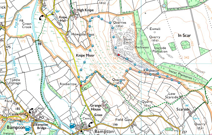
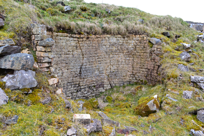
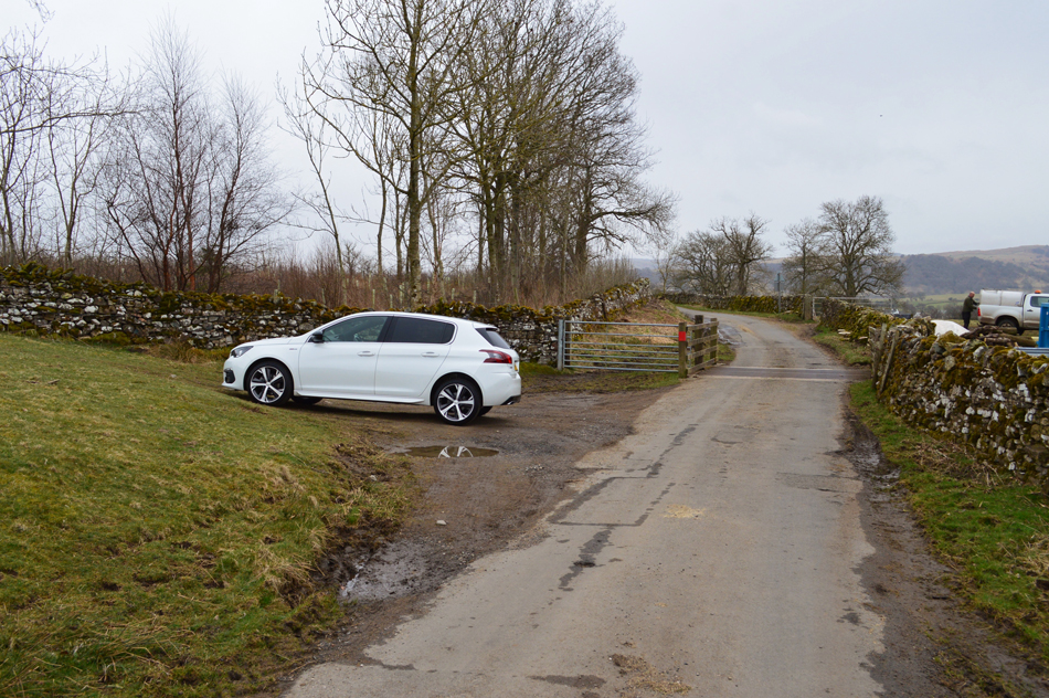
David was already parked up alongside the Church at Bampton Grange when I arrived, it was dry, mild even but the air had that definite feel that rain was on its way. David threw his gear into my car and we drove the mile or so back to the parking space at Knipe Moor which I had viewed using Google Maps a couple of days earlier. Knipe Scar will be a first for the pair of us today.

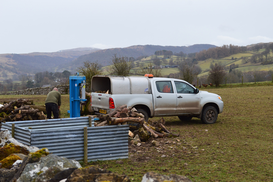
After passing over a Cattle Grid the parking spaces are immediately on the right (if travelling from Bampton Grange) I eased the car into position leaving as much room as I could should anyone else turn up. A farmer is chopping wood the old fashioned way, using an axe! and a not so old fashioned chain saw for the larger logs "Where's doing today then?" he shouts over the wall; Knipe Scar we replied, then Four Stones Hill later, hopefully ahead of the rain "why is gonna rain he asked?" later they reckon "best get choppin me wood then an't I" a friendly chap with a comical attitude.

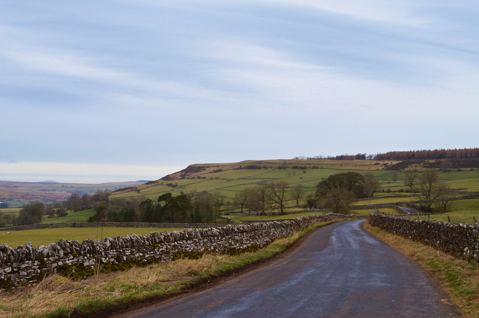
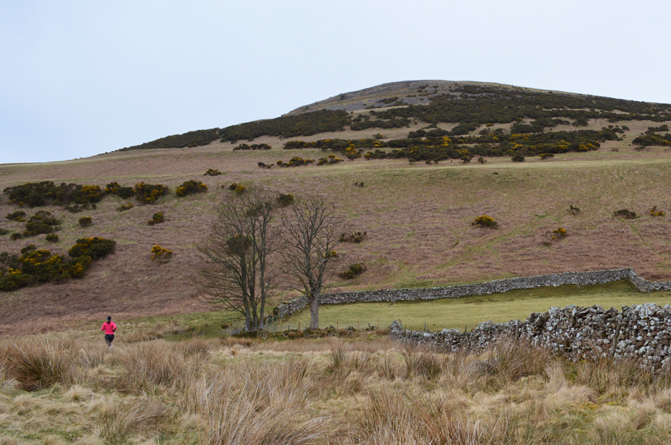
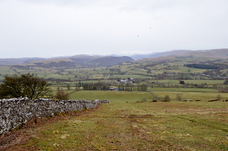
We set off alongside a stone wall while facing the ridge.


Following the Stone Wall.
It's a pretty wet start underfoot as we followed the stone wall which features throughout much of the ascent.

Lime Kiln.

Found just a short stroll away from the path.


Lime Kiln

It appears the quarry is directly behind the Kilns.


Looking back over Bampton Grange towards the Naddle and Bampton Fells.
Continuing to follow the wall we stop to look back on Four Stones Hill seen centre of the photo. In the distance cloud obscures the fells at the head of the Mardale Valley.

We head towards Knipe Scar summit.
We really could have spent more time taking in the Limestone escarpment along with an ancient druid stone circle but with rain on its way we'll have to explore Knipe Scar another day.

The sunken Trig Point at Knipe Scar summit.
From the Trig Point we track north and find a nice smooth grassy path to descend by.

Heading down the north ridge back towards the car.
 

Roadside Parking, Knipe Moor.
Well, thankfully the rain has held off but we wondered for how long. What a great short little walk Knipe Scar is, I only wish I lived eighty eighty miles closer so of an evening I could stroll up here with my dogs and watch that sun go down.


Back to top