Walking the Birketts, Sleddale Fell

30th March 2018

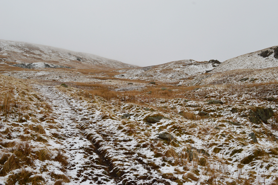
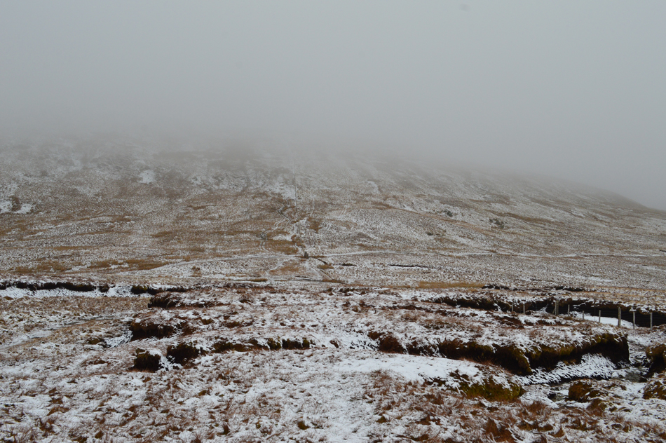
Would you believe the first Bank Holiday weekend of the year and the whole country is hit with yet another wintery blast all the while Daffs are flowering and the fields are starting to fill with Spring Lambs (albeit in their winter jackets)

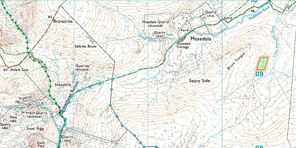
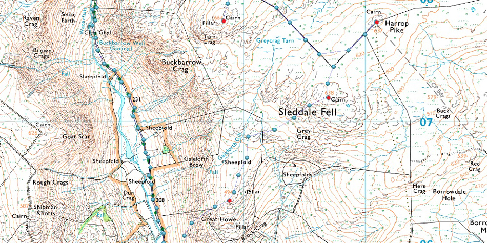
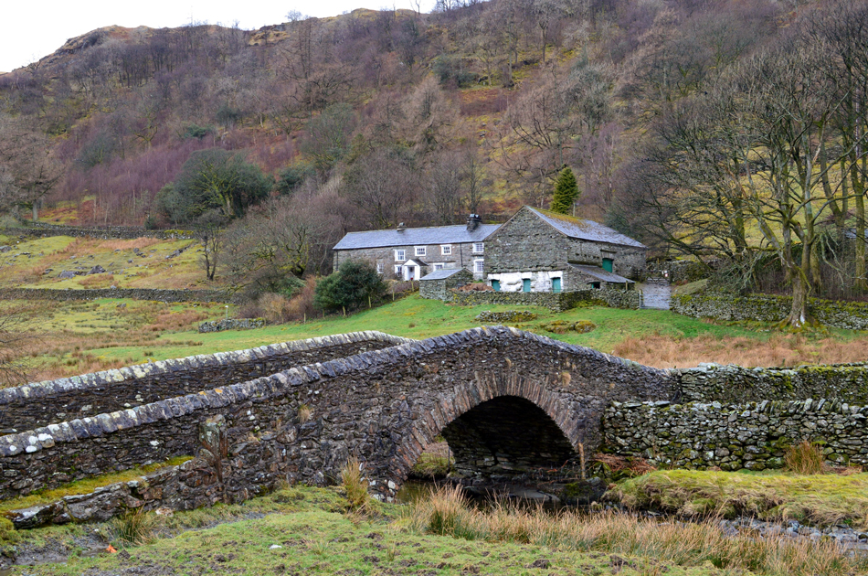
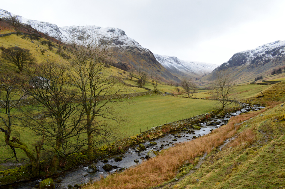
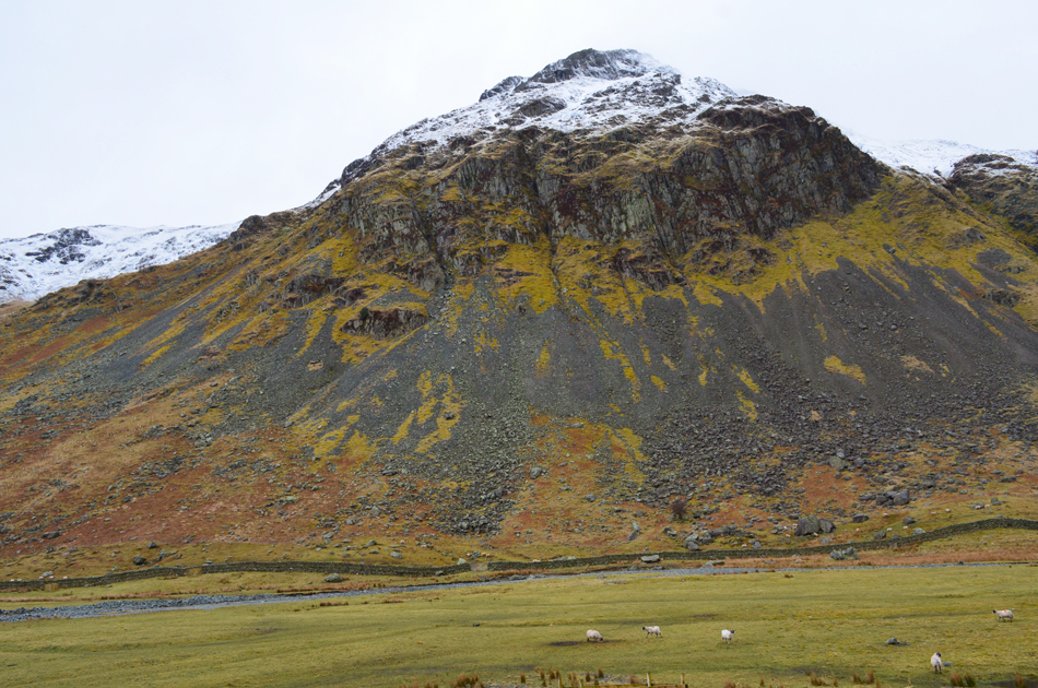
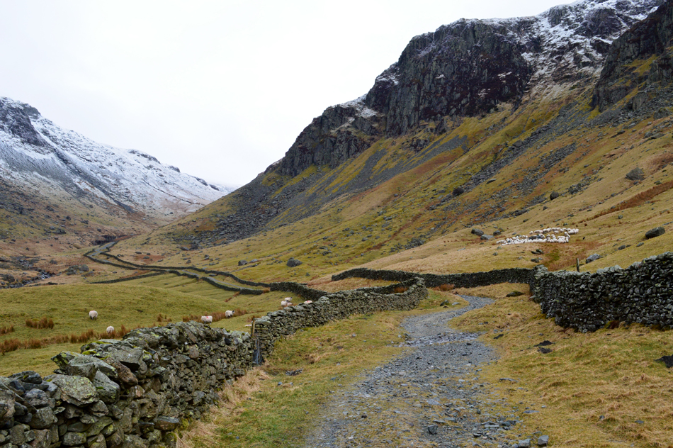
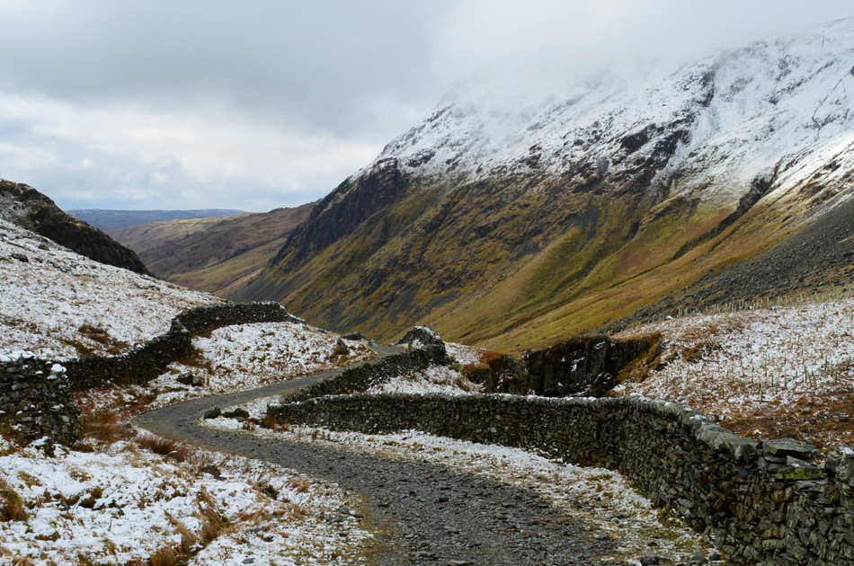
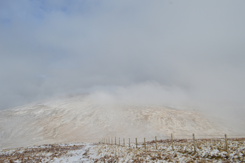
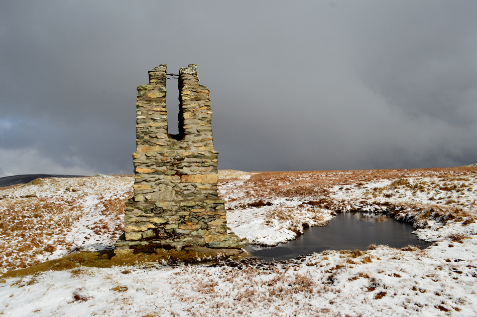
Todays walk is planned around the forecast taking in a much loved area of mine, the far eastern, or Shap Fells, I have always regarded this area of Lakeland as my favourite owing to the solitude they provide where I can take as much pleasure from a walk here as I could on Bowfell or Gable.

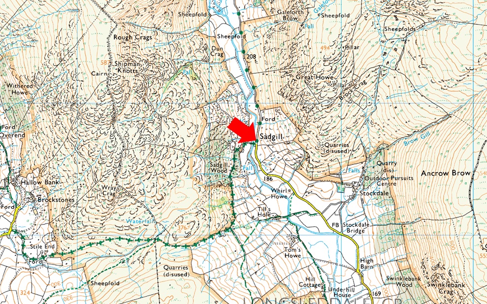
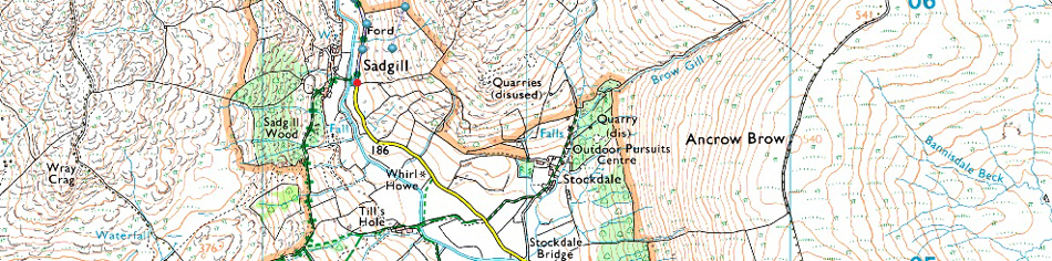
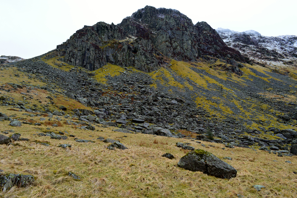
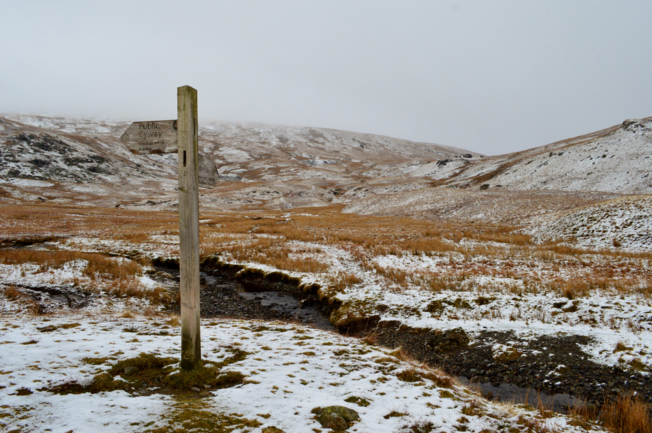
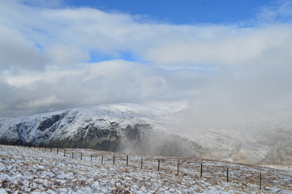
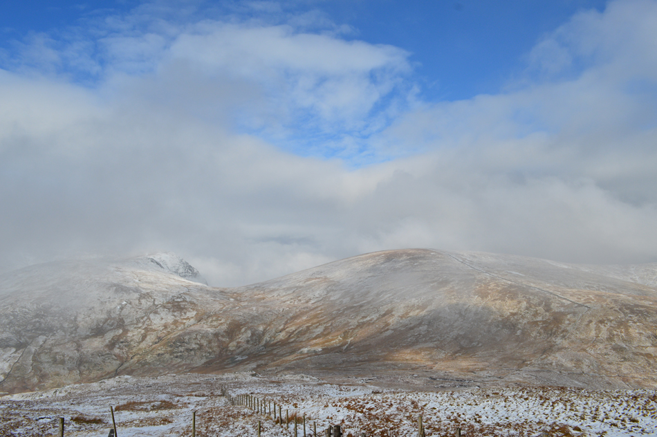
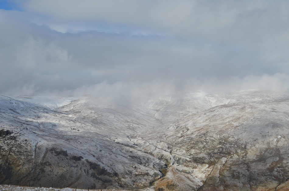
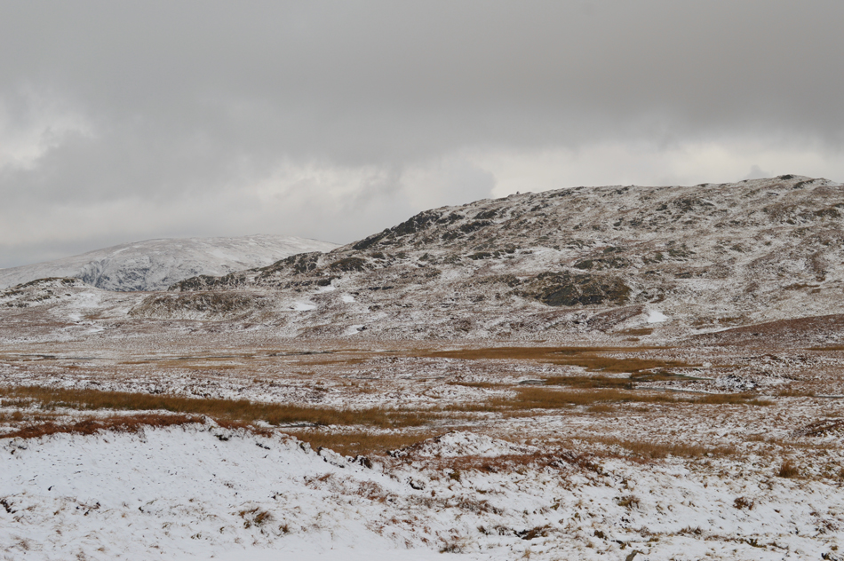
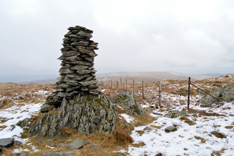
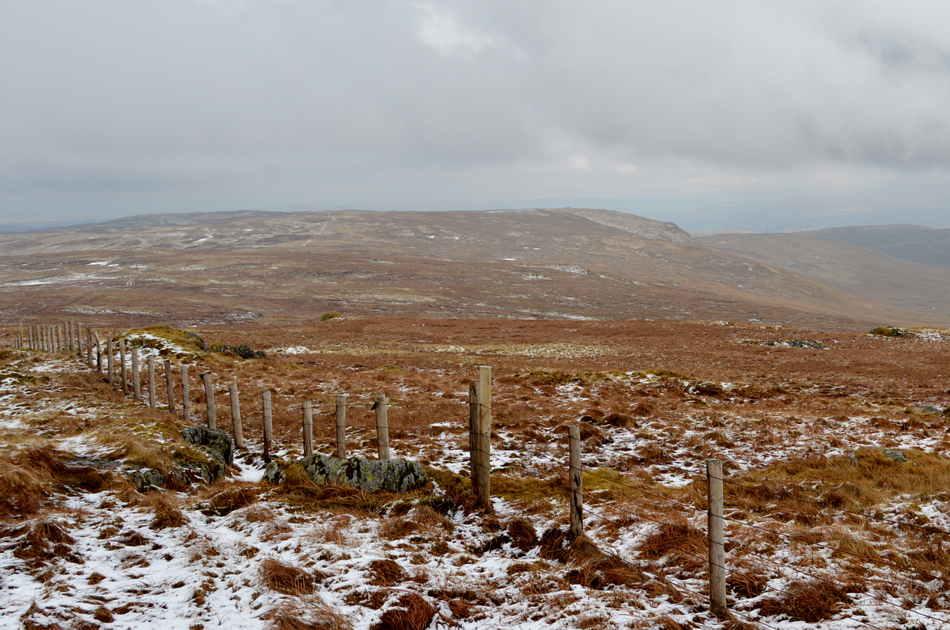
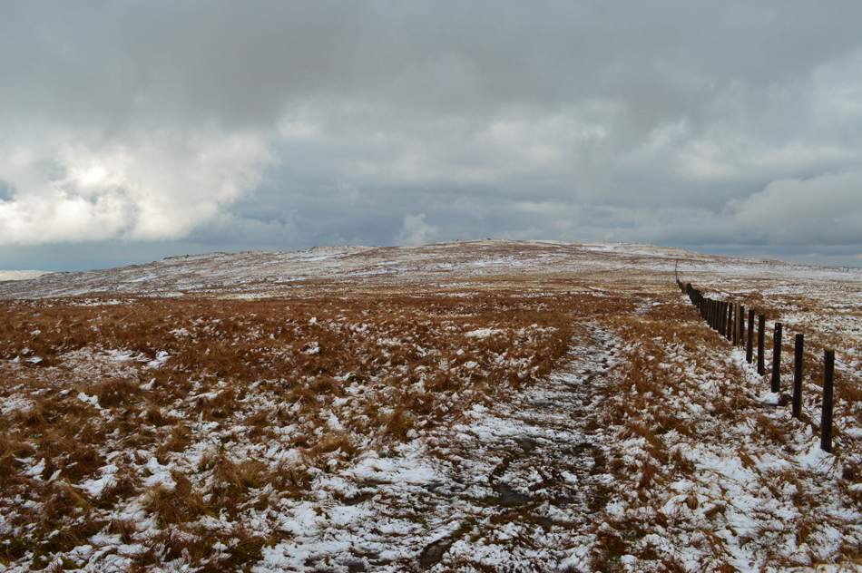
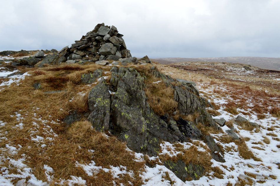
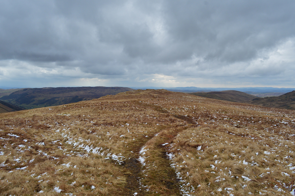
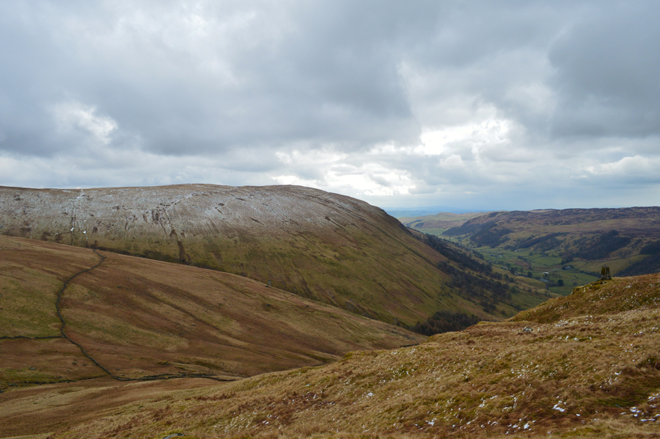
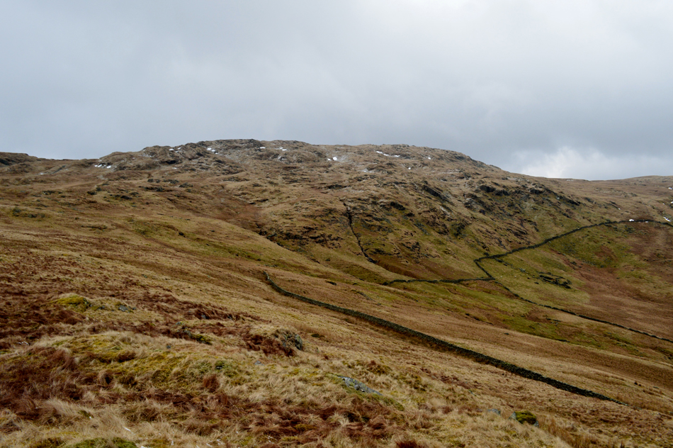
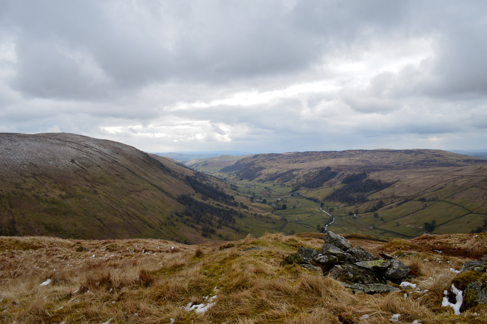
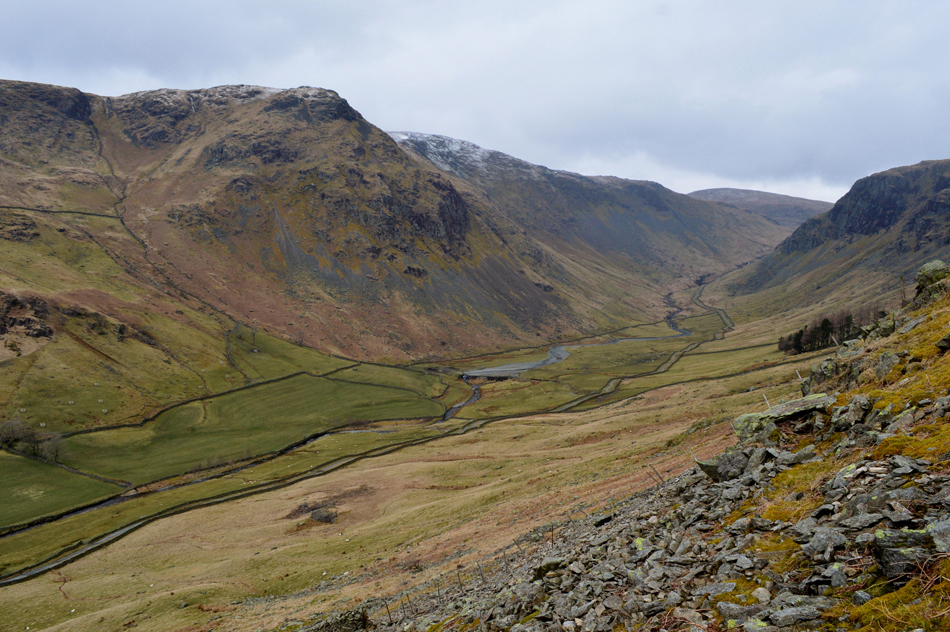
'Sleddale Fell' is a classic round taking in the remoteness of the Shap Fells, a walk where once height is gained views remain over miles of heather into distant vallleys, an area of Lakeland where the only people you might bump into are seeking the same solitude as you.

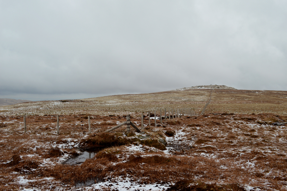
Some may describe this area of Lakeland as flat or boring but I don't believe this to be true. Sleddale Fell conjures up nearly seven miles of remoteness collecting four Birkett summits starting from Sadgill Bridge in the Longsleddale Valley, others may know this walk as 'A Longsleddale Round' Bill Birkett simply named it 'Sleddale Fell' after the fells which over shadows the valley.

 
The Complete Lakeland Fells
By Bill Birkett

-Longsleddale

Longsleddale is both desolate and appealing. It is a narrow bottomed valley running deep into the craggy steps of the high fells.


Overview
Ascent: 2,162 Feet - 659 Metres
Birketts: 4, Tarn Crag (Sleddale Fell) - Harrop Pike - Grey Crag - Great Howe
Weather: Overcast to Start, Low Cloud For a Time - Lifting. Snow Showers and Burst of Heavy Rain. Highs of 8°C Lows of 3°C
Parking: Roadside Parking, Sadgill
Area - Group: Far Eastern - E/SHA
Miles: 6.3
Walking With: On My Own
Ordnance Survey: OL7
Time Taken: 3 Hours 40 Minutes
Route: Sadgill Bridge - Longsleddale - Brownhowe Bottom - Tarn Crag (Sleddale Fell) - Greycrag Tarn - Harrop Pike - Grey Crag - Great Howe - Sadgill Bridge
 

Parking Details and Map
Nearest Post Code: LA8 9BE
Grid Refernce: NY 483 505
Notes: The roadside parking at Sadgill is found deep within the Longsleddale Valley at the end of a long and twisting lane, the only road for six miles that allows access in and out of the valley by car. The lane is narrow with high hedges either side and my advice is when travelling along it be aware of unseen oncoming traffic. The lane ends at Sadgill Bridge below Great Howe and Grey Crag, here you will find parking for up to a ten cars but during Summer it has been known to see cars some way up the valley to the dismay of the local Farmer and his tractor no doubt, my advice is to arrive early, and try to park as neatly as possible, after all Longsleddale is one of those valleys that appears to be untouched by time, Parking is free.


Map and Photo Gallery


Sadgill Farm from Sadgill Bridge 09:30am 3°C

Todays forecast was a mixed bag of cloud, rain and snow showers and it had just stopped raining by the time I arrived at the parking spaces next to Sadgill Bridge. I parked easily although had I have left it any longer this wouldn't be the case with the parking spaces already looking full, I guess there's quite a few out ahead of me. A light breeze makes the morning air feel much cooler than it is and with this gloves are added if only to take the bite away. Waterproof over trousers are conveniently left below the lid of my pack as starting the walk with them on just seemed a little overkill.

With my car locked I gaze up at my last summit 'Great Howe' seated directly above Sadgill and pick out my descent route which included the location of a gate which allows access through a stone wall just below the summit, it's no hardship should this gate be missed but it is included in todays walk detail at the end of the walk. With my car locked I head northwards towards the head of the valley.


Goat Scar (L) and Buckbarrow Crag (R) domineer the views through the valley.
It had snowed last night which left a light dusting over the fells at around 1,600ft.

Passing the dominance of Goat Scar on the West side of the valley.
 

While over towards the East, Buckbarrow Crag.
Only the sound of the farmers quad bike broke the silence as he rode from field to field leaving small bales of hay for the sheep, as you can see, fresh dry grass was very popular on the menu this morning.

A close up of Buckbarrow Crag.
 

Looking back down the valley towards Goat Scar.
Continuing along the track until it starts to rise first steadily then quite steeply through a series of slated zigzags which help to take on the steepening gradient. Here the falls at Wren Gill are reached where it's always worth popping your head over the stone wall while peering down into the clear pools below.

Signpost 'Mardale Head & Swindale Head' at Brownhowe Bottom.

The track levelled for a while after passing a sheepfold on the right. Continue further until this sign is reached, cross the beck and follow a worn path through Brownhowe Bottom.

Despite recent rains and snow it was nowhere near as boggy underfoot as looks suggest.


Brownhowe Bottom.
I'm not quite in the cloud but I'm not far away either, if I had the view right now I'd be looking towards Branstree with Adam Seat and Wrengill Quarry directly behind me. You can just make out the path as it's right up ahead, beyond that are the peat hags and the familiar metal gate found between Branstree and Tarn Crag.

Looking back over the peat hags towards Branstree.
With present conditions it's difficult to see the metal gate but it's right there in the centre of the picture with the snow covered path heading east into the Mosedale Valley.

The cloud begins to break halfway through my ascent of Tarn Crag (Longsleddale)
 

Wowzers.
Here looking west towards Kentmere Pike with Wrengill Quarry lower right.

That's more like it.
Suddenly Harter Fell (Mardale) also comes into view.

Wren Gill and Wrengill Quarry.
 

Survey Pillar, Tarn Crag (Longsleddale)

The ascent of Tarn Crag was a great highlight taken from the walk whichever changing conditions where one minute I was contemplating reaching for my sunglasses the next, I was back in cloud. Everything that the Shap fells mean to me was experienced during my ascent with gaps in the cloud breaking allowing distant views into Mosedale or the simply things like droplets of water hanging from the heather as the sun streaks through made my ascent a real treat.

The shoulder of the summit was soon reached where I was plunged into low light while further west blue skies continued to open. I was now well within the snow line which wasn't hampering things too much my only complaint being how wet the snow was leaving the ground pretty slippery underfoot but on the plus side the ground was semi frozen so at least I didn't sink all the way through.


Tarn Crag (Longsleddale) seen over Greycrag Tarn.

Conditions deteriorated slightly as soon as I left Tarn Crag when thick dark cloud rolled in which obscured any sunlight leaving me thinking had I seen the best of the sun, perhaps. Care was taken descending to the area around Greycrag Tarn mainly due to the wet snow which acted like ball bearings on top of the wet grass.

The area around Greycrag Tarn is notoriously boggy, even during drought. At one time I used to cross this area alongside a wire fence which is often submerged where on some occasions you will find stepping stones left by the kindness of strangers yet after recent visits I think I have found the best way through while keeping relatively dry, this, by keeping the fence about twenty yards left sometimes straying around unavoidable boggy areas and I escaped reasonably well. Conditions however change daily and seasonally, either way expect to get your feet wet when making this crossing and if you don't, well, that's a bonus.


Harrop Pike.
Climb slightly and keep the fence to your left as it traces eastwards towards the summit of Harrop Pike, a singular path leads towards Harrop Pike but after rain, and as I'm about to find out, it can be pretty boggy here too.

Harrop Pike with Great Yarlside in the distance.
I first visited Harrop Pike after spotting the cairn from Grey Crag while collecting my Wainwrights many years ago, intrigued by the pillar like cairn I wandered over and fell in love with the summit and its bleakness at once.

Great Yarlside from Harrop Pike.
When the winds cut through the grass and the birds are singing, the mile between Harrop Pike and Great Yarlside is regarded as one of my personal favourites.

Grey Crag from Harrop Pike.
Time to head for Grey Crag now, it's just a simple case of following the fence to the end then follow the path left towards Grey Crag summit.

Grey Crag summit.

By the time I reached Grey Crag it had started to snow bringing with it fleeting cloud which obscured views in almost every direction, present conditions brought a new meaning to the word bleak. Harrop Pike just seemed to blend it the horizon as did Tarn Crag looking north, its survey Pillar faintly silhouetted against the grey cloud.

I circled the summit feeling cold, I'd made good time so before I headed towards my last summit of Great Howe I hung around a while and it stopped snowing, I could now see movement on Grey Crag next to the Survey Pillar and I wondered of their route. Through the cloud and in the distance smoke billows from the chimneys at Lime Corus Line Works over at Shap and, I have a gulp in my throat.


Great Howe is just ahead.
A path descends Grey Crag to the west with distant views into Bannisdale and the bulk of Ancrow Brow immediately to the left. The path naturally heads towards Great Howe seen here at the end of the ridge.

Views towards Ancrow Brow and Longsleddale.
With the second Survey Pillar found (seen right) just below Great Howe summit.

Looking back on Grey Crag.
The summit of Great Howe is just over my shoulder which you actually 'drop on' rather than ascend too.

Longsleddale from Great Howe summit cairn.
Still a lovelly view whatever the weather.

Longsleddale from my descent back to Sadgill.

With the summit of Great Howe behind me I descend steeply towards the right before reaching a stone wall and a fence which I cross easily, the fell side is steep but a natural grassy corridor leads through dead bracken making the descent much easier this time of year while offering grip underfoot. I make it down to the fields below before arriving back at Sadgill via a gated wall. The farmer has lit a fire and plumes of grey smoke rise through the trees and up into the air meanwhile new born lambs huddle behind walls not making a sound.

It's time to head home while reflecting on a great walk in a much loved area of Lakeland that I really should visit more often.


Back to top