High Street and Mardale Ill Bell

16th November 2017

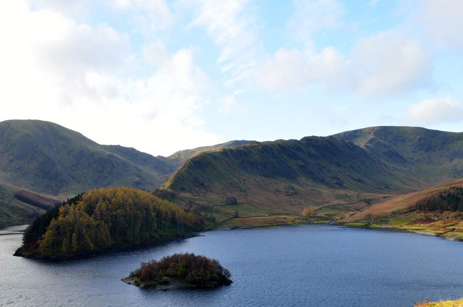
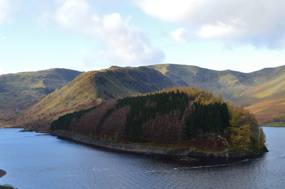
It was impossible to know what the weather was going to be like when I booked these holidays the other week but with a little luck I might just get the weather window I needed. It rained yesterday which continued through the night and into the early hours of the morning but come late morning the rain would clear making way for bright sunshine, a rare forecast in the middle of November.

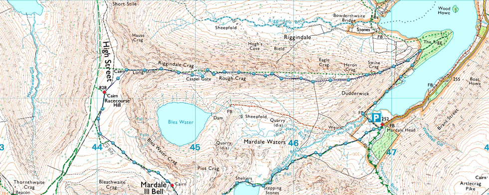
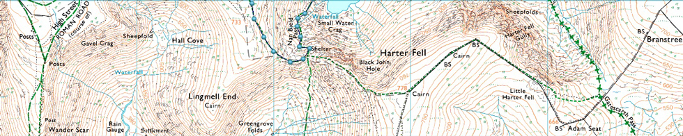
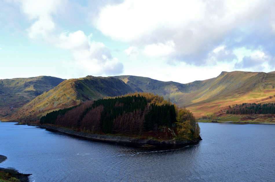
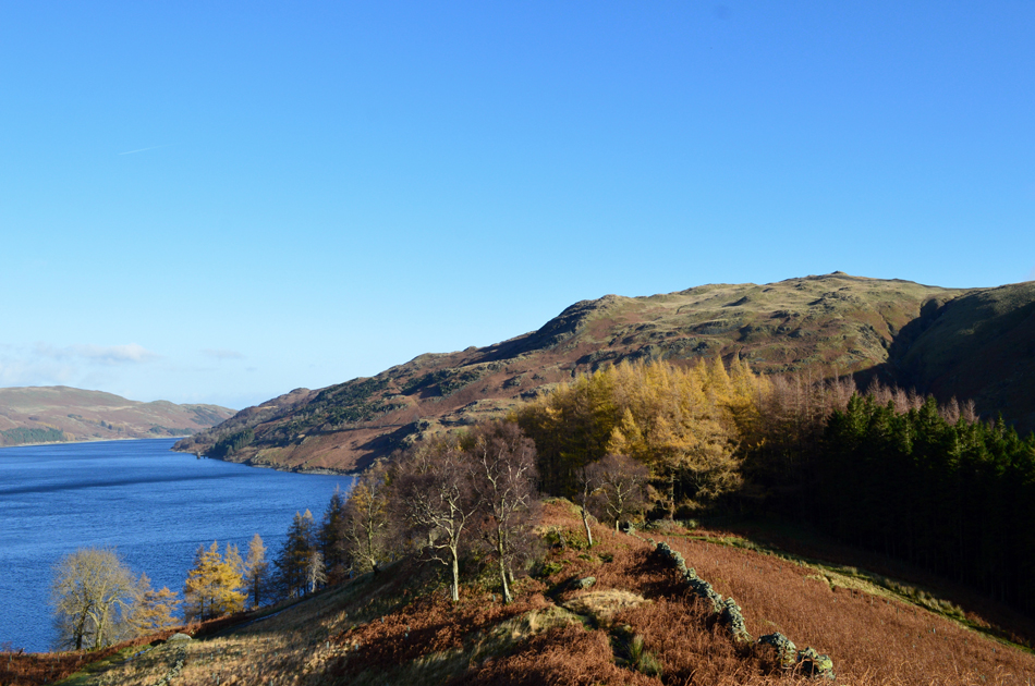
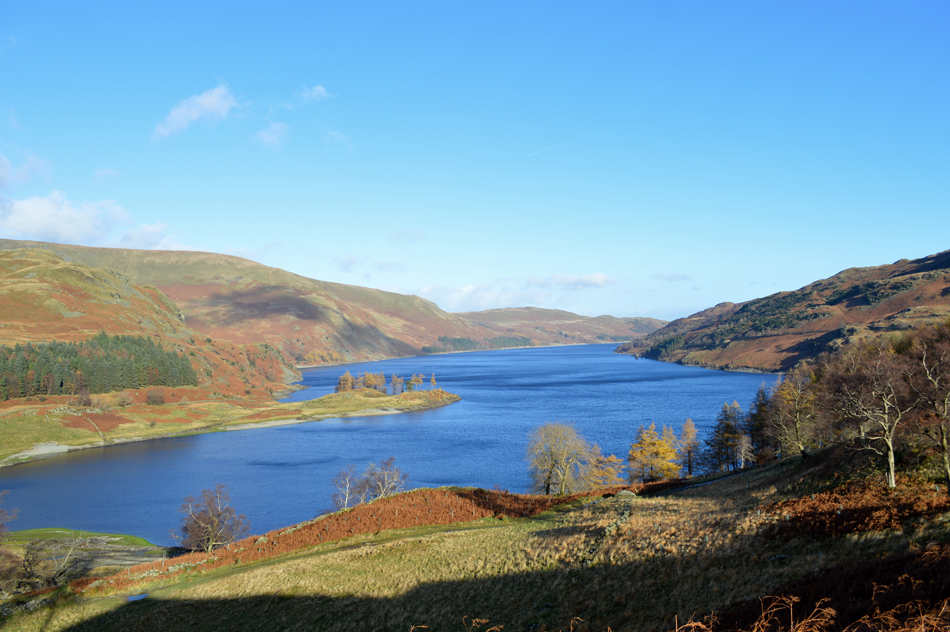
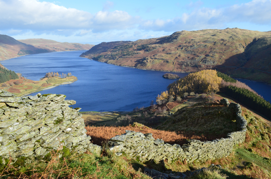
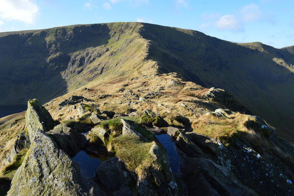
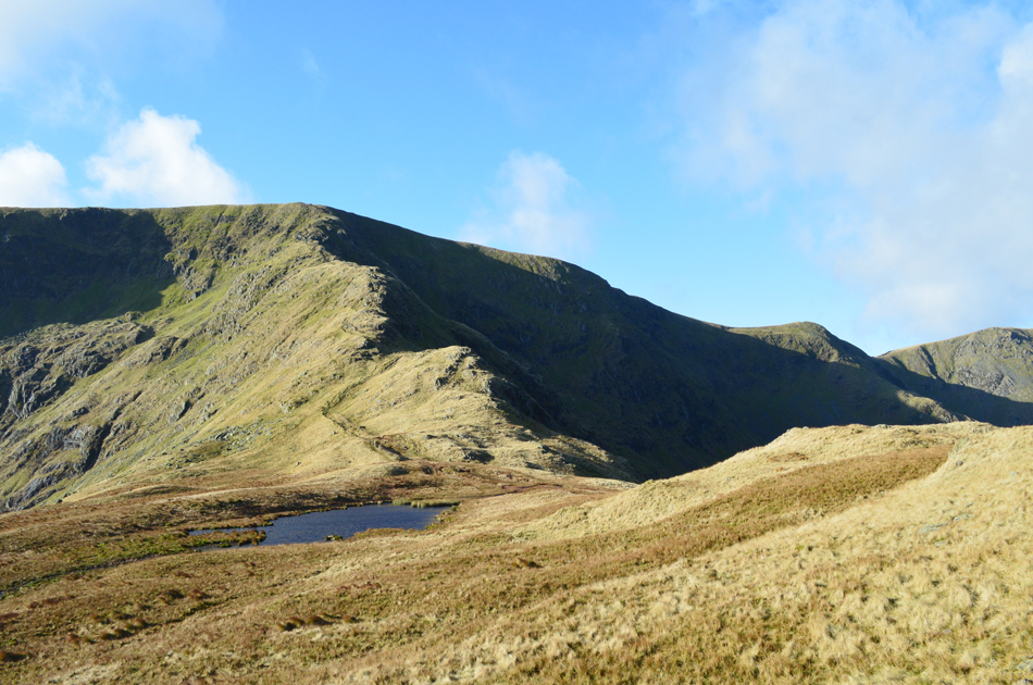
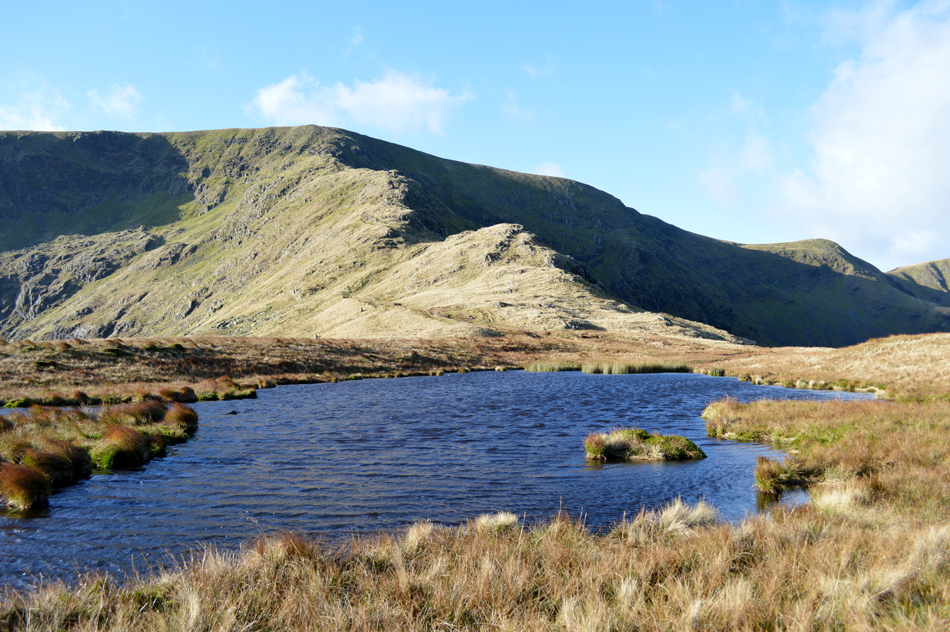
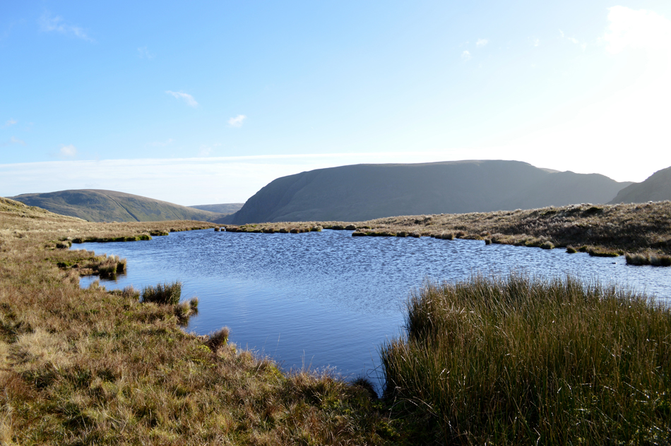
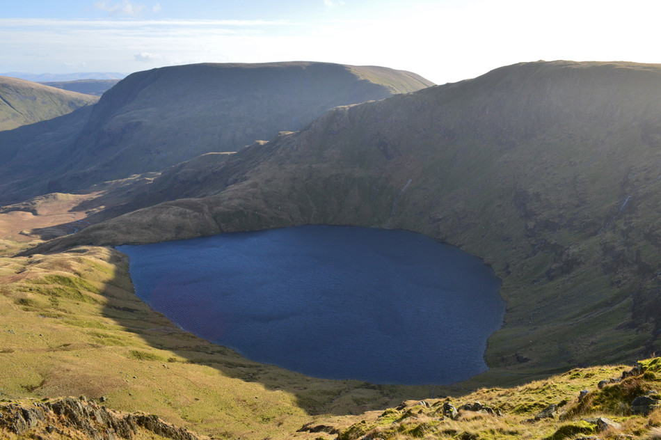
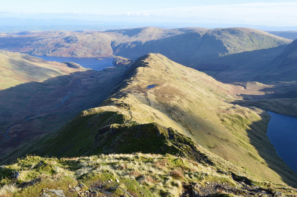
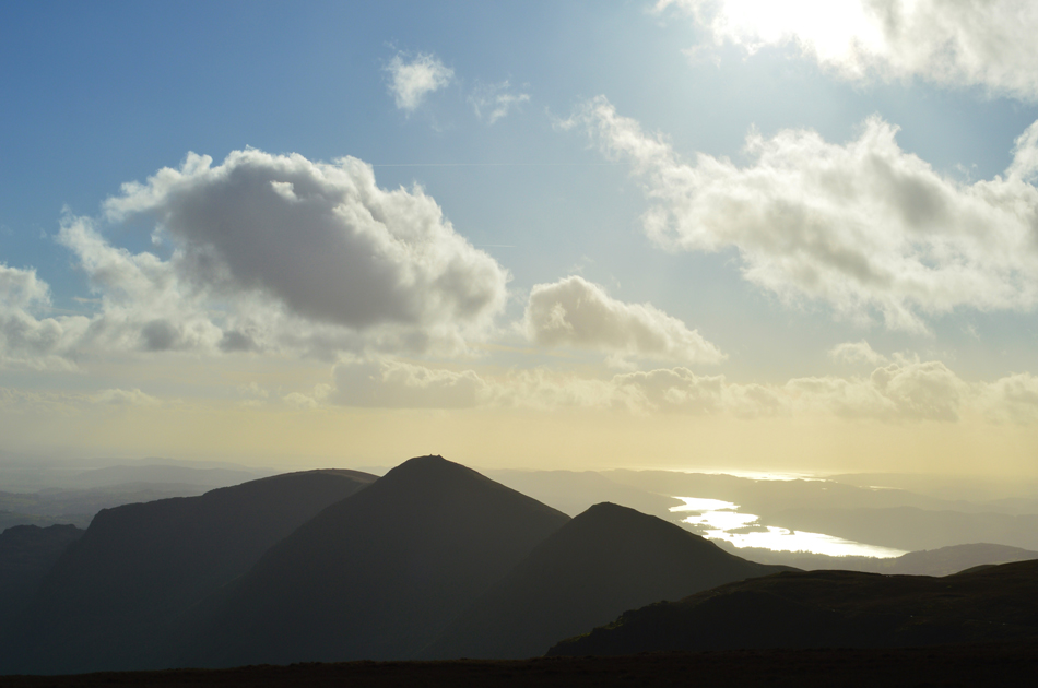
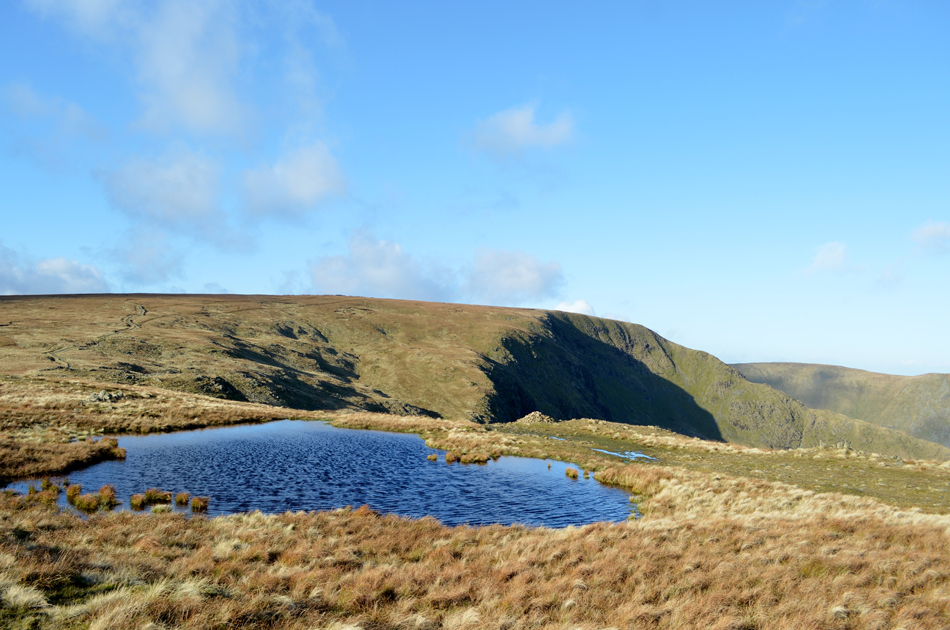
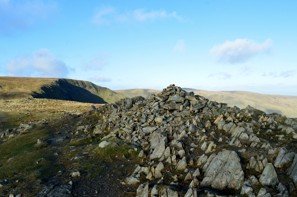
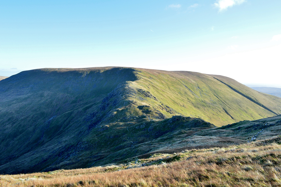
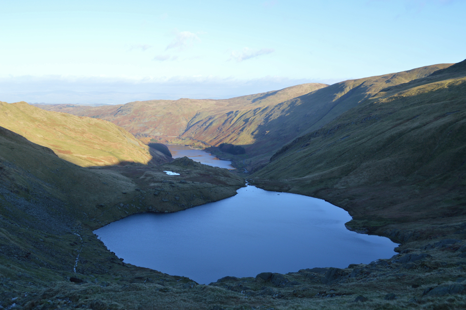
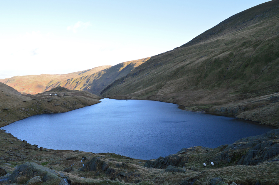
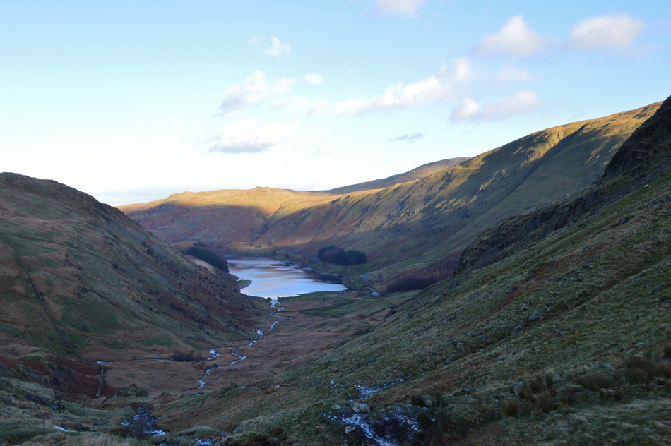
The forecast remained and next came where to walk, with only a four to five hour weather window I knew that my walk would have to be kept below eight miles so I thought I'd return to my old friend High Street and then go on to Mardale III Bell ending the walk with a descent via Small Tarn, a place surprisingly, that I haven't returned to for some years.

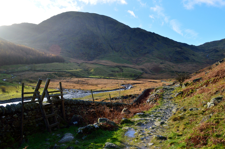
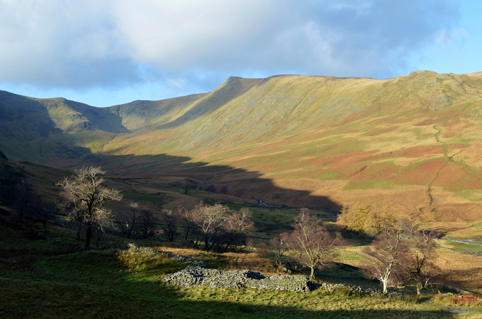
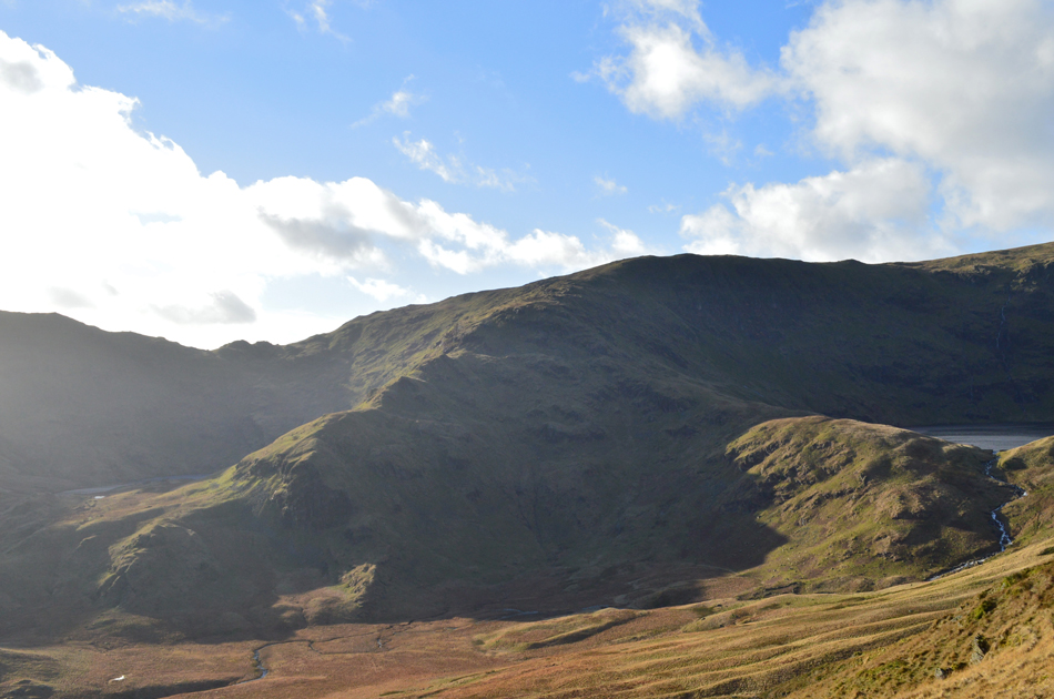
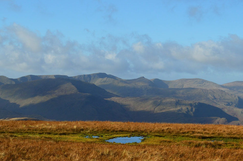
It was the perfect walk where I spent four hours soaking up my surroundings on the fells where I cut my teeth as a novice fell walker, I never knew it back then but a relationship between fell and walker was being forged and will continue to do so on this, my 25th High Street ascent.

 
Wainwright Guide Book Two
The Far Eastern Fells

-High Street

"A striking range in grandeur and wilderness"


Overview
Ascent: 2,708 Feet - 825 Metres
Wainwrights: 2, High Street - Mardale III Bell
Weather: Bright, Sunny and Windy. Gust Across The Summits. Highs of 7°C Lows of 6°C Feels Like -2°C
Parking: Car Park, Mardale Head
Area: Far Eastern
Miles: 6
Walking With: On My Own
Ordnance Survey: OL5
Time Taken: 4 Hours
Route: Mardale Head - The Rigg - Rough Crag - Caspel Gate - High Street - Mardale III Bell - Top of Nan Bield Pass - Small Water - Small Water Beck - Mardale Head
 

Parking Details and Map
Nearest Post Code: CA10 2RP
Grid Reference: NY 469 310
Notes: Probably one of the most scenic car parks in Lakeland found at the head of the Mardale Valley offering easy access onto the High Street fells plus many more. The car park during Summer can fill up quickly but with most car parks in Lakeland if you time your arrival early enough you're always guaranteed a parking place. Parking is free.


Map and Photo Gallery


Views over Haweswater towards Harter Fell (Mardale) Mardale III Bell The Rigg and High Street 10:50am 6°C

It was raining when I left home and the low cloud and mist continued for much of my journey until I reached junction 37 of the M6 where I could see vast chunks of blue sky appearing between the grey cloud. The road surface was still wet with spray and either side of the carriage ways acres of fields glistened under the bright sunlight, thinks were definitely looking good.

I left the motorway at Shap and after driving through the village joined the back roads sign posted Haweswater. The roads here were bone dry and the skies were getting clearer and clearer by the minute but I could still see cloud clinging to the tops of the High Street fells which I guess after rain, was expected. Any lingering cloud had disappeared by the time I joined the Lake Road towards Mardale Head where I always try to stop to take a few pictures, it was here on the road my hands felt the chill almost instantly, I reckon I'll be needing the gloves today.


The Rigg, The Rough Crag Ridge and High Street from the Lake Road.
 

The sun breaks through over Riggindale and Kidsty Pike but Mardale is still largely in shadow.
 

Looking back on Mardale Head, Harter Fell and the top of Nan Bield Pass as I head towards The Rigg.
The low point in the far right of the photo is the top of Nan Bield Pass from which descends to Small Water later.

Views into Riggindale towards Kidsty Pike.

Despite this being a mid week walk there was still a handful of cars at Mardale Head but I still managed to park easily and began to kit up at the back of the car. I add my gaiters knowing that it's going to be pretty wet underfoot especially during my descent from Small Water. My gaiters are torn on the inside leg and really I should have got a new pair ready for Winter weeks ago but I just haven't got around to it yet. Through the new Deer fence a couple head out over Gatescarth Pass and all that is left is the sound of the wind howling down the valley.

With the car locked I leave the car park through the Deer Fence and head towards the footbridge over Mardale Beck, the ground underfoot isn't just wet it's also heavily muddied so I walk along the edges of the path to save my boots from getting too wet/muddied knowing I'll be needing them again in two days time when I meet up with David.


Views over The Rigg towards Selside Pike and Haweswater.
 

Looking back on Haweswater towards Speaking Crag and Whelter Bottom.
Time to start my ascent on the ridge now first via Swine Crag.

Looking down on the The Rigg from Swine Crag.
The ascent is steep to start but the views are always worth it especially this one from "the break in the wall" on Swine Crag. I found this exact spot a few years ago and fell in love with the view instantly, one of the photographs I took that day was later used on the back cover of a book named The Mardale Shepherds Meet by the late Lakeland legend that is Ron Black and up until today I'd forgotten the exact location so I took a grid reference for the future.

RAF Tornado G4 over Mardale.

I was still stood at the grid reference on Swine Crag when this RAF Tornado screamed through the centre of the valley, seeing a Tornado isn't uncommon as the pilots train over the Lake District regularly and the best time to spot one is during the week such as today. As in most cases you hear the Tornado well before you can see it, I was just lucky enough that I hadn't put my camera away from the previous photo so I was able to get a few shots as he flew low over the top of Haweswater.


Within the blink of an eye the pilot begins to level the aircraft out.
 

Ready for his pass over the top of Nan Bield.
I swear that pilot has green eyes.

Looking towards Mardale III Bell with a glimpse of Blea Water on the right and Small Water on the left.
 

Long Stile, Short Stile and High Street from Rough Crag summit.

It remained bright so much so it was too bright to look back over my shoulder but I wasn't complaining. A cold wind accompanied my ridge walk and in gaining Rough Crag summit I was hugely disappointed to find that someone had destroyed the summit cairn which now lay scattered in heaps at my feet. Bastards.

Had I the daylight hours I could have spent time at least lifting the larger on the stones back into place but sadly time wasn't on my side and I had no choice but to continue towards Caspel Gate (seen as the depression up ahead) it's another much favoured place along the ridge for me and on a day like today I should be spoilt with great views.


Long Stile, Short Stile and Two Penny Crag from Gaspel Gate.
 

Long Stile and Short Stile from Gaspel Gate Tarn.

Having descended Rough Crag I followed a faint grassy trod towards Caspel Gate Tarn and was rewarded with this spectacular view of Long Stile. The wind howled over the ridge and within what felt like seconds my hands began to feel raw, I think they've put up with the chill for long enough so I slipped a pair of gloves over them which instantly felt like I'd put them in the oven.

I hung around recording a short clip on my mobile phone which I later uploaded onto my Facebook page. I scour the ridge then the summit and across the compass. I spot no one.

There are no words to describe moments like these.


Branstree and Harter Fell from Gaspel Gate Tarn.
 

Views over Blea Water towards Mardale III Bell and Harter Fell.
i never tire of the ascent of Long Stile and today was no different each time finding new routes or sections of path that I haven't used before but the ground underfoot is as familiar as ever.

Views back down the ridge over Mardale Head towards Branstree, Selside Pike and the Hare Shaw.
Not far from the summit now.

Distant views over Birks, St Sunday Crag, Nethermost Pike, Helvellyn, Catstye Cam and Whiteside.
Last weeks dusting of snow has completely disappeared now but it won't be long until the snow is back.

Lunch with a view.

The final part of Long Stile ascent involves a steep climb over rough rock and by the time I reached the cairn at the top my body core temperature was through the roof but I couldn't feel my face due to the sudden windchill! Two fell runners run towards me and pass with a Hi before I make my way towards the summit where I also spot two guys who shield themselves (on this side of the wall) from the wind chill while eating hot food cooked on a camping stove. You wouldn't be human if you didn't envy them right now.

I make my way over towards the summit and tap the Trig Point with my gloved right hand. The wind is piercing and I scour the summit wall for the best shelter easing myself down on a dry rock as the summit wind howled over the top of my head, lunch today is going to brief to say the least.


Golden views over the III Bell ridge towards Windermere and Morecambe Bay.
 

High Street from Mardale III Bell.

With lunch eaten I re-shoulder and walk south for a short while having no choice than to avoid the ground underfoot which is sodden so I walk through the wild grasses instead. I soon reached the stone cairn where the path takes a sudden left turn towards Mardale III Bell while enjoying the views over Morecambe Bay which is illuminated in a golden glow as to was Windermere.

It's a gentle downhill stroll to reach Mardale III Bell and I savour every moment.


High Street from Mardale III Bell summit cairn.
 

Descending Mardale III Bell with views over the top of Nan Bield Pass and Harter Fell.
I hadn't dropped much descent but it was enough to find myself out of the firing line of the summit winds and the severe windchill they brought! This section of the route has a stepped path for the majority of the way which makes my descent rather quick and before I knew I'm standing at the shelter at the top of Nan Bield Pass talking to a guy who has just ridden (and carried) his mountain bike up from Small Water.

Views over Small Water and Haweswater from the top of Nan Bield Pass.
The descent from the top of Nan Bield Pass is quite rough underfoot with a rocky steep path to follow which had flowing water over the top meaning my descent slowed considerably and I started to feel the chill once again, no wonder, I think that's the last I'll see of the sun for a hour or so.

Small Water.
 

The Stone Huts found on the path besides Small Water.
It's quite uncertain who built the stone shelters but they were probably used by travellers between the valleys and later by quarry men, what ever they were built for they're quite accommodating even for the tallest amongst us if you don't mind lying down that is.

Small Water Beck.
 

Views over Haweswater and a sunlit Selside Pike from my Small Water Descent.

The difference between being between light and shade at this time of year, even at this low height is quite considerable and while I was still feeling the chill at least I was able to keep myself warmish by hurrying my ascent were possible. The sound of Small Water Beck was never far away and at times I wandered over when I could to view the waterfalls which roared over the top of the wind.

The car park from here is never far from view and after passing a couple who were making their ascent on Harter Fell in order to view the sunset I soon found myself getting closer to Mardale Head. The two walkers who I had seen eating from a camping stove had made their descent via the Rough Crag ridge and it looked like we would arrive back at the car park at the same time, I don't speak of my envy of their hot food back at the summit but during my drive south as the sun was going down I wondered of the couple who by now were about to take in a beautiful sunset from the summit of Harter Fell.


Back to top