|
Nab Scar, Alcock Tarn and Loughrigg Fell |
 |
 |
24th September 2017 |
 |
|
A bit of a change to this weekends walk which for anyone who is up to date with last weeks walk might remember that I said that we would be returning to one of the summits and left you guessing which one, well I hope you don't mind if you keep up the guessing because it might be a few weeks until that summit is revisited mainly because I had to pull out of the walk due to a last minute change of plan at home which saw me walk this old favourite instead.
Today I'm in Rydal just outside Grasmere visiting two fells that last linked together a week after the devastating floods back in December 2015, back then the land was still recovering from the flooding most of which was still under water, it was a day that I will never forget almost as if the land was still bleeding, unable to get back onto its feet. I vividly remember the silence whilst descending towards Alcock Tarn from Nab Scar but today I want to return and walk a very similar route after the fields and its villages had returned to normal, almost as if that particular memory from that December day could be partially erased. Today I did just that. |
|
|
|
| |
|
Overview |
|
|
| Ascent: |
2,572 Feet - 784 Metres |
| Wainwrights: |
2, Nab Scar - Loughrigg Fell |
| Weather: |
Overcast With Some Bright Spells, Mild. Highs of 17°C Lows of 9°C |
| Parking: |
Roadside Parking, Rydal Church |
| Area: |
Central and Eastern |
| Miles: |
6.2 |
| Walking With: |
On My Own |
| Ordnance Survey: |
OL6 |
| Time Taken: |
3 Hours 50 Minutes |
| Route: |
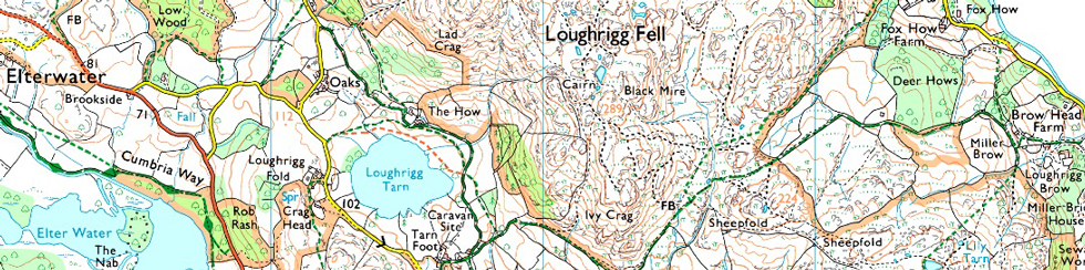
Rydal Church - Nab Scar - Allcock Tarn - Brackenfell Wood - A591 - Loughrigg Terrace - Loughrigg Fell - Loughrigg Cave - Rydal Water - Rydal Church - Rydal Hall - Rydal Church |
|
| |
|
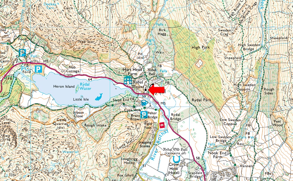
Parking Details and Map |
|
|
| Nearest Post Code: |
LA22 9LR |
| Grid Reference: |
NY 364 706 |
| Notes: |
The roadside parking at the side of Rydal Church has always been a very popular place to start your walk especially those walking the Fairfield Horseshoe of visiting Loughrigg Fell, Rydal Hall and Rydal Tarn. There once was room for up to twenty cars plus but this was limited after Storm Desmond during the Winter of 2015 when the road and the drains where damaged resulting in limited parking. If you arrive early you shouldn't have any problems parking but if left late you may struggle. At the side of the Church there is a Honesty Box. |
|
| |
|
Map and Photo Gallery |
|
|
 |
| Rydal Mount, Rydal 08:10am 9°C |
It was an uneventful drive north under the cover of darkness before witnessing a rather weak sunrise most of which was partially hidden behind cloud. It's a mild morning here in Rydal and because of that I've chosen to wear shorts, possibly for the last time this year, we shall have to see. It's been well over twelve months since I attempted to park on the road alongside Rydal Church which was damaged during the storms of Winter 2015 which saw ruts appear over the drains, today the ruts are still there sunken into the tarmac and for now the road is still coping well.
I arrived just gone 08:00am feeling a little apprehensive if the road would be open to parking even coming up with a plan B of the Greenburn Horseshoe from Grasmere which in the end, wasn't needed. Further up the lane a fell runner kits up behind his car and mornings are shared as I walk up the steep hill towards Hart Head Farm passing Rydal Mount along the way. |
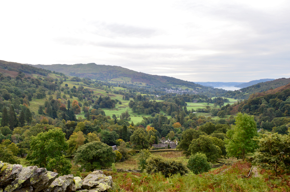 |
| Looking back on Wansfell Pike, Ambleside and Windermere. |
| I had heard on the previous days forecast that morning mist might linger in the valleys but there was no such luck this morning. Instead I was treated to wonderful views of the trees in the woodland below within the cusp of Autumn, some of the leaves are starting to change colour but it's going to be a few weeks until we get that wonderful orange Autumnal glow just yet, either way it's still a lovely view. |
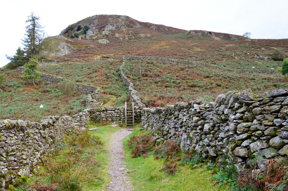 |
| The all too familiar ladder stile below Nab Scar. |
| After a steep burst of ascent with still plenty more to come. |
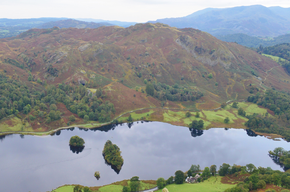 |
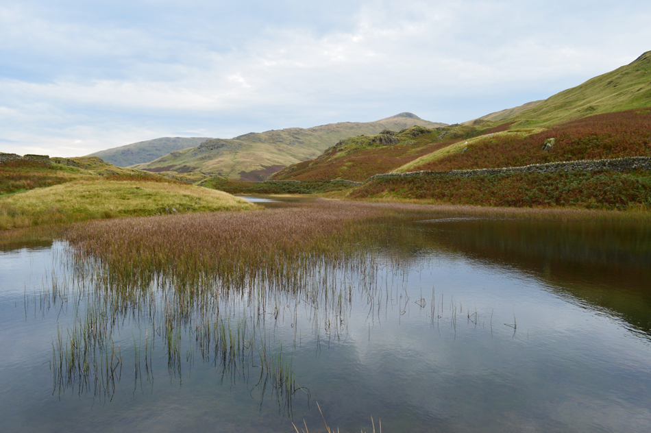
| Views over Rydal Water towards Loughrigg Fell. |
| It was as ever a steep ascent reaching this viewing point over Rydal Water and Loughrigg Fell where I stopped for a breather before noticing that the fell runner from back at the Church was now behind me and hot on my tail. I suspect with the ground I have on the fellow it might be a photo finish at the summit! |
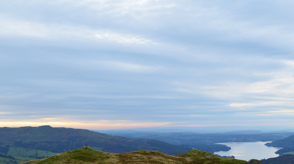 |
| The stillness of a Wansfell Pike sunrise. |
| |
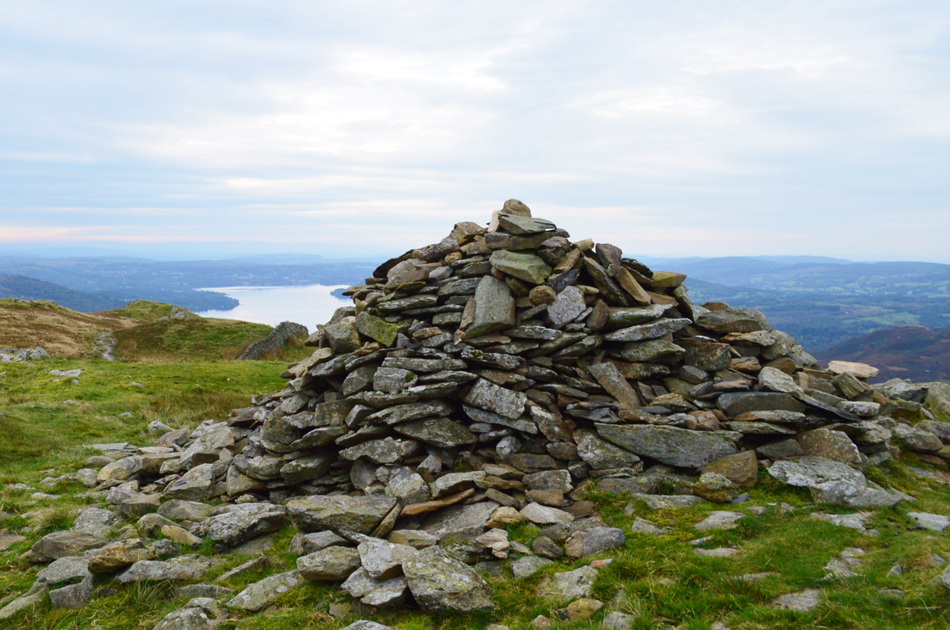 |
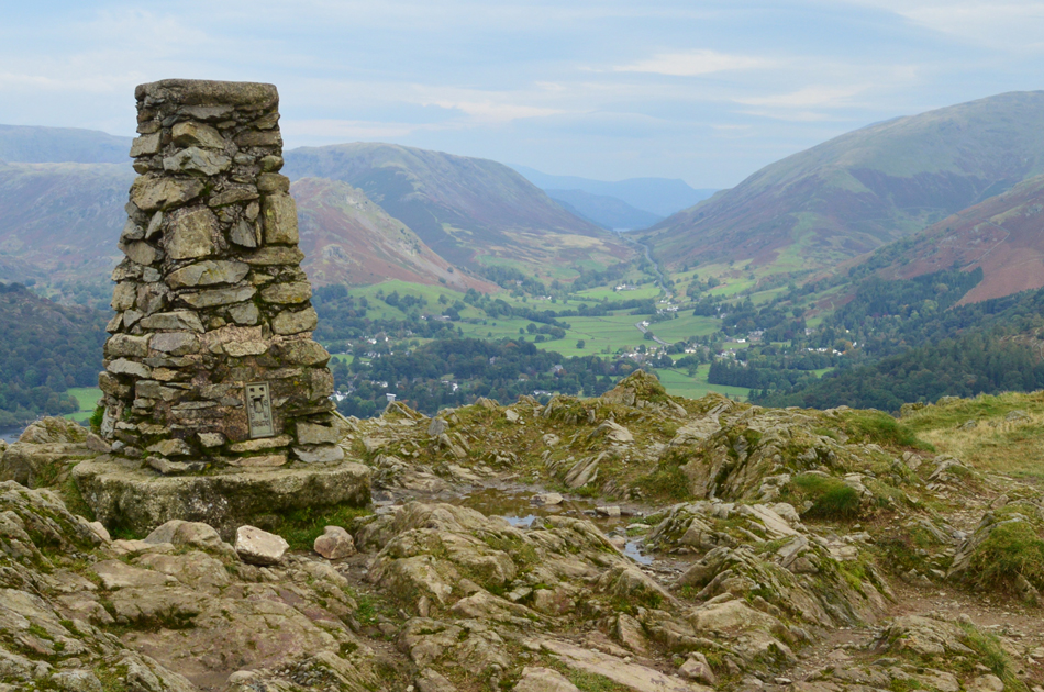
| Windermere from Nab Scar summit. |
| There was no way I was going to hold off the fell runner, who had caught up with me moments later with another 'morning' I'm not sure why my competetiveness still rears, perhaps it's from my footballing days I'm not sure. |
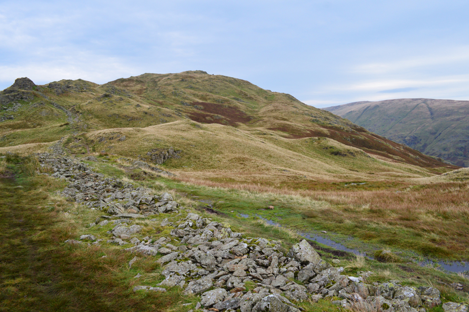 |
| Lord Crag and Heron Pike from Nab Scar. |
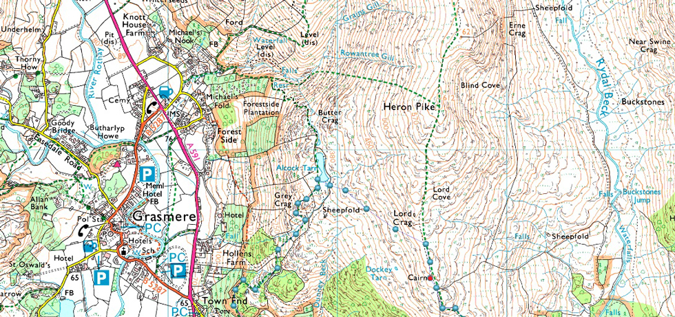
| My next stop will be Alcock Tarn via a narrow path which flanks below Lord Crag seen over on the left, a stone cairn can be found in the depression between Nab Scar and Heron Pike which is where I'm heading next. |
 |
| Descending towards Alcock Tarn with views over Ullscarf, Helm Crag, Greenburn and Steel Fell. |
| You can just about make out Alcock Tarn in the centre left. This photo really doesn't show how wet and boggy this descent was which caused me at times to regret not wearing long trousers. |
 |
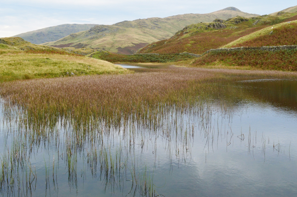
| Alcock Tarn. |
| And it looks like I'm not the only one here. |
 |
| Seat Sandal, Great Rigg and Stone Arthur from Alcock Tarn. |
| Stunning and well worth the wet legs. |
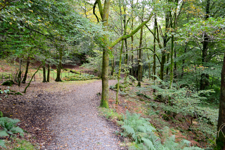 |
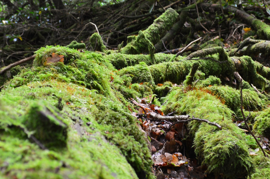
| Peaceful Brackenfell Wood. |
I couldn't not retrace my way alongside the Tarn towards a gate where last year during my last visit I freed a sheep who's horns had got stuck in the metalwork of the gate, back then I was wearing my brand new Rab Latok jacket which the sheep christened for me after freeing its head it then wandered off (possibly in shock) into the middle of a frozen pool which I then had to pull it out of, it's funny how you can look back and laugh but back then I was starting to get a bit panicky but it all worked out in the end. After leaving Alcock Tarn behind I began the steep descent into Brackenfell Wood where I de-layered and rolled my sleeves up, it was so peaceful walking through here this morning. |
 |
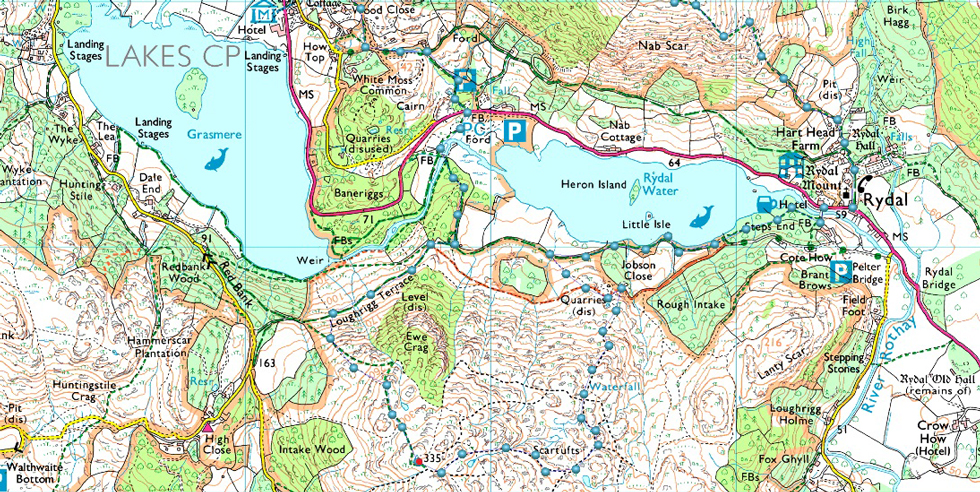
| Whitemoss Tarn, Rydal Coffin Route. |
| It's quite sad that the tarn has been left to get so overgrown, I do actually remember a time when the water was clearly visible, Lilies an all. |
 |
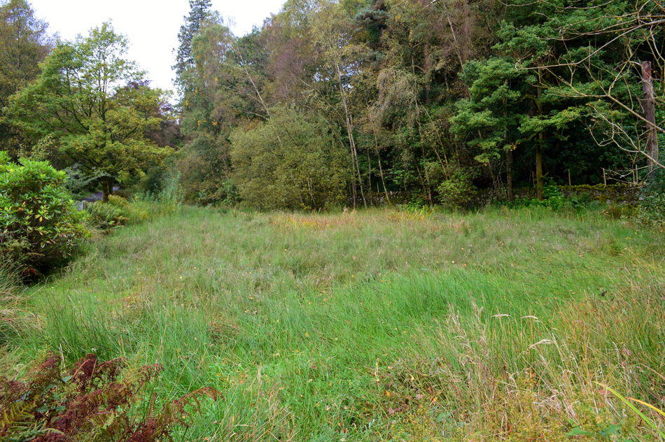
| Whitemoss Common. |
Directly opposite the tarn a narrow lane opens out into Whitemoss Common, the track leads away from the Coffin Route and gently descends towards the A591 which I will then cross before making my way towards Loughrigg Terrace via a footbridge over Grasmere (Lake) outflow. |
 |
| Footbridge over the Grasmere's Lake outflow. |
| Such a beautiful spot, I could have pulled up a log and people (and duck) watched all morning. |
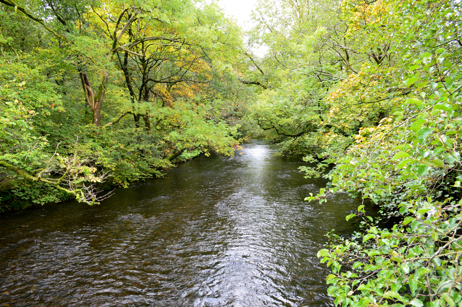 |
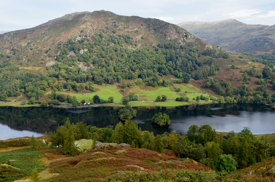
| Looking towards Grasmere Lake. |
| Idyillic views of Grasmere's ouflow before it flows into Rydal Water, perhaps even, one of Lakelands hidden gem views. |
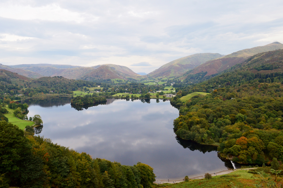 |
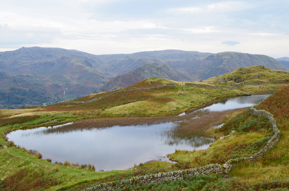
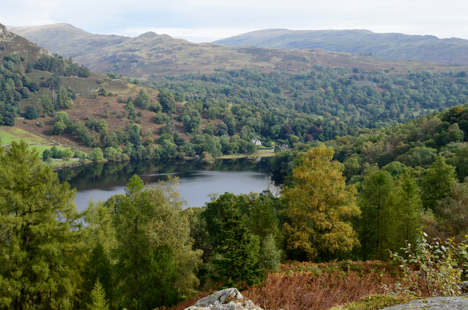
| Dunmail Raise seen beyond Grasmere Lake from Loughrigg Terrace. |
| After crossing the footbridge over the outflow I continued through woodland and followed the sign posted for Loughrigg Terrace. From the start of the Terrace it's just a short stroll with outstanding views across the Lake towards the stepped ascent of Loughrigg Fell. |
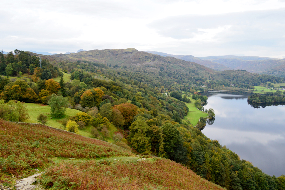 |
| Silver How from the ascent of Loughrigg Fell. |
| The light is ever so slightly starting to fade and if I'm not mistaken distant hills are becoming less visible due to haze which was forecasted before the rain would arrive later during the day. |
 |
| Dunmail Raise from Loughrigg Fell summit. |
| In all my ascents of Loughrigg Fell this is the first time that I've had the summit to myself, not a bad morning by all accounts for such a popular family fell. |
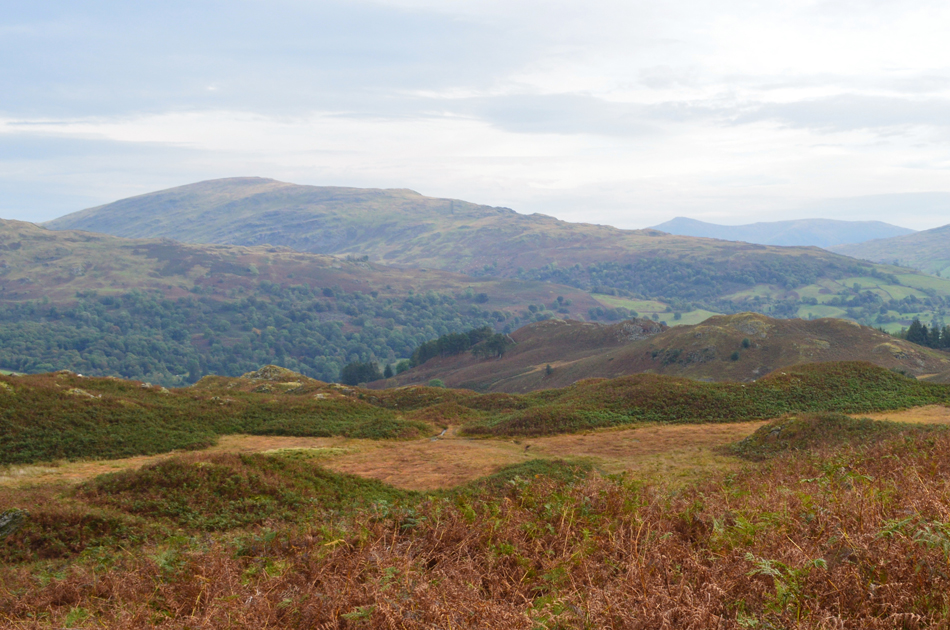 |
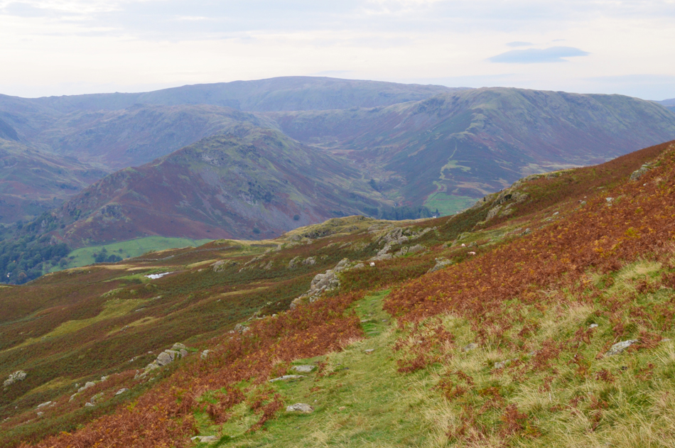
| Red Screes and Snarker Pike from Loughrigg Fell. |
| I'm heading over an area of the fell known as Scartufts where the topography of the fell can be misleading due to the many paths found across here most of which all come together in one place or another. Today I'm heading for the craggy outcrop of rock seen centre left which is the rocky area directly above Loughrigg Cave but first I have to cross the boggy bit in the centre first. |
 |
| Nab Scar over Rydal Water and the top of Loughrigg Cave, |
| That flat bit of rock down there seems like a perfectly good spot for an early lunch. |
 |
| Lunch with a view. |
| Thats High Pike, Low Pike in the foreground with Red Screes and Snarker Pike in the distance. |
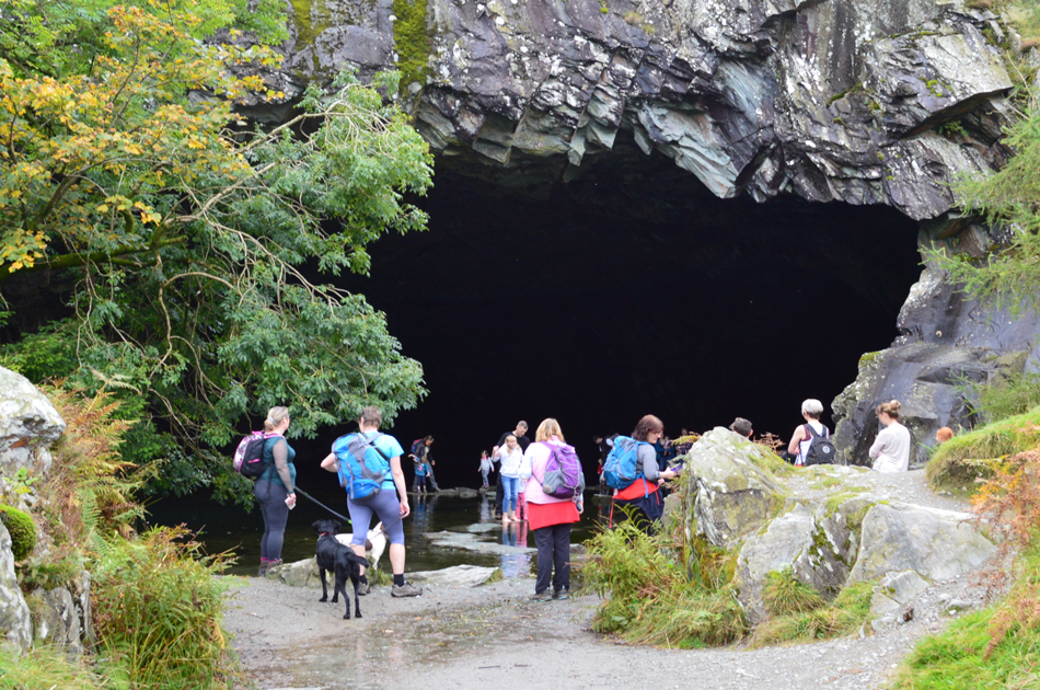 |
| Loughrigg Cave. |
| You know when you drop your kids off at a party and then go back to pick them up a couple of hours later! |
 |
| Nab Scar reflections. |
| |
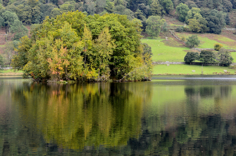 |
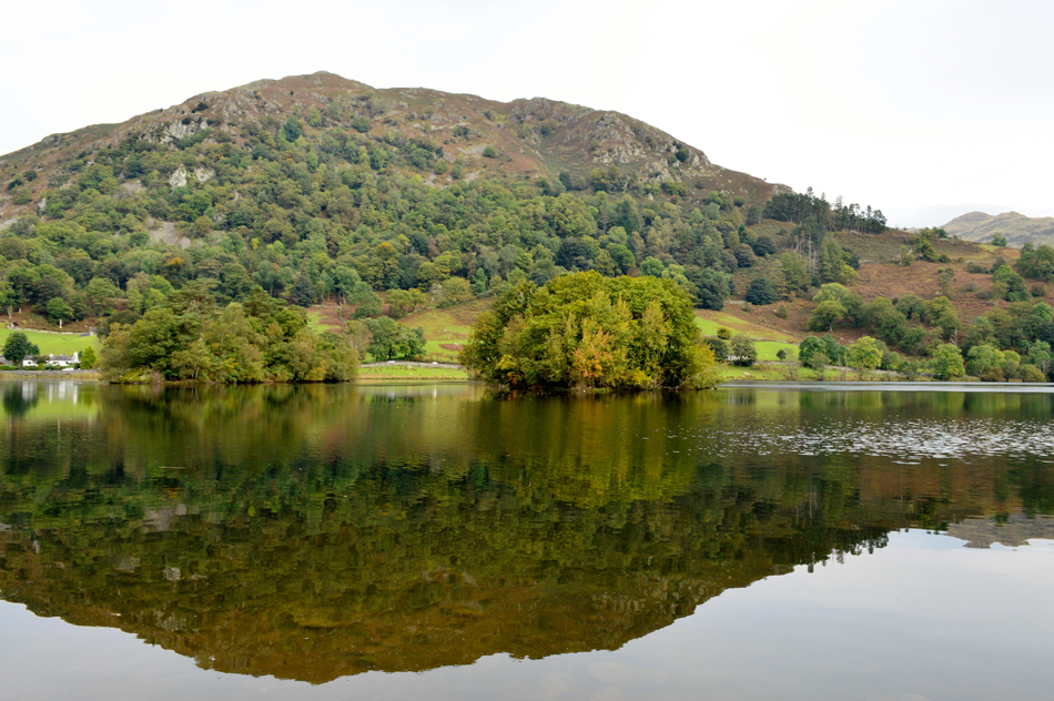
| Little Isle, Rydal Water. |
| |
 |
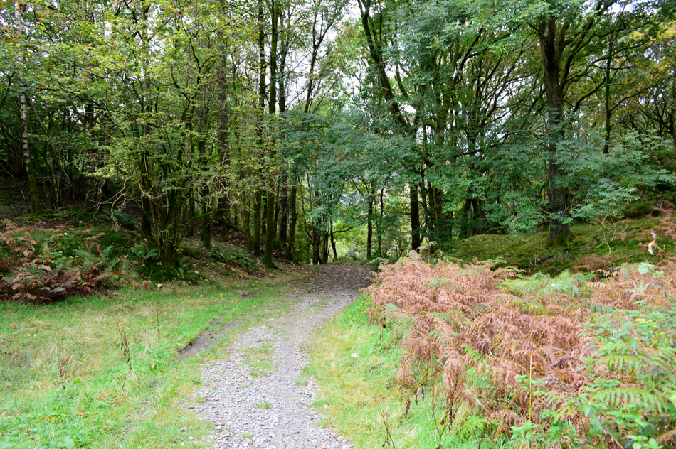
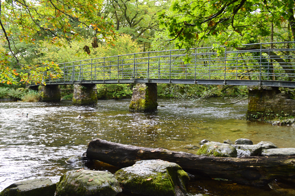
| Steps End. |
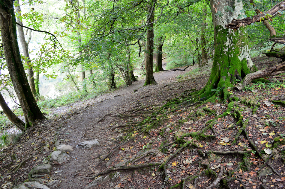
| From Loughrigg Cave I descend through retreating bracken onto the lake path feeling pleased at what a great, out of the ordinary walk that I had. All that was left was to make my way back to Rydal Church via the new footbridge over the River Rothay that had been damaged during the storms of December 2015 but before that, a short walk through woodland. |
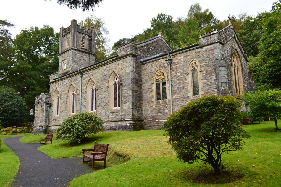 |
| Rydal Church. |
| |
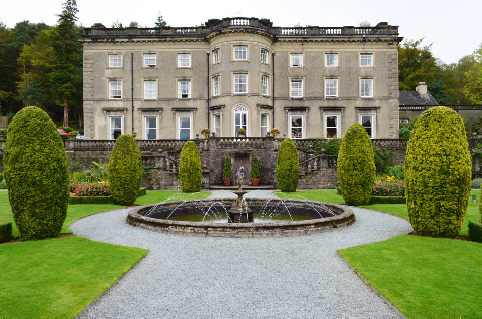 |
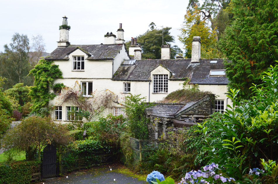
| Rydal Hall. |
| A short tour of the grounds around Rydal Hall. |
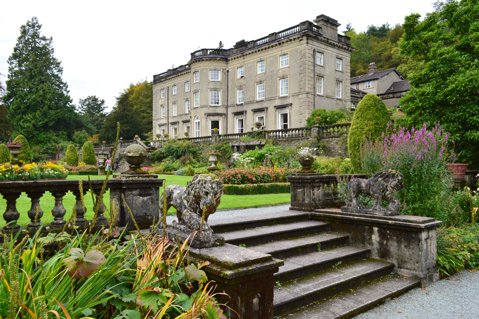 |
| Rydal Hall. |
| With my walk almost over I take my time taking in the fantastic surroundings around Rydal Hall before making my way back to Rydal Church but first I have to pass through a metal gate which opens out onto the road next to the Church and just as I'm about to slide the metal latch open pn the gate I hear the heavy panting of a fell runner approach, I wait and hold the gate, it's only the fellow from Nab Scar earlier, happen he's just completed a round of the Fairfield horseshoe. |
|
| |
| Back to top |
 |
|