A Riggindale Round

26th August 2017

I wasn't meant to be on the fells until Bank Holiday Monday so much so I was forced to turn down another invitation from David and Rod to join them on a walk on the Ulldale Fells before my non walking plans fell through at the very last minute which meant I had a green light to walk but unfortunately It would have been too late to meet up with David and Rod.

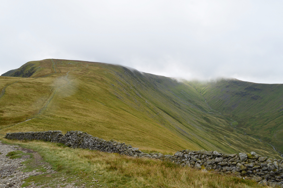
After a quick check of the forecast it appeared that the east, and far east of the park would escape any lingering showers but more importantly the low morning cloud which has continued to be a nuisance across the Lakeland fells this last week will of hopefully cleared by the time I arrived.

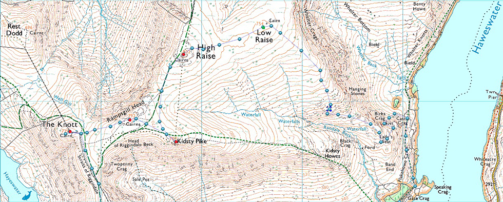
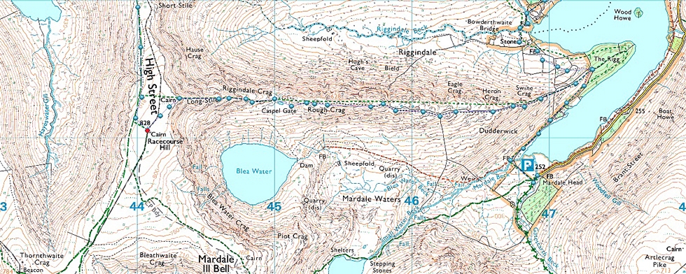
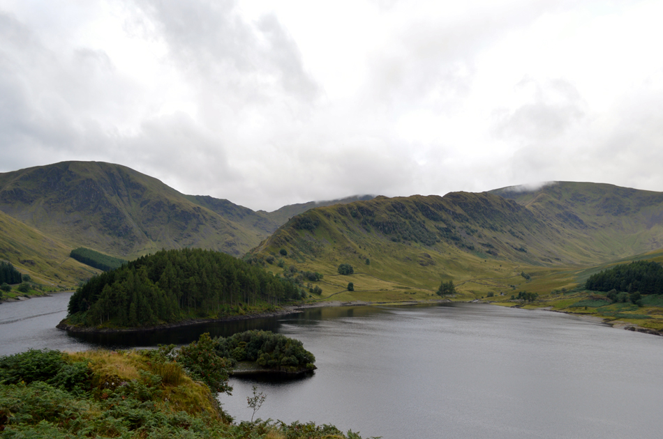
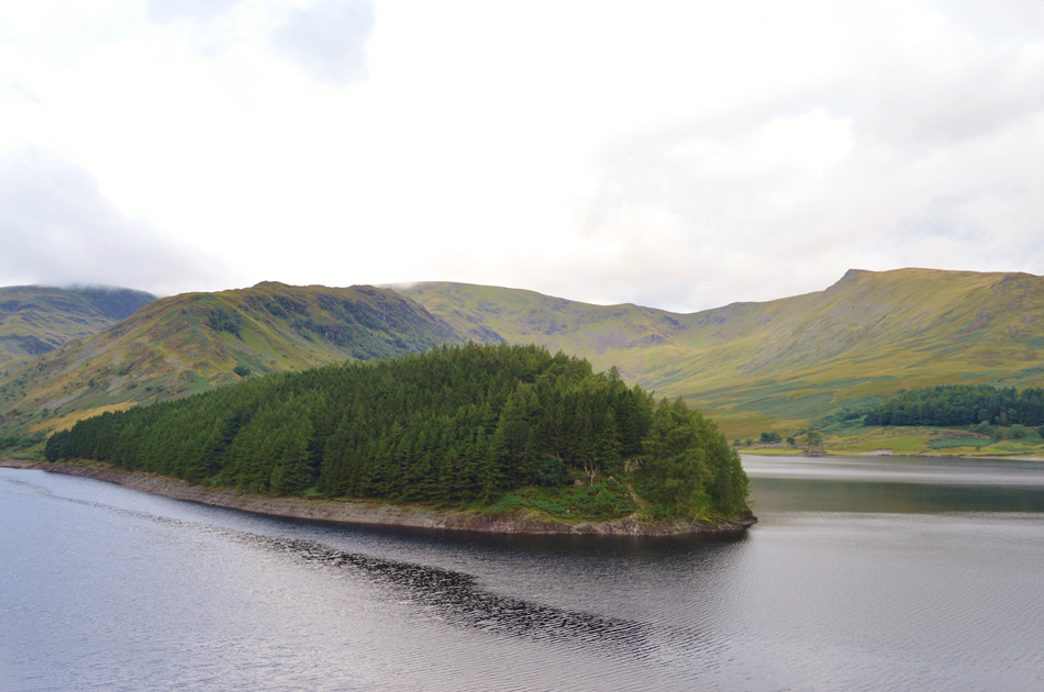
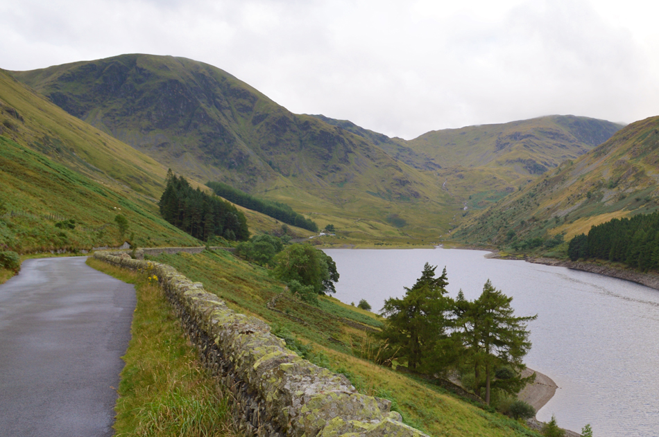
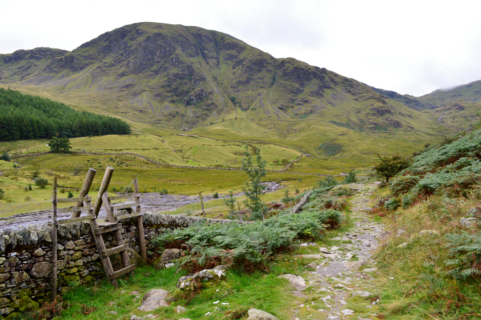
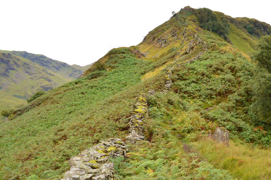
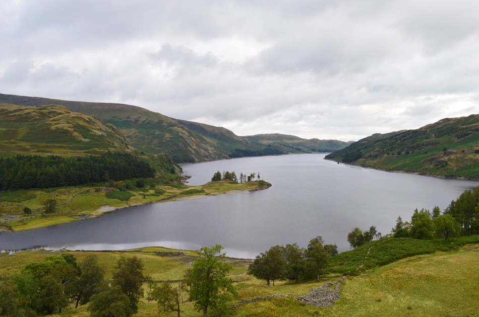
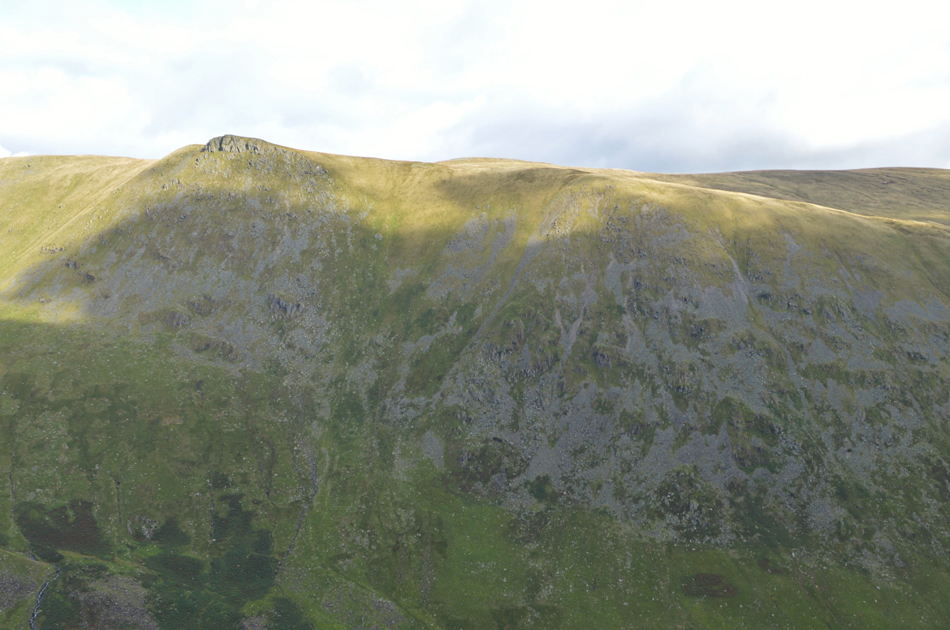
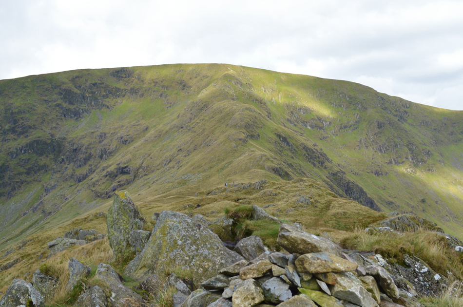
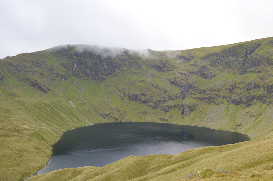
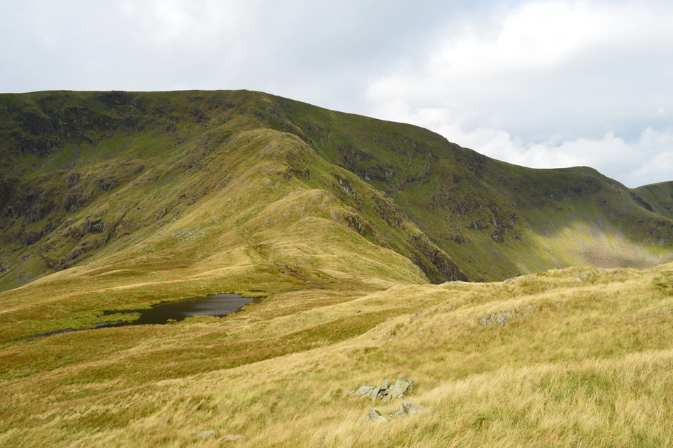
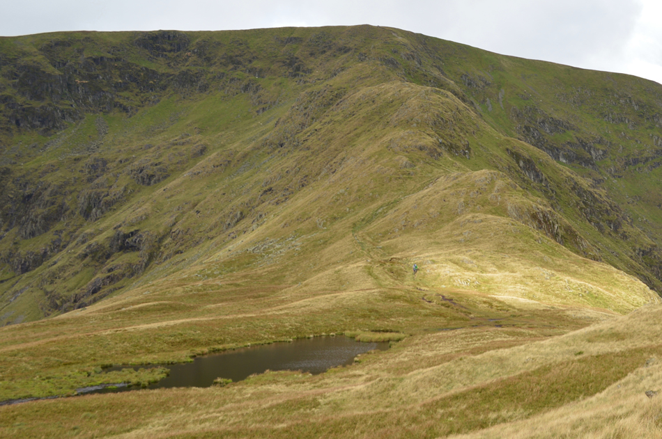
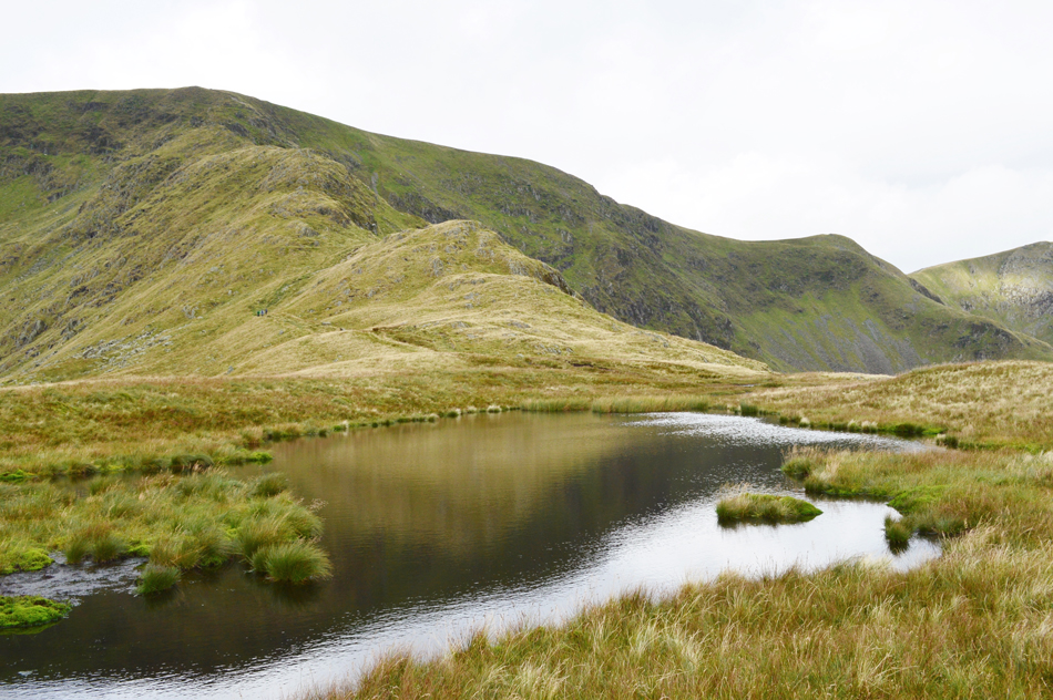
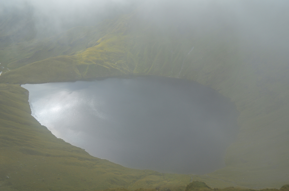
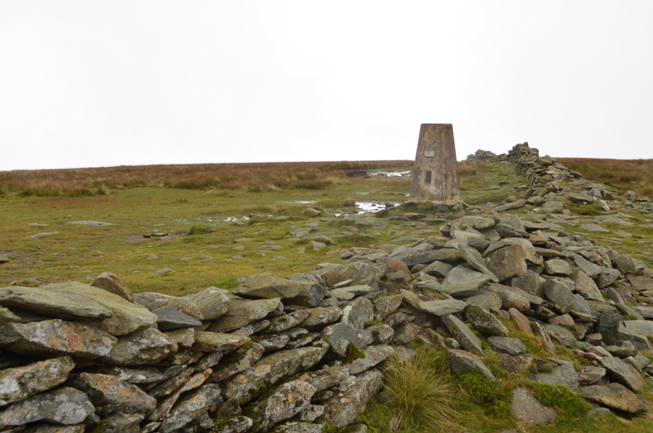
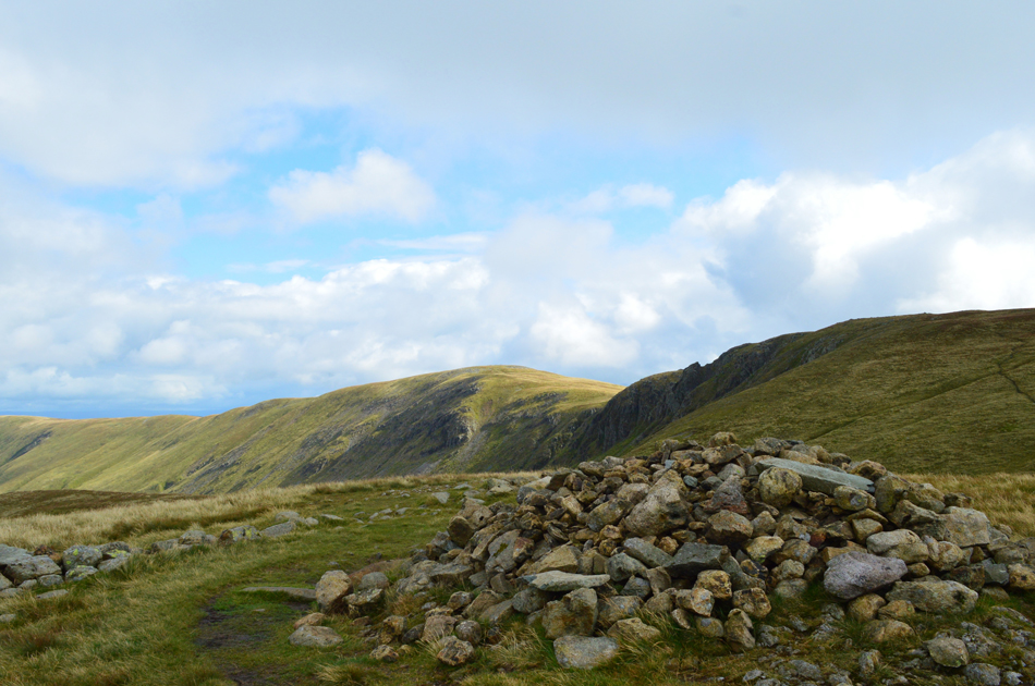
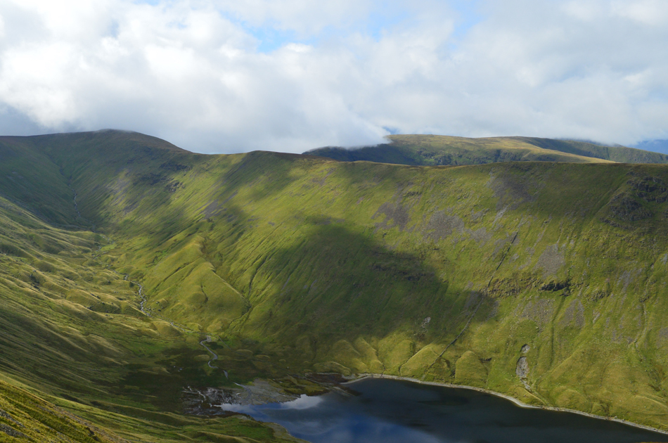
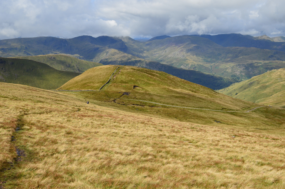
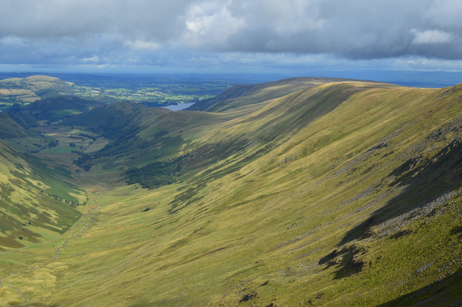
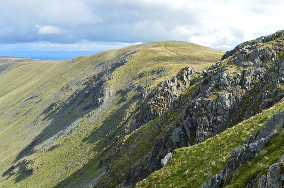
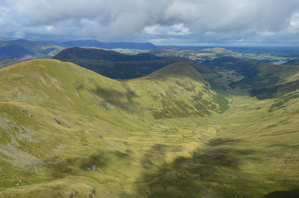
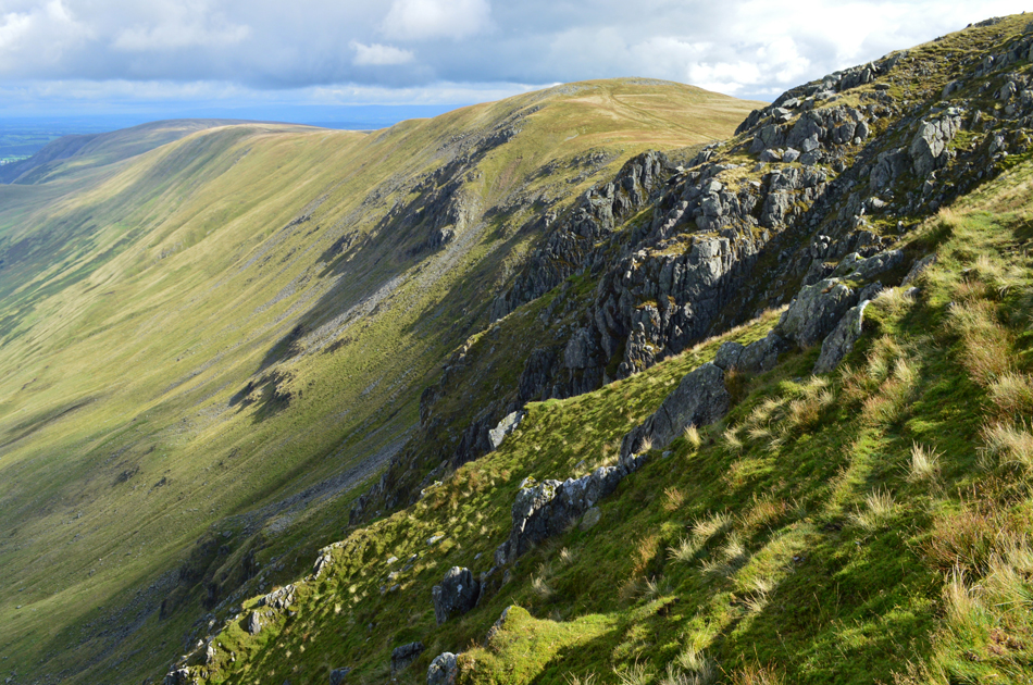
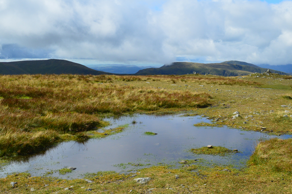
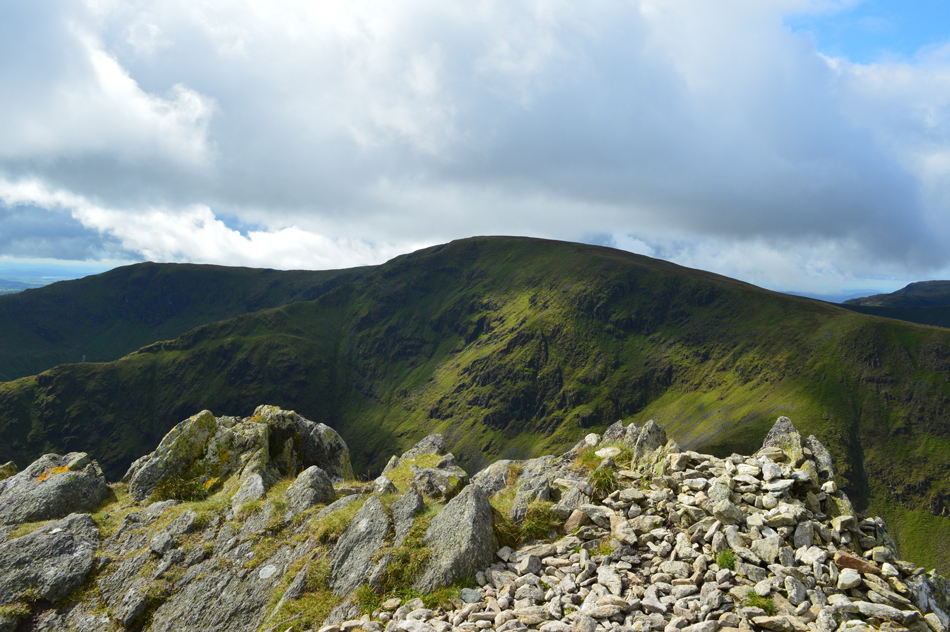
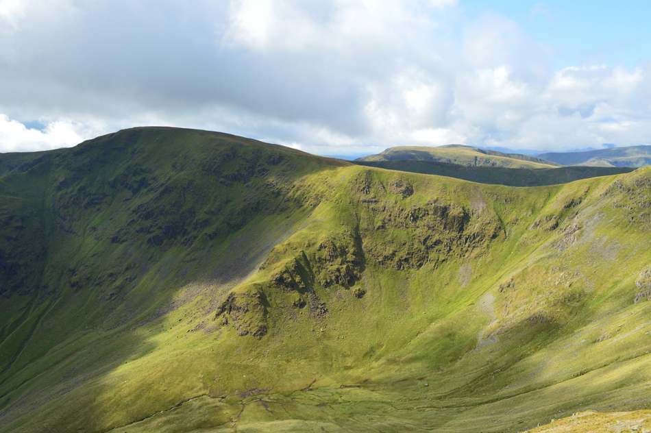
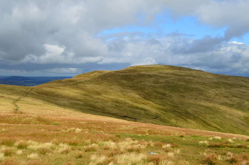
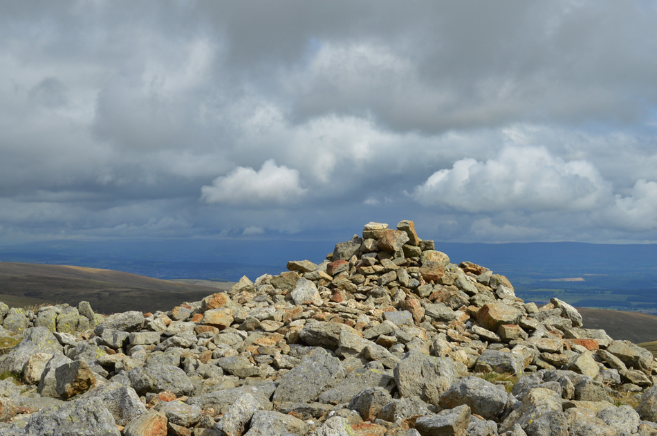
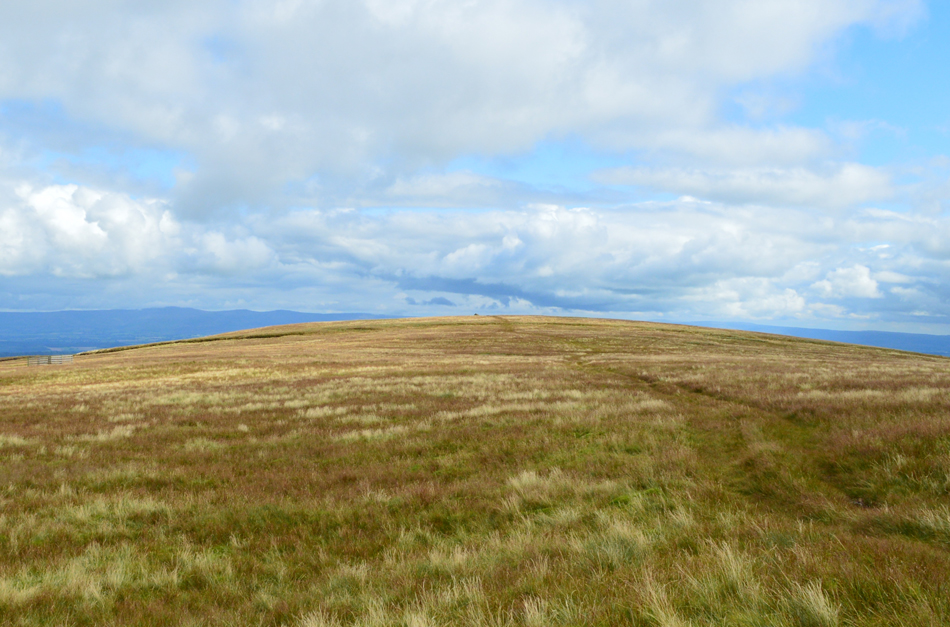
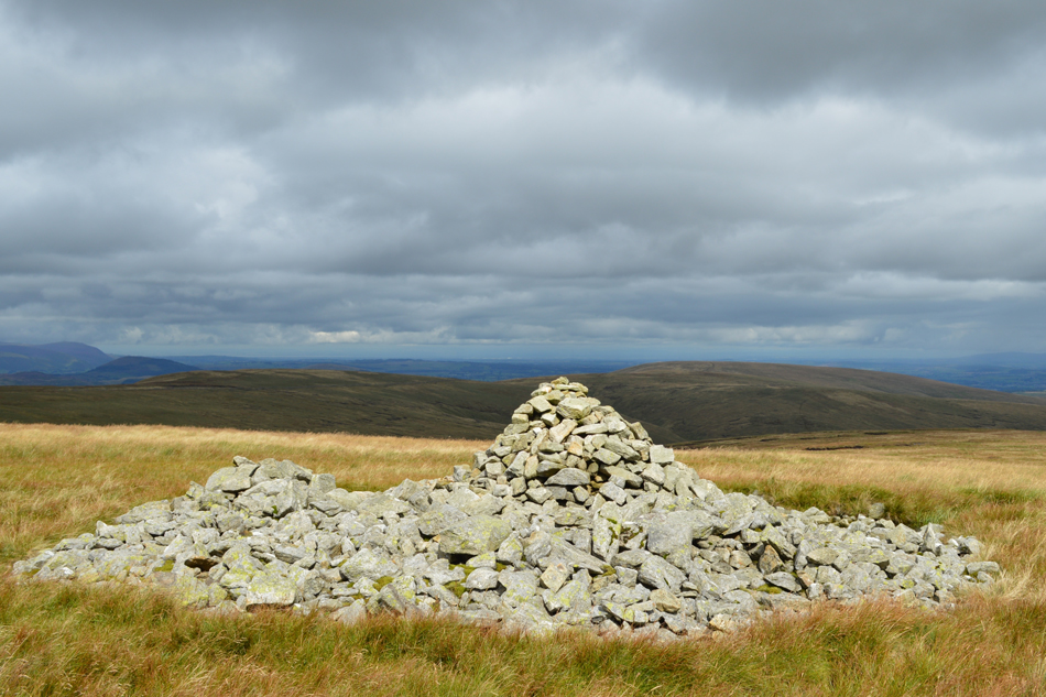
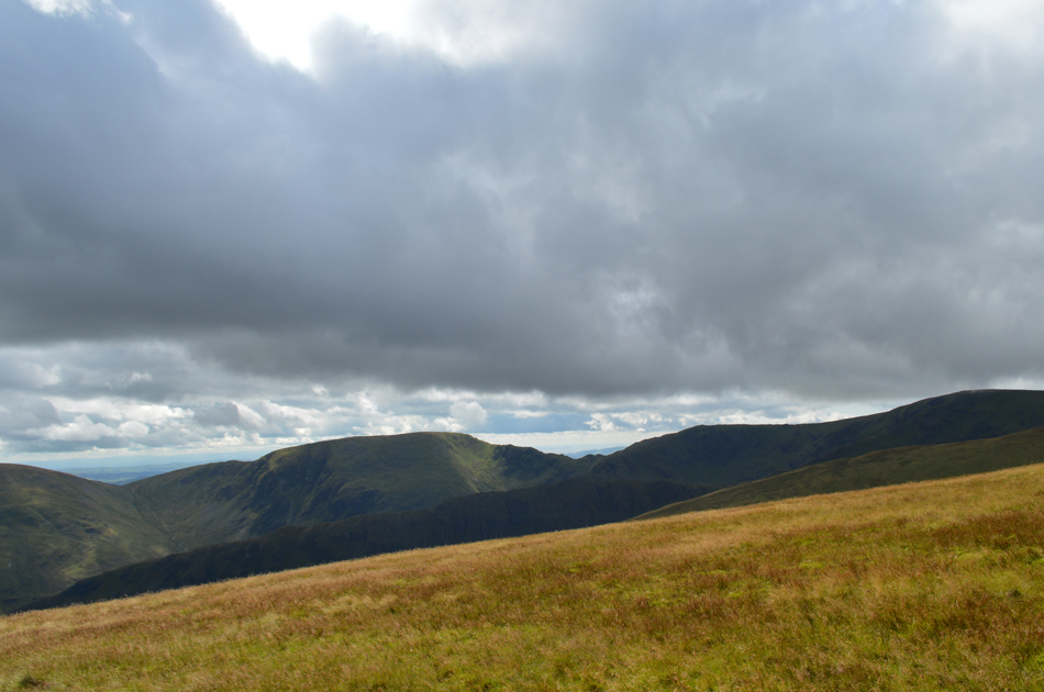
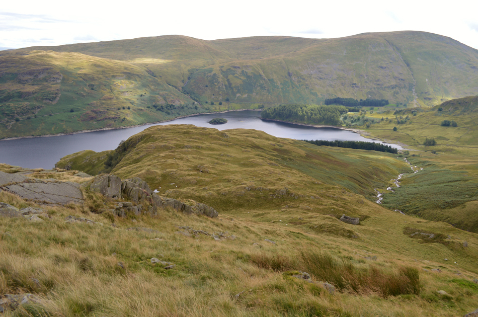
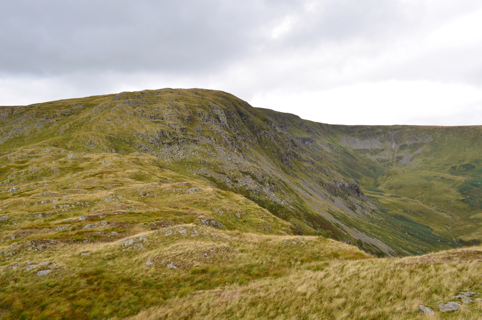
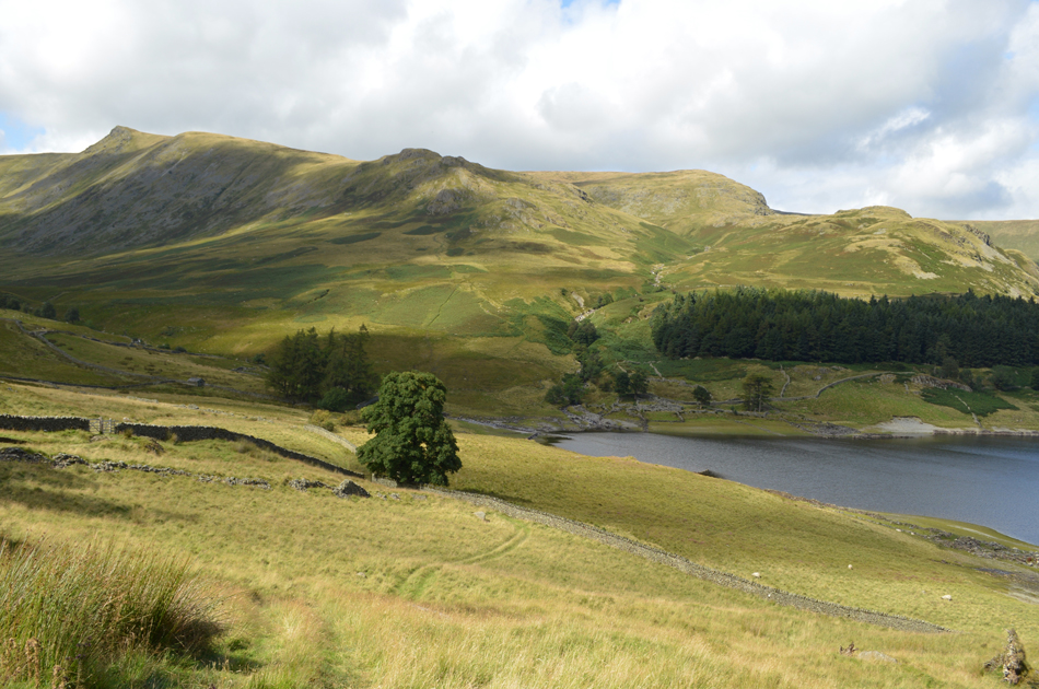
Why High Street? Well, I even asked myself this question because being the owner of a website delivering the fells is what I do but to deliver the same fell almost once a month can appear like I've lost the plot or simply ran out of ideas which I can assure you isn't the case, todays walk route was made up as I went along on some much favoured and loved ground, it just so happened that with the little time I had to plan where to walk High Street and its satellite summits never proves to disappoint and that was good enough for me.

I hope that makes some kind of sense.

 
Wainwright Guide Book Two
The Far Eastern Fells

-Kidsty Pike

Travellers on the road to Shap, looking west to the long undulating skyline of the High Street range, will find thier attention focussing on the most prominent feature there, the sharp peak of Kidsty Pike.


Overview
Ascent: 2,770 Feet - 844 Metres
Wainwrights: 5, High Street - The Knott - Rampsgill Head - Kidsty Pike - High Raise (Martindale)
Weather: Overcast To Start Turning Brighter. Highs of 18°C Lows of 13°C
Parking: Car Park, Mardale Head
Area: Far Eastern
Miles: 10.6
Walking With: On My Own
Ordnance Survey: OL5
Time Taken: 5 Hours 40 Minutes
Route: Mardale Head - The Rigg - Rough Crag - Caspel Gate - Long Stile - High Street - Straights of Riggindale - The Knott - Rampsgill Head - Kidsty Pike - High Raise (Martindale) - Low Raise - Castle Crag (Fort) - Randale Beck - Riggindale Beck - The Rigg - Mardale Head
 

Map and Photo Gallery


The remains of Shap Abbey.
From the M6 it was clear that the High Street Fells hadn't completely cleared of cloud and despite the worry of finding it difficult to park I headed out to nearby Shap Abbey to allow any lingering cloud to clear.

Shap Abbey West Tower.
Shap Abbey was built in 1199 and was the last Abbey to be founded in England, and the last to be dissolved by Henry VIII in 1540. Stone was taken from the Abbey at the end of the 17th Century to build Shap Market Hall. Much of the carved stonework was also removed and used in the building of Lowther Castle.

Shap Abbey West Tower.
 

Harter Fell (Mardale) The Rigg, The Rough Crag ridge and High Street seen over Haweswater.
Present conditions certainly didn't match the forecast but at least the low cloud had cleared and most importantly the showers had passed. The sight of The Rigg and the Rough Crag ridge never fails to impress and this morning, despite the dreariness was no different.

Looking over The Rigg into the heart of Riggindale.
As ever I am unable to drive past this view of The Rigg and the Riggindale Valley without pulling my car over and taking a few snaps.

Mardale Head from Mardale (new) Road.
The original Mardale Road now beneath the waves of the Reservoir.

Looking back on Mardale Head and Harter Fell (Mardale) 13°C 09:40am

It appeared that the forecast had put most off possibly until later in the day when things were set to brighten and because of this I was still able to park relatively easily forward facing towards the Reservoir. It would have been much easier to park had it not been for the two huge Motorhomes which had taken up residence over night both of which were taking up to three car parking spaces each which was slightly annoying to see, yes there's two sides to every story and happen when they had parked up last night the car park was empty but still, a little sensitivity to others wouldn't have gone a miss.

Despite the lack of sunshine the air is incredibly mild and I kit up accordingly in standard Summer attire although my sunglasses will have to be packed away until later. The sound of Gatescarth Beck is filling my ears as I walk through the new deer gate at the head of the car park which was where I guess in those few short moments I decide to head towards The Rigg at a point when I still hadn't confirmed my route and hadn't ruled out an ascent by either Small Water or the Gatesarth Pass.

This view of Harter Fell always leaves me with aspirations of wanting to gain the summit via the north ridge which from Mardale Head appears as a fantastic ridge route but when viewed from the top of Nan Bield Pass the ridge appears as a flat expanse of steep and rough ground, still, one day I think I'll take in the ridge if only to tick it off my ever increasing 'to do list'


Ascent on Swine Crag.

I wouldn't always gain ascent on Swine Crag from The Rigg but the bracken was so thick (even though it's now in retreat) I thought twice about using the 'shorter' much steeper route from the lake path and instead made my way towards The Rigg where I found a young family also about to make their own ascent 'mornings' are shared as a trio of walkers disappear out of view up further up ahead.

I guess I'm not used to seeing so many people out but I had to remember that I set off much later than usual.


Haweswater from the ascent of Swine Crag.
With Speaking Crag in the foreground.

Highlights of sunshine over Kidsty Pike.

i continued to gain the ridge under overcast skies yet my view further east always appeared brighter as demonstrated here with highlights of sunshine over Kidsty Pike and even further eastwards towards the Pennines where there wasn't a cloud in the sky.

Oh well never mind.


Long Stile and High Street from Rough Crag summit.
Up ahead the trio of walkers had gained Rough Crag who by now are making their way towards the base of Long Stile, the gap will almost certainly widen now as I head down towards Caspel Gate which is name given to the ridge between Rough Crag and Long Stile.

Blea Water.
Well, I thought I'd seen the last of any low cloud but over the last twenty minutes or so I can see huge columns heading from direction of the Kentmere valley which has already engulfed Harter Fell behind me and is about to spill into the Blea Water Corrie.

Long Stile and Short Stile from Caspel Gate.


Long Stile, Short Stile and Kidsty Pike from Caspelgate Tarn.
The tarn is affectionately known as Caspelgate Tarn but is actually un-named on any Ordnance Survey maps, either way it's such a beautiful spot and one I have always admired.

Climbing into the cloud while looking down on Blea Water from Long Stile.

The ascent of Long Stile was done with precaution as the rock was very greasy and wet underfoot meaning many footings had to be trusted first. It was here I caught up with the trio of walkers who turned out to be a father with his two young sons, we spoke briefly as they hoped that the cloud would clear by the time the summit was reached "me too" I replied before cursing matters adding "well at least it's dry"

The father and his sons continued to follow me before their voices faded behind me right about the time it started to rain D'oh!


High Street summit.

The rain continued to fall and by the time I reached the summit I de-shouldered and added waterproofs and placed my camera into its case. With my back to the rain I found myself a dry boulder and plonked my backside down hoping to sit the shower out.

After around five minutes I realised I was just getting wetter and wetter and with this I started to feel the cold clinch my ears and hands, sod this I thowt better be on the move than sitting this one out. The father and his son's were doing the same behind me and were in good spirits "Spoke too soon I laughed" aye he smiled back. I left the summit and stuck out towards the Straights of Riggindale, this time opting to use the path on the Hayeswater Gill side rather the two paths either side of the summit wall.


The Knott seen beyond the Straights of Riggindale.

Slowly but surely the rain eased and unbeknown to me the summit cloud behind me started to lift. Further west I was entertained by my view of wall to wall sunshine over Place Fell which lasted for the duration of my descent and the crossing over the Straights of Riggindale which I hoped was heading this way.

Seeing sunshine just a mile way isn't uncommon on the Lake District fells while being buffered and pelted with rain!


The view back towards High Street with Thornthwaite Crag summit still below cloud.

Wont be for too long and within minutes the cloud will have completely lifted.


Rampsgill Head from The Knott summit.
With the showers clearing I made my way across the Straights of Riggindale and towards The Knott summit passing two male walkers where 'mornings' are shared. By the time I reached The Knott the grey overhead had made way for blue skies and cloud in almost every direction had started to lift from my surrounding summits.

The view over Hayeswater Gill towards Gray Crag, Thornthwaite Crag and Caudale Moor (Stony Cove Pike)
Anyone on the Gray Crag (right) right about now are in for a great treat.

Looking back towards The Knott as I head for Rampsgill Head.
The Knott must be the loneliest Lakeland fell in the District with hardly anyone ever taking the short de-tour to gain its summit, well that's my experience anyway.

The view into Ramps Gill towards Red Crag, Steel Fell and Wether Hill.
It was around about here I left the path and made my way towards the upper reaches of the valley head to take a closer look at the rock Pinnacle below Rampsgill Head summit.

High Raise from Rampsgill Head North West Face.
A prominent vertical buttress of sound 'clean' rock, not of great height perhaps worth carrying a rope up from Patterdale or Hartsop. A.W

The view over Ramps Gill towards Rest Dodd and The Nab.
With Beda Fell and Place Fell now in shadow.

High Raise and Red Crag from Rampsgill Head North West Face.
 

Rampsgill Head summit.
From the valley head it was just a simple case of picking my way back towards the summit cairn seen in the left of the photograph. From here it's just a short distance eastwards towards Kidsty Pike which is where I'm heading next.

Mardale III Bell from Kidsty Pike summit.

With Kidsty Pike summit easily reached the two walkers who I had seen while on route to The Knott were just behind me, as it turns out they were walking the Coast to Coast having left Patterdale bound for Shap, they mentioned they were about a day ahead of schedule and were looking forward to relaxing once Shap was reached although one of the chaps did mention his sore knee which he had seen his doctor about about before the trip "you've never been 53 before have you" was his Doctors classic reply.

We shook hands before they headed off along Kidstys east ridge bound for Haweswater and eventually Shap.


High Street, Short Stile and Caudale Moor (Stony Cove Pike) from Kidsty Pike summit.
 

High Raise (Martindale) from Kidsty Pike.
Before I strike out for High Raise there was no better time than the present to lose a layer and to top that off by adding my sunglasses.

High Raise (Martindale) summit cairn.
The crossing between Kidsty Pike and High Raise went as pleasantly as expected despite the swollen ground underfoot with a warm Summer sun overhead I could have called lunch here but instead I opted to wait until I would reach the next summit of Low Raise which is a much quieter area due to its the off the beaten track location.

On route to Low Raise.
As the summit cairn appears on the horizon.

Red Crag and Wether Hill from the Low Raise ancient stone cairn.
The summit of Low Raise would have been made up of an ancient stone mound which has since be turned into a cairn and shelter, it's quite a damp area as pockets of water pool up with the shelter but this didn't stop me overstaying my lunch break whilst listening to the wind whistle through the wild grasses, what a fantastic place.

Views over the Rough Crag ridge towards Harter Fell (Martindale) and Mardale III Bell.
 

The view down Low Raise South East ridge towards Castle Crag (Fort) Haweswater, The Rigg, Selside Pike and Branstree.

From Low Raise summit I abruptly head south eastwards and descend by following a faint grassy trod avoiding the bogs when I could. This meant leaving the path at times and picking it up again sometime later. At what appears to be the end of the ridge a steep descent is required which is best descended by using a steep grassy rake towards the right, or simply aim for the two ruined sheepfolds seen in the photograph.

The ground can be rough underfoot meaning it's always best when off path to look a few steps ahead as it's quite easy to twist an ankle due to how uneven and steep the ground is.


View back up the ridge with Whelter Crags and Whelter Bottom seen over on the right.
 

Haweswater from the descent of Castle Crag (Fort)

Having ascended the rocky outcrop of Castle Crag the skies darkened quite dramatically and it started to rain which thankfully didn't last but the rain fell hard enough for me to pack my camera away and I completely forgot to take a picture from the summit, it was still warm and no sooner than I knew it the shower had passed by which time I had started the steep descent which overlooked a familiar stone wall which surrounded a coppice of trees. The path narrowed and was very steep in descent but it wasn't this that was causing me the problem, it was the almost shoulder height bracken.

I fought through the bracken but had to admit defeat and retraced my steps back to the coppice of trees before fighting my way again through more bracken which spat me out at the wall in the very left of this photo.


Looking back up at Castle Crag (Fort) from the Haweswater shore path.
 

Branstree and Selside Pike seen over The Rigg as I head below Flakehowe Crags towards Randale Beck.
The afternoon is turning out to feel like a proper Summers day again now.

The view back into Riggindale, towards Kidsty Howes, Kidsty Pike and Low Raise South East Ridge.
 

Mardale Head and Harter Fell (Mardale) seen over a glistening Haweswater.

It's been a while since I had to wipe the sweat from my forehead but that's exactly what I had to do whilst walking back to Mardale Head under the heat of an afternoon sun. More walkers are passed on route to The Rigg as I cross the footbridge over Mardale Beck which brings me back into reality at a bustling Mardale Head carpark, one of two Motorhomes still remained and cars are parked back up Mardale Road for as far as the eye can see but I guess that doesn't matter knowing what a great day on the fells I'd had.

Before setting off I let all the heat out of the car and despite how busy the car park is it's still pretty quiet with the sound of chatter in the distance and the odd clang of a gate latch being closed which I guess was where todays walk ended.


Back to top