Walking the Outlying Fells, Seat Robert from Swindale

30th April 2017

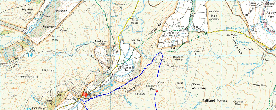
Despite having a fondness for the far eastern fringe of the Lake District and in particular the rolling countryside of the Swindale and Shap fells it's been quite sometime since my last visit and today I aim to put an end to that.

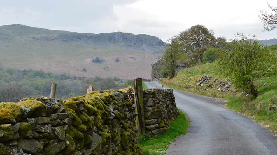
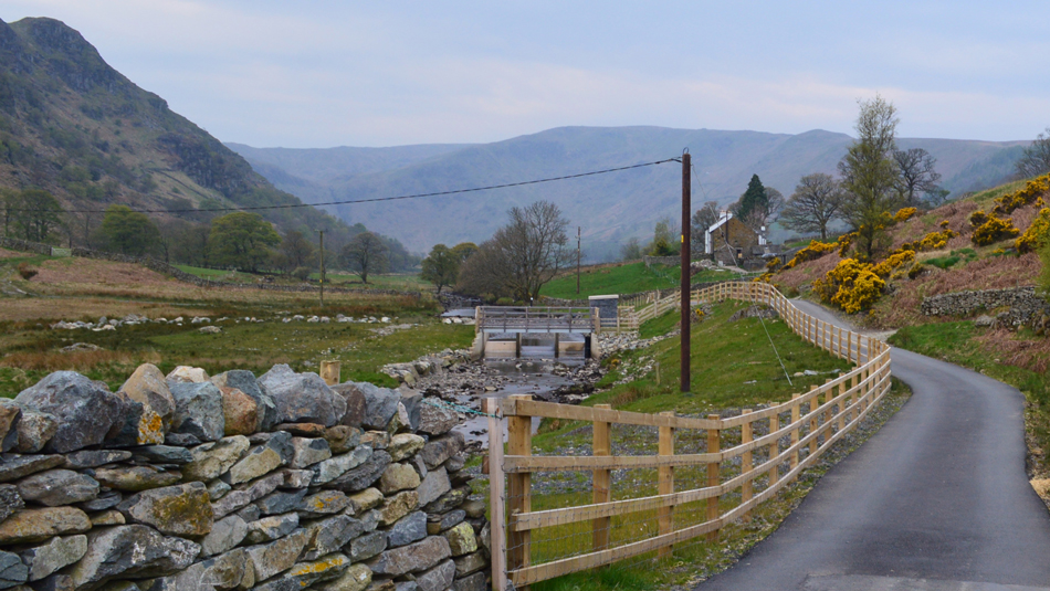
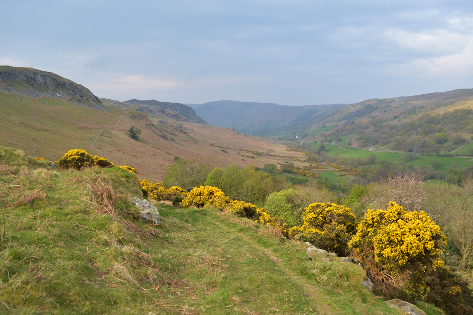
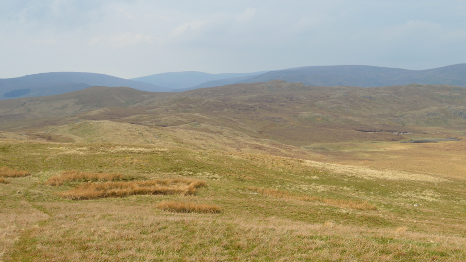
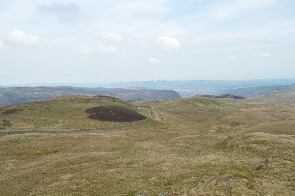
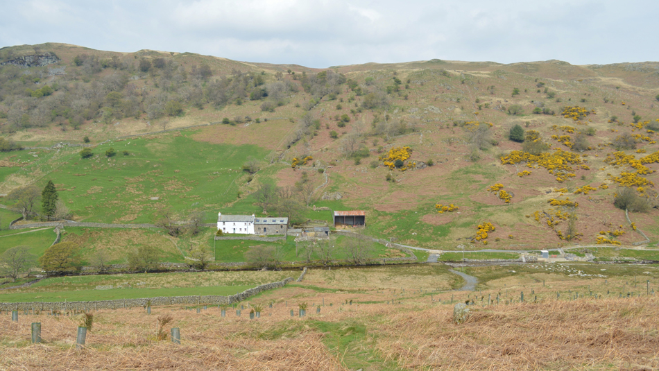
Todays walk takes in the fells surrounding the Swindale valley, a valley in the heart of the far east of Lakeland which hasn't changed over the last two hundred years with the exception of the new hydro-dam which I must admit, doesn't quite blend in the way it should. It's narrow stone walled lanes are the makeup of the valley which serves access to Swindale Foot and Swindale Head Farm not forgetting the Corpse Road which was once used to carry coffins from Mardale in the adjoining valley to Shap, it's fair to say that Swindale hasn't changed much even if the world around it has.

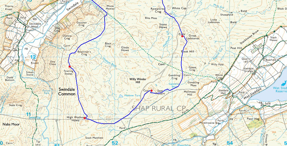
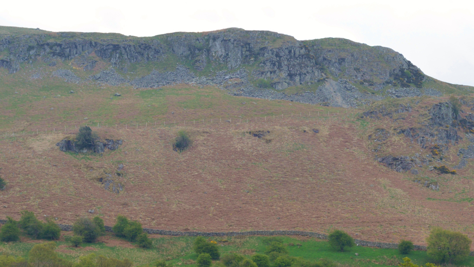
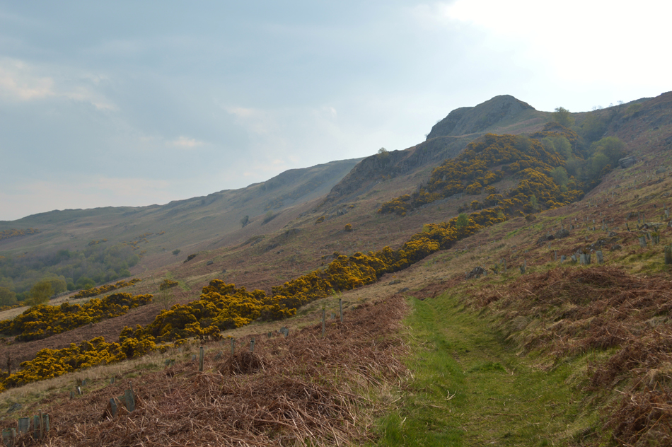
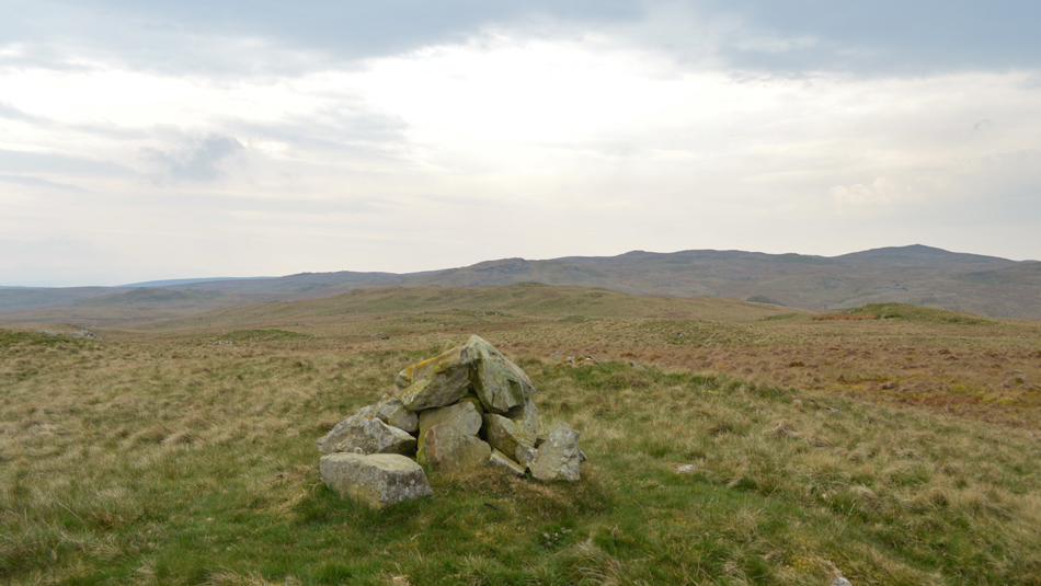
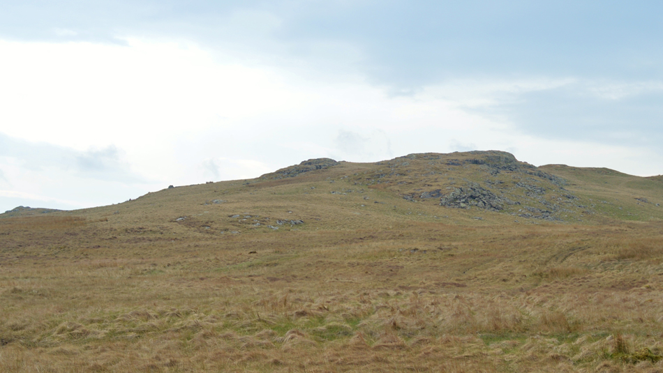
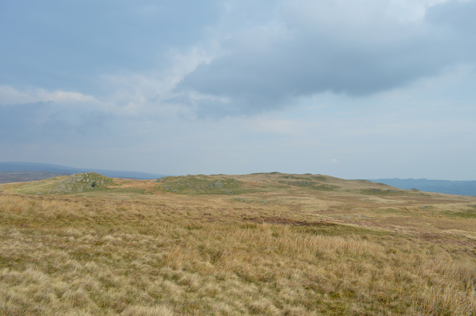
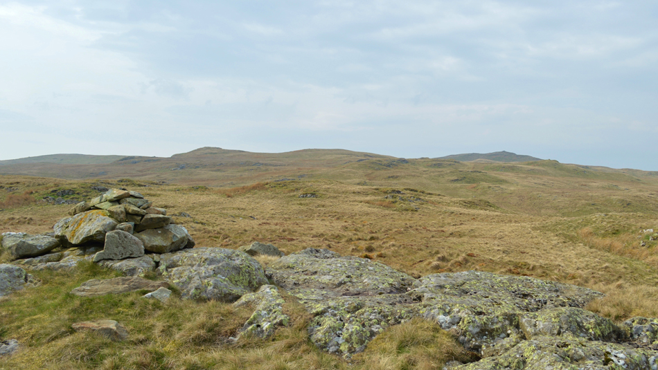
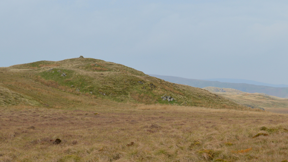
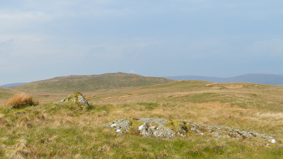
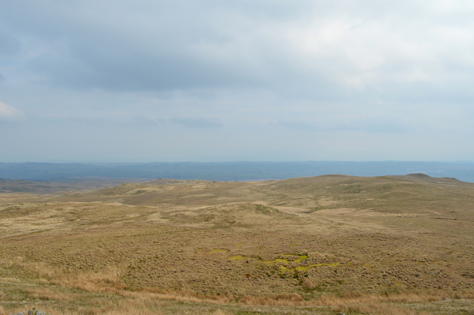
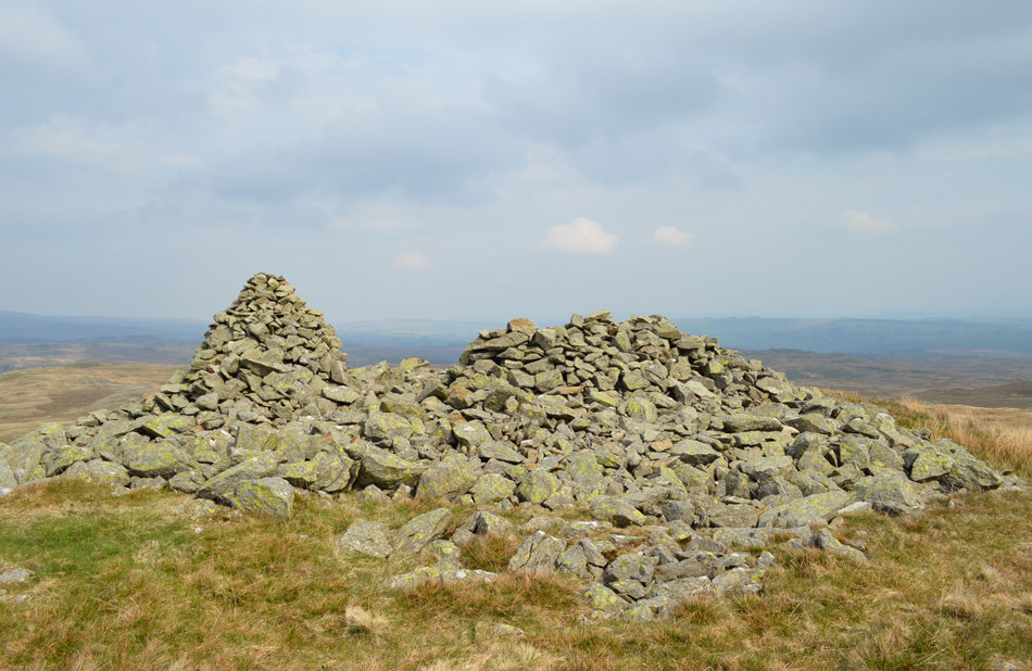
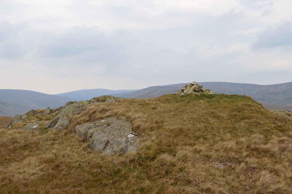
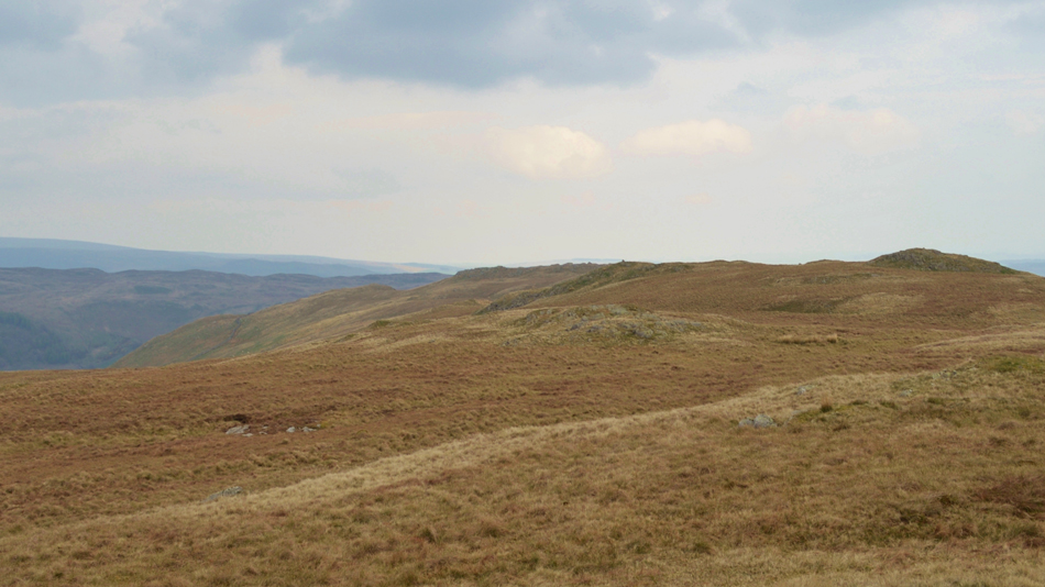
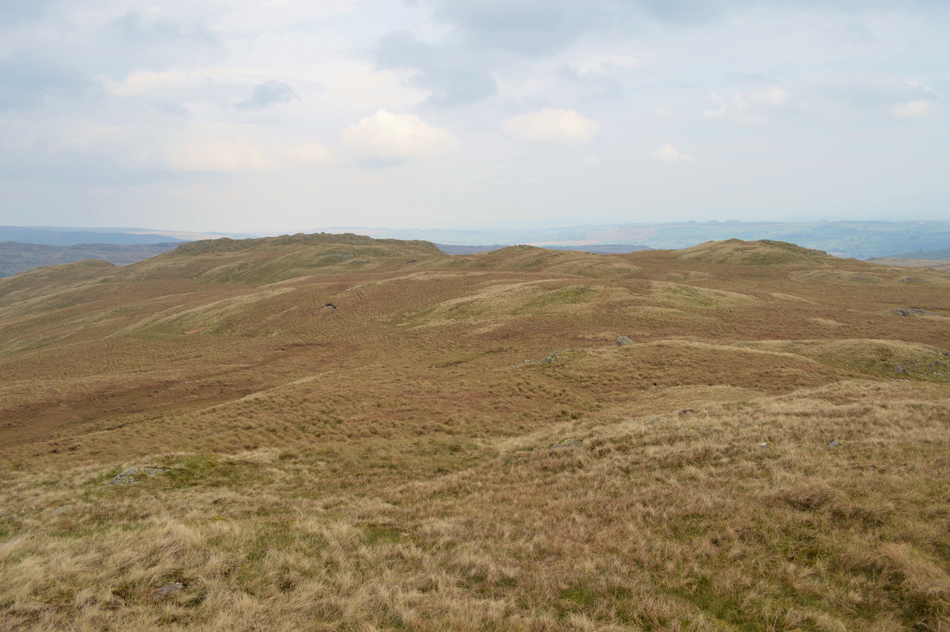
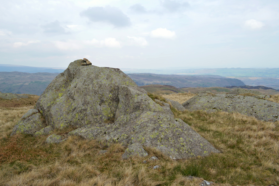
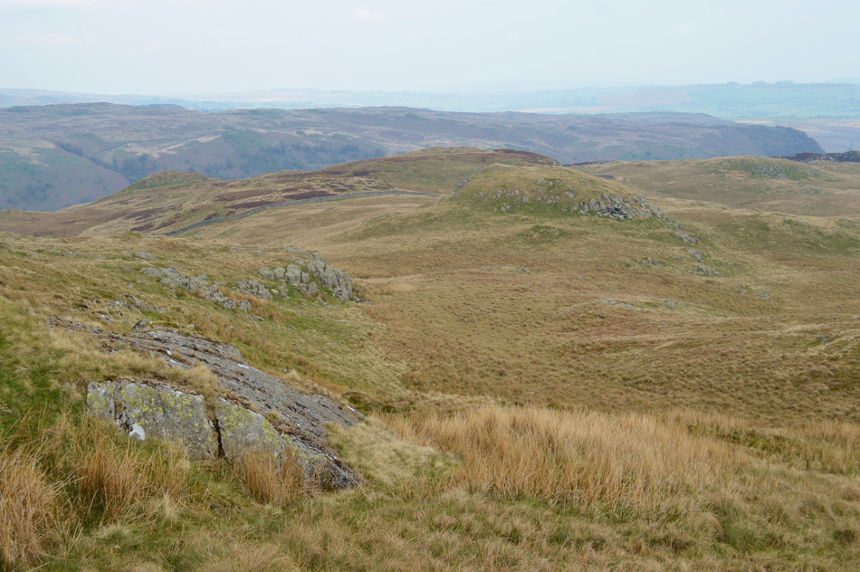
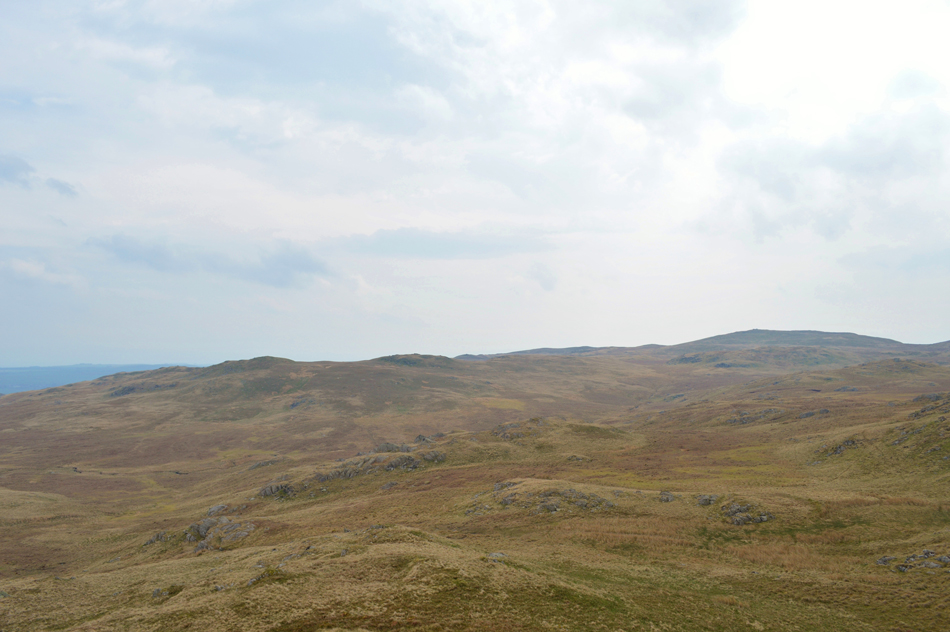
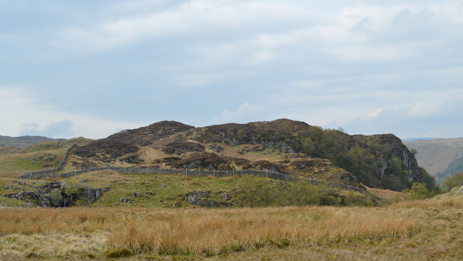
The first of todays walks takes in the Outlying Fells east of the Swindale Valley from the new dam before a gentle rise along the Corpse Road towards Shap taking in the cliffs and crags of Langhowe Pike then steering south west gaining Langhowe Pike summit by its long grassy ridge. The geography of the area can prove difficult to navigate between summits and with only the faintest of paths underfoot having a head for the lay of the land, and not to mention defining heights between outcrop and summit can serve as a advantage.

It was a typical April day in Swindale this morning with the temperature not rising much into double figures with a strong tailwind to boot, the perfect setting to walk aimlessly by.

 
Wainwright Guide Book
The Outlying Fells

-Sear Robert

Seat Robert is one of those out-of-the-way summits that all addicted fellwakers notice from time to time in their study of maps of Lakeland and vow to visit someday. But few do.


Overview
Ascent: 1,100 Feet - 335 Metres
Outlying Fells: Seat Robert
Visiting: Langhowe Pike - Great Ladstones - High Wetner Howe - Fewling Stones - Beastman's Crag
Weather: Overcast To Start Turning Brighter Towards Midday, Hazy With Gusts Across The Summits. Highs of 15°C Lows of 7°C
Parking: Roadside Parking, Swindale
Area: Far Eastern
Miles: 6.5
Walking With: On My Own
Ordnance Survey: OL5
Time Taken: 3 Hours 10 Minutes
Route: Truss Gap, Swindale - Corpse Road - Langhowe Pike - Rowantree Crag - Great Ladstones - Gambling Crag - Seat Robert - High Wether Howe - Fewling Stones - Beastmans Crag - Gouthercrag Gill - Truss Gap, Swindale
 

Map and Photo Gallery


Roadside Parking close to the Filter House, Swindale 08:30am 7°C

One of the main features in todays walk was the wind which was also felt back at home in Wigan while loading up my car. Although it was still mild the wind was strong enough to bend the tree tops and by my reckoning once higher it's going to be with me for the best part of both of todays walks, I wasn't wrong. Parking was easy having arrived around 08:20am after passing through the hamlet of Rosgill before heading towards the valley via the narrow tarmac lane where I arrived in Lower Swindale close to the Filter House which blends into the valley looking like a large cottage with white washed walls.

There was only one other car parked up so I chose to park at the opposite end of the parking spaces if only to make my exit easier on return, next to the off road parking there is also a large grass verge which acts as an over-spill as parking in itself is strictly prohibited in the valley meaning everyone who visits Swindale must walk into the valley by foot unlike when Wainwright wrote his Guidebook on the Outlying Fells where he had permission from the local farmers to park at Swindale Foot, or Swindale Head Farms. For me any walk in the Swindale Valley starts here and I always enjoy the walk into the valley while soaking up the peacefulness and isolation the valley provides which was only disturbed this morning by the tweet of a bird or the bleating of new born Lambs.


Heading towards Swindale Foot Farm with views of Gouther Crag up ahead.
Todays walk will see me on the ridge on the opposite side of the valley, strangely enough I won't be paying a visit to Gouther Crag but I will be within an arms length of its summit towards the end of the walk but first I'm making my way towards Truss Gap where todays walk officially starts. It's at Truss Gap where this route actually starts although back when Wainwright walked this route he may have walked from as far a-field as Shap to reach the valley given that Wainwright travelled everywhere by bus due to not being able to drive.

That's Gouther Crag on the other side of the valley.
After crossing Swindale Beck I will follow the stone wall back out of the valley before gaining the ridge.

Mmm...

I'm sure once the new fence has weathered along with the new concrete dam but it will soon 'settle' into valley yet for now, it all looks too new and is of large contrast to the old ruined walls and buildings which surrounds the area.

That's the new footbridge and a sturdy one it is too in the foreground, alternatively if you miss or fancy a little dip you can cross the beck by a series of stepping stones found just a few yards up stream from the new bridge.


Passing below Trussgap Brow and Swear Gill.
After crossing Swindale Beck via the new footbridge I start to walk out of the valley along the Corpse Road which rises gently all the way towards the far end of the ridge and eventually Keld, here the low light and hazy conditions make any picture taking problematic but the Gorse and flora of the fell side makes up for this, especiallly when the sunlight breaks through.

Looking back into the Swindale Valley from the Corpse Road.
Time to head onto the Langhowe Pike ridge now as I leave the Corpse Road for Langhowe Pike.

Great Ladstones, Gambling Crag and Seat Robert from Langhowe Pike summit.

From the Corpse Road I head south west taking in the grassy ridge passing two Sheepfolds on the back of a large craggy outcrop from where the summit of Langhowe Pike is not seen as the ridge ahead obscures it from view until the last two hundred yards or so before the summit arrives after a steady rise.

It was also whilst at the summit did it start to cloud over leaving low light for the duration of the walk. It may not be an area for grand photography especially when the sun isn't shining but if you love places like this as I do there isn't any real need to bring a camera at all.

For now it's just me and the distant tweet of the birds heard over strengthening winds, just perfect.


Great Ladstones seen over White Gap.

From the summit of Langhowe Pike I now track south sometimes by following a faint singular track, others by blazing my own trail always keeping my objective in view.

This area is more commonly known as Ralfland Forest and like the Shap Fells can be difficult to navigate in bad weather and, also like the Shap Fells the whole area is common to Grouse, less the Grouse Butts which can only be a good thing, especially if your of the feathered kind.

That wind really is starting to build now.


Looking back during a brief sunny spell towards Langhowe Pike seen on the Horizon.
Taken from White Gap.

Gambling Crag and Seat Robert from Great Ladstones.
Although Gambling Crag (seen left) doesn't feature as a defining summit in todays walk; its summit is part of the route which is where I'm heading next before visiting Seat Robert which is seen as the pointed peak over onthe right.

My route traces past this outcrop and cairn at NY528 891
 

Seat Robert from Gambling Crag.
It appears that its a simple case of walking in a straight line in order to reach Seat Robert but once I had left the summit of Gambling Crag, even after periods of rain this whole area is still boggy underfoot which I had to detour around.

Great Ladstones and Gambling Crag as I ascend Seat Robert.
 

Seat Robert summit cairn and shelter.

By the time I had arrived at the summit the sun was back out bringing with it warmth which was welcoming after walking with the wind on my back for the best part of the morning. Haze also was now hampering any distant views which only appear as grey and black silhouettes in the far distance.


Scam Mathew and High Wether Howe from Seat Robert.

My route will now see me collect High Wether Howe next seen over on the right while in the distance, Howes, The Mosedale Valley, Harter Fell (Mardale) Tarn Crag and Burnt Tongue.

The haze really is limiting views and what with the low light, long distant views are quite low on my list today.


High Wether Howe summit.

I had high hopes of sighting Deer on todays venture just like I had the last time I was here a few years ago now, back then as I passed Haskew Tarn which is found between Seat Robert and High Wether Howe I had spotted Deer drinking from the tarn, today the tarn is so dry only its bed can be seen without so much of a Deer in sight.

Oh well not to worry.


Fewling Stones seen as I leave High Wether Howe.
By now any brightness had long gone leaving the hillside looking quite bleak as I head towards Fewling Stones which can be seen in the centre of the photograph which I reach after passing the high ground marked with a cairn in the foreground followed by a stone cairn which overlooked Swindale Common, both cairns would serve as navagational aids should the cloud drop.

Fewling Stones is just ahead.
Here as I trace a pathless route across the ridge where I get a fairly decent view of Nabs Crag and Nabs Moor which I will be gaining as part of todays second walk, the climb onto Nabs Moor is somewhat pathless and its ascent looks steep, however, from here on in the opposite side of the valley it doesn't appear as steep, in fact I think I uttered the words "it's not bad" which I dually ate! during said ascent, but more on that in the following walk.

Fewling Stones summit cairn.
 

Beastman's Crag and Outlaw Crag from Fewling Stones.
Beastman's Crag is the last summit featured in todays route which is seen as the grassy outcrop seen in the centre of the photograph. I can see why Wainwright chose to climb Beastman's Crag and include its summit in the route rather than just walk around it...

Outlaw Crag and Gouther Crag from Beastman's Crag.
The eye easily traces towards the wall for the best line of descent back towards Truss Gap seen with a prominent path alongside, however, today I forked right at the corner of the wall before making my way towards the 'rear of' Gouther Crag seen further right.

Great Ladstones and Seat Robert from Beastman's Crag.
With hardly any effort required Beastman's Crag provided a full panorama of the route from Langhowe Pike to Fewling Stones just behind me when even on a dull morning as such as todays it still managed to put a lump in my throat.

Gouther Crag seen beyond Gouthercrag Gill.
 

Truss Gap seen as I descend alongside Gouthercrag Gill.

Well, that was a perfect walk taking in some never before trodden summits which met expectations and more despite the low light and high winds this area of Lakeland in such conditions only adds to the atmospherics of the area all the while all I had for company was the birds and my thoughts, what more could you ask for from a fell walk.


Back to top