|
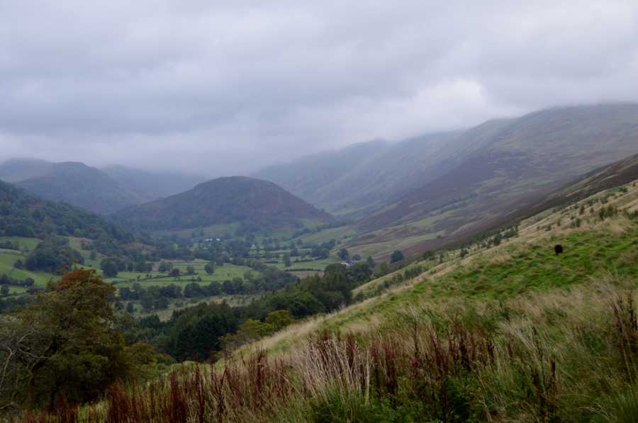
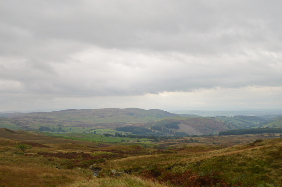
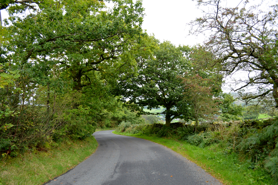
Before the rain came, Sallows and Sour Howes from Church Bridge |
 |
 |
24th September 2016 |
 |
|
Today I'm back in Lakeland with David on a walk in total contrast to last weekend where we experienced end to end sunshine with clear and distant views. After keeping an eye on the the forecast which had predicted high winds across the 'higher' summits we thought we would plan a walk that would suit both the conditions along with my niggling foot injury and came up with this route, a no brainer as Sallows and Sour Howes never fails to disappoint.
With the forecast in mind this was the type of walk which we planned while on route, the kind of walk which had bits added into it simply based purely on the reason, because we fancied going that way, it's a tactic that I have missed over the last two years due to projects and because of this, the simplest of changes to a walk ignites what fell walking means to me and today we did just that.
The forecast drastically changed on the morning of the walk which left me feeling rather sour during the drive north but thankfully after getting caught in the odd heavy shower we managed to stay ahead of the rain even experiencing a little brightness as columns of sunlight streaked out in the distance while the wind nipped at the tops of your ears, a sign that we are indeed, within the cusp of Autumn on the Lakeland Fells. |
|
| Wainwright Guide Book Two |
 |
| The Far Eastern Fells |
-Sour Howes
There is heather on the eastern slopes and therefore,inevitably, grouse; and therefore,inevitably, shooting butts; one may admire the construction of these butts while deploring their purpose. |
 |
|
|
| |
|
Overview |
|
|
| Ascent: |
1,935 Feet - 591 Meters |
| Wainwrights: |
2, Sallows - Sour Howes |
| Weather: |
Windy and Overcast, Some Heavy Showers, Remaining Mild. Highs of 22°C Lows of 12°C |
| Parking: |
Parking Spaces, Church Bridge, Troutbeck |
| Area: |
Far Eastern |
| Miles: |
7.7 Miles |
| Walking With: |
David Hall |
| Ordnance Survey: |
OL5 |
| Time Taken: |
4 Hours 35 Minutes |
| Route: |
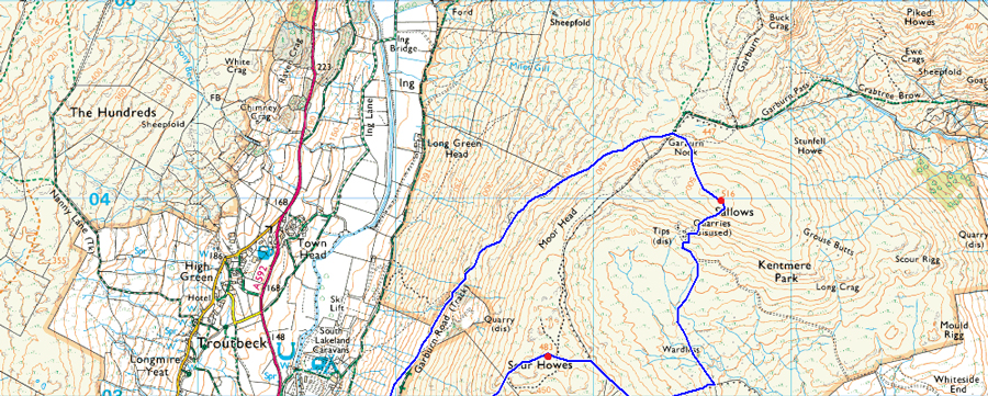
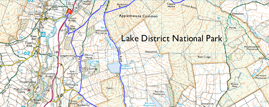
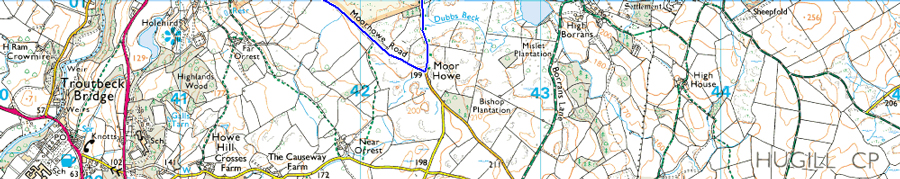
Church Bridge - Jesus Church - The Howe - Garburn Pass - Garburn Nook - Sallows - Wardles - Capple Howe- Sour Howes - Backstone Barrow - Dubbs Road - Dubbs Reservoir - Moorhowe Road - Longmire Road - The Howe - Jesus Church - Church Bridge |
|
| |
|
Map and Photo Gallery |
|
|
 |
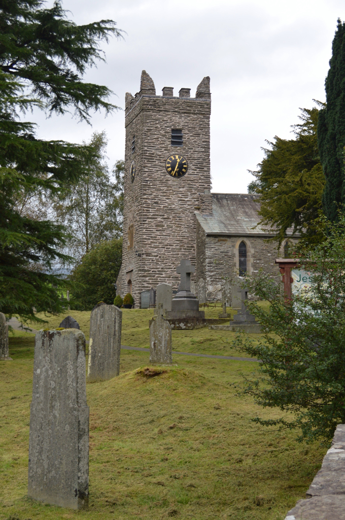
| Sour Howes from Jesus Church, Troutbeck 07:35am |
I don't know how but I managed to arrive a full half hour earlier than our arranged meeting time of 08:00am. The morning light was low and I could hear the wind blowing through the tops of the trees from the car park which when combined with the gushing sound from Trout Beck certainly felt very Autumnal yet it was still mild enough for me to wear shorts although perhaps, not for much longer. I grabbed my camera and had a stroll around the graveyard sometimes stopping to read the gravestones some of which date back over two hundred years. Every now and again a car might disturb the silence as it drives by and I can hear its engine fade into the distance over the sound of the wind. I'm still wearing a base layer and I'm starting to feel the nip of the cool morning air and with this, I return to the car and put my jacket on.
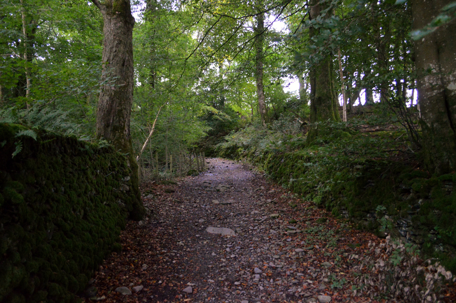
Through the trees I spot Davids car as he slows down to take the left turn before parking up alongside my car, we greet as always with a handshake as David proceeds to tell me that since leaving his house on the west coast the wind was so strong he thought we might have to cancel the walk, so much so while driving over Dunmail Raise, lorries and cars were almost blown off the road, with this I avert my eyes to the tops of the trees not quite believing what I'm hearing in the relative calm here at Church Bridge. Well, to add to the wind which we might experience later I go on to add, more rain is on its way, and, earlier that expected, I fear mate we're going to get a soaking from mid-morning on. With this in mind the cars are locked and we shoulder packs before heading out towards the Troutbeck side of the Garburn Pass, which is only a short distance away. |
 |
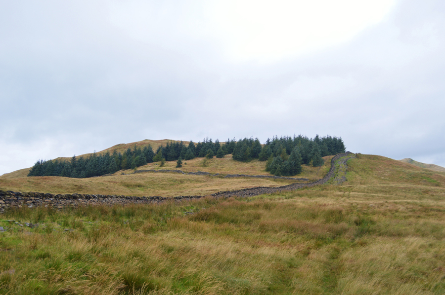
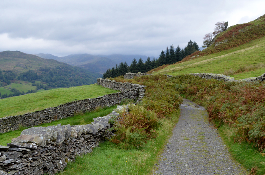
| The Garburn Pass. |
| |
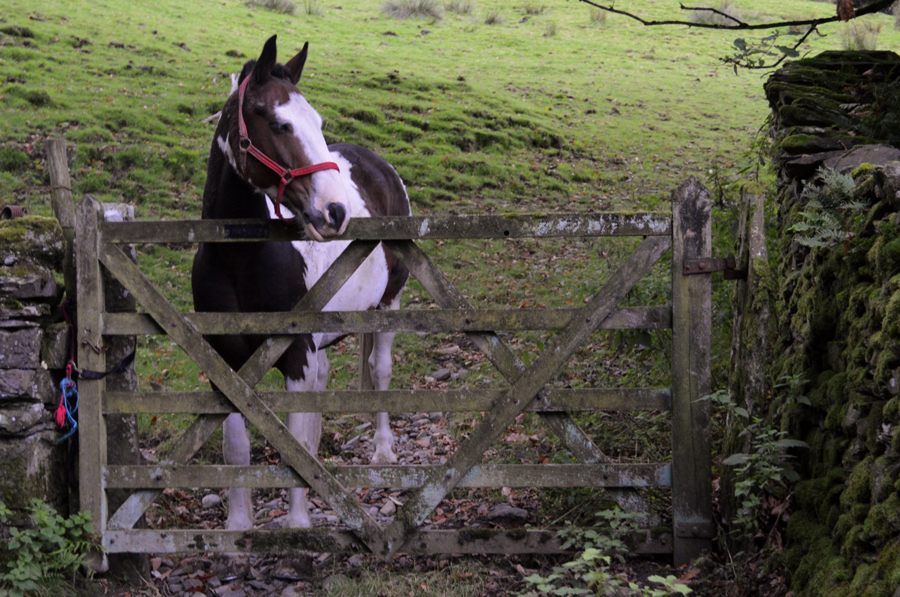 |
| The Howe. |
| As we pass the farm buildings when this chap came galloping over at such a pace we thought he wasn't going to stop and was going to break through the gate, he certainly was a friendly fellow allowing me to stroke his head before galloping back off again. |
 |
| His accomplice, however, |
| Was a little more weary opting to look on from a distance. |
 |
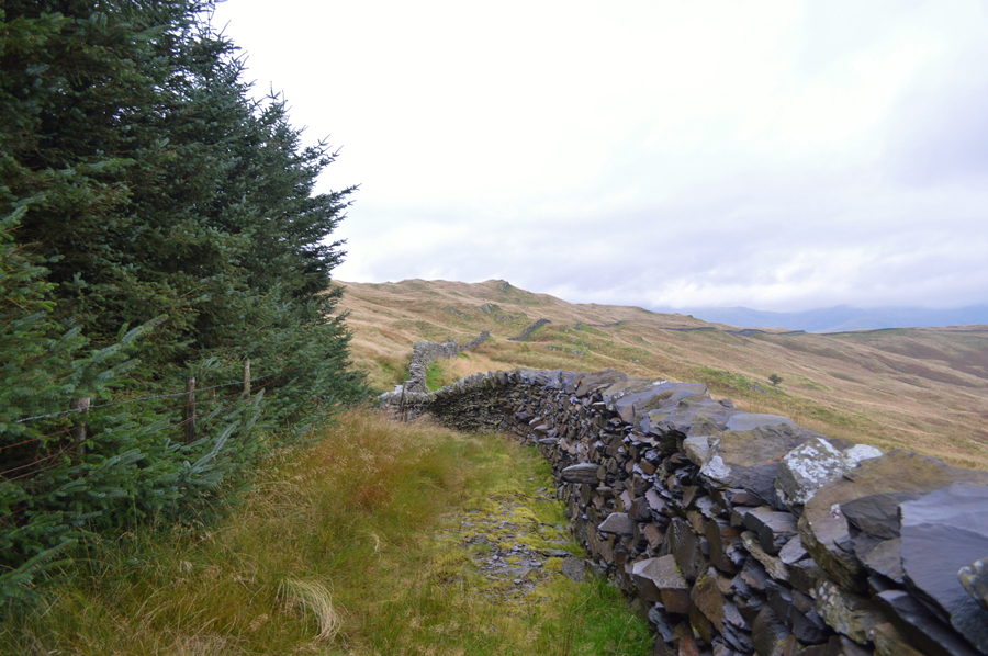
| The Garburn Pass. |
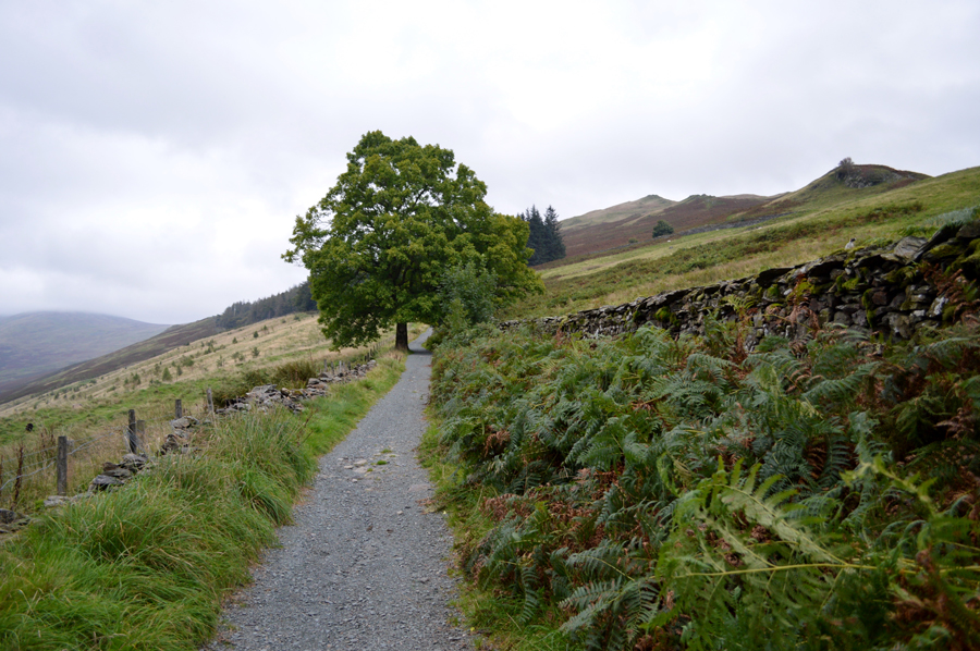
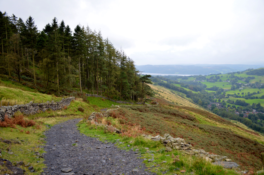
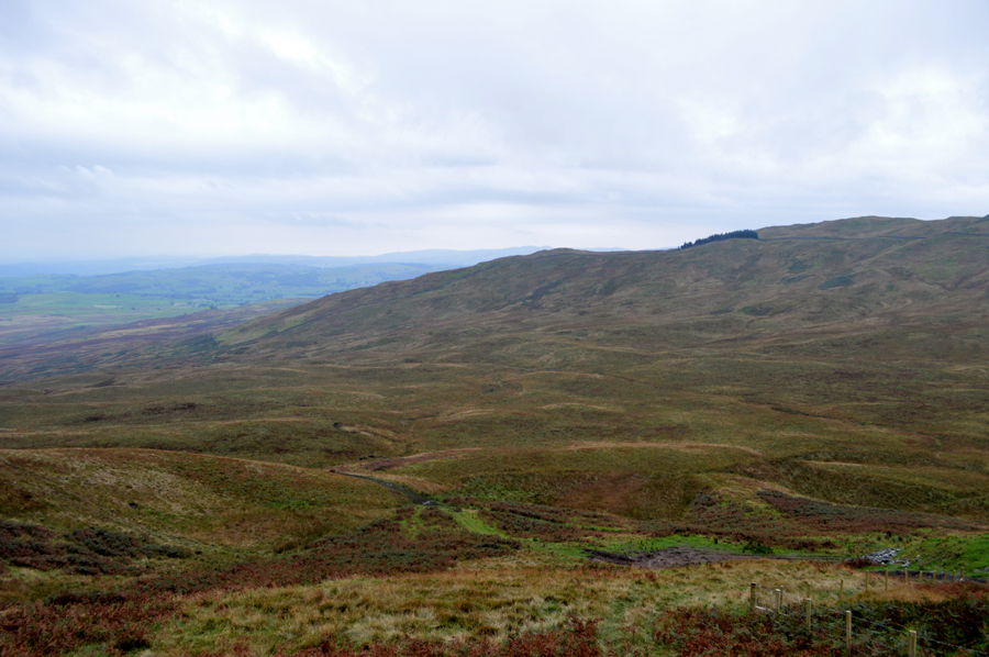
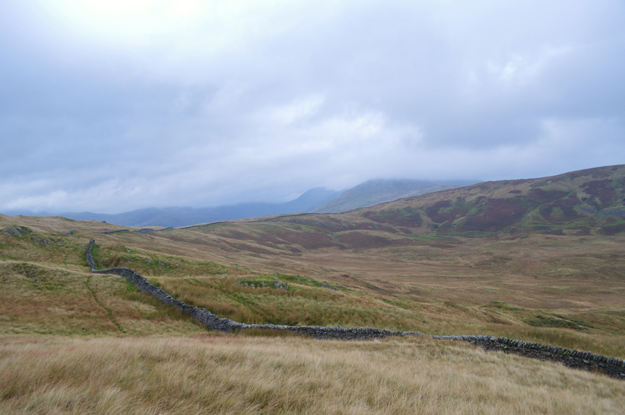
After passing through the farm buildings the pass opens out onto open fell side and a steady ascent awaits all the way to Garburn Nook situated at the top of the Garburn Pass. Wisps of rain are now in the air carried along by a now strengthening wind, rather than get caught out I decide to unpack my camera case if only to prevent the lens getting little water droplets all over it.
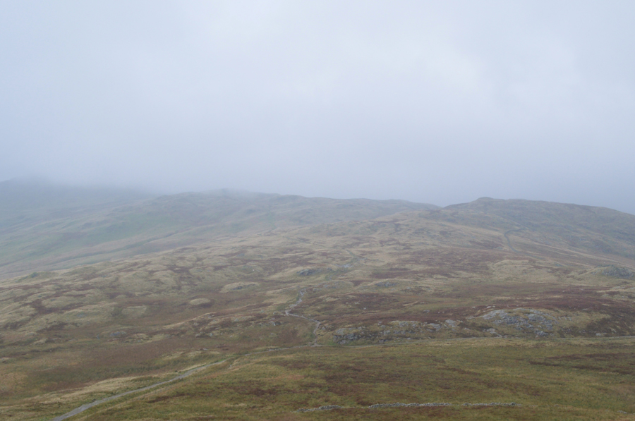
Up ahead a thick blanket of low cloud is obscuring the III Bell Ridge while high above our heads, cloud is crossing the sky at quite a rate of knotts, it soon becomes clear that the fell side is sheltering us from the elements for now despite it still feeling incredibly mild. |
 |
| Views into the Troutbeck Valley and the III Bell Ridge are limited due to the low cloud. |
| We press on. |
 |
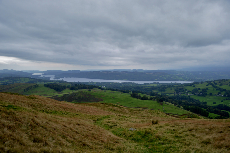
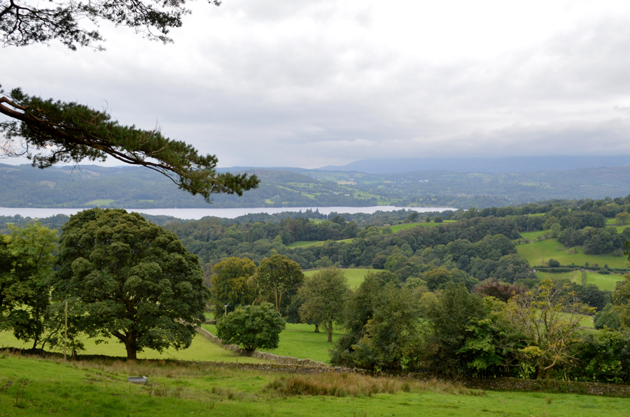
| Pausing to look back along the Garburn Pass with a distant view of Windermere. |
| Despite those water droplets in the air every now and again we might experience a hint of brightness which showed promise for anyone travelling through Windermere but this was misconceiving as the rain, was most certainly on its way, especially for us. |
 |
| Here looking back on Yoke over the top of the Garburn Pass from our ascent on Sallows. |
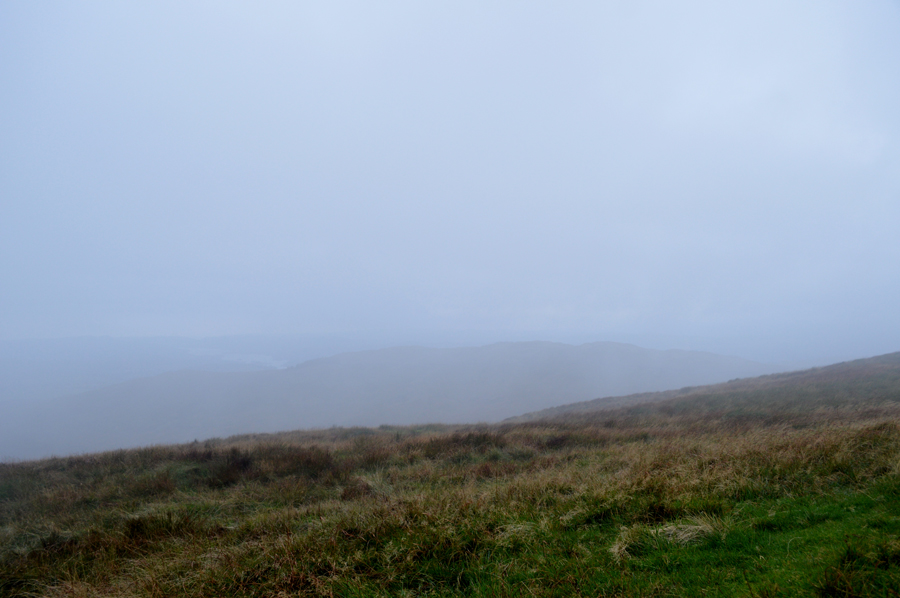
| By the time we had reached the top of the Garburn Pass the light faded and the cloud got lower, bringing with it rain. We were halfway into the ascent on Sallows and are still relatively protected by the fell side and with this in mind we down packs and add our waterproof over-trousers. From our sheltered ground two walkers are spotted arriving at the top of the Garburn Pass from the direction of Kentmere who turn off the pass and head out towards Yoke, perhaps they were doing a round of the Kentmere Horseshoe we didn't quite know but either way, once on the ridge we're going to be open to the elements with winds above the summits predicted to reach over 50mph. |
 |
| Sour Howes from Sallows summit. |
With our waterproofs added we took on the short, yet steady ascent and reached the grassy rampart which makes up the summit of Sallows. It had only been a short time earlier since the rain arrived but it sure became a conversation killer when combined with the wind. Here we take turns to take our summit photos using the slightly raised ground to shelter while kneeling down to get our shots.
With time on our hands we could look out as the cloud whizzed by sometimes leaving large gaps were views as far as the town of Kendal and its surrounding summits opened out long enough for David and I to rattle off some of the Outlying summits that I'll be visiting during next years Outliers project which I will gain by using the exact same routes as Alfred Wainwright.
It's only late September but I've already started to plan the routes together with some website work which weather permitting, should see me start the project in January 2017, but, that's then and this is now...what do you reckon David, where too next?
We had made Sallows summit in good time as we spent the next few moments picking suggestive routes from the tops of our heads all the while trying to consider conditions, I know, as an alternative lets head down there as David points towards 'Wardles' a micro valley; horseshoe in shape which connects both Sallows and Sour Howes via 'Moor Head' David proceeded to point out a stone wall below Capple How's eastern ridge from where we will be able to gain Sour Howes summit, quite easily.
Aye, sounds like a plan to me, lets go for it. |
 |
| Sour Howes seen over Wardles. |
| Due to the low light the stone wall isn't clearly visible but it's right there at the bottom end of the ridge, our ascent route will see us pick up the stone wall before ascending towards the treeline seen a little further up, but before we make the crossing we pay a visit to Sallows Slate Quarry just south of the summit. |
 |
| We descend towards the old Slate Quarry. |
| Feeling quite the adventurers, by which time it had also stopped raining. |
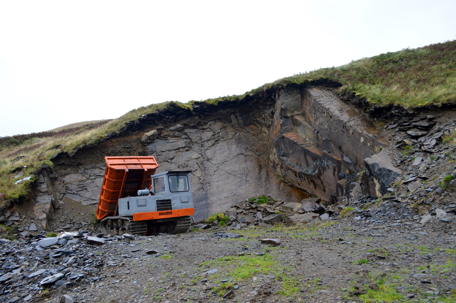 |
| Sallows Slate Quarry. |
After a short descent we found ourselves at the Quarry and ventured closer to have a look, we felt quite surprised to see the machinery which on closer inspection was minus its engine and was lying under a tarpaulin close by, we came to the assumption that it had perhaps broken down here and rather than drag it out its owners had tried to repair it, and then given up.
After a few moments having a look around we trace back to the track where we plot a pathless route over Wardless. |
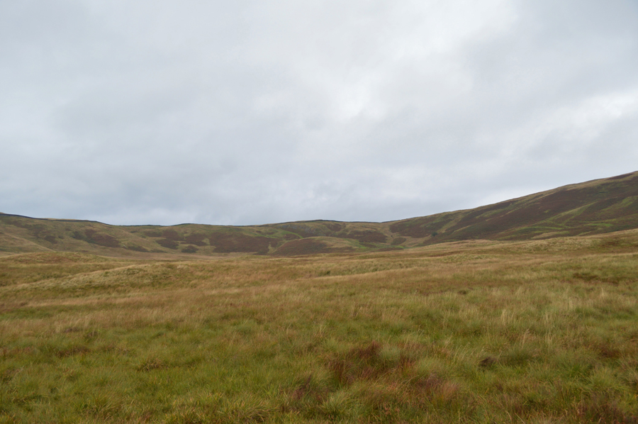 |
| Moor Head from Wardless. |
| We blaze our own trail through sometimes thigh high wild grasses in a location that feels far more remote than it actually is. The ground underfoot despite recent rain is relatively dry only having to avoid narrow water courses which are more often than not, hidden below the tall grasses below our feet. |
 |
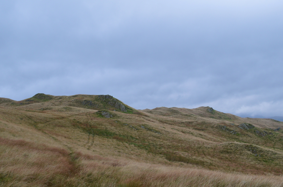
| Views towards a distant Brunt Knott and Potter Fell while beyond, Capplebarrow and Bannisdale. |
| It's such a shame about the low light but at least the rain was holding off. |
 |
| Capple How. |
| By the time we reached the stone wall it was decision time again, do we head over to Capple How and tempt fate or do we head straight for Sour Howes summit instead. |
 |
| Sour Howes is just ahead. |
We reached the shoulder of Capple How with ease and initially had opted to take a chance and make towards its summit, however after crossing a very finely crafted stone wall we found a barbed wire fence was blocking access, to add to this in order to gain Capple How we would have to trek through more tall wild grasses, it was no bother otherwise and decided to head directly towards Sour Howes summit from where after we had made the decision to pay a visit to Dubbs Reservoir.
Aye why not. |
 |
| Sour Howes summit soon comes into view |
| That's it over there on the left, and, much easier to spot from this side of the fell. |
 |
| Moor Head seen over Wardless. |
| What a fantastic area of the Lakeland Fells. |
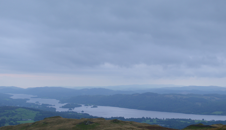 |
| A faded windermere from Sour Howes summit. |
| |
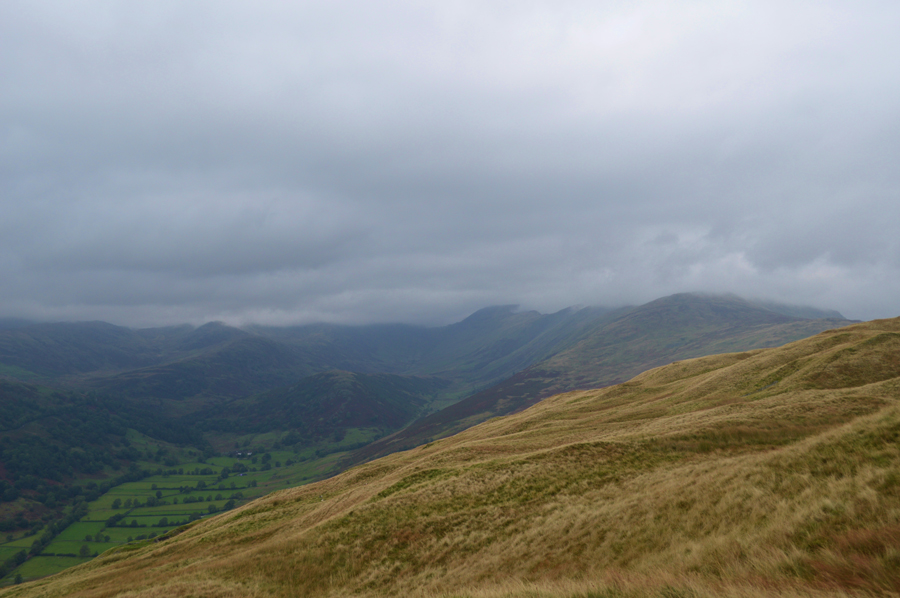 |
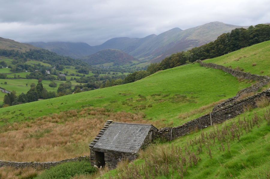
| Views into the Troutbeck Valley with the III Bell Ridge still below cloud. |
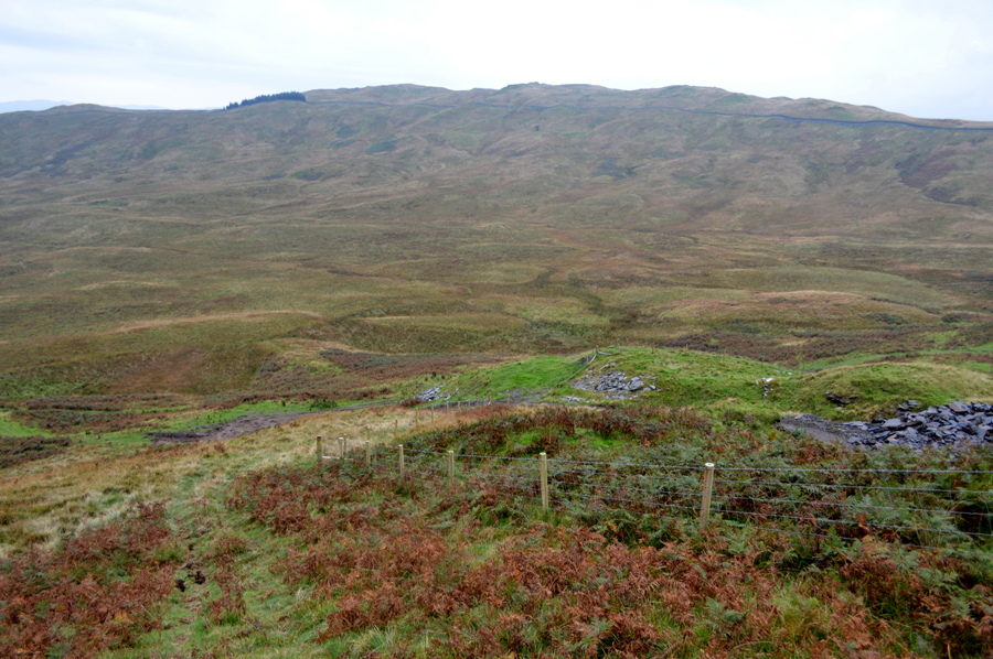
| After a few moments spent on Sour Howes summit we took in the slight descent and after only a short time of feeling quite remote, was brought back to reality while we took in the descent via Backstone Barrow, a grassy west facing ridge which offers great views although sadly, not today into the Troutbeck Valley. |
 |
| Views from Backstone Barrow towards Windermere with Dubbs Reservoir over on the left. |
| Which is where we are heading next. |
 |
| Descending Backstone Barrow. |
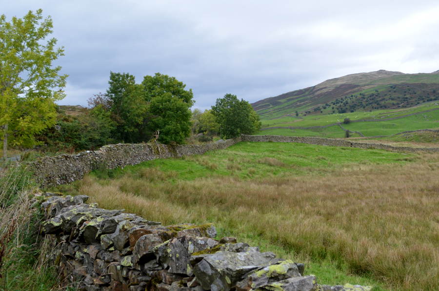
You might be able to make out a stone wall running parallel between the base of the ridge and the adjoining field, this is the Dubbs Road which after a short while, will lead us towards Dubbs Reservoir.
Another option was to make a birds eye descent southwards direct from the summit of Sour Howes while steering towards Dubbs Reservoir but as David informs me, there's many a high stone wall to cross, and seeing that we are trying to keep ahead of the forecasted rain, it was best not to tempt fate. |
 |
| Dubbs Road looking towards the III Bell Ridge. |
| This is one of my favorite views in Lakeland and although most of the view is obscured by cloud, I still decided to take a photograph of it. |
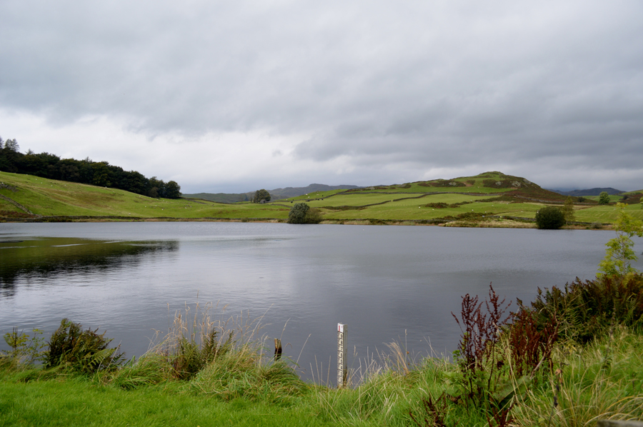 |
| Dubbs Reservoir. |
I was only here last Christmas Eve as I remind David at how badly the track had been damaged after the December storms where great ruts/channels have been gauged out of the path by the amount of water which I guess along with all the other paths that had been damaged will act as a constant reminder of how powerful mother nature can be.
On another note, I think that's the sun coming out. |
 |
| Looking back on Sour Howes from the bottom of Dubbs Road. |
With Dubbs Reservoir now behind us we take in the pleasant track towards the end of Dubbs Road where we are passed by an Ambleside Mountain Rescue Land Rover at a point where the track became quite narrow, both David and myself eased ourselves into the hedgerow at the side of the road only for the driver to give us a wave after tucking the Land Rover into the hedgerow thus allowing a gap where we could pass and by the looks of it there was new and young volunteers on board as smiles and nods are exchanged.
At the bottom of Dubbs Road it's time to turn right onto Moorehowe Road which I had only driven over just a few hours earlier while on route to Church Bridge. |
 |
| Making our way back to Longmire via Moorehowe Road. |
When possible I always try to use Moorehowe Road to access Troutbeck or the Kirkstone Pass as I find it a great introduction to Lakeland after a busy week in work even on route to places as further afield as Hartsop and Patterdale, I've probably lost count at the amount of times I've pulled over onto the verge to finish eating my sandwiches before heading home from here, it may only be a road, but it always feels pretty special to me.
Footnote: Its not always as peaceful as this, Moorehead Road can get very busy during the afternoon hence the poor Rabbit who we passed further up ahead. |
 |
| Longmire (Track) |
| From Moorehead Road we take a right onto Longmire Road before passing a large isolated Bungalow where we stopped and de-layered our waterproof over-trousers, it was possibly the brightest we'd seen it all morning and yet our surrounding summits are still below cloud as far south as the Coniston Fells. |
 |
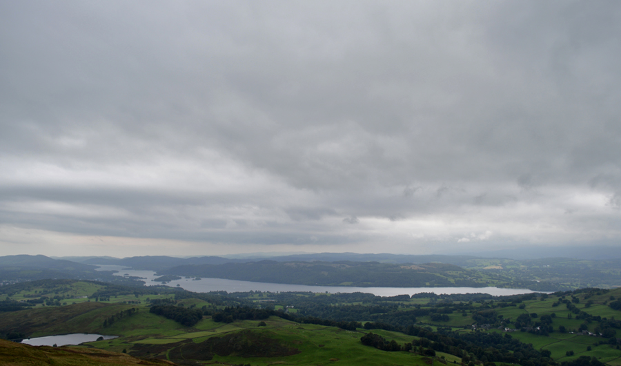
| Winderemere from Longmire Road. |
| |
 |
| Back on the Garburn Pass. |
Conversation had flowed all morning but the walk was almost coming to an end and, we were still on 'this side' of lunch time. Had there of been any benches, or indeed somewhere to sit we would have most probably ate lunch while on the Longmire track or along the Garburn Pass where we could now see that the cloud was starting to lift away from the III Bell ridge.
Seeing as there was nowhere to sit we decided to eat lunch back at the Church. |
 |
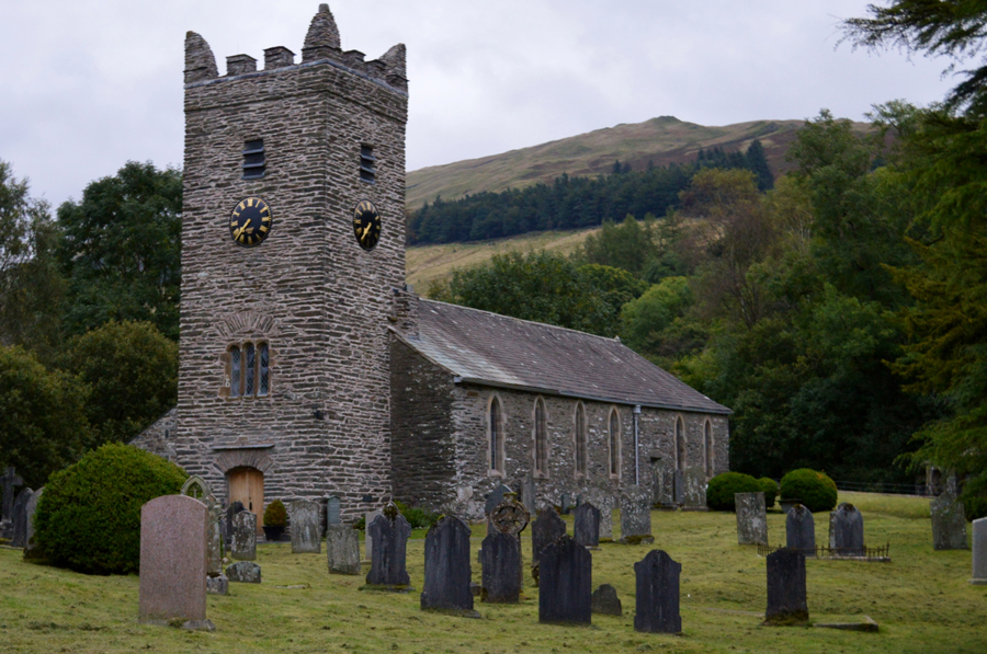
| Jesus Church, Troutbeck. |
Despite quite a few people walking the grounds we were lucky enough to grab a bench situated at the entrance to the Church where we broke out lunch, sometime ealier David had mentioned that on last nights news it was reported that a local Troutbeck Farmer had painted his sheep in bright orange because they kept getting pinched and during the course of the morning both David and I had been on the lookout for the lumious four legged creatures but hadn't seen any...
After we had packed lunch away it was decided that we would have a look inside the Church, it's a place that we are both familier with and it's also a place which never fails to impress, especially the hand crafted Stained Glass windows. |
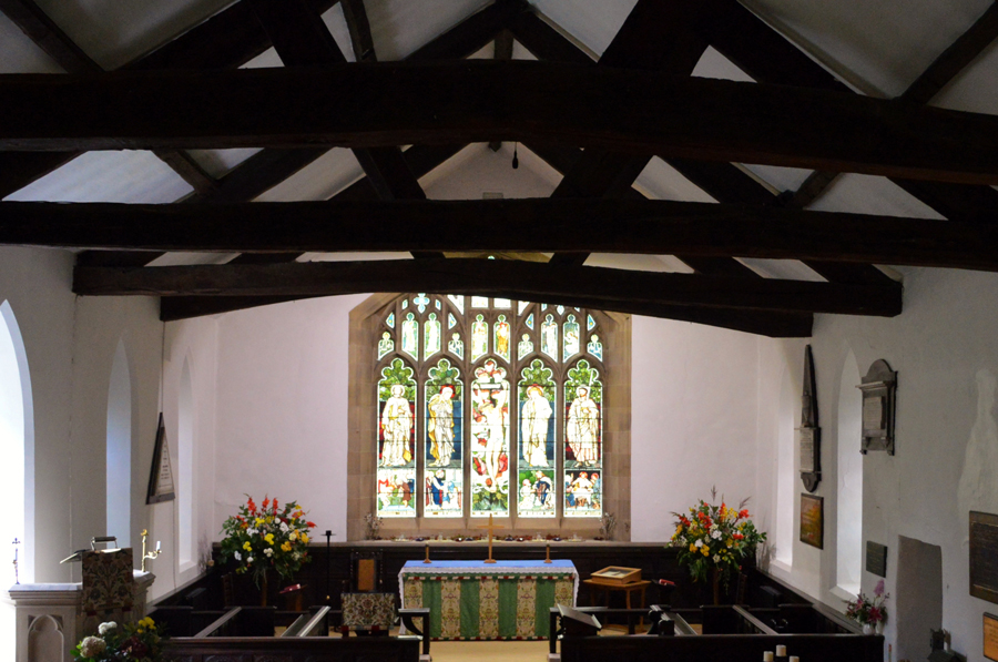 |
| 'The Jewel in the Crown' the East Window. |
| Thought to be the best Stained glass in Cumbria. |
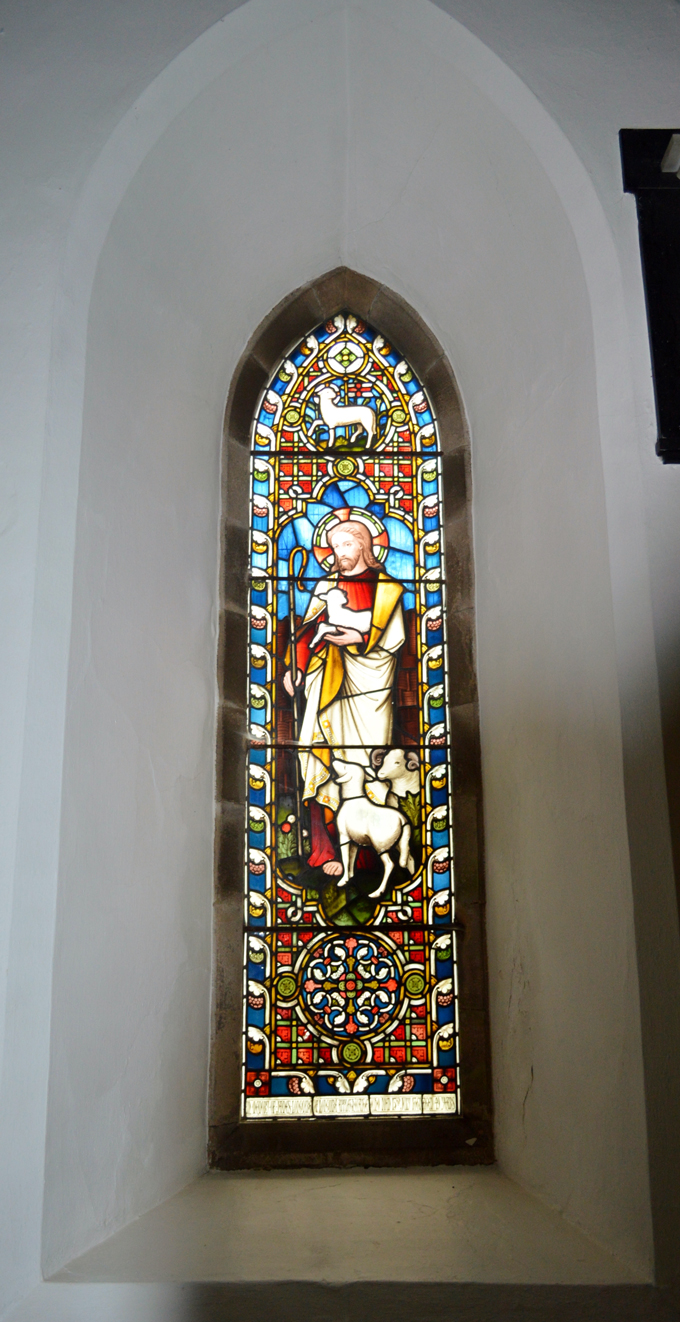 |
| Jesus The Lamb of God. |
| The inscription below reads "In memory of James Longmire of Longmire who died 13th July 1861, aged 49 years." |
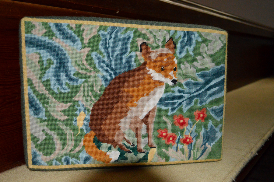 |
| Fox Tapestry. |
Walking poles are left in the hallway as we take time to look around the church where soon we are joined by two women as David looks through the history of the church some of which was incredibly detailed. Outside we had noticed that the stone work had recently been re-pointed as a worker props up a ladder which was our queue to collect our walking poles rather than be in the way.
It would seem that we have been lucky and had been one step ahead of the forecasted rain which was predicted to fall anytime now, maybe as discussed we could have made it to Troutbeck Tongue, or the summit of Capple How but at the time it didn't seem right to spoil a good day by getting soaked as from the west we could see the clouds darkening which could only mean one thing.
This wasn't the case in Troutbeck though, here it maybe overcast and unsettled but this was in contrast to the dozens of bright orange luminous sheep seen grazing in a field o'yonder. |
|
| |
| Back to top |
 |
|