|
Walking the Wainwrights in 30 Walks - Walk 5 The Central Ridge |
 |
 |
3rd March 2016 |
 |
|
After only a few days away it would seem that Winter is still keeping a tight grip of the Lakeland Fells with heavy rain which was falling as snow sometimes as low as 100 meters leaving the fells in full Winter conditions at a time when really we should be welcoming Spring onto the hills.
This had an effect on my mid week walk causing me to re-think my intended project walk on the Langdale fells to something more low key so todays walk along the Central ridge fitted perfectly, although it did occur to me in the back of my mind that after all the rain that had fallen this week would one of Lakelands notoriously boggy ridges have thawed out, this would potentially leave me knee deep in bog water for the duration of the walk. If I am lucky, my guess is that the ridge is in the initial stages of thaw and if this is the case the crossing should go without too much trouble.
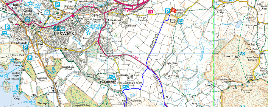
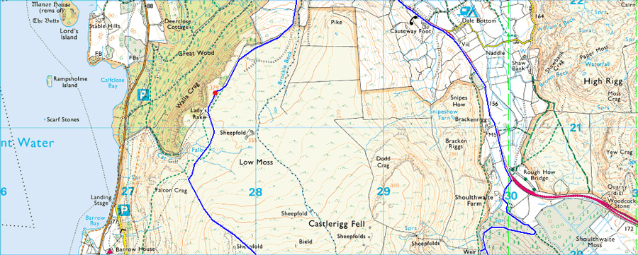
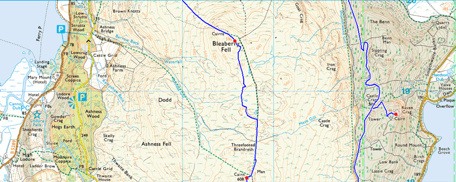
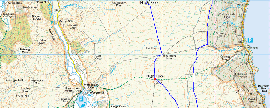
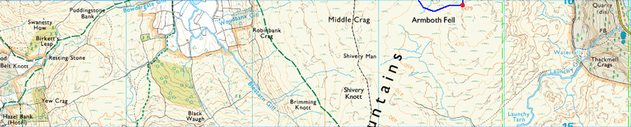
Todays project walk collects six Wainwright summits starting with Walla Crag, before crossing Low Moss and ascending Bleaberry Fell, thereafter High Seat and High Tove followed by a slight descent over looking Thirlmere before collecting Armboth Fell. From the summit of Armboth Fell I shall track north over marshland before picking up the Forestry Track high above Thirlmere to take in the final summit of the walk in Raven Crag ending the walk over the valley of Shoulthwaite along the Forestry Track and finally along a deserted A5091 back to Castlerigg. |
|
| Wainwright Guide Book Three |
 |
| The Central Fells |
-Bleaberry Fell
Bleaberry Fell terminates the central ridge to the north in much like the same manner as Clough Head and Loadpot Hill terminates the parallel Helvellyn and High Street ridges on the eastern side of the district. |
 |
|
|
| |
|
Overview |
|
|
| Ascent: |
2,238 Feet - 683 Meters |
| Wainwrights: |
6, Walla Crag - Bleaberry Fell - High Seat - High Tove - Armboth Fell - Raven Crag |
| Weather: |
Overcast Throughout, Some Light Showers/Snow Flurries Cloud Lifting Towards Midday Highs of 6° Lows of 2°C Feels Like -2°C |
| Parking: |
Castlerigg Stone Circle |
| Area: |
Central |
| Miles: |
12.8 |
| Walking With: |
On My Own |
| Ordnance Survey: |
OL4 |
| Time Taken: |
6 Hours 10 Minutes |
| Route: |
Castlerigg Stone Circle - Castle Lane - Rake Foot - Walla Crag - Bleaberry Fell - High Seat - The Pewits - High Tove - Armboth Fell - Forestry Track - Raven Crag - Forestry Track to Shoulthwaite Farm - A591 - Nest Brow - Castle Lane - Castlerigg Stone Circle |
|
| |
|
Map and Photo Gallery |
|
|
 |
| Cloud topped Blencathra from Castlerigg Stone Circle 07:70am 2°C |
Despite there being snow on the ground at low level I hadn't expected the cloud to be as low as what greeted me as I drove along the A66 where even Souther Fell was a under a cloak of white cloud topped off by an even lower snow line. This wasn't really on the forecast but I guess my cards have been dealt and I'll make the most out of the situation as I always do. I turned off the A66 for Keswick and soon made the left turn at the familiar sign post 'Climbing Wall and Castlerigg' and began the steep climb up the narrow lane.
As expected there wasn't anyone else at the parking spaces as I broke the ice over several large puddles settling to leave my car just opposite the main gate which opens on towards the Stone Circle. I am greeted by a chap who looks like he's walking to work closely followed by a dog walker and smiles are exchanged. The conditions feel mild but I kit up for winter safe in the knowledge that once onto open fell side the spring like temperatures are going to plummit down a level. With the car locked I head out towards the Stone Circle and find a field full of sheep who are happily grazing around the ancient stones. I am reminded of how special Blencathra looks from one of its best vantage points but not even when set against this ancient back drop all I can make out is the waistline of Blease Fell.
I had Castlerigg to myself and on any other 'nice day' I would spend time here taking in the views and capturing them with my camera but today there simply isn't anything to see and with this I head off towards the corner of the field and climb over the stone wall onto Castle Lane. |
 |
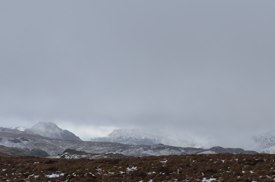
| A distant Bleaberry Fell over on the left seen with Walla Crag over on the right. |
| Any long distant views are hampered by low cloud in almost every direction and I'm hoping by the time I reach Bleaberry Fell which you just make out in the distant left of the photo the cloud might have lifted, but first before all that I'm heading for Rake Foot seen where you can see the chimney smoke rising. |
 |
| Walla Crag seen over Rake Foot Farm. |
| I wasn't feeling completely inspired if conditions at Rake Foot were anything to go by, here a light dusting of snow had fallen on an already swollen ground causing my boots to sink ankle deep into the mud which had been stirred up by the farm machinery, lets just hope it's a little firmer underfoot with height gained. |
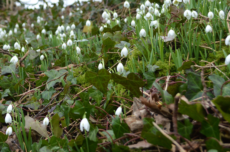 |
| Snow Drops captured close to Rake Foot Farm. |
| |
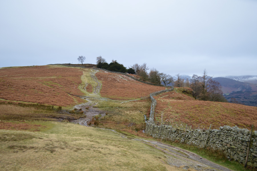 |
| Walla Crag summit is just ahead. |
It may not look it but the ground underfoot here is semi-solid with the exceptions that any frozen puddles had thawed out, this was great news and a slight niggle off my mind as to what I may find higher up along the High Seat ridge, all I need now is for the cloud to lift but I guess I can't have it all. |
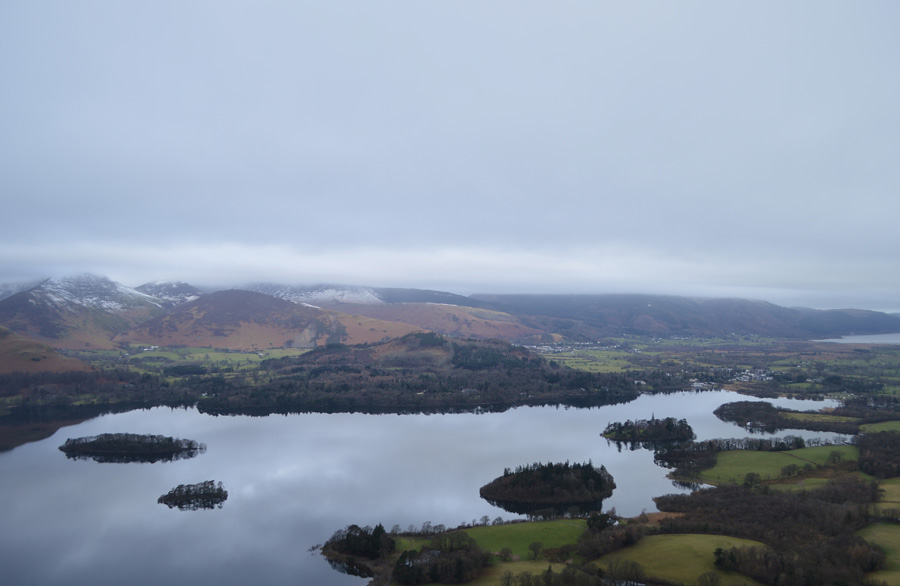 |
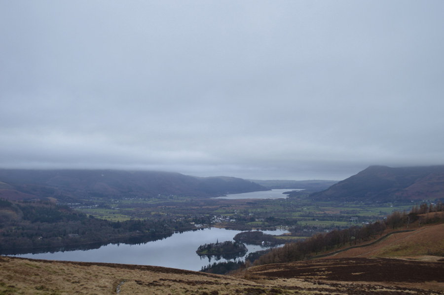
| Derwent Water from Walla Crag. |
| After following the stone wall making sure to pass the first wooden gate towards the summit the ground soon plateaued before I pass through the second wooden gate and after a short distance I was at the summit, the views still hampered by low cloud although it's fair to say you can never tire of this view over looking Derwent Water. |
 |
| Cat Bells and Maiden Moor seen shortly after leaving Walla Crag summit. |
| |
 |
| Bleaberry Fell and Brown Knotts seen over Low Moss. |
Having left the summit treading carefully I might add over wet rock I again pass through the wooden gate, ahead is the distinctive path that leads all the way towards Bleaberry Fell and just about to join it is an elderly fellow with his dog who as it turns out, is walking the High Tove ridge also not before summiting Walla Crag first, we strike up conversation which covered just the one subject "lets hope the ground is solid along the ridge" he trundled off in the direction of Walla Crag and after turning around a couple of times I saw him stood at the summit but that was the last I saw of him.
I press on. |
 |
| Views over Derwent Water and a distant Bassenthwaite from Low Moss. |
| |
 |
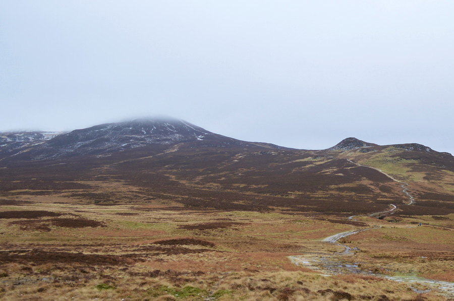
| Bleaberry Fell ahead as I flank Brown Knotts. |
| By now the ground underfoot was turning solid as I found myself crunching through puddles and avoiding small amounts of ice that had formed over the rock strewn path, notably it had started to get much cooler too as I pull down my beanie making sure it covers the bottom of my ears. |
 |
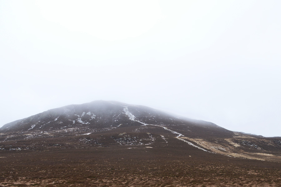
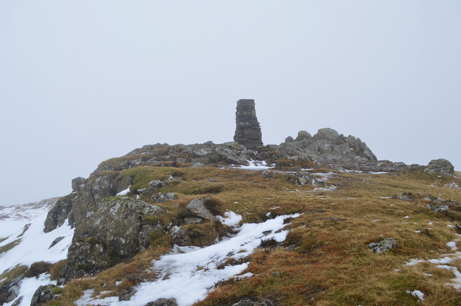
| Bleaberry Fell summit shelter and summit cairn. |
| I had by now climbed into the cloud via the steep stone path which had a layering of fresh snow on top of older snow and beneath that, ice. The ice was unavoidable and I studied my path every few meters making sure I didn't land myself with no way forward, or back for that matter. Despite the negotiations I was more than happy to see the ice and snow that I had completely forgot about visibility and to be quite honest, It didn't really matter. |
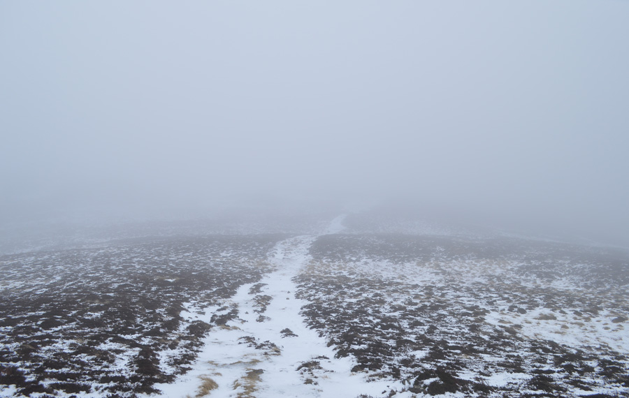 |
| Heading into the cloud towards High Seat. |
| Just silence. |
 |
| Crossing the wooden sty between Bleaberry Fell and High Seat. |
| There are two main paths that link Bleaberry Fell to High Seat, the more prominent of which is by following the fence which is somewhere off to my left, the path that I am using is anything but straight as it winds its course over marshland, stream and craggy outcrops but it's reassuringly easy to follow even when the cloud is down and visibility is reduced. |
 |
| High Seat summit looms out of the cloud. |
From one craggy outcrop the definite contours of High Seat appear through the cloud, but before I make the slight ascent I have to negotiate more swollen ground which at times doesn't hold my weight and I plummet ankle deep into the frozen water, my leather boots are doing a fine job of keeping the water out but at this rate I don't know how long my cosy feet are going to stay dry.
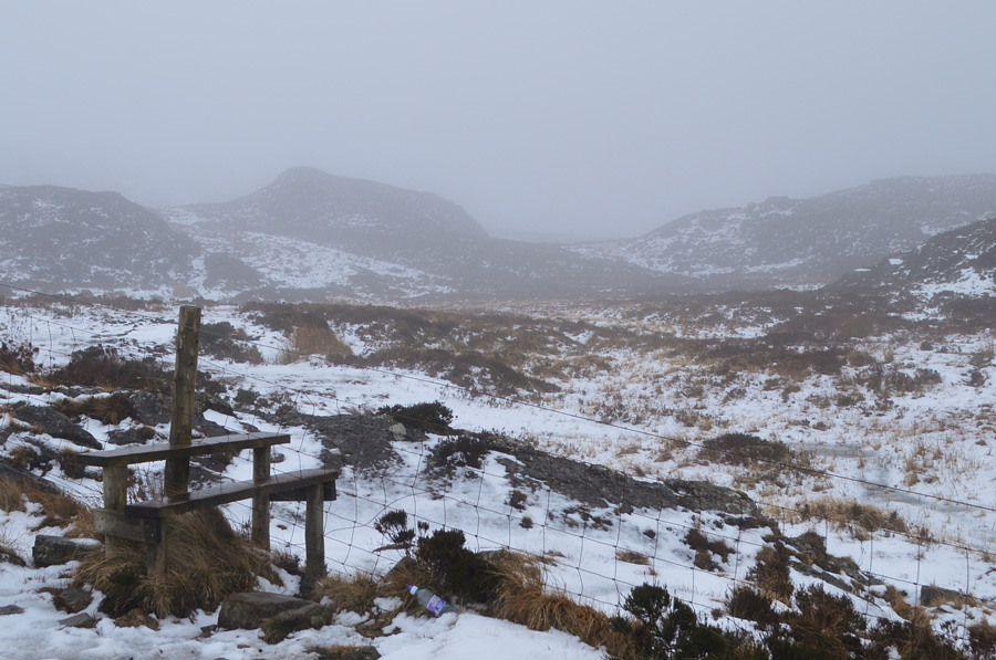
After a quick tap from my walking pole I retrace my steps back to the ridge and make my way towards the fence which looms closer from the mist, here I am greeted by the second wooden sty found along the ridge and from memory the best way to cross the notoriously boggy Pewits is by having the fence to your right.
With this I pass through the sty and start a slight descent onto The Pewits. |
 |
| Heading across The Pewits. |
| It's nice and relaxing for now but I'm sure it can't stay like this all the way across! |
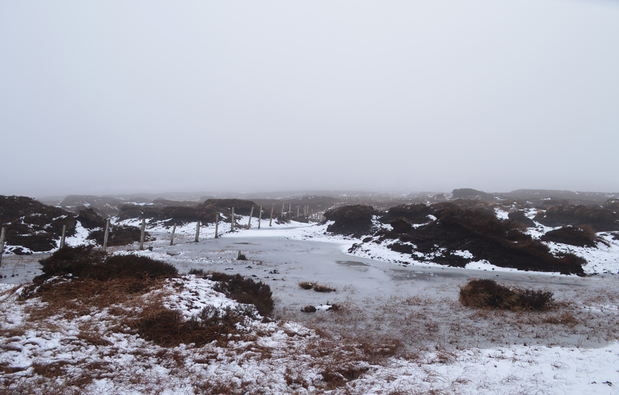 |
| Sink or swim! |
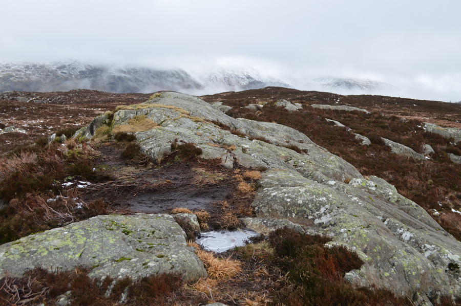
There is a section of The Pewits which even in good weather can be wet and boggy and this is it, thankfully the peat hags were still frozen and retained my weight but sadly the same couldn't be said about any standing water which looked frozen until you went to step over it.
It was like trying to run across a giant Slush Puppy...wet freezing cold bog water flavour! |
 |
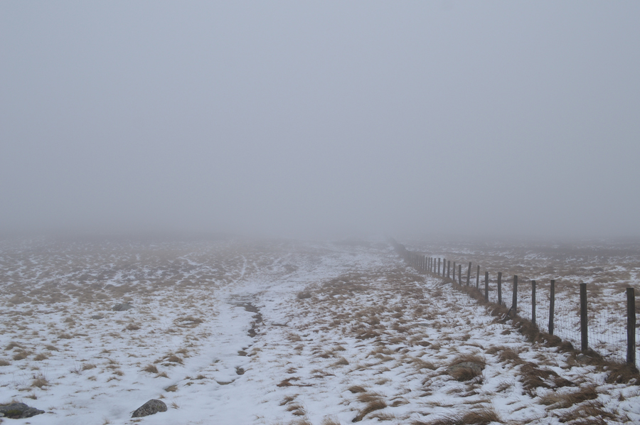
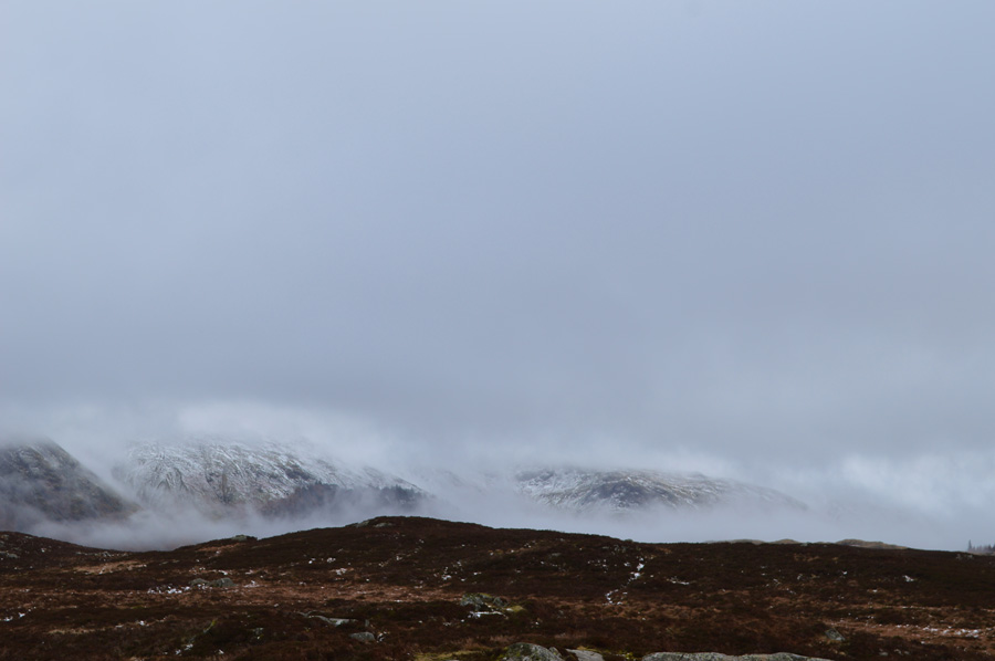
| Looking back towards High Seat as the cloud begins to lift. |
| Shortly after taking this photo I turn around and continue to follow the fence which then goes off distinctively to the right and then another left creating a 'dog leg' ahead the snow has highlighted shortcuts in the direction of High Tove but the ground dips into a bowl and it's looking way too boggy to take advantage of the short cut, instead I will follow the fence even if it is the slightly longer way around. |
 |
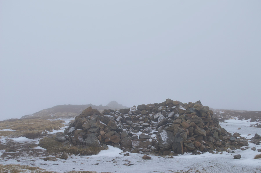
| High Tove summit cairn. |
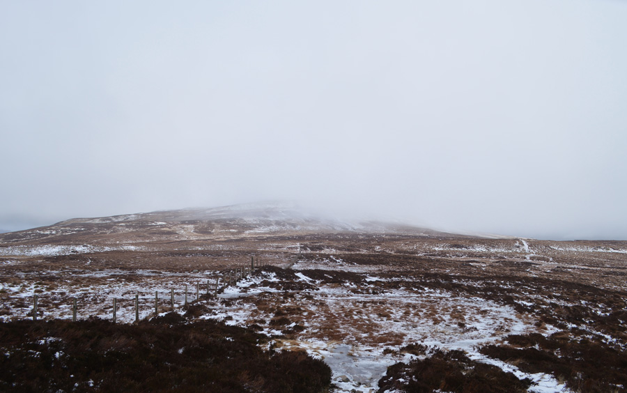
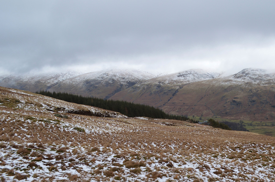
| After a slight ascent High Tove summit was soon reached. Around me the cloud had started to lift only for it to drop back down again and it was the same all the way through to Dunmail Raise with no summits seen. From the summit I could see fleeting glimpses of Armboth Fell and several traces of a path highlighted by the dusting of snow, soon after the cloud did eventually lift revealing the summit of Armboth Fell which looked quite distinctive from my platform here on High Tove summit, all that was needed was to cross the sodden ground between both summits, if your not keen on cold wet feet, don't follow me! |
 |
| Armboth Fell revealed once the cloud had lifted. |
| The ground underfoot started off as expected but the further I got into the crossing the path turned into what only can be described as a lake and with no other ways around I had no alternative than to plow my way through all the while my boots and socks had totally given up on keeping the cold water out. |
 |
| I couldn't moan about the views though... |
| Very dramatic indeed. |
 |
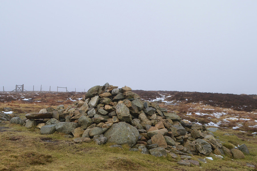
| Armboth Fell summit. |
| With the summit of Armboth Fell reached I down pack and take out a Snickers Bar whilst watching the cloud as it slowly lifted over Browncove Crags, Helvellyn and Lower Man. |
 |
| What the view lacks sure makes up for in cloud dramatics. |
| I could of sat here all morning watching the cloud lift, but unfortunately I needed to keep moving if I ever I wanted to feel my toes again. |
 |
| Heading out towards the tree line in the distance. |
| With Armboth Fell behind me I pick out in the general direction of the treeline seen ahead from where I should be able to pick up the Forestry Track and thereafter Raven Crag. My path soon leads out over a youthful Fisher Gill which today required a careful jump over due to how swollen the Gill had become. After crossing Fisher Gill I pick up the path that is highlighted by a dusting of snow in the left of the photo which wasn't my exact route of direction but after following the path for a while I'll be able to take a sharp right towards the corner of the tree line. |
 |
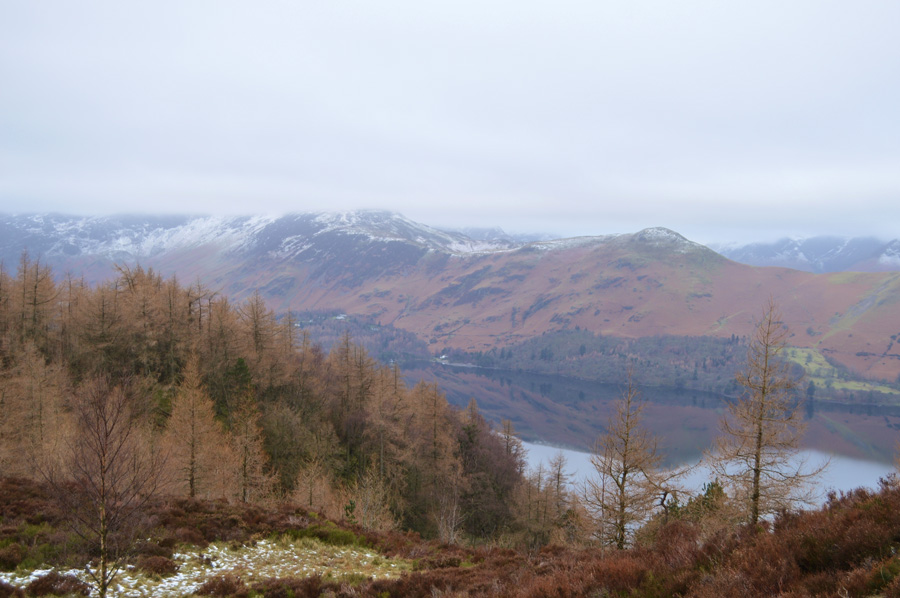
| Views over Fisher Crag and Thirlmere. |
| The cloud is ever so slightly starting to lift. |
 |
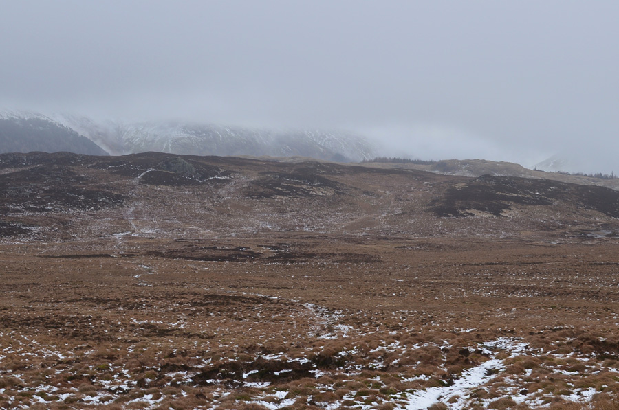
| Revealing Browncove Crags, White Side and Raise. |
| I've left the path now and descending towards the top of Middlesteads Gill in the foreground, after more descent I should be able to pick up the Forestry Track soon. |
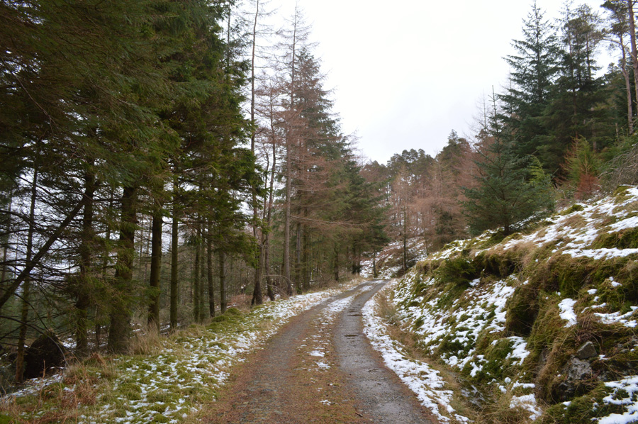 |
| Forestry Track on route to Raven Crag. |
| My plan to pick up the Forestry Track hadn't worked out as planned as once Middlesteads Gill was descended I crossed over a large sty which had a trace of a path which lead into the Forest, however the Forest was so thick in plantation I was forced back over the sty opting instead to follow the outskirts of a wire fence about three quarters of a mile north from where I passed through a gate onto this Track, had I have known how thick the Forest was I would have planned this route completely differently and for that, for a short while I preceded to beat myself up over the unknown. |
 |
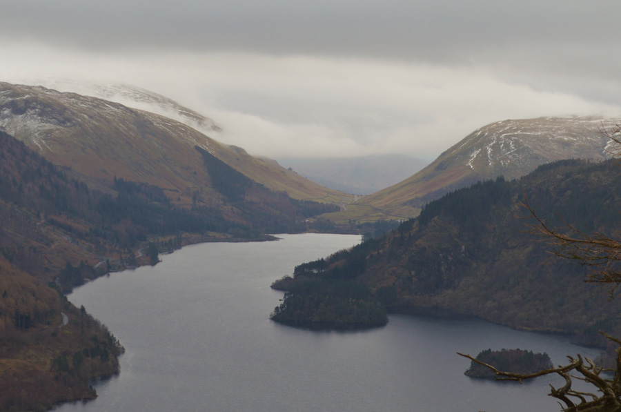
| Thirlmere, Steel Fell and Dunmail Raise from Raven Crag summit. |
I had thought about making the short diversion to also include Castle Crag Fort into todays route but opted otherwise whilst trying to make up for lost time earlier. The Forestry Track soon lends its way towards the path that steeply rises to Raven Crag summit which is where I pass a couple making use of the dead wood to sit on whilst eating their sandwiches. Ahead extensive work has been carried out from previous storms that flattened the woodland west of the summit and here a clay like path is in place which made slow progress towards the steeper steps found higher up the path, some of which had been replaced by new steps which made the rest of the ascent a little easier.
I soon topped out on the summit and was met by a friendly Collie who's owners were stood talking close by, we greet each other with smiles before I take the short descent to a rocky platform from where I started to take some photos over looking Thirlmere. |
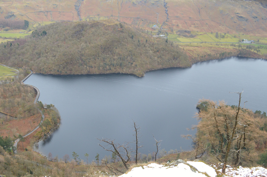 |
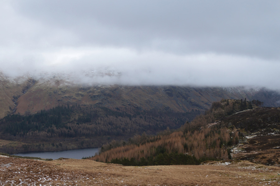
| Looking down on Thirlmere Dam from Raven Crag summit. |
| |
 |
| A closer look towards the southern end of Thirlmere. |
| There was nothing to see in the form of progress to the A591 from the summit of Raven Crag which had been washed away during Storm Desmond but I'm sure whoever's in charge down there is making sure that things are still running to schedule. |
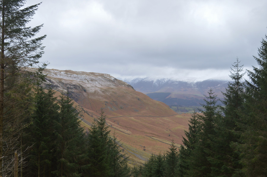 |
| Goat Crag from the Foresty Track |
| Time to head back down to Shoulthwaite Farm. |
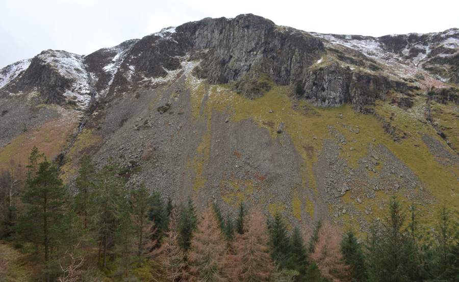 |
| Iron Crag seen high above the delightful Shoulthwaite valley. |
| |
 |
| Iron Crag from Shoulthwaite Gill. |
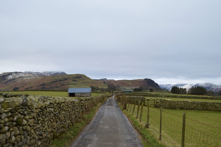
| I had followed the Forestry Track all the way to the valley floor where at times through the trees I would get a glimpse of the valley far below, Shoulthwaite really is one of those places when you visit you never forget which is why I consider it to be one of my favourite hidden gems within the Lake District and it's only less than a mile from the A5091. |
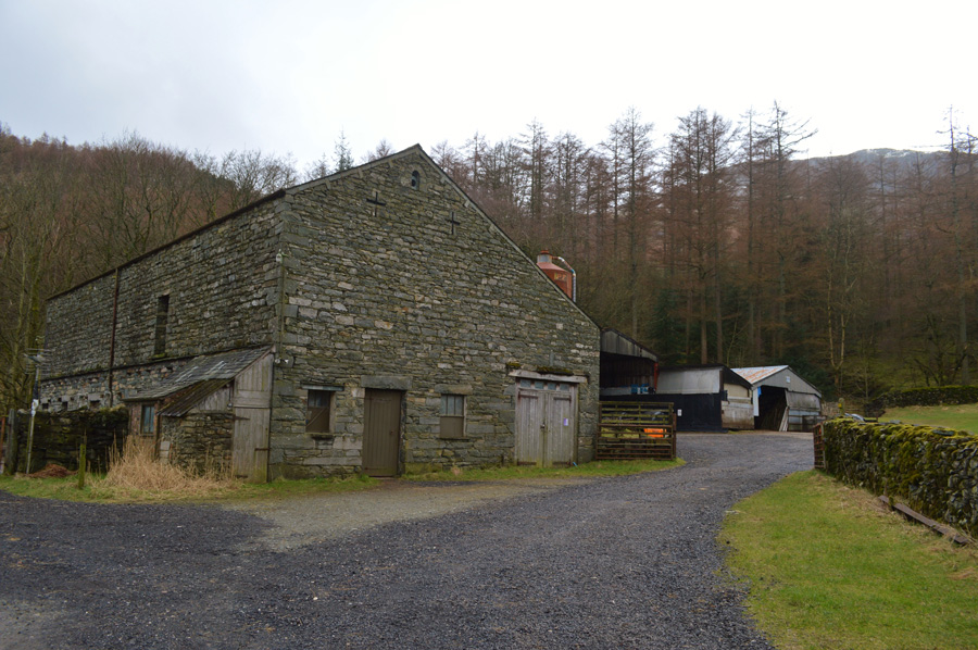 |
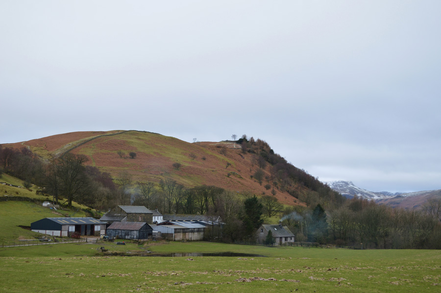
| Passing through a very quiet Shoulthwaite Farm. |
| |
 |
| Sunlight over Brackenriggs. |
| After leaving Shoulthwaite Farm behind I join the A5091 which is exceptionally quiet due to the road repairs going on north of Dunmail Raise, only a few lorries will pass me as I take in the last few miles before reaching Castle Lane once more but at least I knew that those lorries were part of the project to get the A5091 back open again which was quietly satisfying. |
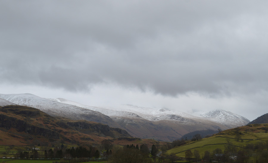 |
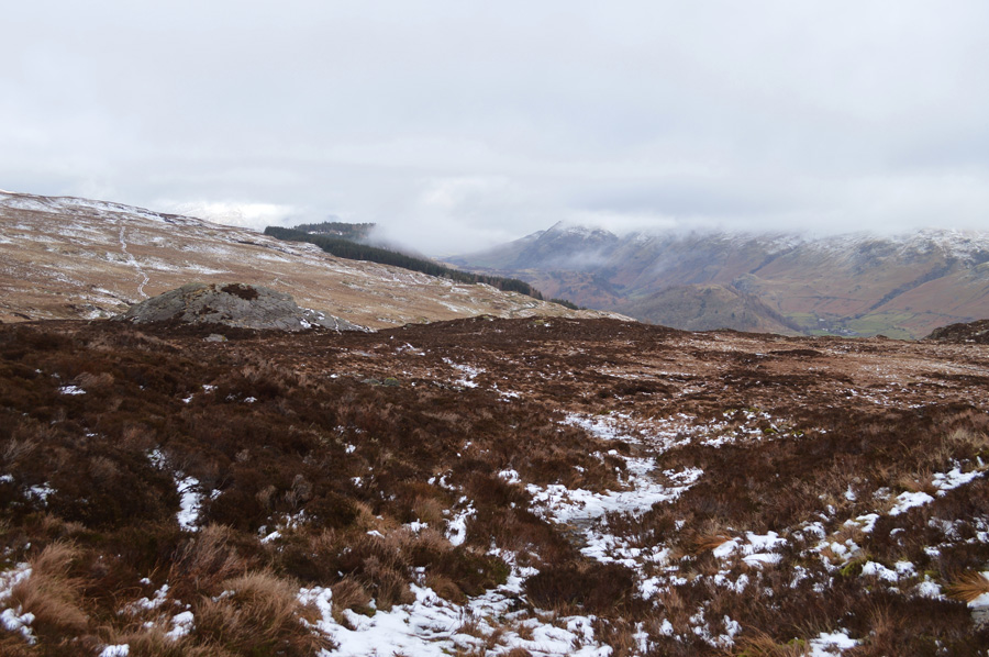
| Looking back on Stybarrow Dodd, Raise, White Side and Browncove Crags from Nest Brow. |
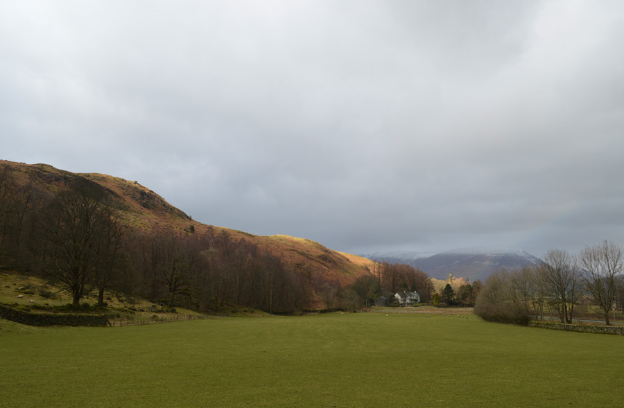
After following the A5091 back to Nest Brow I soon found myself at the end of Castle Lane from where I make a right back towards Castlerigg Stone Circle, the puddles that had lined the lane from this morning had either subsided into the hedgerows or vanished completely. Over towards the west Grisedale Pike glistens in sporadic sunlight capturing the snow covered summit in brilliant light in otherwise very dull conditions indeed. I clamber back over the stone wall and find myself at the Stone Circle which is busy with tourists with cameras and with this I decide not to take any more photographs.
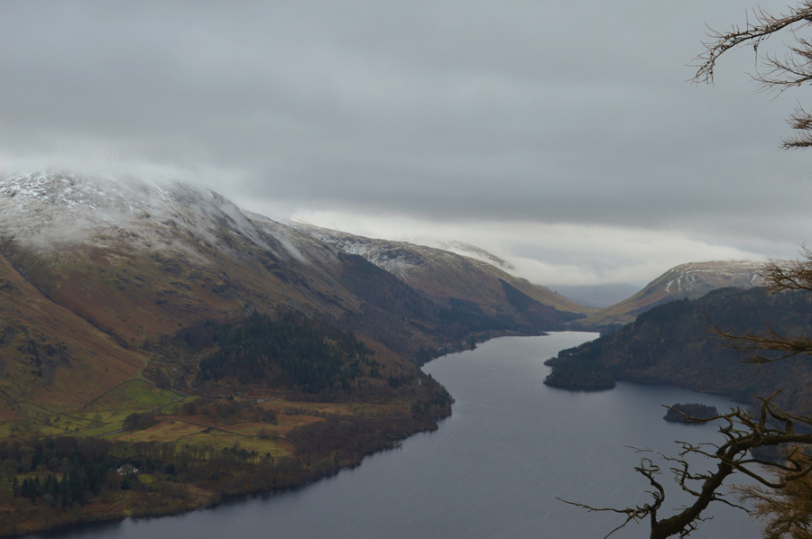
My car is parked just beyond the wooden gate and I've been looking forward to taking the first rest of the day from where I'll eat lunch whilst sat in the drivers seat before the drive home, through the car window I can just make out Bleaberry Fell as I had this morning and despite the summit now being cloud free the ridge still holds on to the low light that hasn't left me all day, a camera can't do a walk like today any justice as I think back to this morning feeling delighted that the ground hadn't completely frozen making my crossing of the High Tove ridge that bit more enjoyable and the fact that having no views while I did this didn't even enter my head.
|
|
| |
| Back to top |
 |
|