|
The Harry Griffin 2,000 footers walk 14 -Walking High Street |
 |
 |
23rd May 2015 |
 |
|
This walk could well have deservedly featured as the walk that would have brought my two thousand footers challenge to an end given my love for the area and indeed High Street, in fact, after how well todays walk went I would have been proud to have ended my campaign here but, plans have already been set.
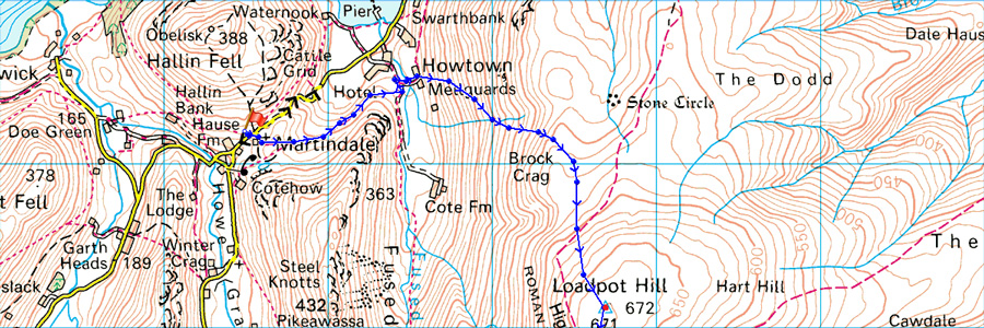
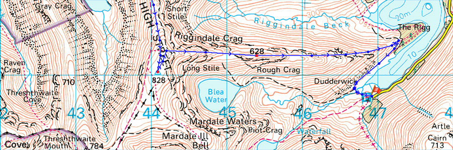
Todays walks takes twelve two thousand foot summits along the ancient High Street Roman Road starting in Martindale and ending in Mardale which of course would require the use of two cars and one early start.
Both David and myself have also combined the walk as we have done on previous occasions where we can both collect summits and tarns without altering the route too much.
Logistically the drive between both valleys looked at lot worse on paper than it took to actually drive which was why the walk was done in a lot lesser time than we had planned, all this under blue skies and a cool breeze across the summits meant that this walk ranks so highly as I cross the half way mark within my campaign.
It all started at Mardale Head before a quick gear swap followed by a dash drive to Martindale. |
|
| Freeman of the Hills |
 |
| 'Walking High Street' |
You have to use your imagination, traversing High Street, to get the flavour of this ancient route, Try to imagine the marching legions rounding the steep crags above the surrounding valleys and the high tarns, often in bad weather, or the Scots invaders working southwards along the ridge to make their raids into the dales. The faint track that goes up the steep side of Froswick from Toutbeck Park is where raiders came down from heights, and today we call this 'the Scotts Rake' |
| Harry Griffin |
|
|
| |
|
Overview |
|
|
| Ascent: |
3,864 Feet - 1,178 Metres |
| Summits Over 2,000Ft: |
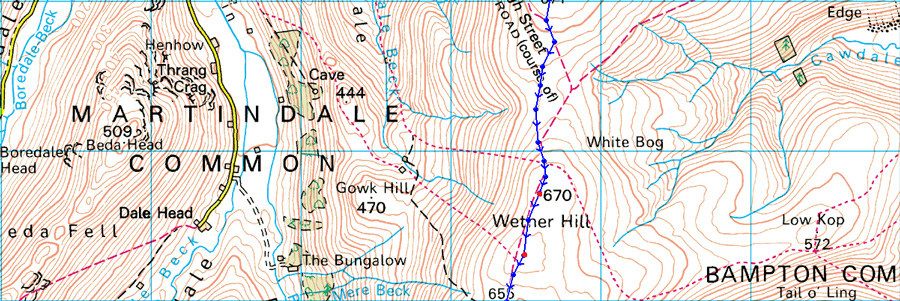
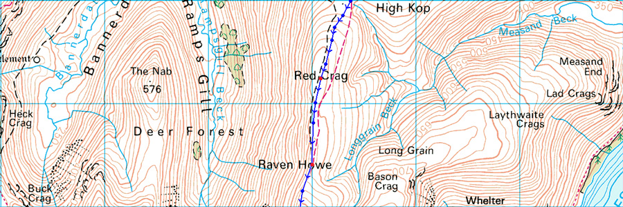
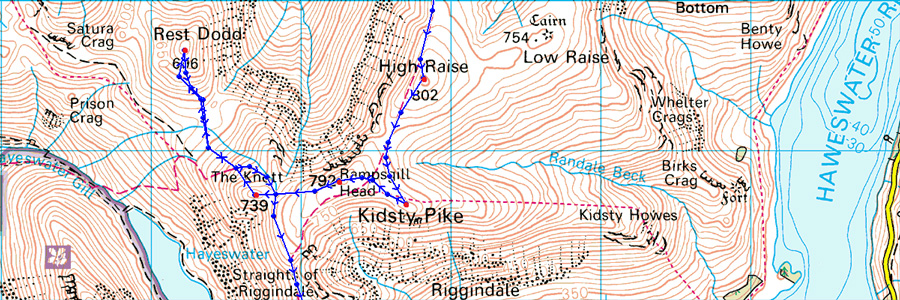
Loadpot Hill - Wether Hill (NY 456 167) Wether Hill (NY 455 163) - Red Crag - Raven Howe - High Raise - Kidsty Pike - Rampsgill Head - The Knott - Rest Dodd - High Street - Rough Crag |
| Weather: |
Warm and sunny, cool breeze across the summits. Highs of 18°C Lows of 8°C |
| Parking: |
Using x2 Cars, Martindale New Church - Mardale Head, Haweswater |
| Area: |
Far Eastern |
| Miles: |
12 |
| Walking With: |
David Hall |
| Ordnance Survey: |
OL5 |
| Time Taken: |
7 Hours 10 Minutes |
| Route: |
Martindale New Church - Howtown - Fusedale - Brock Crag - Loadpot Hill - Wether Hill - Red Crag - Raven How - High Raise - Kidsty Pike - Rampsgill Head - The Knott - Straights of Riggindale - High Street - Rough Crag - Mardale Head |
|
| |
|
Map and Photo Gallery |
|
|
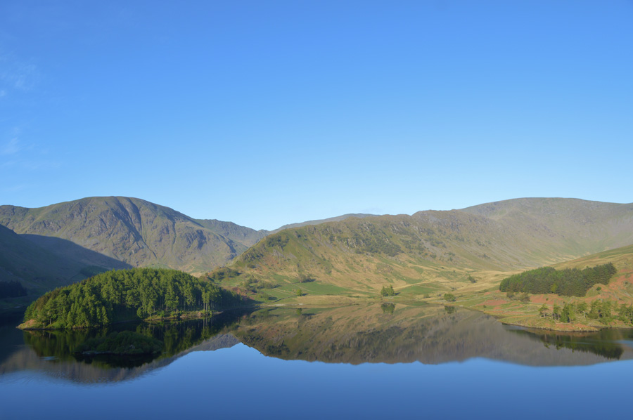 |
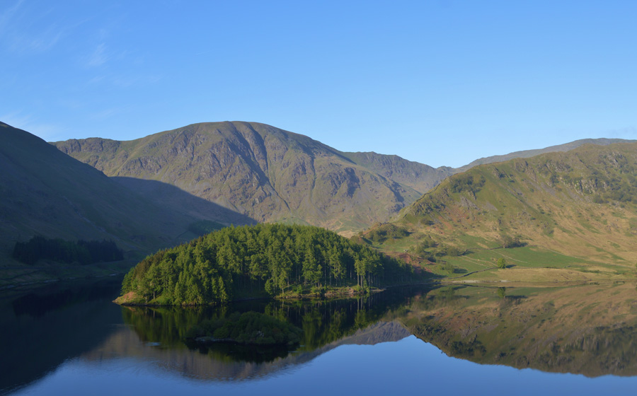
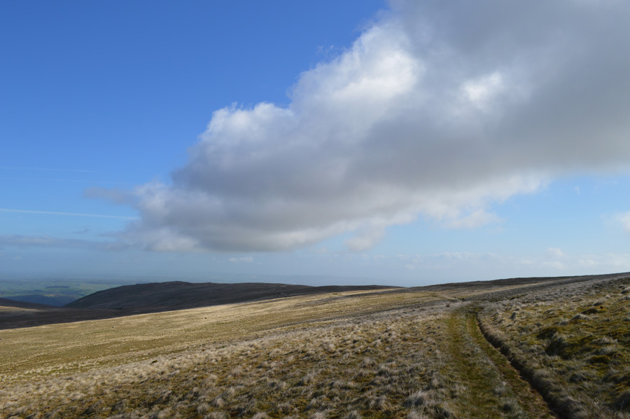
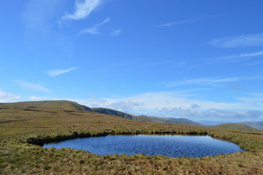
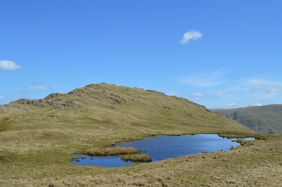
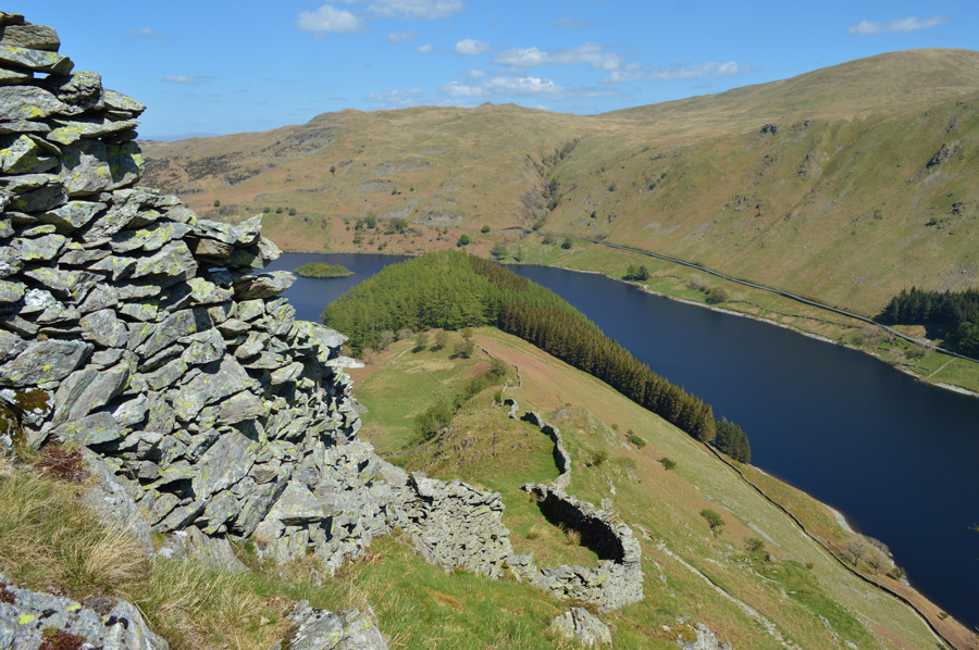
| Rough Crag reflections 07.00 am |
| We had arranged to meet at Mardale Head at 07:15 am. I arrived close to 07:00 am shortly followed by David, I guess we had the same idea to take a few photos before the agreed meeting time given the fantastic conditions, Haweswater this morning was like a mill pond. |
 |
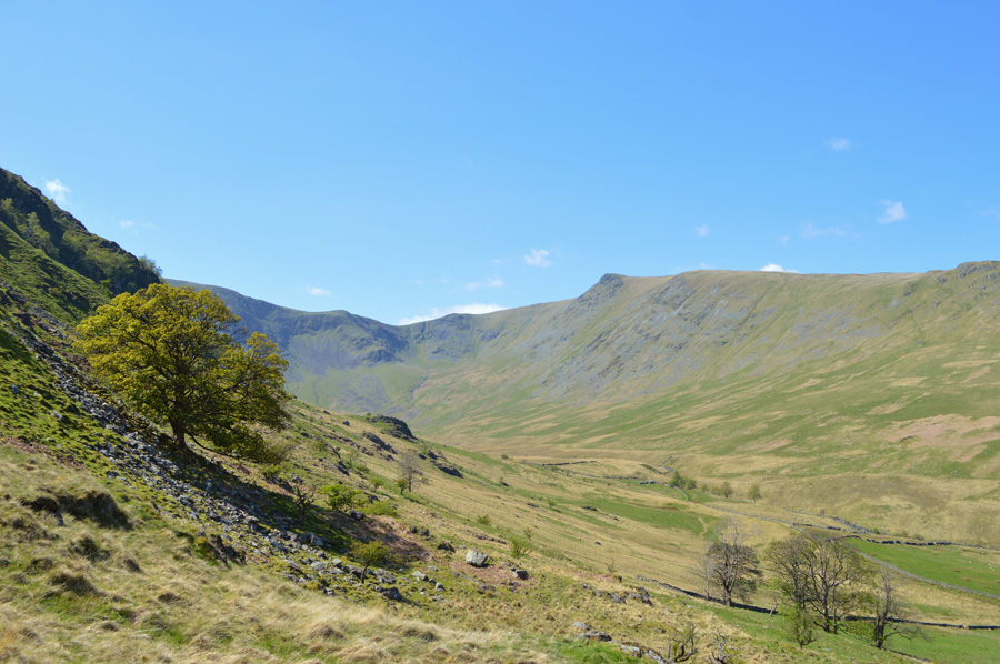
| Harter Fell and The Rigg. |
| |
 |
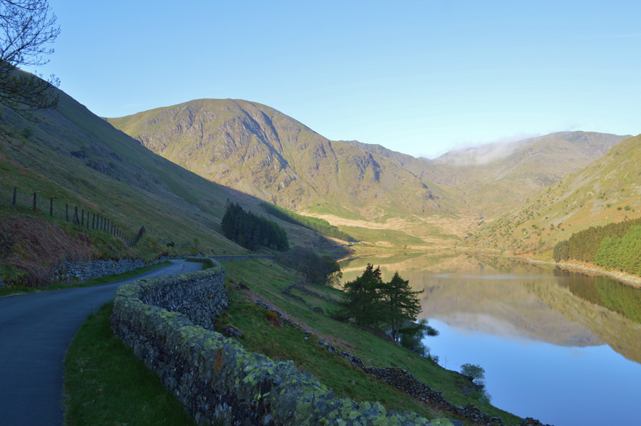
| High Street and The Rigg. |
| Taken a little further down the Mardale Road here looking towards The Rigg, Rough Crag and High Street. With the shadow of Branstree the air is cool and there's still a little mist about the summit tops. |
 |
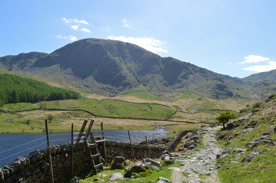
| Harter Fell over Mardale Head. |
I stopped again further down the road where I left the car running such the entrapment of Mardale this morning, it was only when I take a look back do I realise I'm now blocking David from passing! We greet each other with a smile and a handshake as David also explains 'I couldn't help but stop to and take a few photos.
After a brief chat we drive down to Mardale Head where we agreed David would leave his car and I would take in the drive back to Martindale via Bampton, Helton and Askham a journey that would take us around half an hour yet given both our early arrivals this would still leave us in good stead for a early start. |
 |
| Rigg reflections. |
| With David's gear swapped over into my car we headed out of Mardale Head back up the Mardale Road, not before passing mutual friend Maggie Allen along the way, if your reading this Maggie we just missed each other by seconds as you pulled on to the car park. |
 |
| Martindale New Church. |
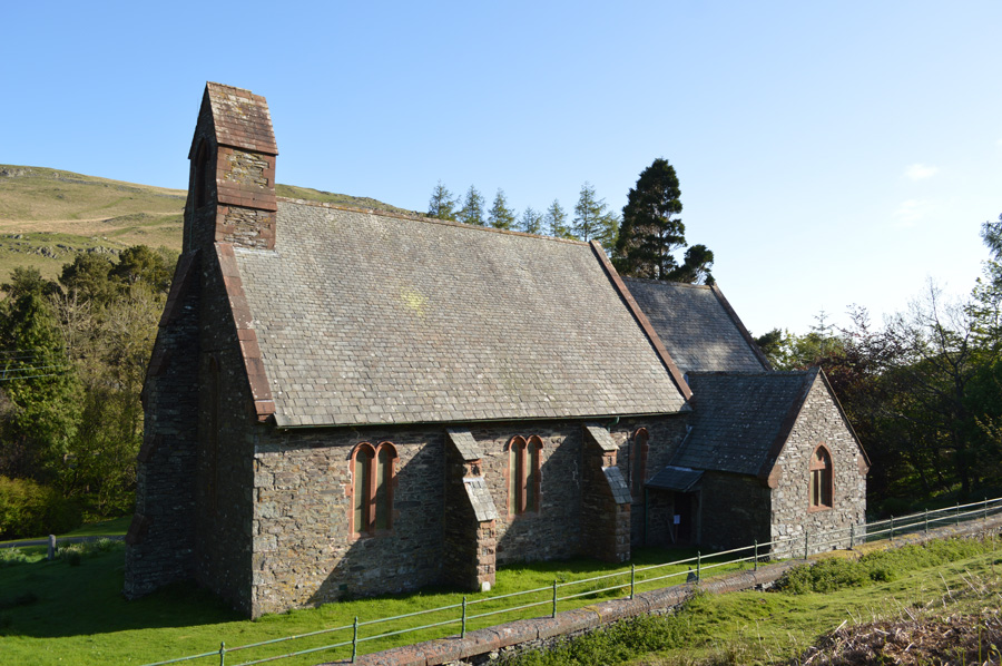
Just over half an hour later we found ourselves at Mardale New Church where we left the car in the parking spaces under the shade of Hallin Fell. The air was cool with no wind, over the morning chorus of the Ravens we round the back of the church where we would pick up our path towards Fusedale and Mellgaurds.
Ullswater reflected in a deep blue as distant sail boats set out to enjoy a day on the Lake, meanwhile our route onto Brock Crag via Mellgaurds was obscured by a strong sun leaving one flank of Fusedale completely in shade. David asked me about a project I'm doing with a local primary school on the subject of the Lake District (watch this space) and how it was going, something of which I'm very much looking forward to being involved in over the next month or so. |
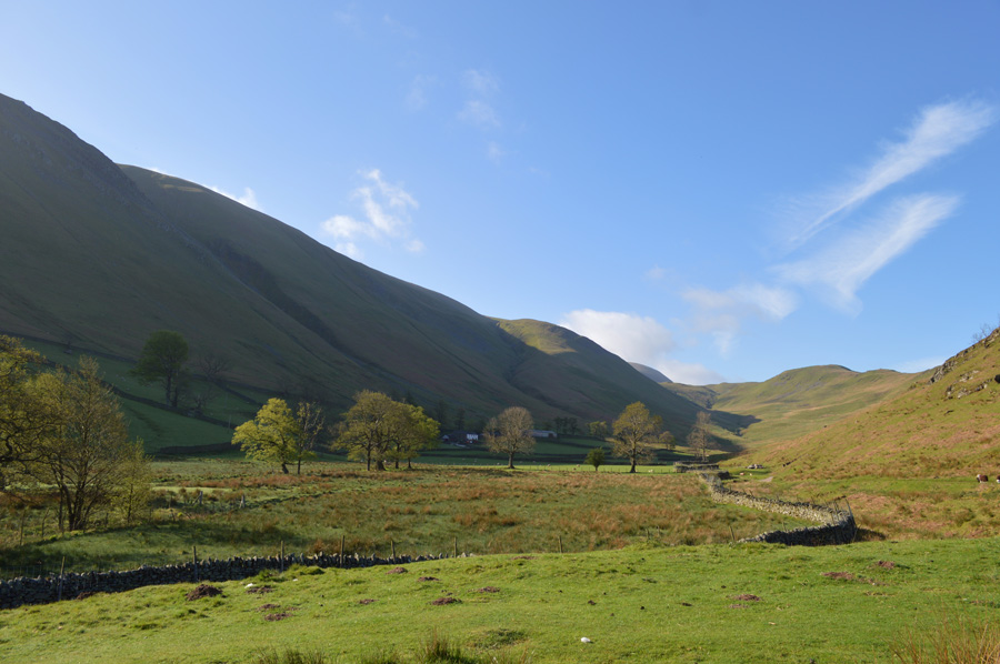 |
| Fusedale. |
We dropped into lower Fusedale under brilliant morning light where we passed an elderly man who had stopped to admire the valley 'lovely day for it' the old gent remarked, with smiles we reply aye.
From Lower Fusedale with hand over eye the sun dips low enough for us to spot our route onto Loadpot Hill via Brock Crag, the same route Harry would have used back in '77' The path starts around the back of the old Farm stead of Mellgaurds which now seems to be in private hands, but first we had to cross Fusedale Beck via an old stone clapper bridge before passing through two wooden gates.
Once behind Mellgaurds the path was spotted quite easily which forked further up towards Bonscale Pike or our destination Brock Crag. David had mentioned sometime earlier that he knew of a path here but wasn't sure if when the Bracken is high it would be completely hidden, he wasn't wrong. Young green chutes of Bracken were already sprouting from the fell side and given the lateness arrival of mother nature this year this path would most definitely be hidden from view in a few weeks time which was another reason why this walk was brought forward. |
 |
| Hallin Fell and Ullswater seen from the steep climb onto Brock Crag. |
| |
 |
| Steel Fell (Pikeawassa) over the Fusedale Valley. |
| |
 |
| Here, looking back on Howtown Bay from our shaded ascent. |
| From Mellgaurds we followed and picked away at the fellside in an almost vertical manner before reaching the narrow path seen further up, we could have detoured left where we would have met the path from the start but we didn't see any point in doing this, steep is direct so to speak. With the path met the gradient eased a little as we flanked the fellside steadily before reaching a gill from where the path steepens to a point where walking poles met shoulder height. With no false summits we hit the path hard knowing that we would shoulder out on Brock Crag with only a little ascent left before reaching Loadpot Hill summit. |
 |
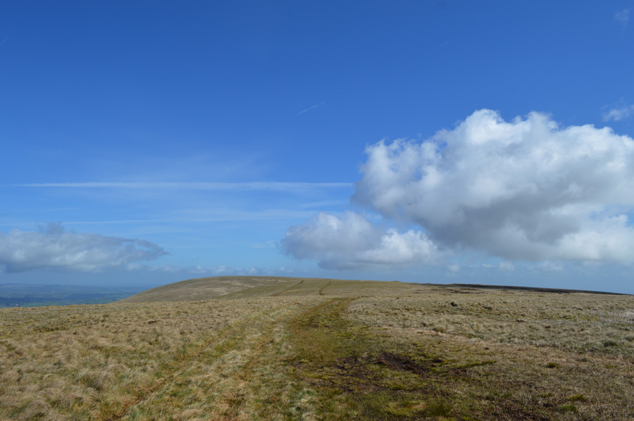
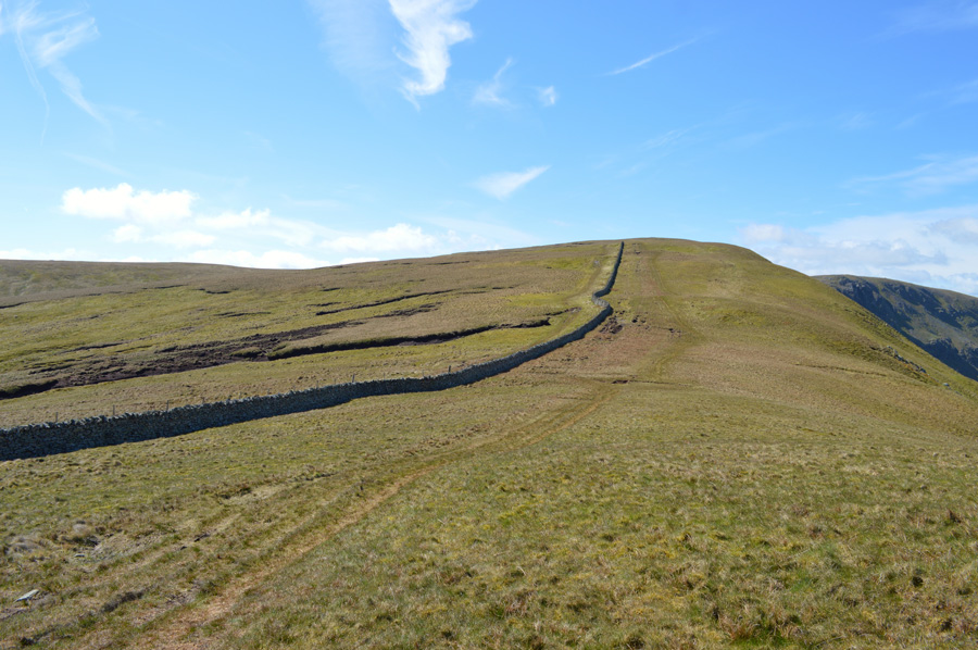
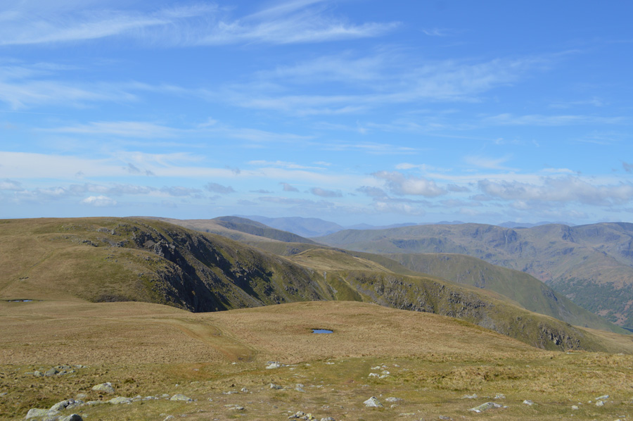
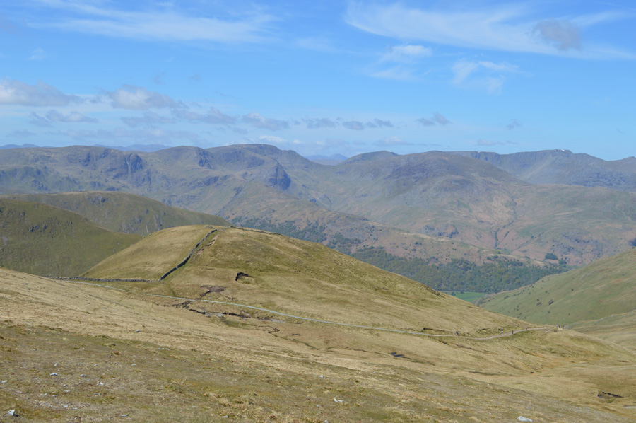
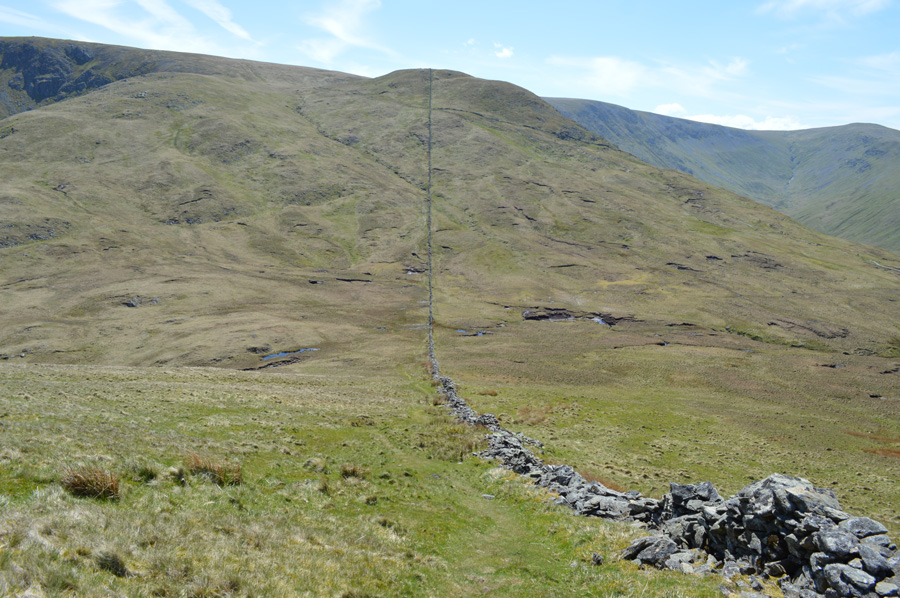
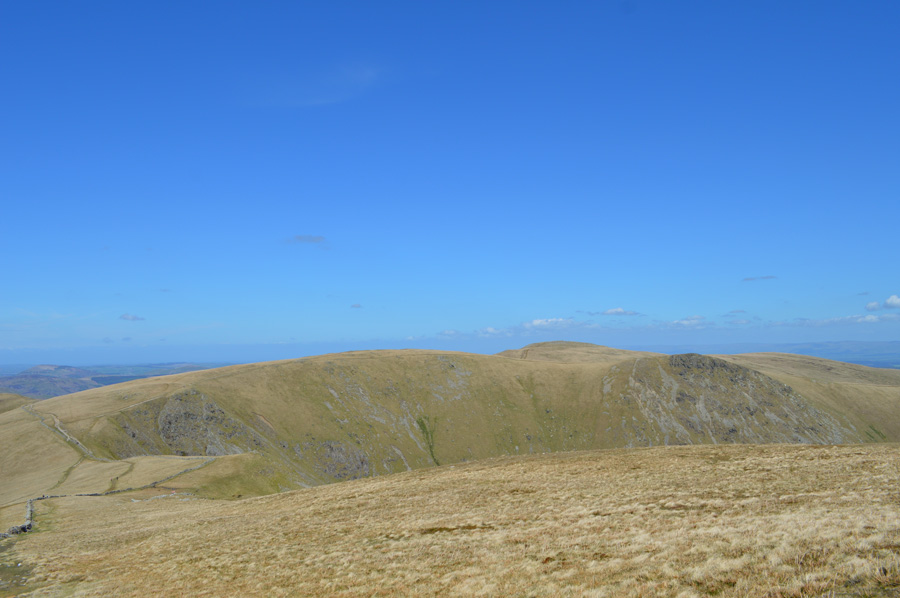
| Looking back on Arthurs Pike from the course of the High Street Roman Road. |
| During the last few moments we had notice the sun dissapearing behind a large cloud which cast large shadows back along the ridge towards Arthurs Pike, behind us and to our left the small ascent needed to collect the first two thousander of the day. |
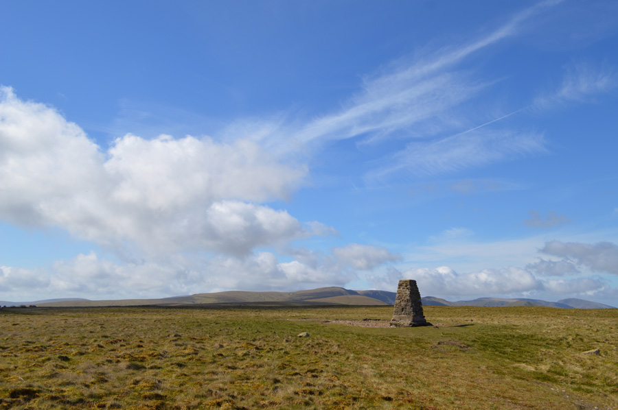 |
| Loadpot Hill. |
| We soon arrived by a pathless ascent, due north of the summit itself sits one of many Boundry Markers found along the ridge as we make a slight de-tour to pay a visit. |
 |
| Wether Hill from the remains of the Lowther Chimmney. |
We possibly spent more time at the Lowther Chimney, formally a shooting lodge than we did at the summit itself, mapping out the concrete floors with our walking poles which went onto show that the old shooting lodge was of quite a large scale possibly even two buildings which spread across the path as we know it today.
Ahead hours of fabulous walking collecting more summits along the way, starting with Wether Hill seen next along the ridge. |
 |
| Wether Hill summit cairn. |
| Within no time and after passing a fell runner we soon found ourselfs at Wether Hill summit, this is the first two thousand foot summit found on Wether Hill. |
 |
| And, this is the second (NY 455 163) |
After leaving the main summit behind we trace away towards the second summit seen before a depression along the summit plateau before a gentle rise, there is no cairn to be found at the highest point.
Next, is Red Crag, found just over half a mile of gentle walking as we continue along the course of the High Street Roman Road. |
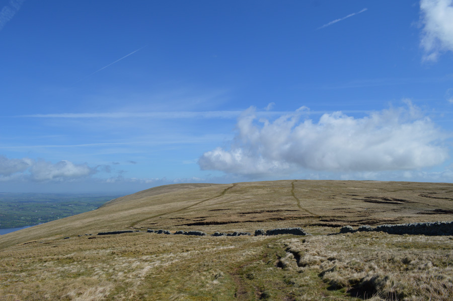 |
| Wether Hill from our Red Crag ascent. |
| |
 |
| Red Crag summit cairn. |
After a gentle rise we found ourselves at Red Crag summit, a summit that is easily missed and can be difficult to locate in bad weather. The stone cairn is found on the other side of a wire fence, which I guess, would have been easy to photograph without climbing over, however a summit is a summit as I down walking poles and scale the tightly sprung wire fence which wasn't without incident as I got caught in a moment where the wire rippled beneath my weight, David being David wouldn't see me struggle as he grabbed my arm and proceeded to give me a gentle 'push' - wait! to late, I was over.
Now that's what mates are for, Ger over lad! |
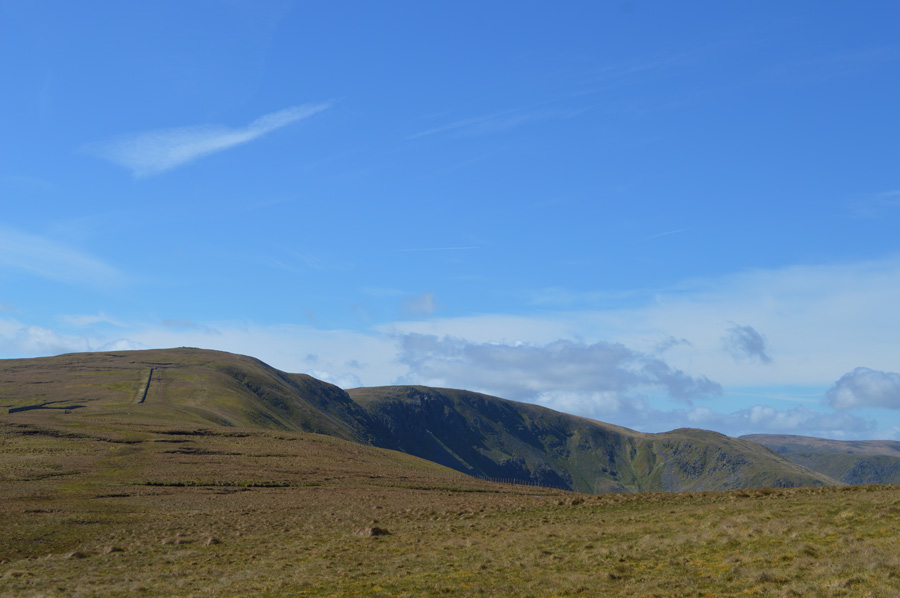 |
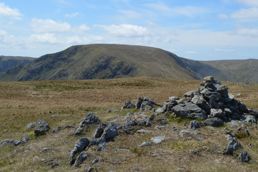
| Raven Howe, High Raise and Rampsgill Head. |
We had started to rattle off summits by the time we left Red Crag and was soon on our way to our fith summit of the morning of Raven Howe, a two thousand foot summit found between Red Crag and High Raise.
But, seeing as we are on a combined 'Griffin and Tarn walk' we make a stop off at Red Crag Tarn first. |
 |
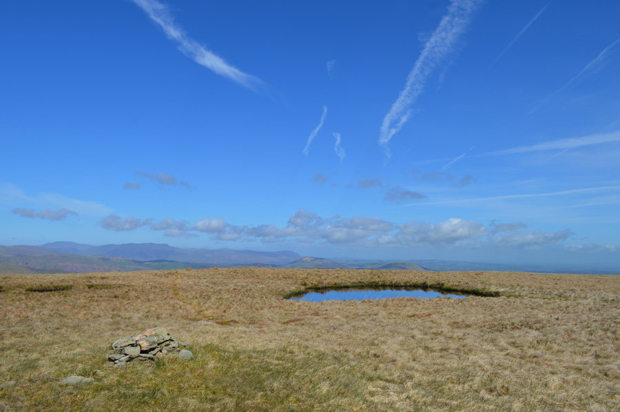
| Red Crag Tarn. |
Before reaching Red Crag Tarn we had spoken of just how deep it seems as David went onto say its base is most possibly rock as the tarn always seems to maintain its depth. With this we decide to place a three foot walking pole in at the side which was swallowed up right up to the handle, this of course could be the actual depth of the tarn, but, it could also be about six feet for all we knew! Best keep a wide berth when the cloud is down.
Talking of being swallowed up before David reached Red Crag Tarn he almost lost his boot and shin in what appeared to be a muddy puddle, the scary thing was that the mud left no boot print at all.
Red Crag Tarn provided David with ample water to get his boots and trousers cleaned up although I did mention after the 'gentle nudge' over the wire fence earlier should he fall is he was on his own. |
 |
| Rampsgill Head, The Knott and Rest Dodd from Raven Howe summit. |
| |
 |
| The path upto High Raise from Raven Howe. |
| Seeing as Raven Howe isnt generally on everyones walking list including our own at times we found ourselves on the 'wrong side' of the wall, or so it would seem as you can see a fine path on valley side is favoured as we head up to collect High Raise. |
 |
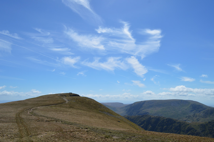
| High Raise summit cairn. |
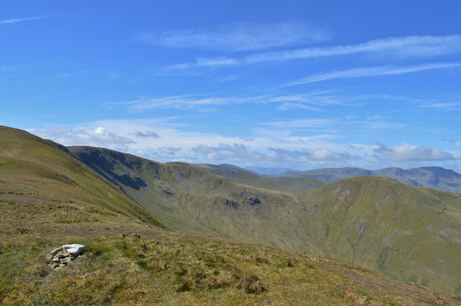
| By the time we had reached High Raise we could see more and more walkers heading in both directions back to Loadpot Hill or indeed, Kidsty Pike and High Street. Just shy of the summit a group of mountain bikers take a rest over looking grand views of the eastern fells where summits such as Helvellyn through to Fairfield still had patches of snow on them, be good to see some snow in June David remarks... |
 |
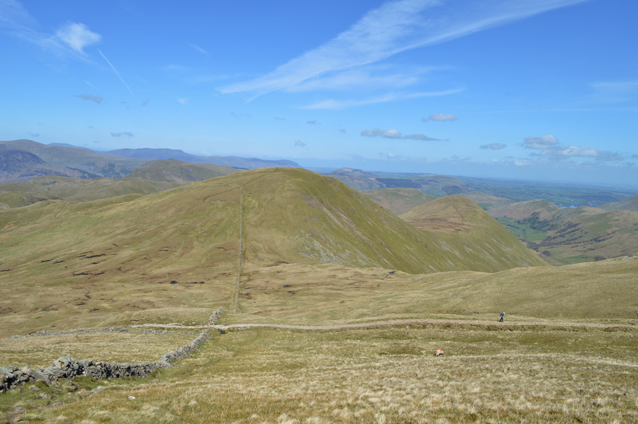
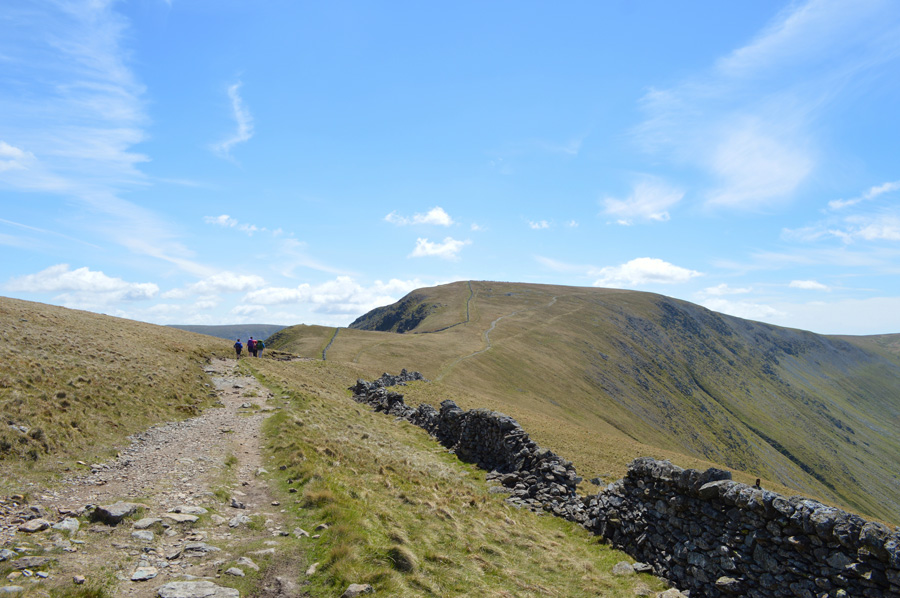
| Rampsgill Head seen shortly after leaving High Raise. |
| High Raise marked the half way point of the twelve summits collected on todays walk, next we take in the gentle descent to Kidsty Pike before a cross over to Rampsgill Head, when for me, the gentleness of the walk is taken away, but all that is in a little while. |
 |
| High Street and Mardale III Bell from Kidsty Pike. |
| We arrived much at the same time as a couple as we pass on familiar greetings, the breeze has a cool nip to it which we hadn't felt all morning. Summit time was spent looking down into Riggindale and for me, planning a future walk. |
 |
| Looking back on Kidsty Pike with Harter Fell in the distance. |
| |
 |
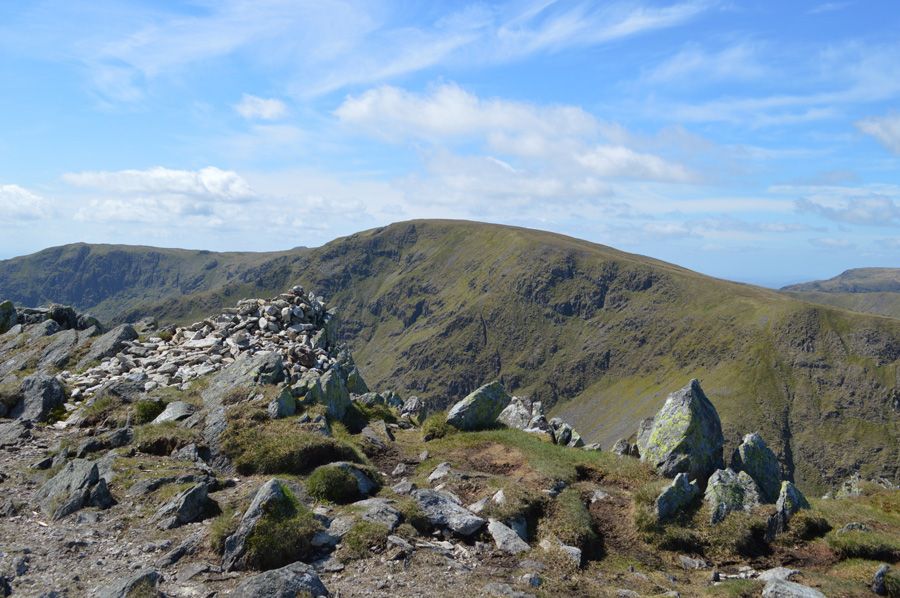
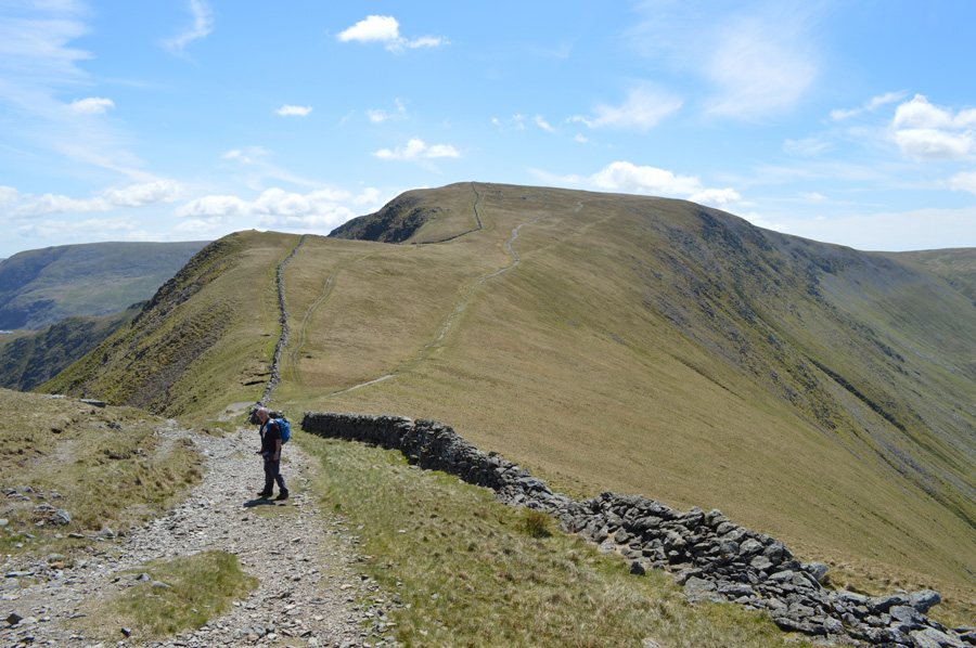
| High Street from Rampsgill Head summit cairn. |
| For me this is where the nerves started to build as I push aside the mornings gentle ridge walk with an ardous switch back from The Knott to Rest Dodd and back again. |
 |
| Descending Rampsgill Head for The Knott. |
| From our descent we could now see large groups of walkers some we later learned turned out to be walking the Coast to Coast as we commented on why they all missed out on summiting The Knott with the odd exception from a solo walker. |
 |
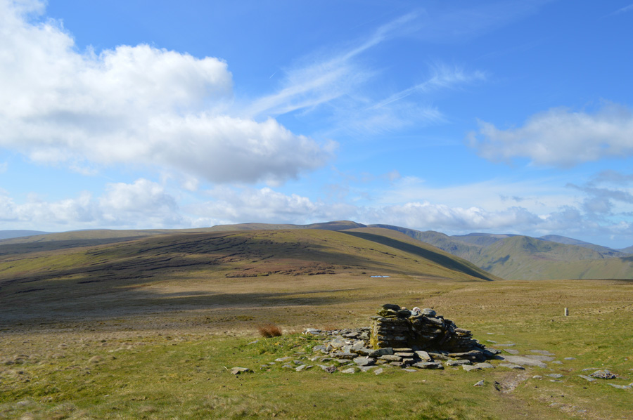
| The Knott summit cairn. |
Although we have enjoyed great walking and easy summit collecting this was soon about to change for me as I needed to do the 'out and back' to summit Rest Dodd from The Knott, the switch backs or 'out and backs' are common and I am actually starting to enjoy them as they pose a challenge and an unusual twist to what could be considered as just an ordinary walk, however despite the numourous 'out and backs' already under taken, this one is going to be one of the longest and steepest combined first losing 500 ft then having to regain a further 370 ft in gaining Rest Dodd, then to do it all again on the return.
During the early planning of this walk I again gave David the option to either join me or 'better' look after my pack, which he duly did for me, I simply couldn't expect David or anyone to join me on the 'out and backs' more so when today David has his own plans to collect two tarns towards the end of the walk. |
 |
| Rest Dodd and The Nabb as I start my descent from The Knott. |
| After a quick bite to eat and gulp of hydration I leave David with my pack, the time is 12:40pm, sadly the photo doesn't depict just how steep my descent was as my route will follow the stone wall from summit to summit, down there you can see that the stone wall drops away from The Knott - in keeping with the wall I had no option but to follow the best lay of the land which tracked me through wet marsh between both summits, ultimately slowing me down to walking pace. |
 |
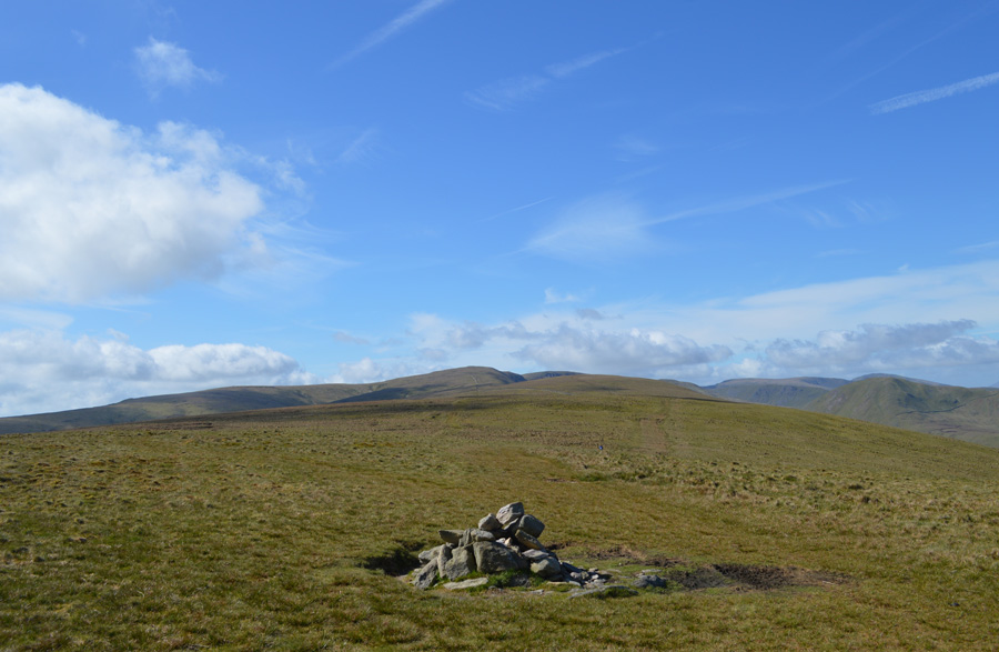
| Rest Dodd summit cairn. |
| After passing through the marshland between both summits I took on the steep climb not stopping until I reached the summit cairn where I found a solo walker eating lunch with his back to me, after this photo I turned back around again without him ever knowing I'd been there. |
 |
| Now to do it all again. |
I managed to pick up a little speed during the descent but again was slowed down once I reached marsh below, by the time I was ascending The Knott again my heart was thumping through my chest and the sweat from my forehead blocked view as it rolled into my eyes, the sight of a couple of walkers on the path above me spurred me on, I was to later overtake them.
Time taken between both summits was forty four minutes including the diversions around the boggy bits between both summits, by the time I arrived back at The Knott David was lied back enjoying a bit of quiet time, it was only my heavy breathing that disturbed him! where after, I collapsed into a heap my heart still thumping out of my chest.
Shall we have some dinner now? my only reply was 'I'm getting to owd for this David!' |
 |
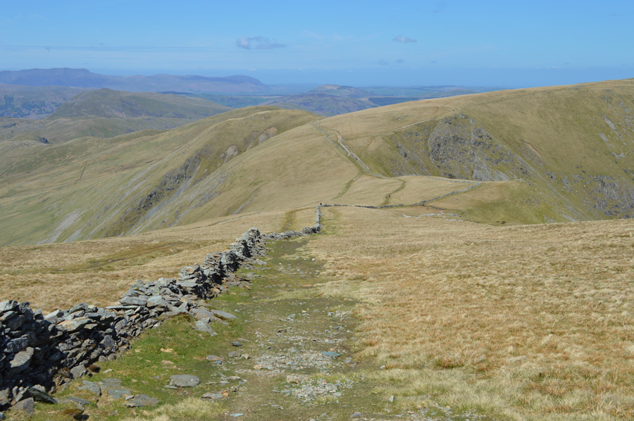
| High Street seen over The Straights of Riggindale. |
| After downtime we re-shouldered and found our way back onto the path seamlessly fitting ourselves into groups of Coast to Coasters all carrying large heavy packs which is considered to be their Day Five 'Patterdale to Shap' |
 |
| What is considered to be my favorite view of my beloved High Street. |
I wasnt too sure if David had heard the conversation between the two groups of walkers but judging by this look he had picked up on an English couple asking an American couple where exactly they were, the American couple went onto say judgementaly 'well thats Hayeswater down there' where exactly do you want to be'
A surreal moment if there ever was one.
Which side of the wall do you want to summit by Paul? left or right? defintely left... |
 |
| Looking back on Short Stile and The Knott over The Straights of Riggindale. |
| |
 |
| And further around, Kidsty Pike and High Raise. |
| |
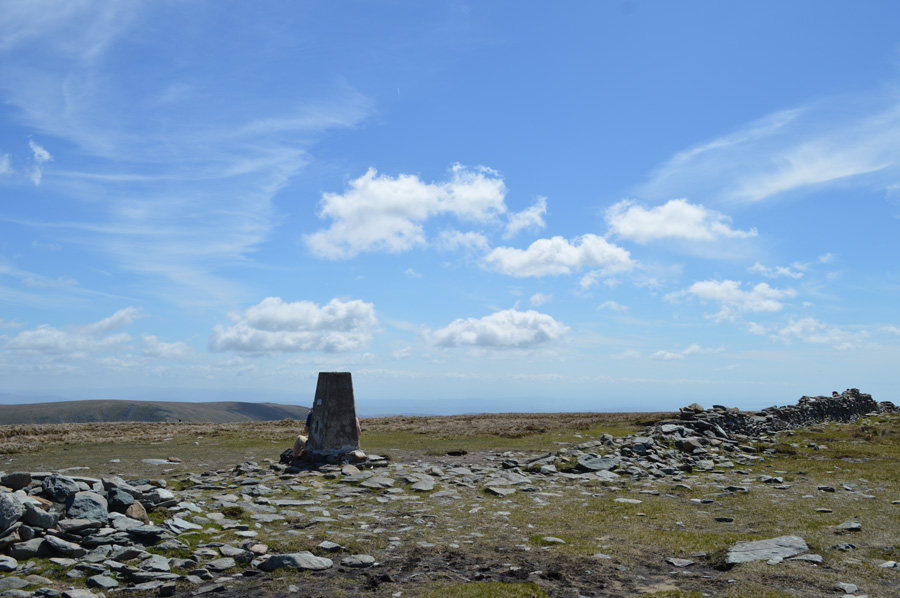 |
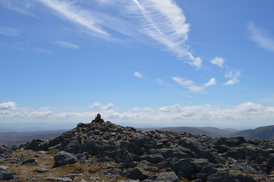
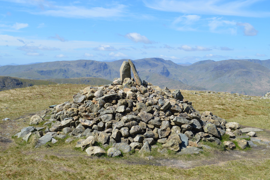
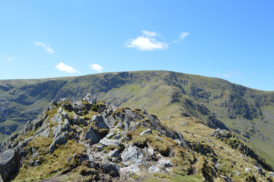
| High Street summit Trig Point. |
The photo really doesn't depict just how busy the summit actually was, by the time we arrived large groups had massed around the Trig Point as I only manage a 'budge in' scratching my wedding ring across the concrete face of the column as I do on every visit to High Street, if only for a keep sake for when my legs wont carry me here anymore.
Most of the group disbanded with the exception of the couple seen sat on the base of the trig point who simply would not move or find the courtesy for us to photograph the summit as we would have liked, oh well never mind. |
 |
| Descending High Stile. |
Around the top half of High Stile groups congregated some of whom were mostly children and parents, collapsed in heaps due to the difficult climb under warm sun. Below more walkers where still heading up as we pause and let them pass.
Soon David would leave me after collecting Caspel Gate Tarn and Blea Water to go on further and gain ground on Small Water as I would continue to collect the last two thousander of Rough Crag before meeting him back at Mardale Head, our timings went loosely on 'we should get back roughly at the same time' which when you thought about it, we didn't think we would be far wrong. |
 |
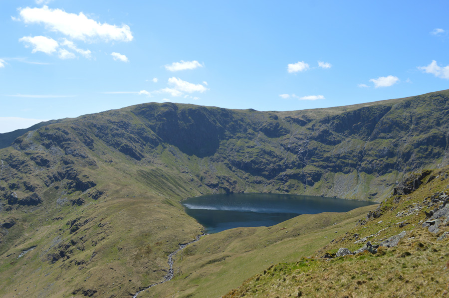
| Magnificent Blea Water seen here with Mardale Ill Bell north ridge. |
| |
 |
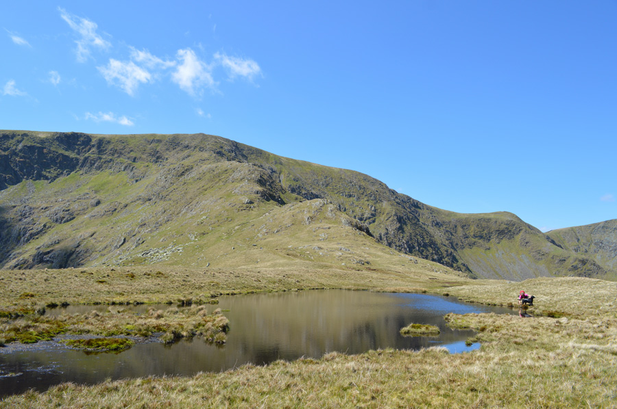
| Rough Crag from Caspel Gate Tarn. |
| We both choose to walk around the far end of the Tarn to each get a couple of photos before David would take off towards Blea Water. |
 |
| High Street and Long Stile from Caspel Gate Tarn. |
| By the time we had found our way around the tarn a large group including their dogs had descended Rough Crag and indeed the tarn, we managed to get our photos before tennis balls were thrown and dogs went in after them, a great way I suppose for the dogs to cool down. |
 |
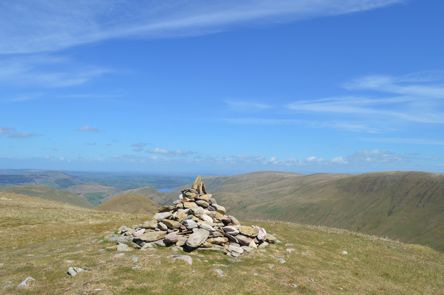
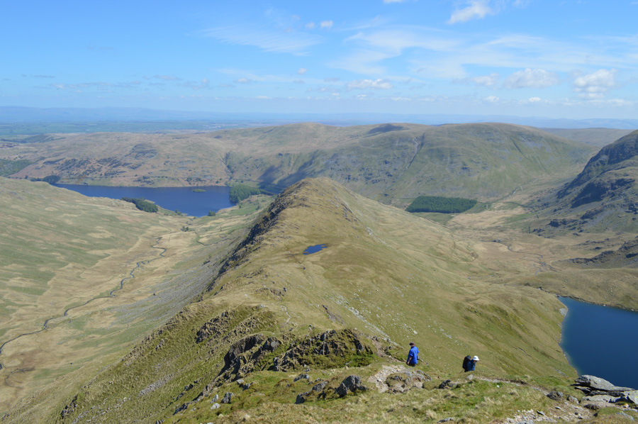
| Long Stile and High Street from my final summit of the day in Rough Crag. |
| I simply couldn't think of a finer summit to end a walk on than High Street's Rough Crag, all that was left was to enjoy the ridge back to Mardale where hopefully both David and I should meet give or take a few minutes. |
 |
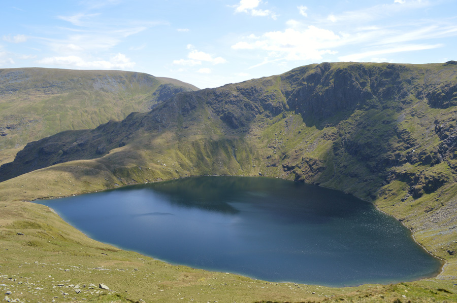
| Blea Water. |
| David is in this photo, sadly my zoom wasn't large enough to pick him out clearly enough but he's somewhere around the left bottom corner...I best get a move on. |
 |
| Bearing down on The Rigg. |
| Having only passed one more couple making an ascent on High Street I take on the twisting steep descent that will lead me towards The Rigg and finally the path back to Mardale Head. |
 |
| Kidsty Pike domminating the valley of Riggindale. |
| After descending Swine Crag I was almost back at Valley Level where I could enjoy the comfort of smooth grass underfoot with extended views back into Riggindale and the summit of Kidsty Pike. |
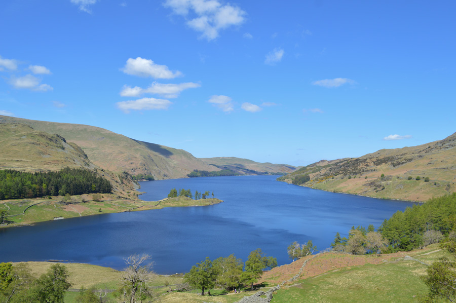 |
| Haweswater looking remarkably full again which was nice to see. |
| |
 |
| Harter Fell dommineers Mardale Head from the shore path. |
It seems I am in no rush to get back to Mardale Head despite myself and David branching off separately it would seem I and we have made incredibly good time in collecting our respective summits and tarns.
I head back to Mardale Head stopping to admire views kicking stones along the way under a rather hot mid afternoon sun, my walking poles flank my sides ready for another walk on another day. Ahead I spot a solo walker coming down from the direction of Small Water, if my timings are right we will indeed meet at the gate close to the car park but I am wrong, it isn't David. I spot a large boulder close to the car park where I tell myself that's where I'll wait, after all, from my vantage point he is nowhere to be seen, a glance back up towards the direction of Small Water and I spot another figure heading down, their walking poles are catching glances from the sun - surely this is David, behind me the car park is full as I spot movement close to Davids car, its only David sat down eating an apple. I've been here for....I wouldn't let David finish his sentence laughing at the same time all the while putting a close on possibly one of the finest walks within my campaign, until next time that is. |
|
| |
| Back to top |
 |
|