|
The Harry Griffin 2,000 footers Walk 2 -The fringe of Lakeland |
 |
 |
8th March 2015 |
 |
|
It's fair to say that right now within the depths of March the fells are still recovering from winter, some of the higher summits over the Park still hold onto winter conditions whilst others below the snow line are saturated and sponge like, March 2015 is proving to be a difficult month to plan long arduous walks by.
When I first penned the routes after reading Freeman of the Hills my enthusiasm would at most times get the better of me, controling the routes had to coinicide with the weather as I found that still early into the project, I am at the mercy of said forecast.
Two weeks ago on my first tour of the 2,000 footers I picked up an injury on my right calf muscle which seemed to have over stretched the muscle itself, retraction of the muscle takes time which is why as a precaution today I have it strapped up from the knee down if not only for support for both body, and mind.
After reading through my notes I again found myself looking down at a less ardous route from the book which worked well with ground conditions & the niggling injury that I had picked up, the only thing that could make this walk any better than it turned out was the fact that it had been planned from the less frequented far eastern valley of Longsleddale taking in a fantastic selection of far eastern summits that I have grown to know & love.
|
|
| Freeman of the Hills |
 |
| |
'The fringe of Lakeland'
It was a wet, misty morning although the clouds were fairly high on the tops and the rain stopped later, even giving us a few patches of sunlight on the last trot down to the valley. |
| Harry Griffin |
|
|
| |
|
Overview |
|
|
| Ascent: |
3,289 Feet - 1,003 Meters |
| Summits over 2,000 Ft |
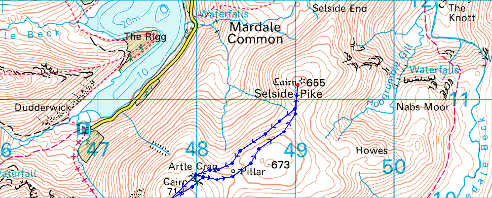
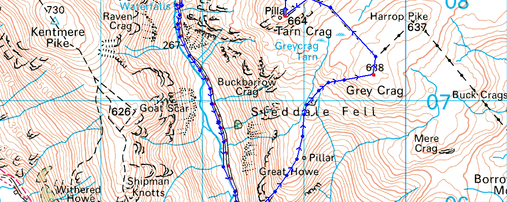
Grey Crag (Longsleddale) - Tarn Crag - Branstree - Selside Pike - Adam Seat |
| Weather: |
Sunny Spells turning overcast. Gust across the summits Highs of 9°C Lows of 6°C |
| Parking: |
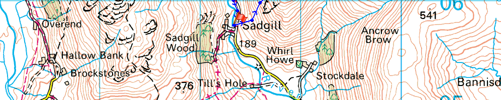
Sadgill, Longsleddale |
| Area: |
Far Eastern |
| Miles: |
9.6 |
| Walking With: |
On my own |
| Ordnance Survey: |
OL5 |
| Time Taken: |
6 Hours 30 Minutes |
| Route: |
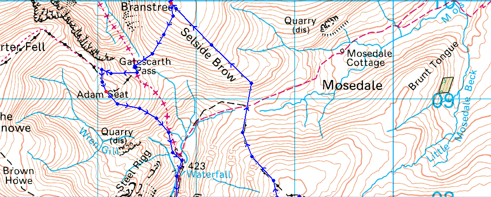
Sadgill - Great Howe - Grey Crag (Longsleddale) - Greycrag Tarn - Tarn Crag - Selside Brow - Branstree - Artle Crag - Selside Pike - Branstree - Gatescarth Pass - Adam Seat - Gatescarth Pass - Sadgill |
|
| |
|
Map and Photo Gallery |
|
|
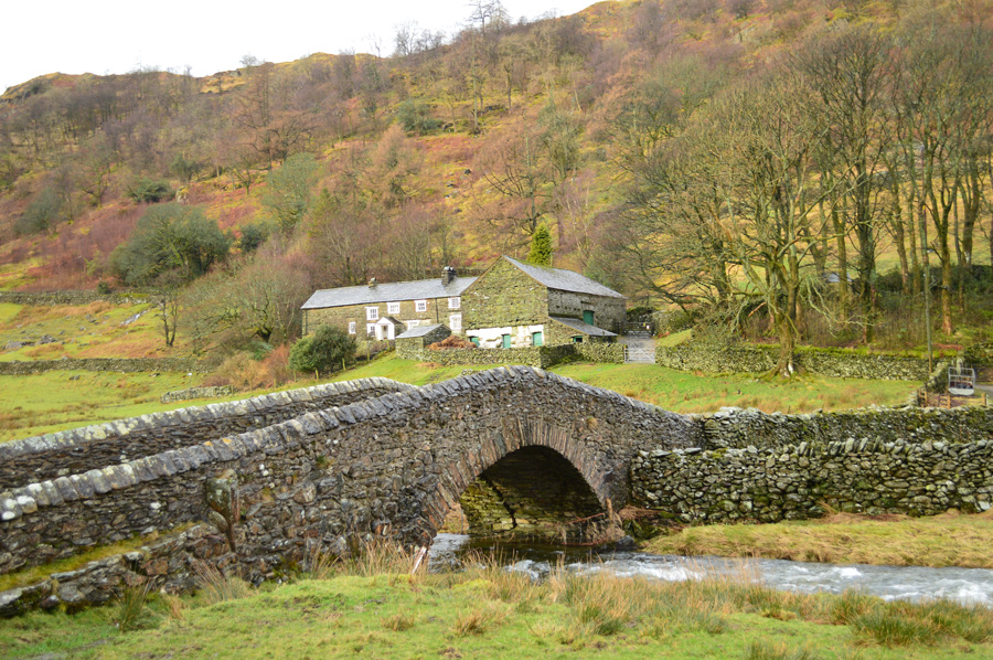 |
| The Packhorse Bridge over the River Sprint, Sadgill 08:18 6°C |
My timing couldn't have been better as I arrived at Sadgill as the rain I had driven through since leaving Wigan had eased off almost completely by the time I had reversed my car close to the stone wall. For most of the short journey through Longsleddale I was followed at distance by a fellow walker who by the time I had opened my door was already walking away from his car as he threw a light pack over his left shoulder, blimey, that was one quick exit.
I kitted up as the skies high above started to show more & more promise with each minute gone by, the air was mild yet I still kitted up for the forecasted strong winds across the summits which saw me reach for the hat & gloves. I deemed to warm to for a heavy mid layer sticking to as I have done since my last two walks of one light T-shirt followed by a long sleeve Berghaus mid layer which complemented the early spring air well.
Before I had chance to close the boot the farmer riding his Quad Bike crossed over the bridge & headed out into the Longsleddale Valley, the engine noise quickly faded as I span around to plot my route up Great Howe. |
 |
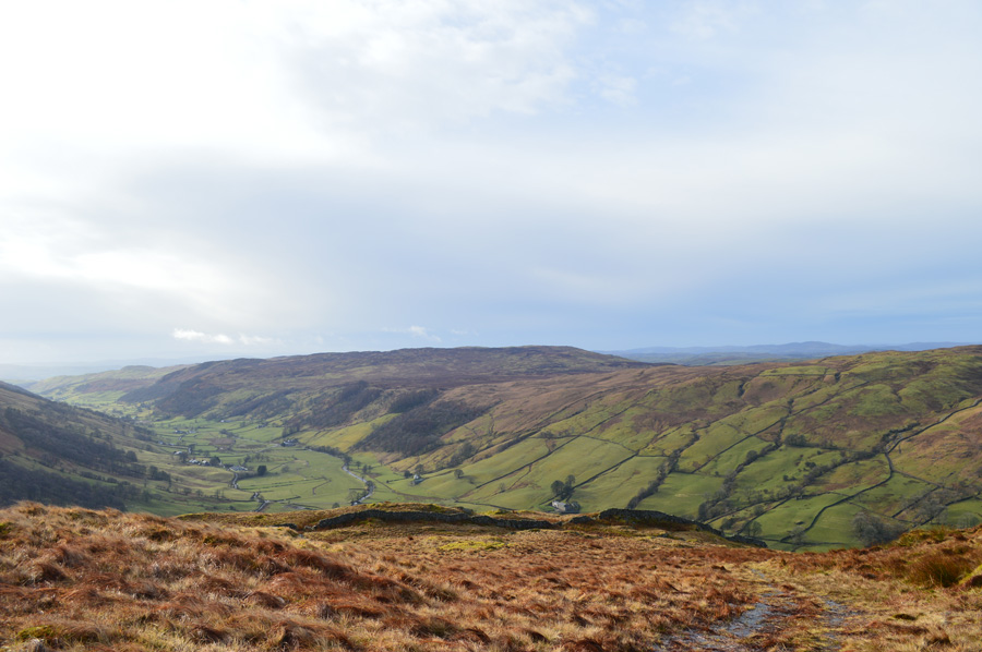
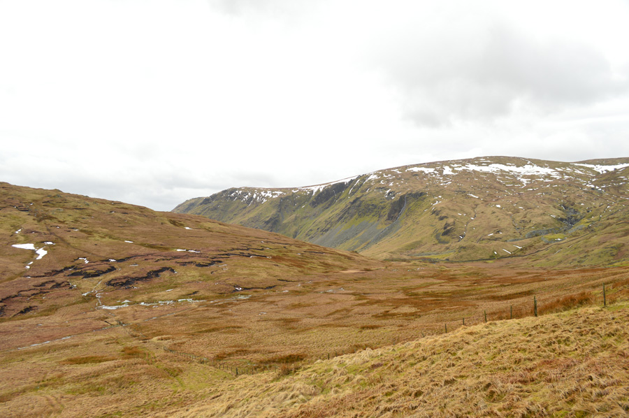
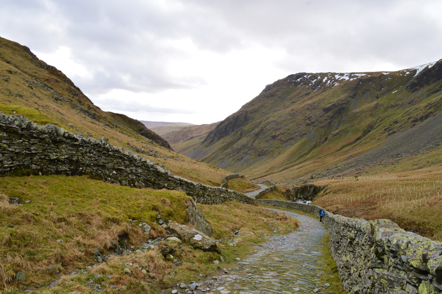
| Looking up the Longsleddale Valley towards Goat Scar & a distant Buckbarrow Crag seen right. |
| Where had all this sunshine come from? The forecasters said I'd be walking in the rain until mid-morning, not that I'm complaining mind. |
 |
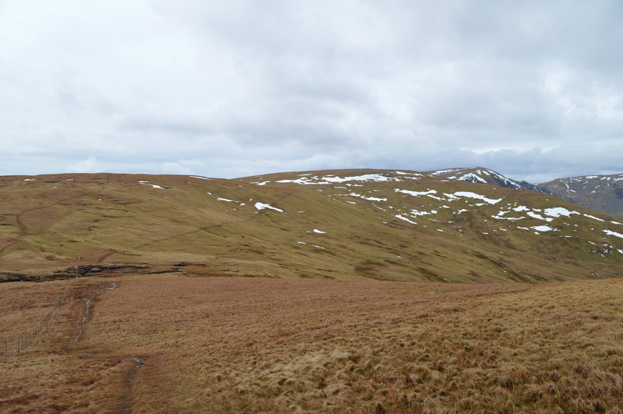
| Heading for Great Howe. |
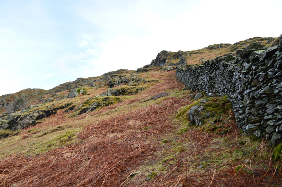
There is no denying that the route up Great How isn't without its steepness made more difficult this morning by the saturated ground underfoot. Shortly before I took this photo I came across a rather high(ish) stone wall that ran horizontal across the fells side, in terms of height I guess the wall matched my chest which also held a slight lean towards me. From afar it was just another stone wall to scale but the closer I got the more I knew this was going to be a bigger problem than first anticipated. The wall was pretty unstable across the top as I struggled to hold onto anything that wasn't going to come away in my hand, below about two feet from the ground the wall builder had carefully placed one large stone for foot purchase but this was so slippy my boot would just slip away each time I went to pull myself over.
By eck...
By now my Jacket & Trousers were covered in green moss as I painstakingly trotted up & down looking for a better place to scale the wall, all to no avail...I had completely forgotten that I was still in full view of the car park a couple of hundred meters below at which point I was glad no one else could witness the abomination I was making of trying to scale the wall, but, was also failing miserably in doing so.
After collecting myself I went for it again this time managing to spur my right leg over the head of the wall whilst at the same time trying not to crack a rib, I don't think I've managed to make a hash of trying to do something so simple as I did just minutes ago.
It was funny afterwards as I laughed that was just like trying to climb over a 6ft high bowling ball...
What a mess that was! |
 |
| Here, over looking Longsleddale from Great Howe. |
It's fair to say that the haul to gain Great Howe is a steep one but rewards were instantly made once I had crested the summit shoulder with extended views back along the Longsleddale Valley.
With the sun on my back I decided not to make a summit of Great Howe, instead flanking it as I steered towards one of the many Survey Pillars left behind by Manchester Corporation during construction of the Haweswater Reservoir & Longsleddale aqueduct. |
 |
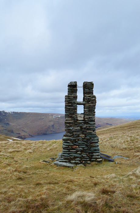
| Grey Crag from the Survey Pillar found on Great Howe. |
My route was as mentioned saturated as I unavoidably squelched my way via a narrow path that flanked Great Howe summit which was just over my left shoulder. The ground underfoot was soon forgotten about as I was accompanied by the welcome sound of Sky Larks, something of which I hadn't heard & had missed greatly since the end of last summer.
It is in places like here amongst the far eastern fells do I find myself at home in, yes I will always yearn for the high altitudes & the pull of gully scrambling but I guess this is really where my heart lies.
I press on. |
 |
| Heading for Grey Crag summit. |
The crossing from the Survey Pillar at Great Howe to the summit base of Grey Crag needed a vigil eye more so as the narrow band of path I was following started to descend ever so slightly, this would work as it still followed the direction of Grey Crag but not the direction I wanted to take if I wanted to keep & maintain height, which meant for some of the path walking through grassy hummocks.
My diversion worked as the path fell away to my right, although I had tracked away there was method in my madness as I soon reached the the singular approach path which lead its way over sodden ground all the way to Grey Crag summit.
Over my left shoulder I spot something move behind a set of fixed boulders only a short distance away, for a moment as I glanced back the thought occurred to me that I had just imagined it as one by one two Deer's emerge from behind the boulders, I expect them to bolt but they just stop & stare before trotting off in the direction of Tarn Crag.
It was quite a surreal moment, the light was fantastic as the Deer showed off their deep brown coats, their curiosity as we locked eyes stayed with me all the way to the summit. |
 |
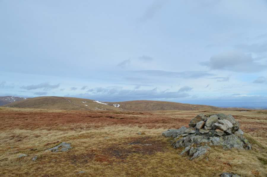
| Grey Crag summit cairn. |
It wasn't long before I arrived at the summit cairn quickly noting that a sudden chill had descended across the summit tops by which point I reached for the hat & gloves that I had taken off during my ascent on Great Howe.
Here Green Quarter & Shipman Knotts can be seen in the distance divided by the Longsleddale Pass as distant views south appear rather murky. |
 |
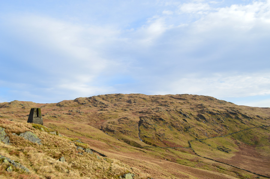
| Harrop Pike. |
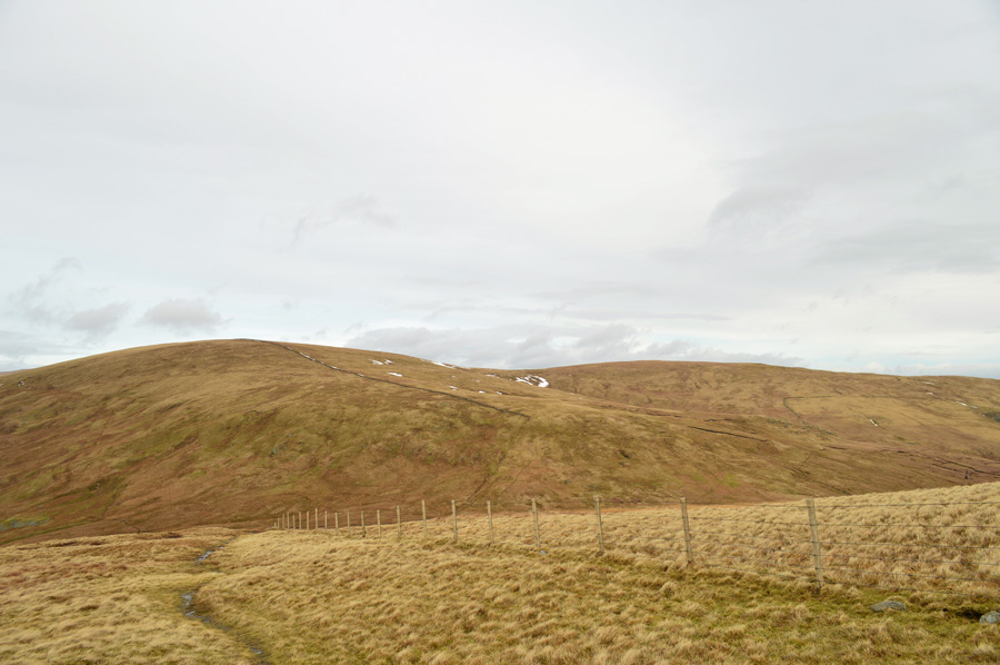
| This is Harrop Pike an outlier in Wainwrights classifications of summits, it also is a summit that I hold dear to my heart due to its isolation amongst the Shap Fells, sadly for me, it's a fell too near today as I stick to my guided plans before heading for Tarn Crag which is found just in the other direction of the wire fence. |
 |
| Grey Crag & GreycragTarn (Dry) |
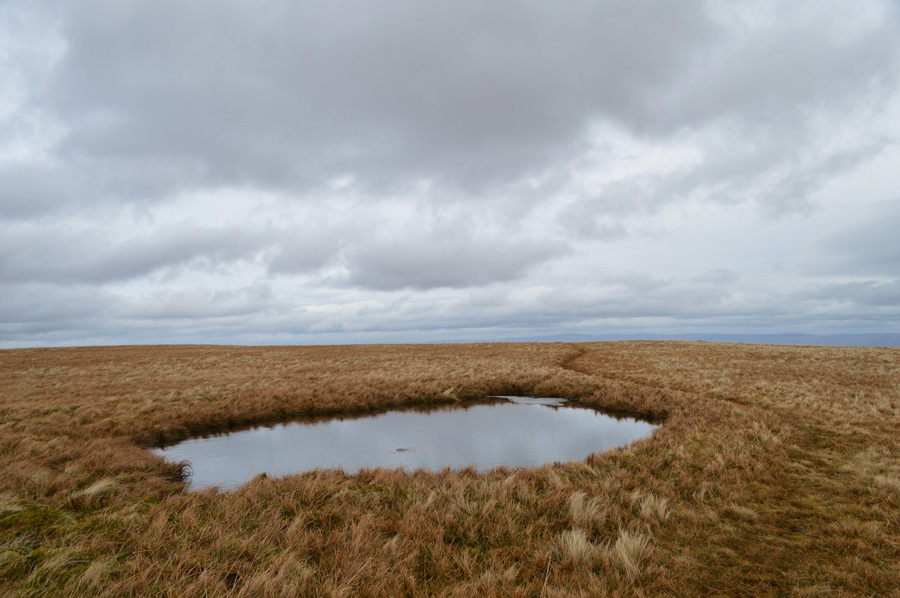
| The area found south of Grey Crag is Greycrag Tarn which is notoriously boggy and best avoided at all costs even during a drought. Two paths skirt the eastern edge of the area both of which are to the left of the fence. |
 |
| Tarn Crag ahead. |
| It pays to switch from path to path across here. To my left I notice the Deer are now right in the middle of Greycrag Tarn their hoofs nimble enough to seemlesly hover over the boggy ground, their ears are fixed firm above their heads like radar detecting my every move until they lose interest before heading once again, back towards Grey Crag. |
 |
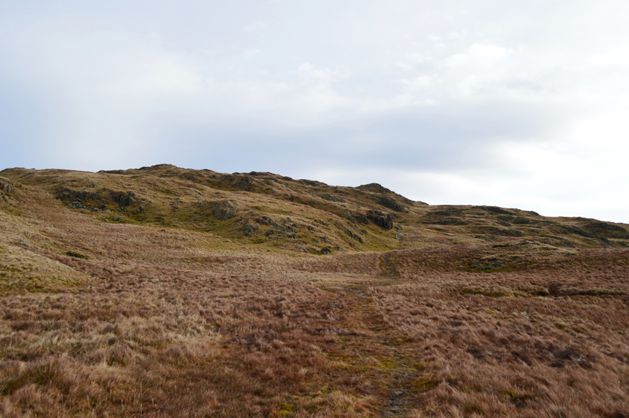
| Tarn Crag is just a glorious short walk away now. |
| Once I had crested the summit plateau I walked headlong into a cold wind, the forecasters had predicted a windchill up to -13°C across the higher summits but it was nothing close to that as I took in Tarn Crag under changing light it was here I de-layered to bare ears & hands, the chill was undeniably cold, but copeable all the same. |
 |
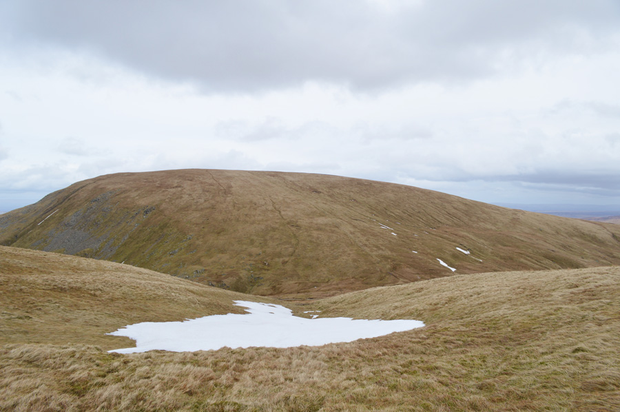
| Branstree & Selside Pike from Tarn Crag summit cairn. |
| Tarn Crag is my second 2,000 ft summit of the morning with two further 2,000 ft summits to be found on Branstree & another on Selside Pike, all of which look easy walking from Tarn Crag but there is quite a drop between here & Branstree, but, lets not all get bogged down with that, this is really turning out to be a beautiful morning on some much loved fells. |
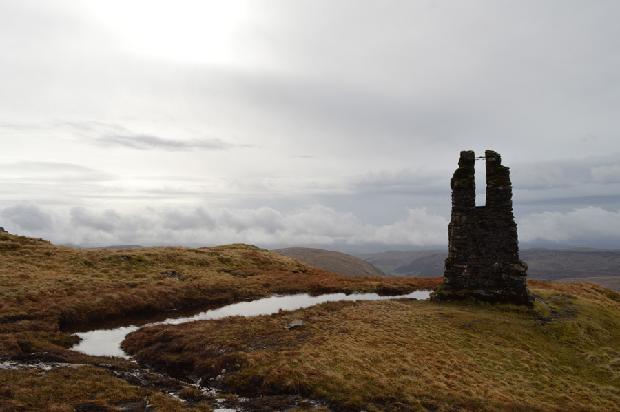 |
| Tarn Crag Survey Pillar. |
| Here the Survey Pillar used to be surrounded by a wooden platform that has since rotted away. the stone Pillars were built during construction of the Longsleddale Tunnel to carry the water aqueduct south towards Manchester. |
 |
| Branstree, Selside Brow & Selside Pike as I make my Tarn Crag descent. |
| I follow the wooden fence as I descend the shoulder of Tarn Crag, my path is drenched much like the standard I have been used to since leaving the car just a few hours earlier, my leather boots do a grand job of keeping my feet dry the downside to this is, they now weigh twice as heavy. |
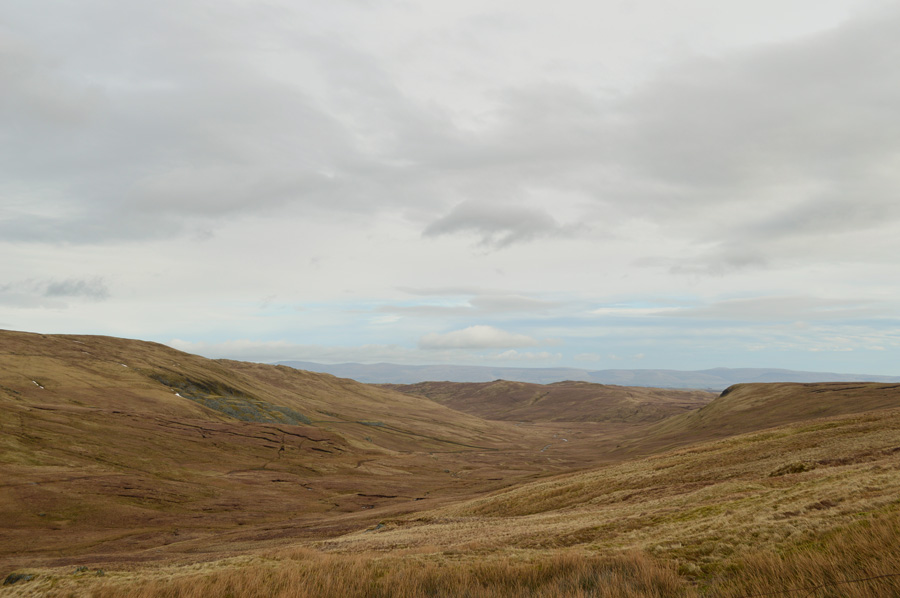 |
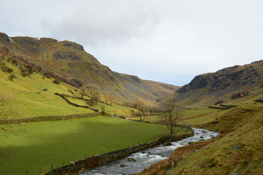
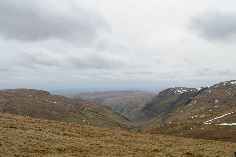
| Desolate Mosedale with distant views of Seat Robert. |
The last thing that I expected to see during my descent was a large group of walkers heading out of Mosedale towards Brownhowe Bottom & the Gatescarth Pass, I went unnoticed from my higher purchase as I wondered why so early from such a desolate & not to mention boggy valley, then of course it occurred to me they 'just might' have spent the night at Mosedale Cottage.
I press on. |
 |
| Brownhowe Bottom with views of Kentmere Pike & Goat Scar. |
I thought I had been dealt all I could be dealt with in terms of just how wet & saturated the ground was up until now, that was until I had to cross the top of Brownhowe Bottom where I had to literally wade a healthy sixty yards to the right of the photo then repeat it again just to get back towards the fence that marked my route up Selside Brow.
I have ascended & descended this route many times but never when the water 'run off' was in constant flow, this I can only imagine being the run off from the deep bank of snow found higher up the fell side, it didn't really hamper spirits but it did make progress slow down a little. I soon reached the base of the stone wall after a short burst of energy told me to rest a while before taking on the steady plod towards the main summit itself.
This was slow but steady walking with no false summits. |
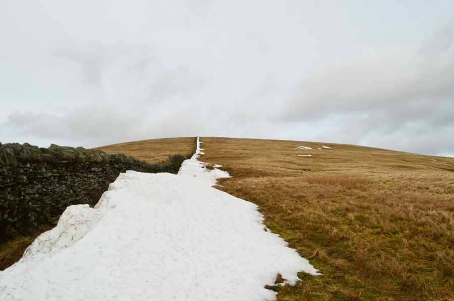 |
| Selside Brow. |
| With just the snow & the sound of the wind for company. |
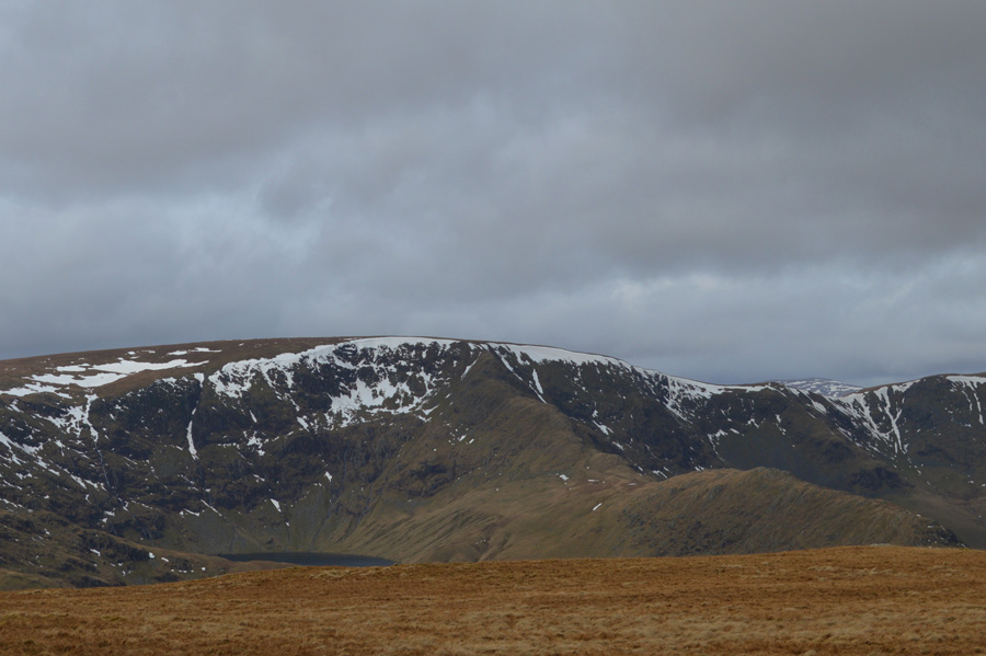 |
| High Street & Blea Water dominate the views once Branstree summit plateau was reached. |
| So much so I ignore the summit cairn, for now that is... |
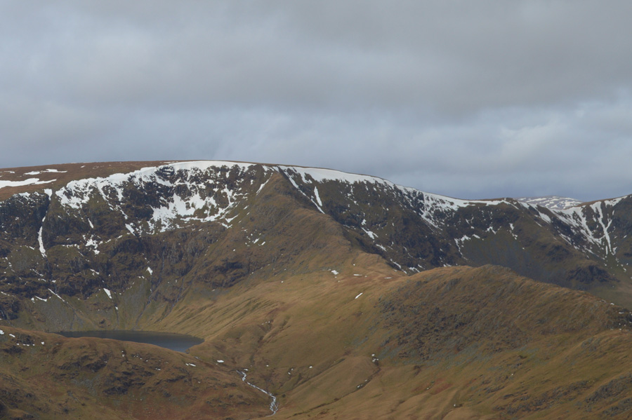 |
| High Street & Rough Crag from Branstree summit. |
| I scour for movement over the Rough Crag ridge but find nothing. |
 |
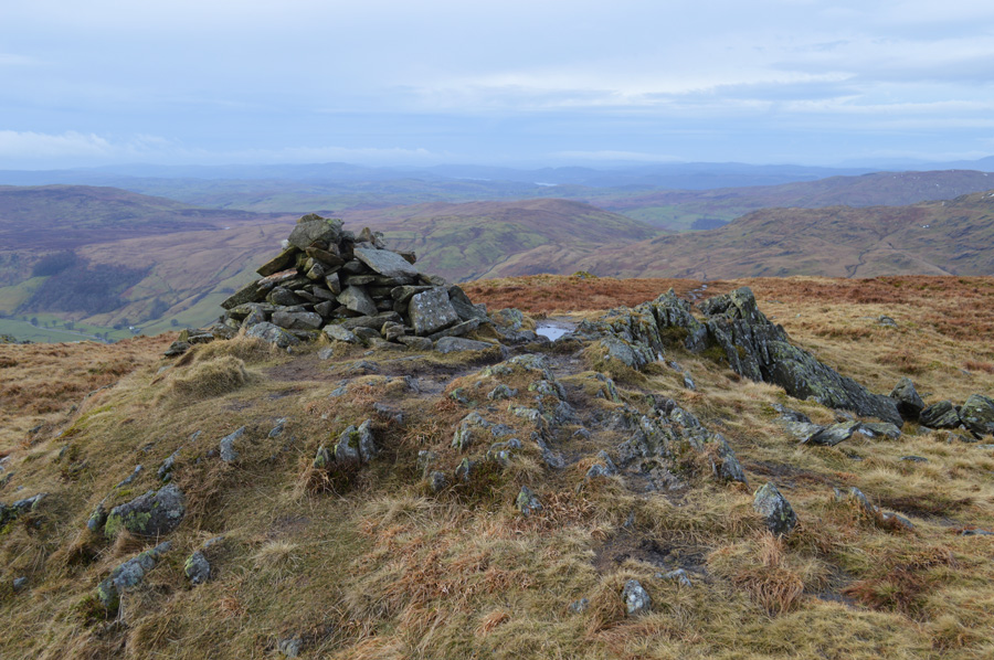
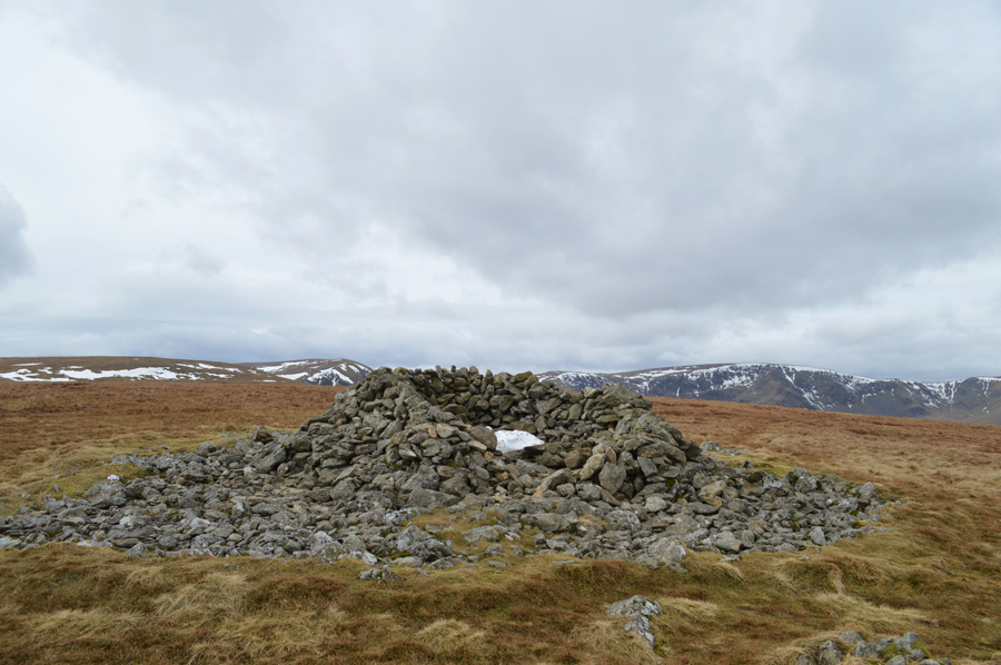
| Branstree (Brant Street) meaning steep; circular trig point. |
I soon return to the trig point which is buried at the highest point of the summit, for now the sun has now been hidden by grey cloud blanketing the summit in a dullness which even the wild grasses struggle to make an impact on.
My second 2,000 ft summit is found just a short distance away & is a little more aspiring to the eye. |
 |
| Artle Crag impressive summit cairn. |
| Just a few hundred meters north east Branstree second 2,000 ft summit is reached with its impressive stone column (s) Selside Pike lies just over a mile away as I glance down at my watch which is showing 11:50am. As with much of the Harry Griffin routes featured in this project they often include lengthy excursions to distant summits, this walk is no different & will be yet another test for things to come during forthcoming walks, I don't like to put a time on distances when I'm walking because the way I look at it you can't judge time when your enjoying yourself, if I was a sportsman & was against the clock then yes, but not here, it just wouldn't seem right as I coin the phrase that my old boss used to say 'it is what it is' |
 |
| The next summit of the day can be seen in the left of the photo, Selside Pike. |
I leave Artle Crag behind while at the same time weighing up my options in which path to take to gain Selside Pike by, I choose to walk towards the summit using the path far right first by passing the next Survey Pillar then veering off left slightly after passing the unnamed Tarns seen via means of a narrow grassy path that then lends its way towards Selside Pike.
To mix things up a little & because I live life on the edge I think I'll use the path towards the left for my return summit of Branstree. |
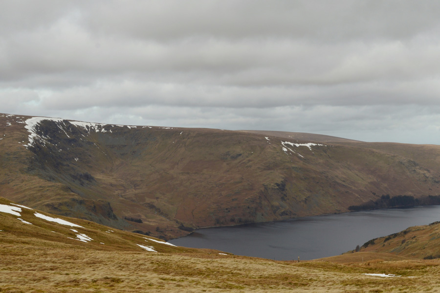 |
| Views over Haweswater, Low Raise, Castle Crag (fort) & Whelter Bottom seen from my traverse. |
| |
 |
| More Survey Pillars are passed en-route to Selside Pike. |
| Note the metal plates lying besides the Pillar, they seemed to be part of the construction of the pillar although where they came from I wasn't too sure. |
 |
| Selside Pike. |
| Despite Selside Pike being an out and back summit today I really enjoyed walking through the long grasses as the wind bit at my exposed cheeks, above me, sky larks hovered on the strong updrafts which really put that spring like taste into the walk. |
 |
| Almost there. |
| All that was left was to negotiate the bog often found at the base of the summit approach path which was by now showing the test of time as lengthier detours had to be taken if not to avoid the bogs created by human footprints, I guess it would be fair to say that if there was a medal in the Olympics for the hop, skip & jump after todays walk, I'm sure my name would be all over it. |
 |
| Selside Pike summit shelter. |
I soon found myself looking at what I thought would have been the perfect place for lunch only to find that the shelter had accumulated quite a lot of snow inside which meant I had to clear a seat by hand before I could sit down & take respite out of the wind.
This was done quite easily as only minutes later I was munching on my sandwiches whilst looking down at my soaking boots, which were positioned in two snow holes that I had kicked out.
The wind howled above seat within the shelter, an all too familiar but comforting sound all the same as I once again glanced down at my watch which showed 12:22pm. It was there I couldn't but help notice that I'd made the mile and a bit in a little over half an hour which pleased me given the sodden conditions.
It was no use though, those boots needed to be on the move again as I threw my pack over my shoulder, then raised myself fully into the cold summit cross winds.
There's no finer feeling than that first shiver when faced with cold winds when emerging from shelter. |
 |
| Heading back towards Branstree. |
| I had only sat down for lunch for less than ten minutes which was more than enough time for my body to lose the maintained temperature that I had kept up over the last few miles, regaining that was tougher than I thought no matter how much I tried, the cold from here on in seemed to bite at me more as the ends of my fingers first went numb followed by all four fingers on my right hand experiencing pins & needles, this isn't a complaint, this is Lakeland holding onto winter in the start of spring. |
 |
| Crossing Branstree featureless summit plateau for the second time. |
| Good times. |
 |
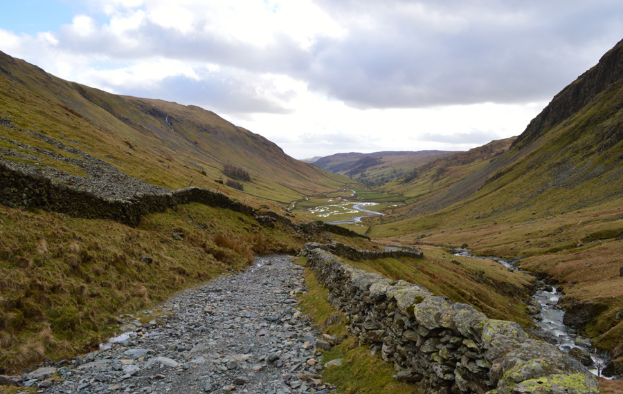
| Tarn Crag (Longsleddale) Goat Scar & the Longsleddale Valley seen during my Branstree descent. |
| |
 |
| With views north west towards Harter Fell (Mardale) Rough Crag, Kidsty Pike & Rampsgill Head. |
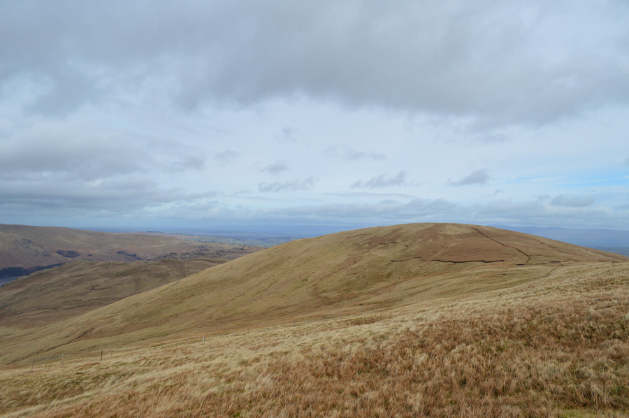
| My Branstree descent was done much quicker than I thought with most of my thoughts taken up on how I would gain my sixth 2,000 footer of the day, two options opened up both physically & by looking at my map one of which was a direct ascent on Adam Seat by means of follwing a wire fence that ran steeply up the fell side just yards away from the top of Gatescarth Pass, my other option was the one I went with which meant a slight pull on the Harter Fell approach path before a quick double back towards Adam Seat summit. |
 |
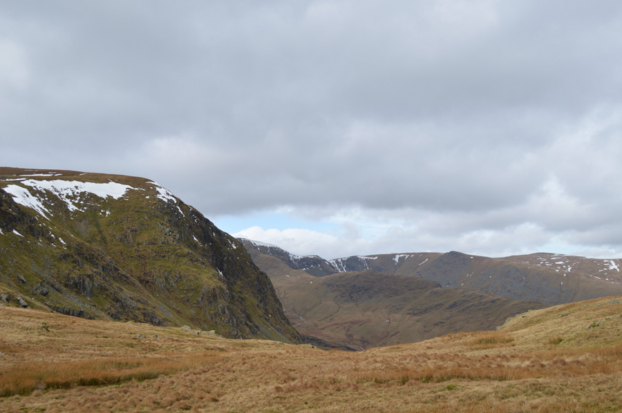
| Branstree over Gatescarth Pass, taken shortly after leaving Harter Fell's main summit path. |
Incredibly I eased my way up the steep fell side where almost at one point I would pass a large group of walkers that I had seen from my Branstree descent, as always on longer walks that last summit will always loom in the back of the mind itching away on how ones legs & lungs are going to react when faced with longer walking days.
My last summit proved well for both body & mind when at one point I'm sure I uttered the words 'bloody hell you're only just into the walk' my legs & most certainly my calfs felt a world away from the pain they experienced only two weeks ago whilst walking the Langdale Pikes which I put down to a strong mental stance, daily amounts of Ibuprofen & a four pound Tubigrip knee bandage. |
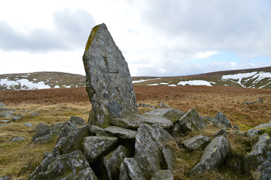 |
| Adam Seat summit boundary stone. |
| The large L on this side of the boundary stone for Lowther who was Landowner of Shap Rural parish. |
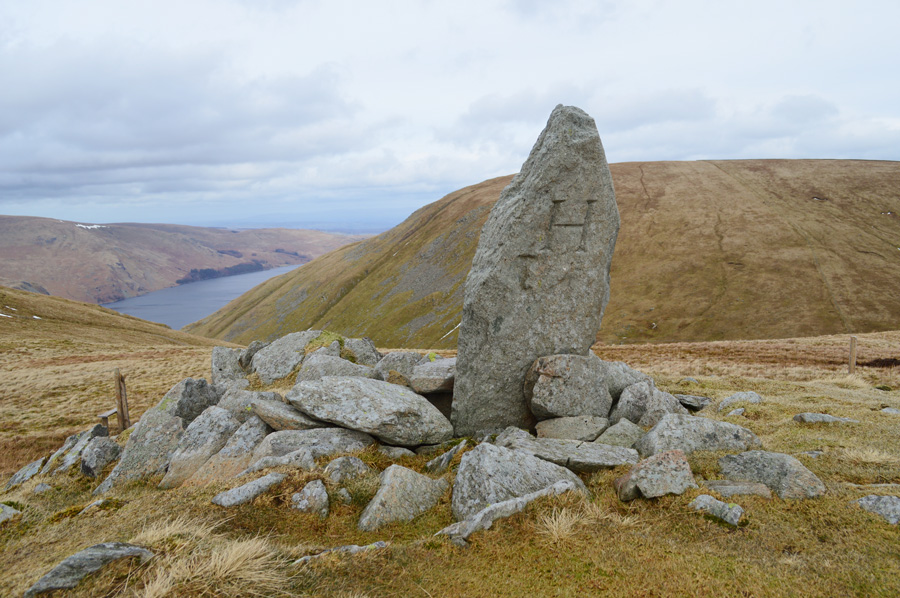 |
| On the other side of the boundry stone was 'H' |
Which stands for 'Harrison' the landowner in Longsleddale parish.
Despite me making good time I only spent a few sacred moments sat adjoining the boundary stone admiring the summits that I had traversed that morning, behind me the path towards Harter Fell was getting busier & busier with walkers all heading up from Mardale Head non of whom noticed me sat there admiring my views.
I had already plotted my route back to Gatescarth Pass by means of following the wire fence, the same route that I deflected on a short time earlier during my Adam Seat ascent.
I stood up with my face in the wind & wiped the moss from the backside of my trousers, the sun had come out as with each step in descent the warmth just grew & grew which was a sign of not just things were starting to clear up, but my walk was almost coming to an end. |
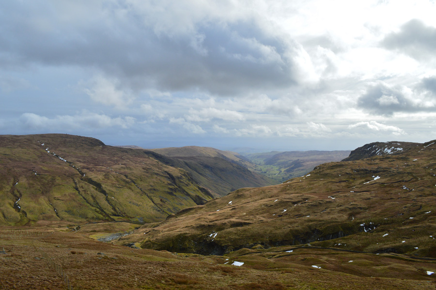 |
| Longsleddale. |
| But not just yet. |
 |
| Heading back to Sadgill along the Gatescarth Pass. |
I followed a brand new fence that lead me directly over Wren Gill Quarry before my final descent threw me out close to Brownhow Bottom. It was here I would pass groups of Mountain Bike riders each carrying their bikes on their shoulders looking exhausted at the same time, I don't question their feat, just pass with a hi or hello.
Shortly afterwards before passing the waterfalls where Wren Gill & The River Sprite meet I glance an hello to the couple who in turn were admiring the waterfalls, I take a quick glance back if only to get my own view where I stop to take a photo when I was greeted by the couple who asked 'are you Paul, Paul Sharkey?
I answered yes while at the same time handing my hand out to shake the guys hand who introduced himself as Gary, I follow your website Gary said, I knew it was you when you passed'
Gary was soon joined by his wife Sue as we all struck up conversation about our day, the weather & of course our routes, it turned out that Gary & Sue had taken in Grey Crag & Tarn Crag before enjoying a peaceful afternoon walk back to their car parked at Sadgill.
I must say meeting like this does wonders for the soul as we parted with handshakes only to meet up again briefly back at Sadgill, what a wonderful & inspirational couple coming all the way from Birmingham for a day on the Lakeland fells. |
 |
| Longsleddale. |
The light seemed to deteriorate but the rain held off as I took in the mile & half back to Sadgill where the dominance of Buckbarrow Crag to my left was never far from view, as was Goat Scar over to my right. |
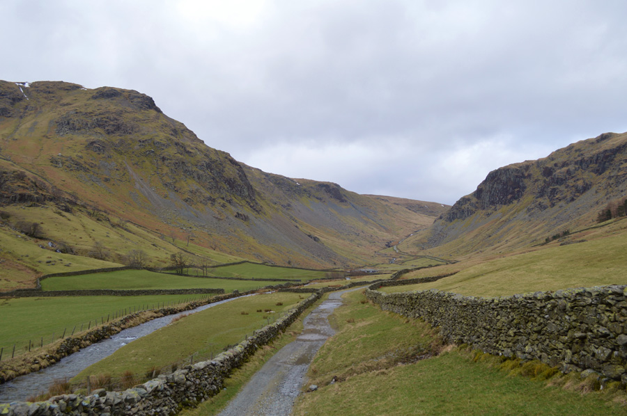 |
| Views into Longsleddale. |
The car park confirmed that my walk was over as every now & again I would look back to get that magnificent view back into Longsleddale. Today's walk was just another teaser of what is to come as each night I re-read Harry's 2,000 footers which become more & more real after walks like todays. It not only feels like I am following the same routes but it also feels like I am burying myself deep within the pages as if at times, I am re-living Harry's words.
But, It's easy to get nostalgic, but I guess that's just me. |
|
| |
| Back to top |
 |
|