|
Orrest Head, Sour Hows & Sallows |
 |
 |
16th March 2014 |
 |
|
This walk saw me back on home turf where I ventured over un-trod territory high above both the Troutbeck & Kentmere Valleys. The twinned summits of Sour Howes & Sallows have always been held in high regard which may seem odd as both summits have been referred to as page fillers.
I can think of worst if I was to put both those two words together, but I wont & that’s where we’ll leave the subject.
I did it again didn’t I? I switched routes right at the last minute, but it’s not as bad as switching counties as I did last week I suppose, this week I only switched the starting point, then the end point & the middle bit too.
This Orrest Head to Kentmere via Sour Howes & Sallows. |
|
Wainwright Guidebook Two |
 |
| The Far EasternFells |
-A.W Orrest Head 1930
Quite suddenly, we emerged from the shadows of the trees and we’re on a bare headland, and, as though a curtain had been dramatically torn aside, beheld a truly magnificent view…This was truth. God was in heaven that day and I a humble worshiper. |
 |
|
| |
|
Overview |
|
|
| Ascent: |
1,650 Feet, 503 Meters |
| Wainwrights: |
2, Sour Howes – Sallows |
| Weather: |
Warm & Sunny To Start, Turning Overcast, Highs Of 11°C Lows Of 7°C |
| Parking: |
A591 Roadside Parking, Bottom Of Orrest Head |
| Area: |
Far Eastern |
| Miles: |
10.8 |
| Walking With: |
On My Own |
| Ordnance Survey: |
OL7 |
| Time Taken: |
5 Hours |
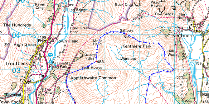
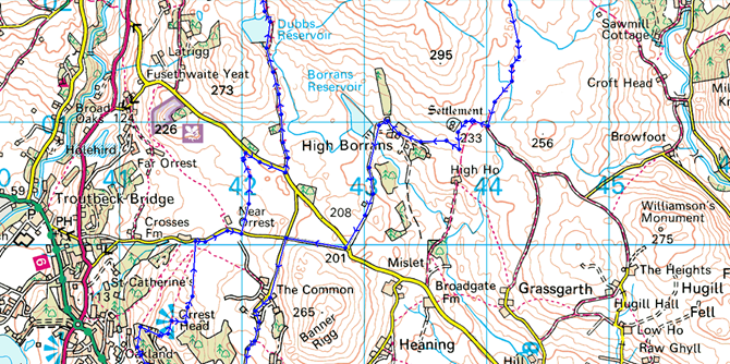
| Route: |
A591 – Orrest Head – Near Orrest – Dubbs Road – Dubbs Reservoir – Garburn Pass – Backstone Barrow – Sour Howes – Moor Head – Sallows – Scour Rigg – Kentmere/Ings Bridleway – Mickle Moss – High Borrans – Borrans Lane – The Common Farm – A591 |
|
| |
|
Map and Photo Gallery |
|
|
 |
| Layby Parking, Orrest Head B&B Windermere 07:30am 11°C |
The cloud was low as I left Wigan just over an hour and a half ago & things looked bleak through the grey of a sunrise that didn’t really materialise until I reached Lancaster & beyond, tinges of yellow & blue started to appear in the skies above me. An overcast morning had been forecast for todays walk so I put the foot down to make good of what little sun was predicted.
I arrived just outside Windermere & didn’t waste anytime kitting up…you know one of those rushed moments when you know you’ve forgotten something but you’re in too much of a hurry to remember what it is…well that’s the kitting up covered.
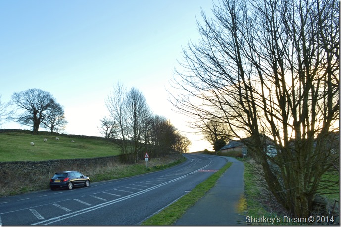
With a firm shut of the boot lid I crossed a deserted A591 & headed in the direction of Windermere, but not for long.
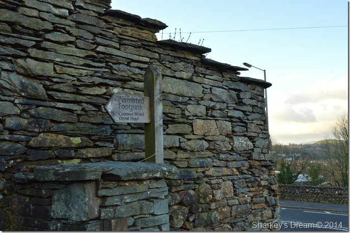
I soon spotted to my right a gate, behind it a clearing sign posted Orrest Head. |
 |
| Spring has sprung here in Windermere… |
| |
 |
| I guess that’s me then. |
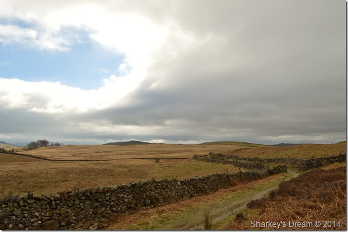
| Through the gate the bridleway opens up into a large wide open field with an easy track to follow that gains height ever so gradually. |
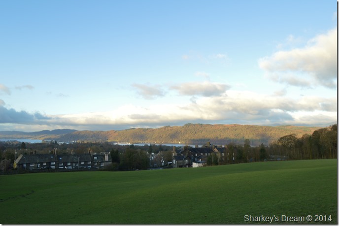 |
| Windermere rooftops. |
It was here I got my first glimpse of Windermere as the views opened up a little, I’m still thinking I am walking against the clock with limited ‘sun time’ so I pick up the pace a little as I head for Common Wood a little further ahead.
The morning sunrise breaks through gaps in the trees casting long shadows along the wooded footpath, the birds break out in morning chorus making this slight ascent highly enjoyable. |
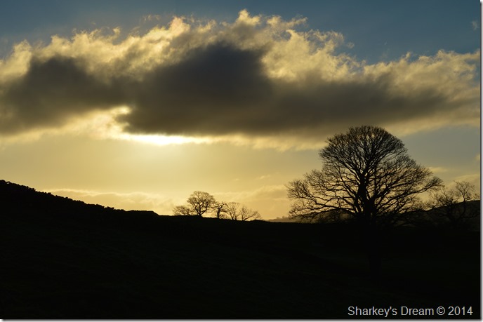 |
| Morning silhouettes flank my ascent. |
| |
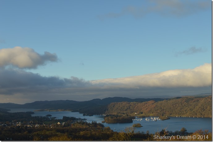 |
| Towards the southern tip of Windermere from Orrest Head summit. |
| After leaving Common Wood behind I arrived at the rocky outcrop summit post of Orrest Head, I feel like I have achieved more that just a couple of hundred feet climb, I literally throw my pack to the ground some feet away from the summit leaving just my camera strapped around my neck. |
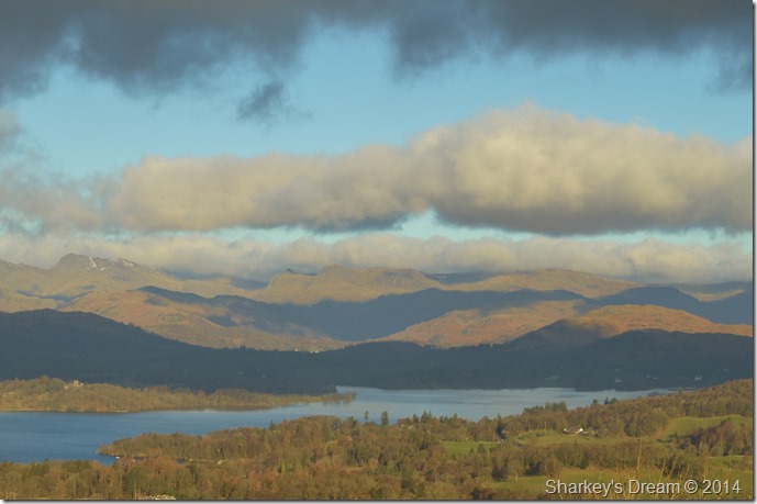 |
| Hazy views towards the head of Windermere together with the Langdale Pikes. |
| It’s worth paying attention to the direction & speed of the cloud approaching from the west, but for now with the little wind I figure I am safe from a shower or a cloud shrouded summit. |
 |
| Orrest Head summit. |
| The presence of the morning sun as it crept higher across the sky just added an air of brilliance during my time spent at Orrest Head. I simply cannot imagine how it would feel to see views such as these & not walk away feeling inspired. |
 |
| From the viewpoint looking into the throat of Troutbeck & beyond. |
| |
 |
| The views towards Troutbeck & the Ill Bell ridge were outstanding. |
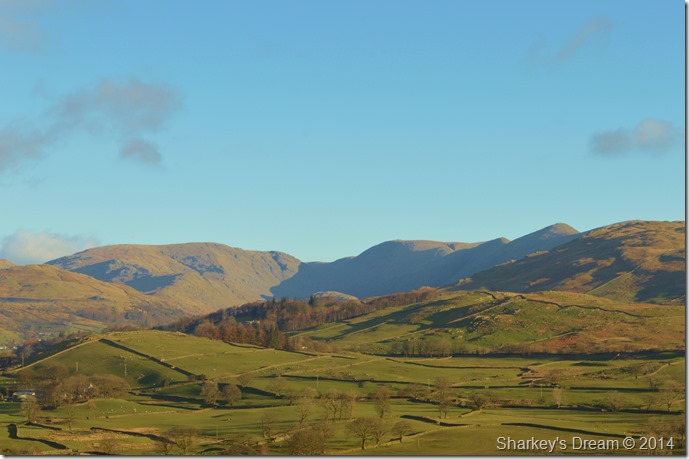
| From Orrest Head as I looked north I began to pick out my route to reach Sour Howes (seen in the right foreground of the photo) it seems I have quite a lot of lanes to negotiate before I get there so I best get a move on. |
 |
| The Causeway Farm with a Sour Howes backdrop. |
I initially made a bearing for the farm which stood out in brilliant white against the fields & meadows of Far Orrest, only to realise that my bearing was wrong, all I needed to do was head a little right through the farmers field instead of heading for the farm itself.
Despite the fact that Lakeland hasn’t seen any rain for well over a week the crossing of said field was boggy to say the least as the mud tried to claim my boots on more than one occasion.
After leaving the field I graced tarmac where I stamped my boots free from the quagmire, this only sent my socks rolling down (rolls eyes) |
 |
| Heading through Near Orrest. |
I have just over half a mile to walk under gorgeous blue skies before I pick up the Dubbs Road, there’s a few twists & turns to look out for but through the tress every now & again I spy a glimpse of Sour Howes which helps when you’re too lazy to open your map.
I figure I’m enjoying myself way to much to worry about getting lost! |
 |
| Orrest Head for now features just over my right shoulder. |
| |
 |
| I took this photo of myself taking a peek over a wall in the direction of the Coniston & Central Fells. |
| |
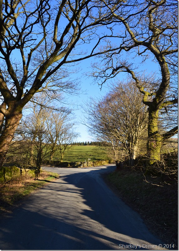 |
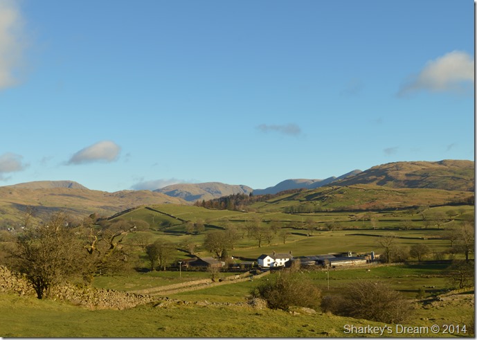
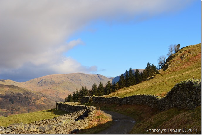
| Moorhowe Road junction with Dubbs Road (R) |
After negotiating more left & right turns I arrived at the junction where I would pick up Dubbs Road. If you are familiar with these parts your might recognise Moorhowe Road as the road that links Ings with Troutbeck, the scenery is idyllic to say the least but it’s not a road to use in winter from of which I can vouch for unless your driving a tractor or four wheel drive.
Today however it is spring & winter seems like it was months ago. |
 |
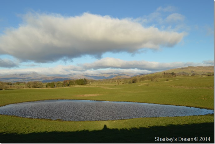
| Here looking back on Dubbs Reservoir from Dubbs Road. |
| Dubbs Road initially begins as an access road for the Water Companies to reach Dubbs Reservoir so as you can imagine the ground underfoot is pleasant, it’s only after the reservoir is passed the road turns to rough track underfoot, still, more extremely pleasant walking was had along the Dubbs Road. |
 |
| Dubbs Road shortly after passing Dubbs Reservoir. |
| It’s pretty difficult to tell that your actually walking up hill, nevertheless I keep a lookout for the Backstone Barrow route to gain Sour Howes, a route which is new to me & one I was very much looking forward too. |
 |
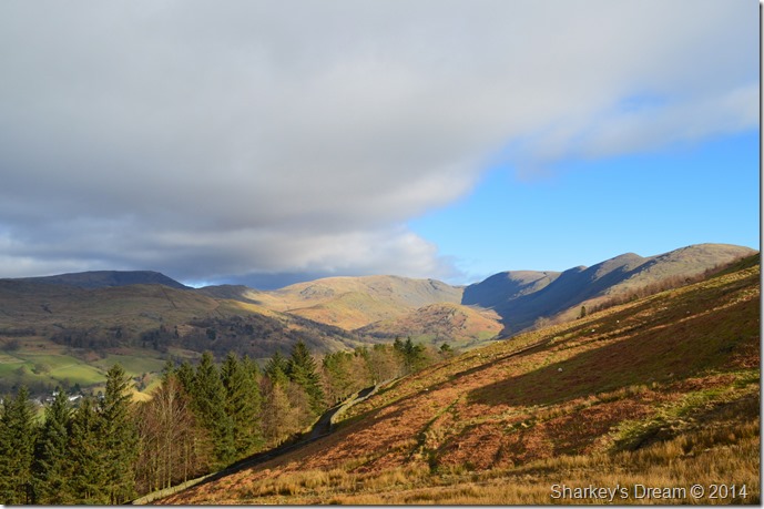
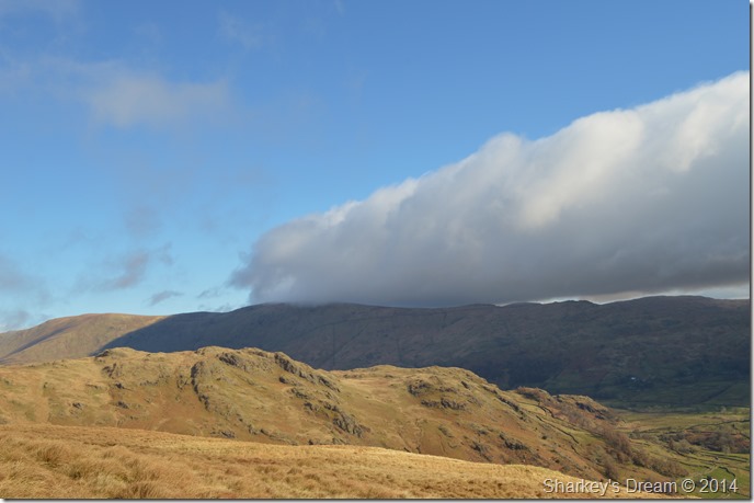
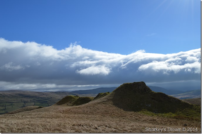
| Caudale Moor (Stony Cove Pike) from the foot of Backstone Barrow (Sour Howes) |
This is the scene that greeted me after rounding a section of the Dubbs Road, the light was amazing to say the least with the beautiful backdrop of Caudale Moor set against the pine trees.
I simply couldn’t wait to get higher, which was easily done by heading through the gate seen on the right.
Footnote –A little about the Backstone Barrow route
I must apologise in advance & make comment on the Backstone Barrow ascent on Sour Howes summit comes highly recommended by myself. The route almost takes on a steep ascent over connecting grassy ridges all the way to Sour Howes summit.
My apologies refer to the lack of pictures I managed to take of my ascent for you see, I couldn’t avert my eyes from looking the other way… |
 |
| Magnificent Troutbeck surrounded by the Ill Bell ridge, in the far left, Red Screes. |
| |
 |
| This time with a little zoom as I watch the cloud creep ever closer overhead. |
| |
 |
| An almost full length shot of Windermere with Dubbs Reservoir seen in the left of the photo. |
| |
 |
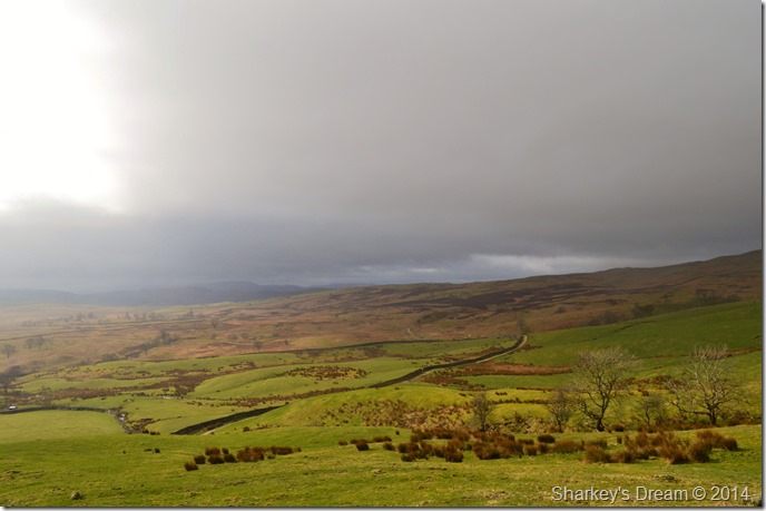
| The cloud soon arrived engulfing the Troutbeck valley in shadow. |
| |
 |
| Wansfell Pike sadly fairs no better. |
| |
 |
| One last photo as the cloud takes hold |
| I have been blessed with seeing one of the finest everlasting images of Troutbeck that I have been lucky enough to witness, made more special that my memories are set within an area of my favourite fells. |
 |
| Soon, Sour Howes summit comes into view. |
Sour Howes is a difficult summit to locate in the mist more so when the clag is down, generally by the rule of thumb a narrow grassy path will do the job of the map & navigate you towards this solitary fell top, if this fails do as I did the first time I was here & climb each grassy hill until you think you’re on the top, sadly the summit is almost without a cairn.
But not today… |
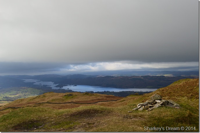 |
| Windermere from the rock strewn summit of Sour Howes |
(sorry there’s some sarcasm in there somewhere)
Still, lovely to see a cairn here. |
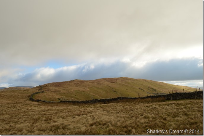 |
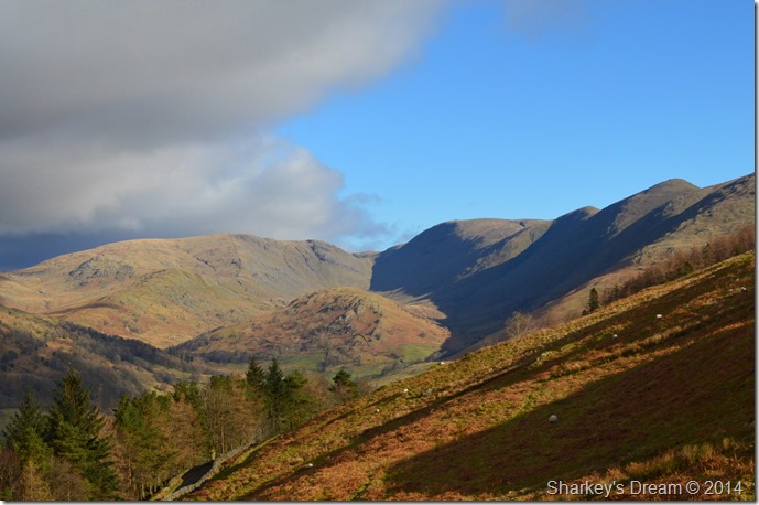
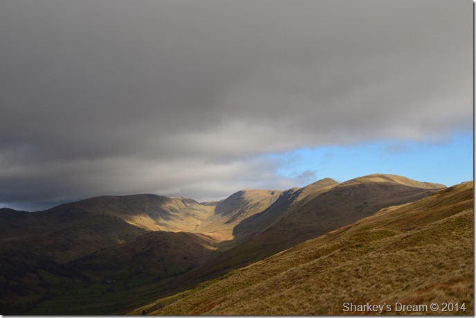
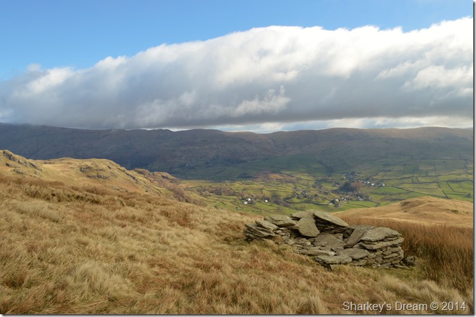
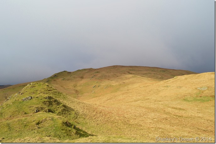
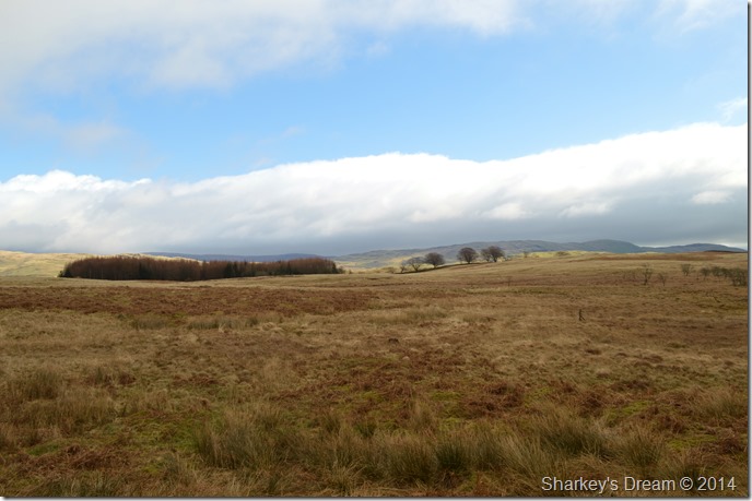
| Sallows from Moor Head. |
This wall & this sweeping valley head is just another reason why Sallows will always feature in my top ten Lakeland summits.
The sun had retreated behind cloud & right now I didn’t know if it was coming back, this does not stop me feeling content with my (picture less) ascent via Backstone Barrow where I witnessed the magnificent views into Troutbeck & its satellite fells.
I am in a favoured part of Lakeland, the bog is easy on my feet & for now my socks are still dry, I press on towards Sallows in memory of my last visit under thick snow & cold feet. |
 |
| Sallows summit. |
A curious curving mound of shale and grass, thirty feet long and as narrow as a parapet A.W
After little ascent I soon reached the summit of Sallows where I was greeted by a couple from Doncaster who were taking a few summit photos for the album.
A Great Dane ran towards me in a friendly manner as I held out my hand for it to take a sniff at, my hand dwarfed by the Danes head.
‘He doesn’t normally run at folk the couple laugh’ aye I thought…laughing behind a morning smile. |
 |
| Red Screes takes on what last of the sun had to offer…for now anyway. |
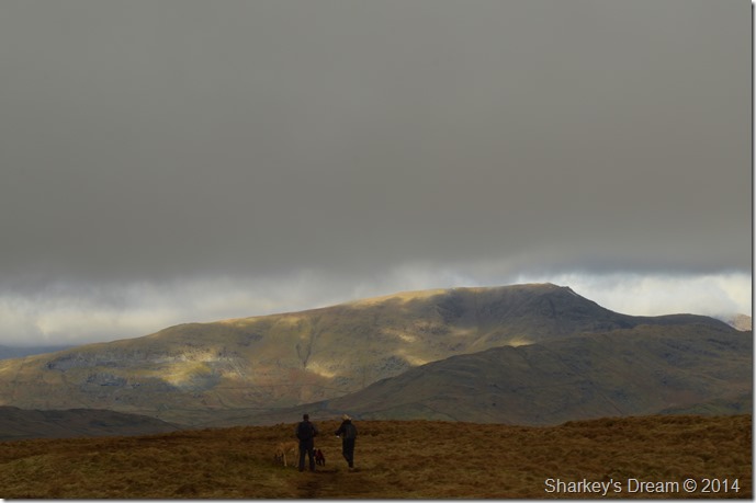
| I bid goodbye to the couple from Doncaster as they make their way over Moor Head towards Sour Howes, then back to their car parked in Troutbeck. |
 |
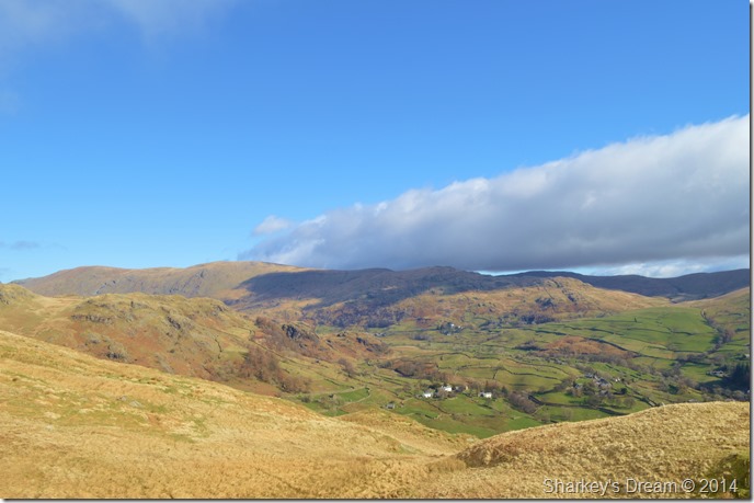
| Heading down the east ridge of Sallows with views into Kentmere. |
After leaving the summit I followed a faint grassy footpath which lead me by what I think are the remnants of Fox Traps, four in total ruin.
I take a little time out against the stone if not just to take in the views for just a few moments. |
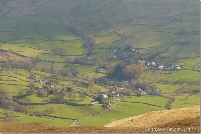 |
| Kentmere taken shortly after leaving Sallows summit. |
| |
 |
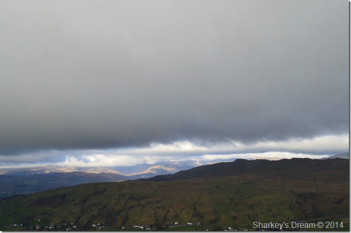
| From the Fox Traps I took this photo of the Harter Fell/Kentmere Pike ridge forming part of the Kentmere Horseshoe. |
| The fellside in the foreground is that of Castle Crag together with Piked Hows. |
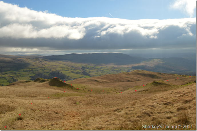 |
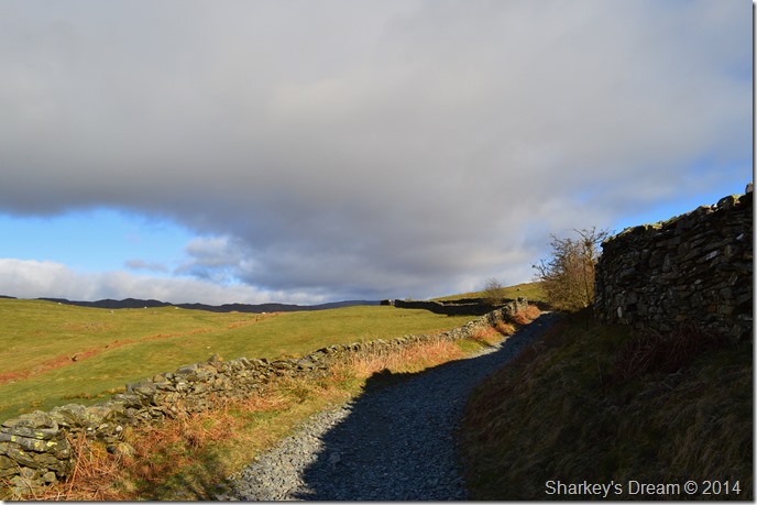
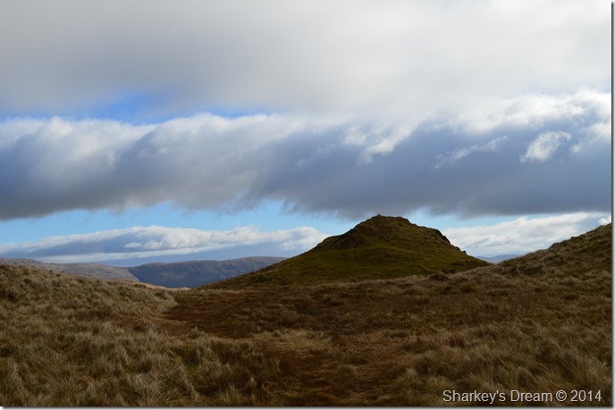
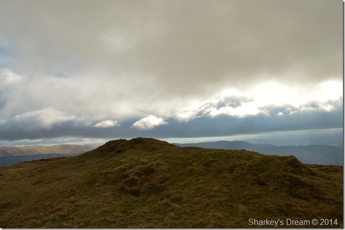
| Scour Rigg & my exit from the fellside. |
| I took the time to mark out my route as I found it easier than to explain, I hope you understand as landmarks other than Scour Crags were pretty scarce. |
 |
| Scour Rigg, it would be rude not to make the small detour. |
| |
 |
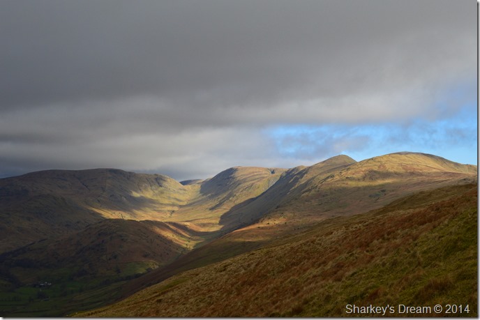
| Sallows from Scour Rigg summit. |
It’s not very often that I would spend time at a summit, after all I barley eat while on a walk, but here I simply couldn’t resist reaching for the ham & cheese, and after that…I spent twenty minutes with my pack against the grass just listening to the wind.
Bliss. |
 |
| Kentmere, Kentmere Pike, Shipman Knotts & Harter Fell (Mardale) from my listening spot. |
| |
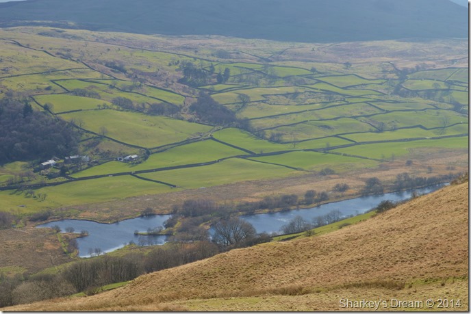 |
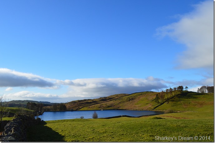
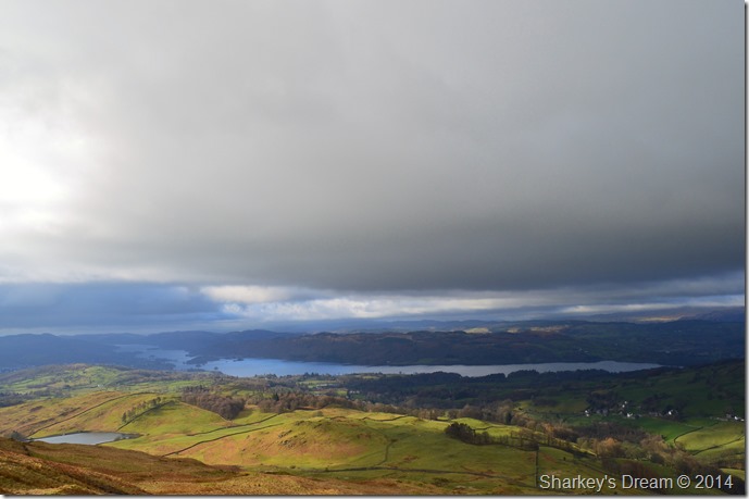
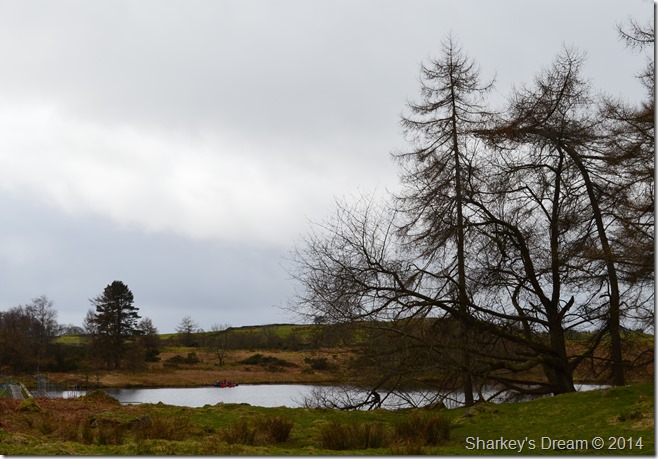
| Kentmere Tarn after seeking a small diversion from Scour Rigg. |
| |
 |
| The Kentmere / Ings Bridleway seen twisting through the moorland. |
| It was while I was heading for the Bridleway did I feel the first drops of rain that had been forecasted hours previous, the rain arrives sideways with a strengthening wind, thankfully it was just a passing shower. |
 |
| Mickle Moss. |
| The Bridleway passes Mickle Moss, an expanse of moorland & a place I wouldn’t want to find myself should the cloud come down without a map! |
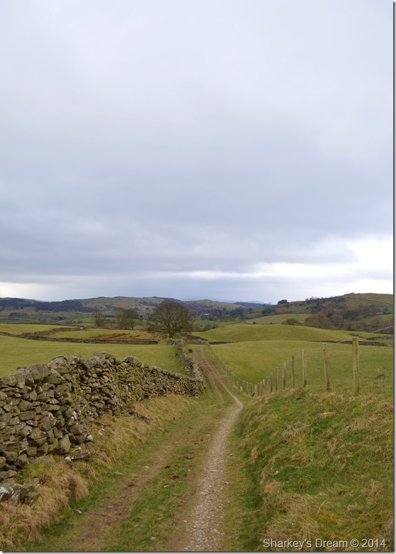 |
| The narrow lanes above High Borrans. |
| I followed my map taking in a slight detour hoping I may catch a glimpse of the Prehistoric Settlement that dates back to the 1st Century BC. However I am left somewhat disappointed at the lack of access to the ancient remains & give up but not through want of trying to scale the high stone walls that surround it. |
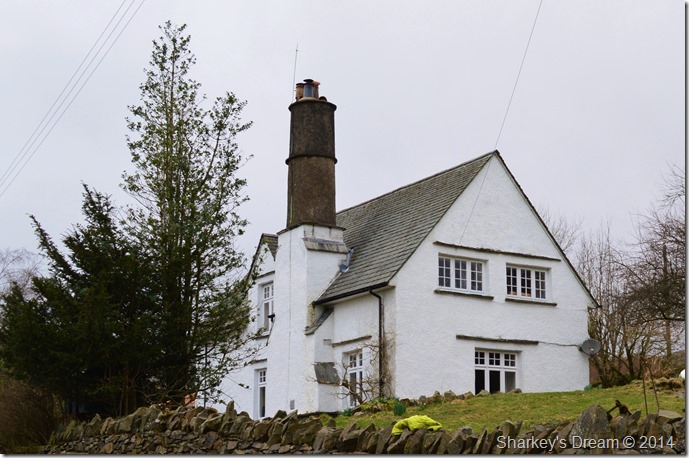 |
| High Borrans cottages. |
| That’s some fireplace!! |
 |
| Passing Borrans Reservoir along the way. |
| |
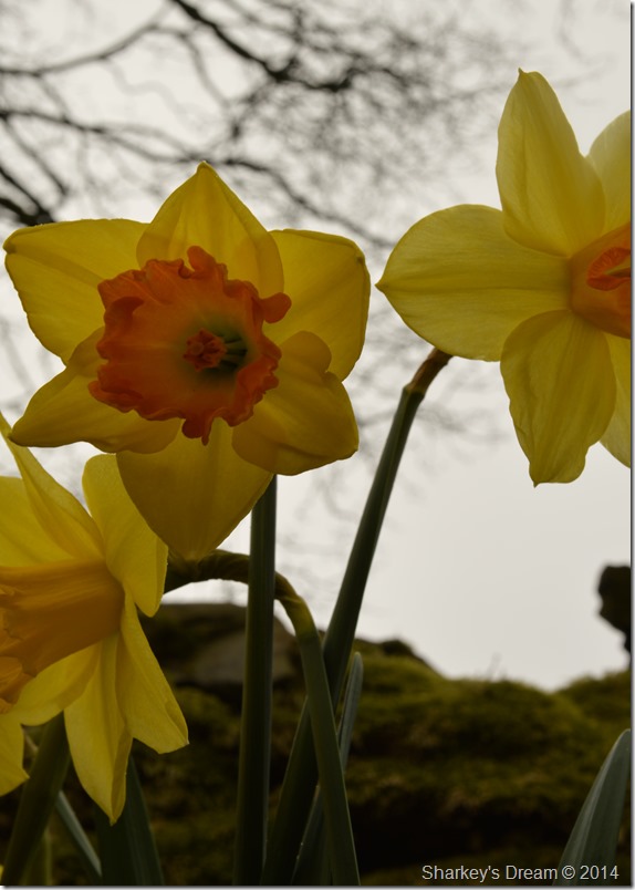 |
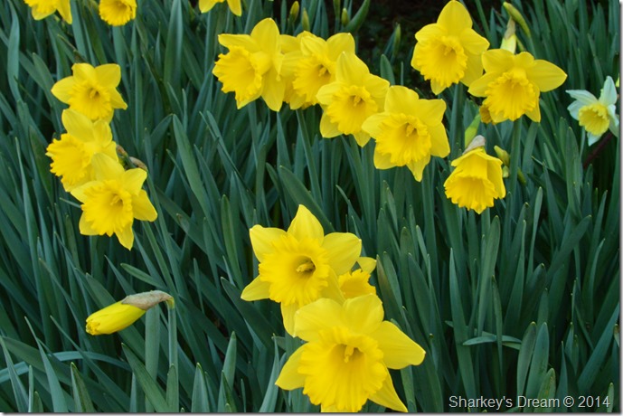
| High Borrans Daffs. |
This walk came out for me in so many ways, from my time spent at Orrest Head to the sun kissed lanes of Near & Far Orrest, not forgetting to mention the spectacular light show over Troutbeck.
Then came spring, on a day so early into 2014 that I will find hard to beat. |
|
| |
| Back to top |
 |
|