|
Loadpot Hill via Heltondale |
 |
 |
19th January 2014 |
 |
|
The job search continues with this so do the stresses, the weekend could not have come soon enough as I laid plans down for a day of walking that really didn’t need too much concentration on ‘where I was putting my feet’ Today I shall be freeing the mind & dusting the grey matter.
My plans throughout the week had been fairly evident from the start, I craved for rolling fell side & what more could answer this than a day spent on the Howgill Fells. The Howgills appealed to me for other reasons too, as I hadn’t set foot back on them since 2011
As the week progressed the forecast looked like I was going to get my day, that was until ‘the last hour’ when said plans were torn to shreds by low valley mist that would continue to envelope the Howgills for much of the morning, continuing into the early afternoon.
Well, I cant say I’m not used to changing my walking plans on the last minute every time I read a forecast by the Met Office…the trouble is these days…those forecasts are too accurate which can play havoc with the walkers mind set agreed?
Okay, I had less than three hours before bedtime to come up with a plan B that would cater for my needs while at the same time, keeping me dry.
This walk is the result of those last few hours searching. |
|
Wainwright Guidebook Two |
 |
| The Far Eastern Fells |
‘Loadpot Hill’ -ascent via Heltondale
Walkers bound for the summit, especially from the north and east, may have difficulty in finding access to the fell: routes cannot be determined by observation from valley – level because of intervening tracts of cultivated farmland, which must be traversed before open ground is reached. A maze of byways and walled enclosures and farmsteads complicates the approaches. |
 |
|
| |
|
Overview |
|
|
| Ascent: |
1,969 Feet, 600 Meters |
| Wainwrights: |
4 Wether Hill – Loadpot Hill – Bonscale Pike – Arthurs Pike |
| Weather: |
Sunny Intervals Throughout The Day, Rain Towards The Latter Of The Walk, Highs Of 7°C Lows Of 5°C Feels Like -1°C |
| Parking: |
Roadside Parking, Roehead, Pooley Bridge |
| Area: |
Far Eastern |
| Miles: |
13.2 |
| Walking With: |
On My Own |
| Ordnance Survey: |
OL5 |
| Time Taken: |
6 Hours 10 Minutes |
| Route: |
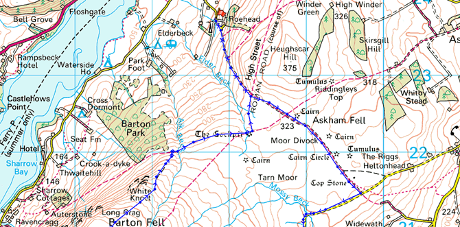
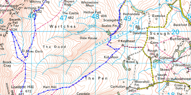
Roehead – Moor Divock – Heltondale – Scales Farm – Heltondale Beck – Kid Moor – The Pen – Hart Hill – Wether Hill – Loadpot Hill – Bonscale Pike – Arthurs Pike – Barton Fell – The Cockpit Stone Circle – Roehead |
|
| |
|
Map and Photo Gallery |
|
|
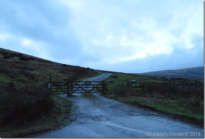 |
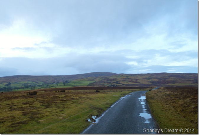
| Roehead; just outside Pooley Bridge 08:09 5°C |
It was still dark as the sunrise hadn’t quite broke through when I arrived at Roehead so kitting up was done at a more than leisurely pace. Parking wasn’t a problem as I was first to arrive so the car was left just behind where I stood to take this photo.
The air is mild for January with a slight breeze bringing with it the only chill in the morning air, with the car locked I head through the gate & pick up the track that will see me cross Moor Divock, it’s a gentle stroll as I wait for sunrise. |
 |
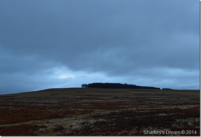
| Arthurs Pike from Roehead. |
| Arthurs Pike is on my itinerary today, but it’s going to be another five hours until I cross its slopes. |
 |
| Waiting for sunrise while crossing Moor Divock. |
Moor Divock is one of those places you could spend a whole day, yes I know it doesn’t look very interesting but this place was once home to Bronze Age settlers thousands of years before the Romans arrived. Moor Divock is steeped in artefacts that the settlers left behind from Stone Circles, Burial Mounds & Cop Stones.
It’s such a pity I don’t have the time today (nor the light) to give the place some much needed exploring time. |
 |
| Heughscar Hill seen from Moor Divock. |
| As tempting as it was Heughscar Hill gets flanked to my left. |
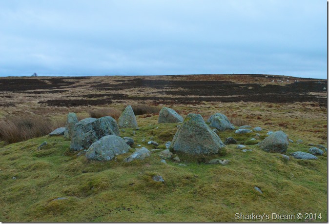 |
| Bronze Age Ring Cairn. |
| On of many Bronze Age Ring Cairns found on Moor Divock, this one was located less the sixty feet from the path. |
 |
| Sink Holes found on Moor Divock. |
| The crater like sink holes or ‘Sallows’ litter the whole Moor & can be seen on the Ordnance Survey maps quite clearly, it is thought the Bronze Age settlers used the sink holes as Burial Chambers as skeleton remains have been found within them. |
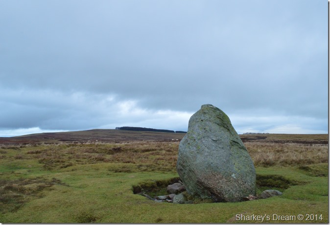 |
| A now distant Heughscar Hill seen from the Cop Stone on Askham Fell. |
he Renault Clio (thankfully out of shot) parked along the track brought my lesson through history back to a sudden standstill.
With a slight increase in sunlight the Cop Stone & indeed Moor Divock is left behind as I head south west along a single tarmac road that divides the quaint village of Helton & the valley of Heltondale. |
 |
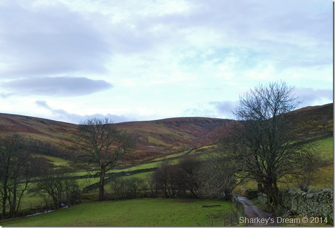
| Heltondale. |
| My aim is to reach the highest point on the skyline seen centre, but before me & it; I have just over a mile of lovely secluded walking. |
 |
| Heltondale. |
| There’s no grander feeling than to be in a place you haven’t been before, more so when it’s as open & secluded as Heltondale. |
 |
| Oh dear… |
An oversight on my behalf sees me reaching for the GPS, as it seems I have no access through Scales Farm.
It was one of those situations where my progress was suddenly halted, here I see no other signs or markings that will see me bypass Scales Farm so I had to use my intuition & go around the farm & outbuildings by turning right at this stone wall, thankfully the wall flanks the farm & part of its out-buildings then comes to abrupt stop some way ahead where I was given no choice but to wade through the farm pens & enclosures which then spat me out in-between the main living quarters & the old Scales Farm which sadly looked like it had been abandoned. |
 |
| Scales Farm. |
I was a little anxious should the farmer stop me for trespassing, that was until I saw the remnants of an old plastic arrow ahead nailed to a farm gate which read path on it.
Hall E lujah! |
 |
| Heltondale. |
| I still needed to reach the opposite side of the valley where I should be able to pick my path up, the only trouble was, I just couldn’t see it. |
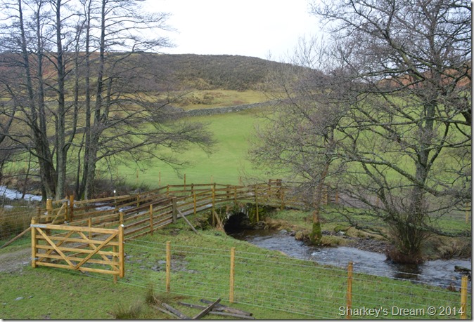 |
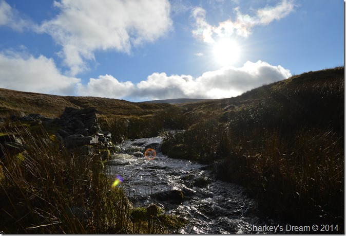
| Crossing Heltondale Beck. |
| The old packhorse bridge has sadly lost its appeal as the farmer had decided to build a fence right across it, it maybe a safety measure I’m not sure, but in saying this, the bridge has never needed a fence before. |
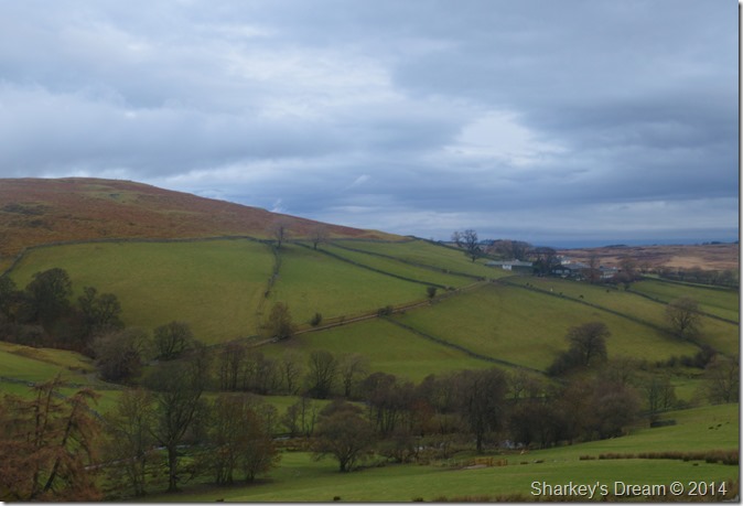 |
| Helton Fell together with Scales Farm. |
| It was quite a muddy affair to gain some much needed ascent onto open fell land, the reason why I couldn’t see the path earlier was because it was hidden behind a stone wall which flanked the hill side in an almost horizontal fashion. |
 |
| Howe Farm outbuildings under moody skies as I ascend Kid Moor |
| |
 |
| The Pen seen left together with Heltondale Head seen right. |
| A.W best described this ascent as ‘undulating & long’ It was exactly what I was looking for. |
 |
| Here, looking back over Helton & the distant North Pennines. |
| |
 |
| Heltondale Head flanks my right as I continue towards The Pen. |
| |
 |
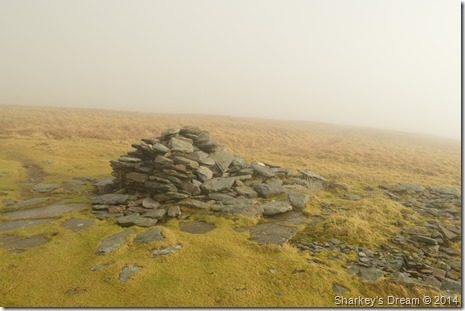
| The Pen summit cairn. |
| It may pay to look out for the summit cairn as I was following a path a little lower down its flanks, after a short crossing I headed for its secluded summit where upon I stumbled across a much broader path all of which linked up a little further up the fells side. |
 |
| Dramatics at The Pen. |
| |
 |
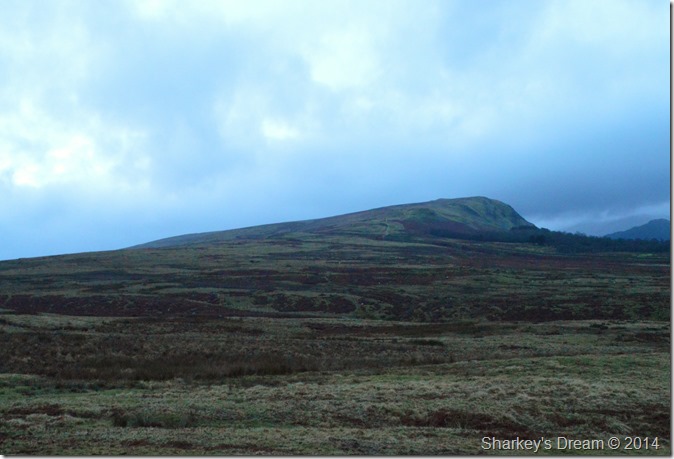
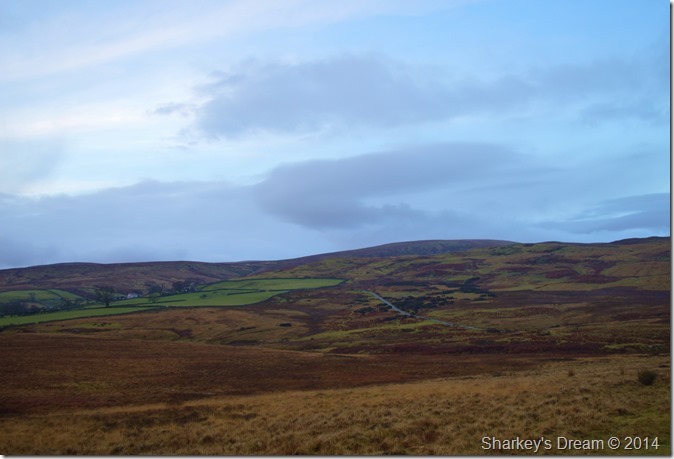
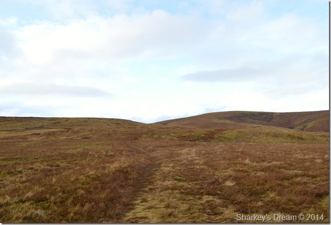
| Wether Hill comes into view. |
| From The Pen I took great delights in spying Wether Hill seen here in the distant left of the photograph, it looks a straight forward march across the moorland but first I had to gain the upper east reaches of Loadpot Hill then flank south a wee while. |
 |
| Wether Hill bound. |
| There are times & places in walks when a walker can say to him or herself ‘should it start chucking it down right now’ I can’t leave without saying that I had fulfilled what I had set out to do this morning, this was one of those times & one of those places. |
 |
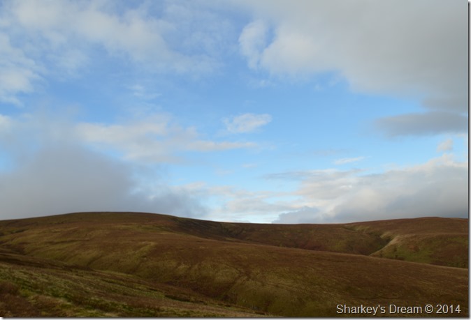
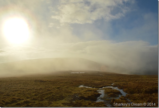
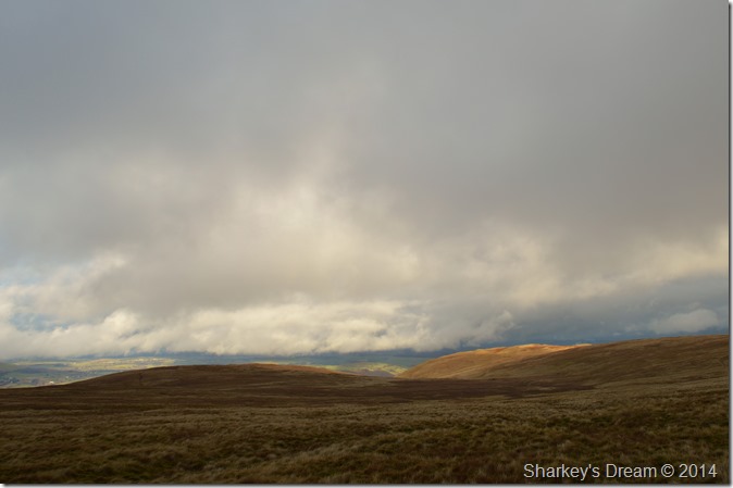
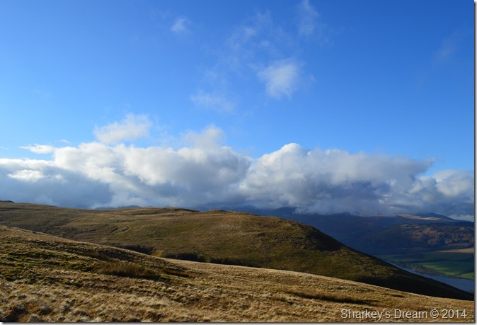
| Ominous cloud starts to head in from the west. |
| |
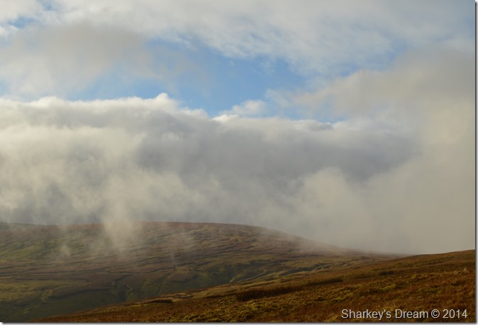 |
| Here it comes…. |
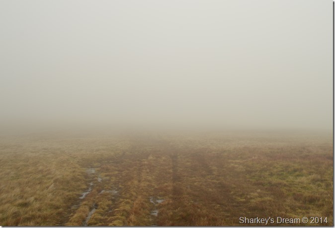
| The cloud soon reached me engulfing my ascent in hill fog. |
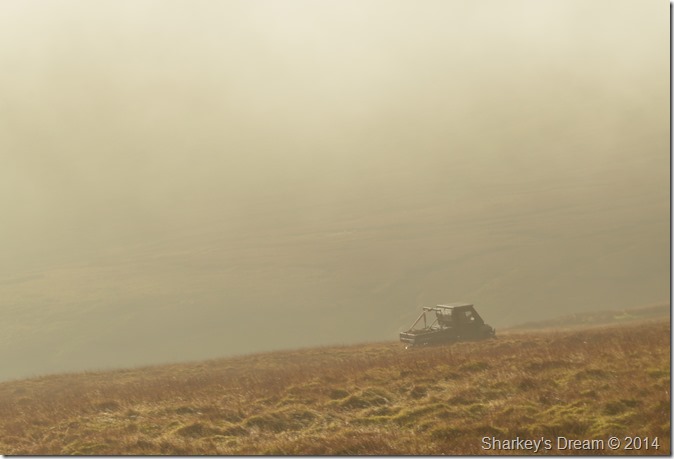 |
| Farm vehicle passes me as I flank Loadpot Hill. |
| I heard the rumble of the vehicle behind me, so I gave the driver a wave but I couldn’t see if I got a wave back…Here I spot a very narrow path that will traverse me across the ridge between Loadpot Hill & Wether Hill, the path is narrow & for now I have enough visibility to navigate it, but in the end I decided to stick with the more prominent path as I’m only full aware that the viability wouldn’t have lasted, I was right. |
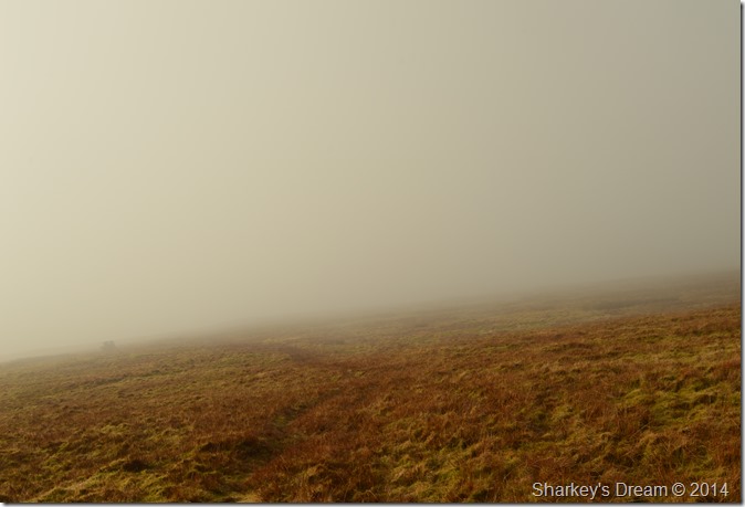 |
| Sticking with the prominent path. |
| |
 |
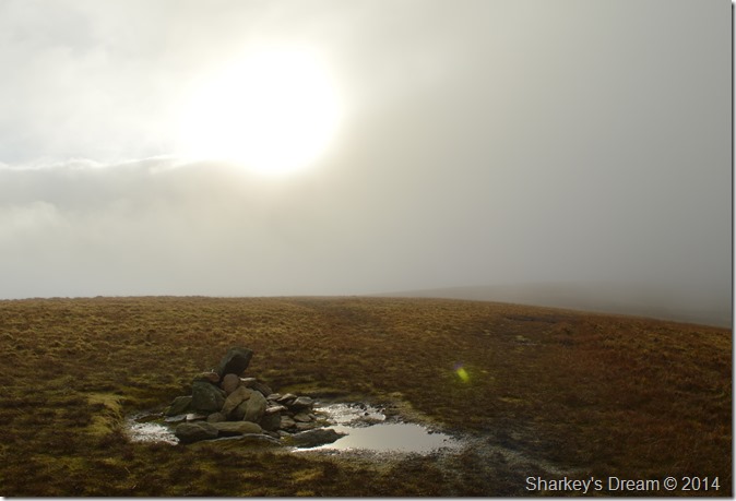
I soon arrived beneath the summit of Loadpot Hill where my path came to end at the Lowther Chimney, an iconic landmark to Loadpot Hill that was once a wooden structured shooting lodge.
It was now time to press on through the cloud & head over the ridge to Wether Hill. |
|
|
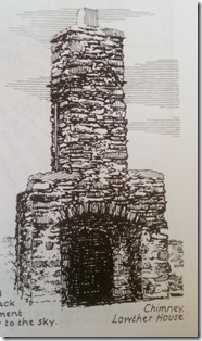 |
| The Lowther House Chimney. |
|
 |
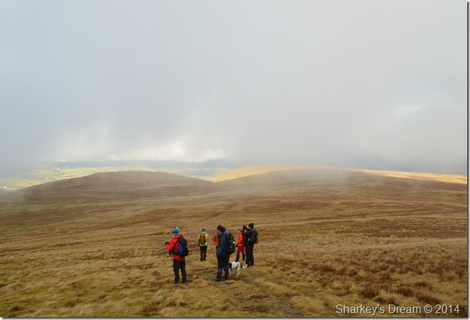
| A brief break in the cloud reveals Wether Hill with what appears to be a group of walkers heading towards me. |
| What happened next changed the whole walk for me & lifted my spirits through the roof, but first I had to get over the embarrassment of forgetting where I was! |
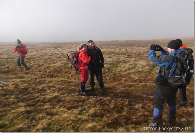 |
| Are you Paul Sharkey? |
The group of walkers heading towards me turned out to be a group of Facebook friends who were taking a walk out together after leaving Martindale earlier that morning.
As I lifted my head to pass on my ‘good mornings’ to the group eye contact was locked between me & fellow walker Richard Jennings, are you Paul Sharkey Richard asked? I am yes, it’s Richard Jennings! well the big smiles broke out & so did the cameras, conversation turned to routes previous & routes ahead as we all chatted like we had walked together for years, at one point I’m sure I heard the word famous but it might have been a slip of the tongue!
It is true to say that my job situation has seen me pretty down in the dumps as of late, I personally would like to thank Richard Jennings, Andrew Foster, Lesley ‘skyblue’ Whittaker, Simon Lockyer (taking photo) Stephen Wood & finally Dave McGregor for changing all of that.
After a while spent chatting we both separated & carried on with our routes, it was only a short traverse for me to reach Wether Hill which was done despite the low cloud feeling much better than I had half an hour previous, thanks again guys. |
 |
| En-route to Wether Hill as the sun try’s to break through the cloud. |
| |
 |
| Wether Hill summit cairn. |
The cloud managed to break once more whilst at the summit of Wether Hill, it was very brief but great while it lasted.
Time to double back now & take on Loadpot Hill (for the second time this morning) where I was to be treated too… |
 |
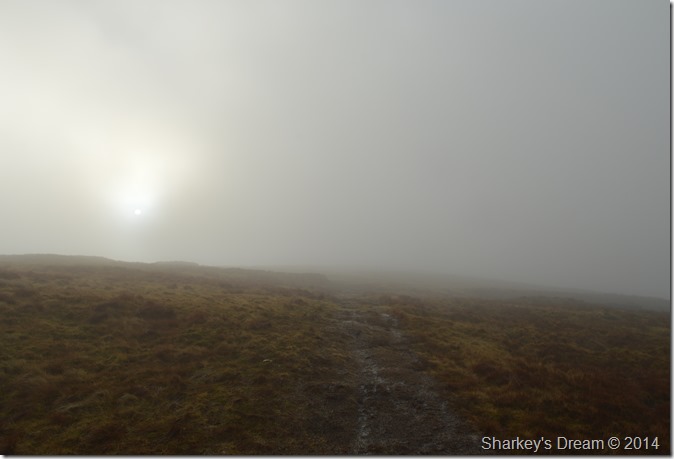
| More cloud. |
| Besides my recent friends encounter, I didn’t see anyone else along this short stretch of ridge, which was eerily quiet, which, is nice if you like that sort of thing. |
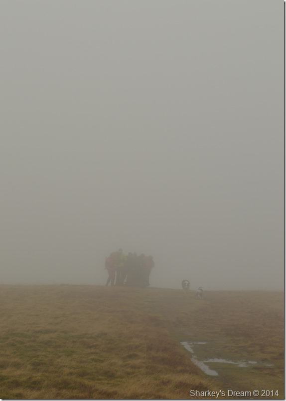 |
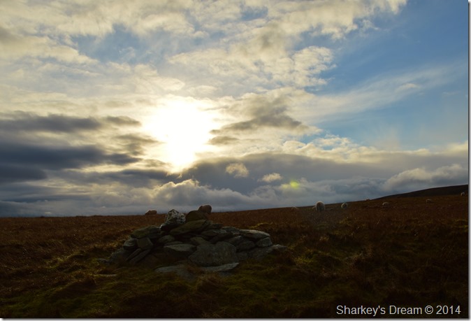
| Loadpot Hill summit. |
Through the cloud I notice a large group at the summit trig point, it was the gang who were all enjoying themselves taking pictures & chatting, I asked seeing as I was heading the same direction would they mind I join them.
After leaving the summit in full conversation we started to take in the little descent toward the course of the High Street Roman Road, here I caught up with Andrew Foster who was filling me in on a recent encounter with a direct ascent on Great Gable via the Napes.http://lakelandwalker.wordpress.com/
Amongst other friends I also got talking to Lesley Whittaker who is taking on the monumental task of climbing Kilimanjaro next month in aid of Just Giving.
Although the conversation was brief (we’ll get to that bit next) Lesley was explaining to me about her training & diet, least of all how Lesley felt a little nervous. I can tell you now Lesley you have nothing to worry about.ust Giving |
 |
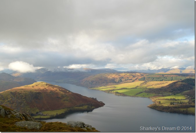
| Bonscale Pike & Arthurs Pike appear through the cloud. |
Still deep in conversation I hadn’t noticed that the group where taking a direct line on Arthurs Pike, to my left ebbing further away was the path I needed to gain Bonscale Pike.
Guys’ I’m going to have to leave you again here, I need to head over to Bonscale Pike while you need to head over to Arthurs Pike (I was predicting we would cross each others path around the top of Swarthbeck Gill) after leaving our intended summits)
With this I bid farewell again & soon pick my path up bound for Bonscale Pike. |
 |
| Bonscale Pike (L) with Arthurs Pike seen (R) |
| |
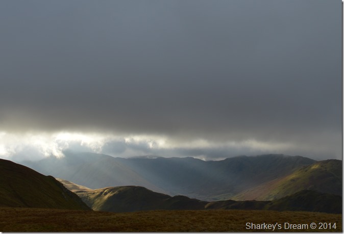 |
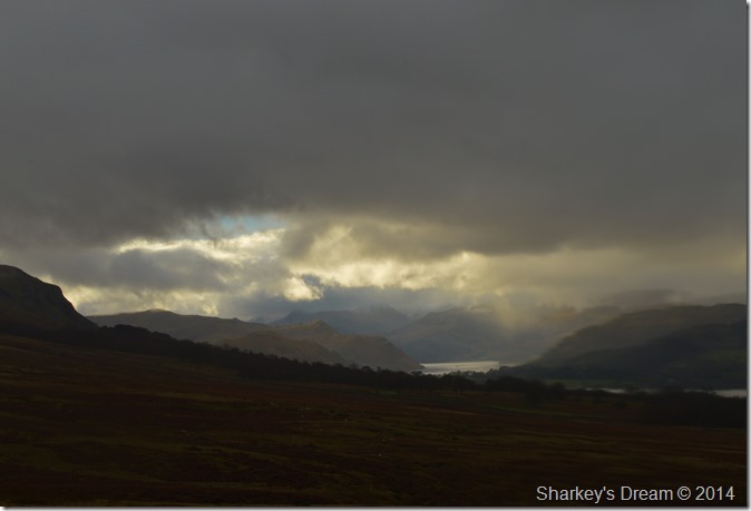
| Eye catching dramatics over Bead Fell & the Boredale Valley. |
| |
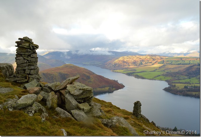 |
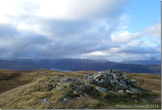
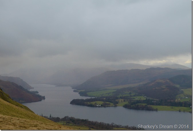
| Hallin Fell, Gowbarrow Fell & Ullswater as seen from the Swarth Towers, Bonscale Pike. |
| The Swarth Towers were the perfect resting point to eat lunch & maybe take in a little rest, the gang were by now out of sight on Arthurs Pike so I guess they were doing the same thing too. |
 |
| ‘I’ll take the best dining table in the house please waiter’ |
| By now I was lucky enough to have some bright & clear weather overhead as I munched away at my ham & cheese sandwiches. |
 |
| Crossing Swarth Beck. |
| Here I reunited myself with the strange glowing thing in the sky, it seems such a long time ago since we last met. |
 |
| Here looking back on Bonscale Pike over Swarthbeck Gill. |
| |
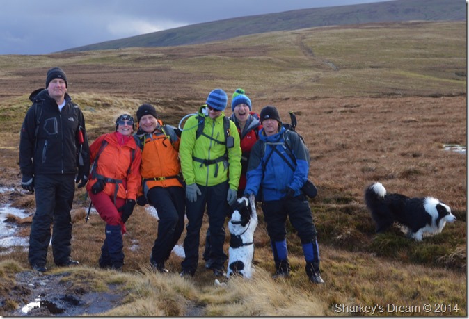 |
| Group photo opportunity & a chance to put names to faces (from Left to Right) |
Dave McGregor, Lesley ‘skyblue ‘Whittaker, Richard Jennings, Simon Lockyer, Stephen Wood, Andrew Foster, Ollie & Frankie
The guys were just about getting ready to leave as we struck up more conversation oddly enough on the subject of the film ‘Kes’ as it was filmed at a school close by to where Richard lives, the conversation turned to Corrie & Emmerdale, it was unanimous that non of us watched Eastenders!
With more handshaking I bid goodbye to the gang for the final time. |
 |
| Arthurs Pike summit cairn. |
| After saying goodbye to the gang I made my way over the summit cairn, here a definite change was in the air the moment I spied that dark looking cloud, as brief as it was, I sure did enjoy that sunshine earlier. |
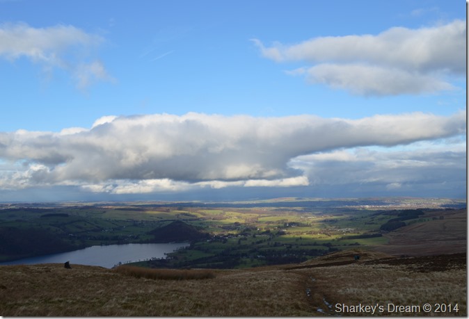 |
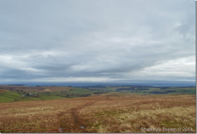
| Heading down Barton Fell with views of Ullswater & beyond. |
| |
 |
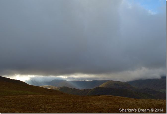
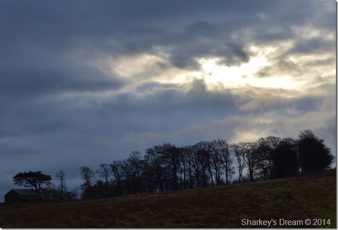
| The eastern fells have now been engulfed by the approaching cloud, with it I also lost the light. |
| The sound of the rain hitting my jacket from behind confirmed that the approaching rain cloud was almost upon me. The car & Roehead is just over a mile away, this was walked in quiet awe, every once in a while looking back at this fantastic view as the rain pelted at my face. |
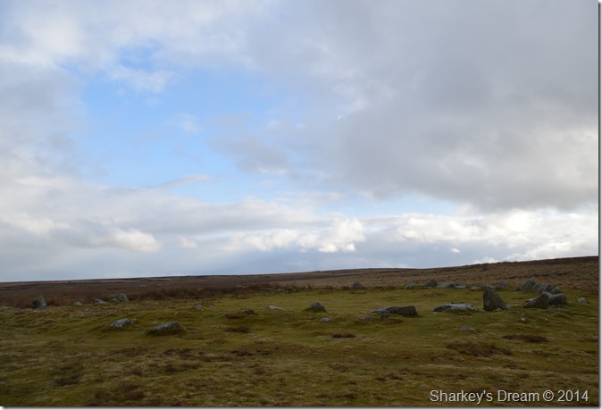 |
| The Cockpit Stone Circle. |
| The rain clears for a while leaving just the odd shower lingering which was enough to give me a ‘good drenching’ |
 |
| Atmospheric views to round of my time on the fells, here looking towards Ullswater & the eastern fells. |
I guess this walk had it all, from the seclusion of Moor Divock & Heltondale to the rolling fell sides of The Pen & Loadpot Hill, this walk stamped & more, what I had set out to do a little over six hours earlier.
Adding to this was the fantastic camaraderie I felt after a the chance meeting with my Facebook friends, when afterwards I felt as though I had know them all my life. |
|
| |
| Back to top |
 |
|