|
Pen, The Scafells & Lord’s Rake |
 |
 |
25th August 2013 |
 |
|
Although todays walk is centred around the Scafell range my main goal was to summit Pen…to do this I had to take in one of Lakeland’s most secluded & isolated areas…otherwise known as Great Moss, an area that myself, I have to reluctantly state, that I have never set foot on.
After a hard & stressful week workwise I was crying out for the solitude that only the Great Moss can provide, couple this with an ever knawing summit of Pen, well, my walk was almost put on a plate for me, the beauty & adrenalin thereafter fittingly provided the character for the rest of the walk taking in both summits of the Scafells via Lord’s Rake.
If a man or woman cant de-stress after such a route, then all hope is lost. |
|
Wainwright Guidebook |
 |
| The Southern Fells |
A hill is smooth, a mountain is rough, in the case of Scafell Pike, opinions must agree that here is a mountain without doubt, and a mountain that is, moreover, every inch a mountain. Roughness and ruggedness are the necessary attributes, and the Pike has these in greater measure than other high ground in the country – which is just as it should be, for there is no higher ground than this. |
 |
|
| |
|
Overview |
|
|
| Ascent: |
3,920ft 1,192 Meters |
| Wainwrights: |
3, Scafell Pike – Scafell – Slight Side |
| Weather: |
Warm & Sunny, Highs Of 25°C Lows Of 13°C |
| Parking: |
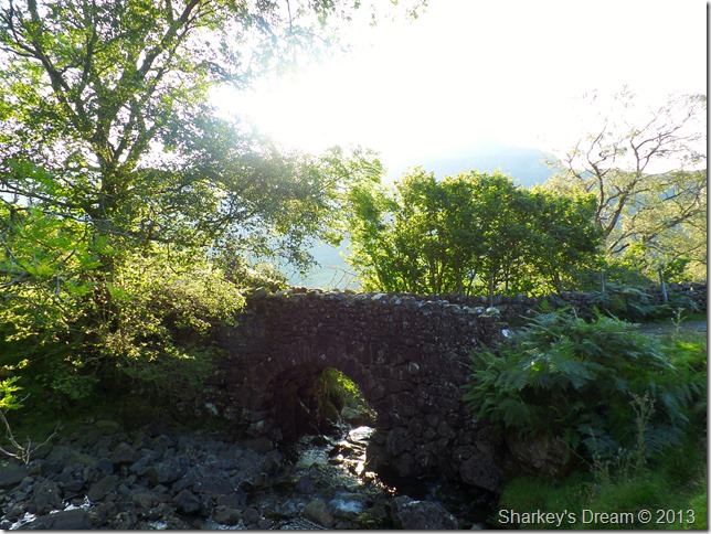
Road Side Parking, Jubilee Bridge, Hardknott Pass |
| Area: |
Southern |
| Miles: |
10 |
| Walking With: |
On my own |
| Ordnance Survey: |
OL4 |
| Time Taken: |
07:30 – 15:30 8 Hours |
| Route: |
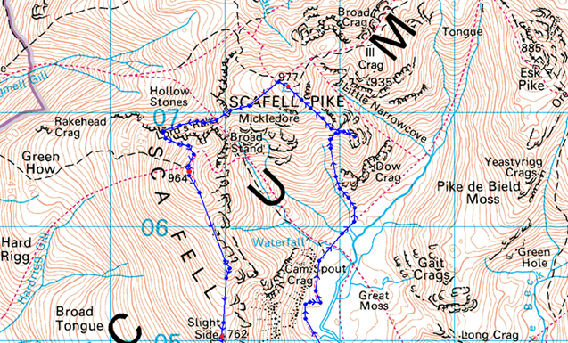
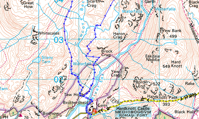
Brotherilkeld – River Esk – Taw House – Scale Bridge – Sampson’s Stones – Great Moss – Pen – Rough Crag –Scafell Pike South Ridge – Scafell Pike – Mickledore – Rakes Progress – Lord’s Rake – Scafell – Long Green – Slight Side – Catcove Beck – Taw House – River Esk – Brotherilkeld |
|
| |
|
Map and Photo Gallery |
|
|
 |
| |
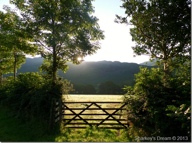
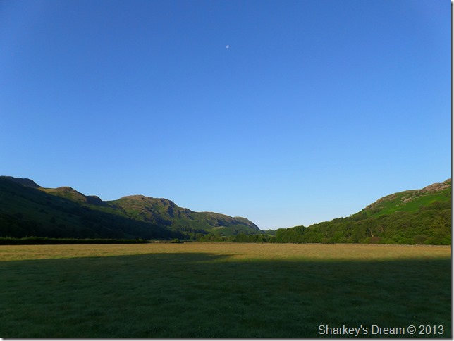
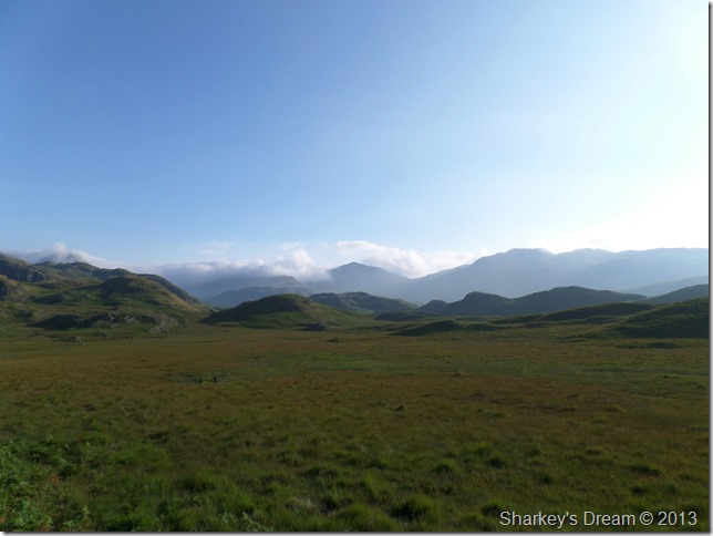
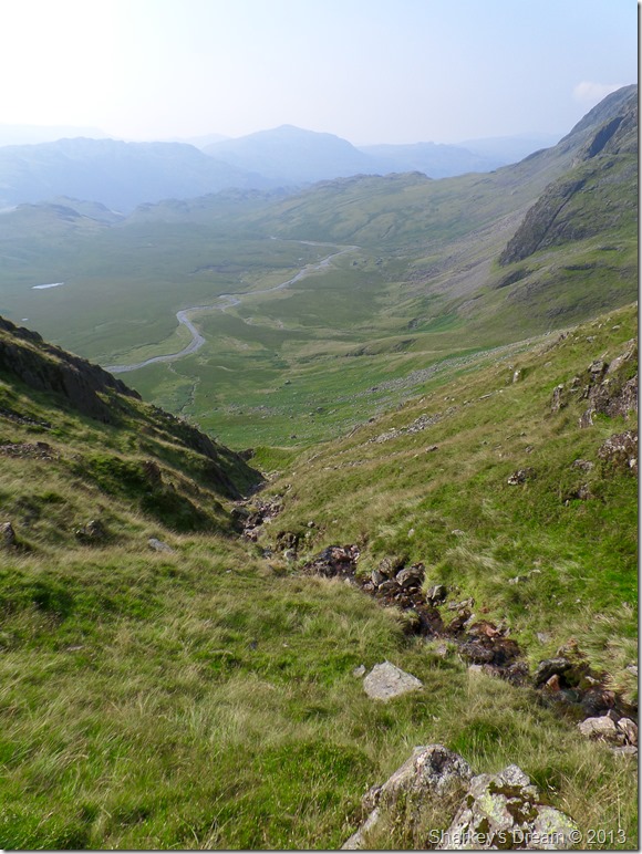
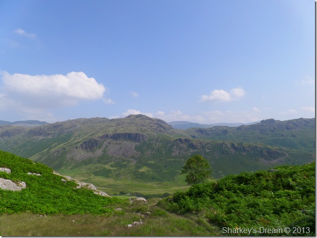
Slight Side & Scafell from Hard Knott Gill, Brotherikeld 07:30am 13°C
My heart raced more so as I drove over both the Wrynose & Hardknott Passes, if my route was not blocked by cattle, dozing sheep it was marred by the fact that both passes have deep & sometimes un-avoidable pot holes, I can only point out that more care & attention was needed since the last time I was up this way.
By the time I reached Jubilee Bridge my heart had returned to normal as I parked & proceeded to kit up in the tranquil of the morning air, I’m not sure why but I packed my jacket which when going off the weather report last night was a wise choice, although I needn’t have, what you see in the photo was my conditions for almost ninety five per cent of the walk.
The temperature will rise an incredible 12°C between now & the finish of the walk. |
 |
| |
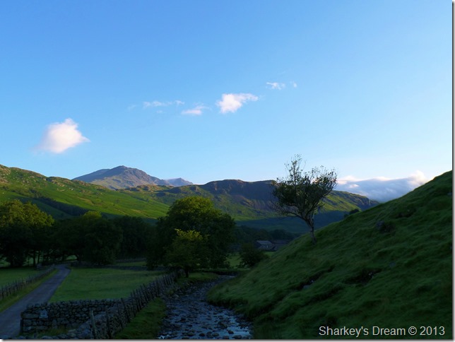
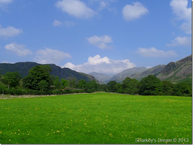
Prospects of a beautiful day on the fells were high. |
 |
| |
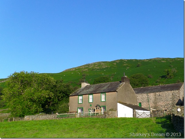
Taw House.
The previous photo was taken whilst I took the grass footpath to Taw House. Taw House is known a High Fell farm with common grazing’s that extend all the way up to the Scafell range, the farm dates back to 1806 but was actually built on the site of a much older dwelling dating back to 1723.
Whilst passing through I seem to have woken half of Eskdale up as I set the farm dogs barking as I pass through. |
 |
| |
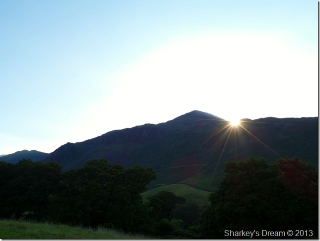
The morning sun breaches Hard Knott to my flank. |
 |
| |
Brock & Heron Crags ahead.
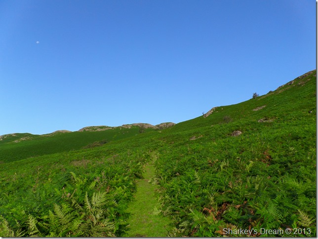
The track is very pleasant within the shade of the greenery if not a little wet underfoot, here I head for the low point just above the tree in the left of the picture where I will make my first ascent of the morning, after that, my next ascent will be ‘Pen’ which is well over three miles away. |
 |
| |
Crossing Scales Gill along the way. |
 |
| |
The first ascent of the morning with a hot sun on my back.
Here I flank Brock Crag (Eskdale) via this grassy path which is again, pleasant underfoot, the path does get a lot steeper towards the last few yards but, very cope able & enjoyable. |
 |
| |
Green Crag (L) & Great Worm Crag (R) from my ascent. |
 |
| |
Slight Side & the top of Scafell Pike as I flank Damas Dubs to my right.
There is nothing that can quite prepare you for a sight such as this, if like me, your a first time visitor to Great Moss. |
 |
| |
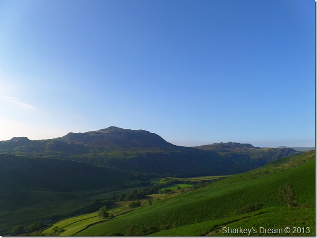
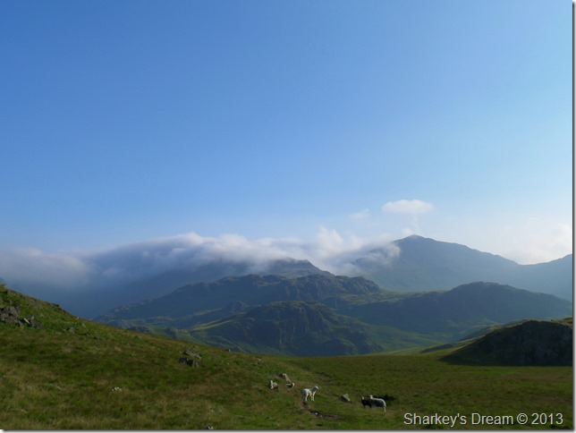
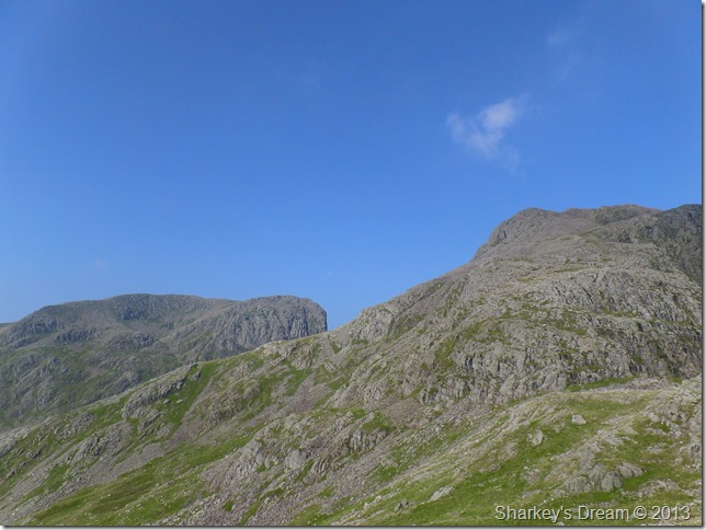
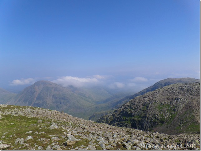
Bowfell & Crinkle Crags from Damas Dubs.
The morning cloud still clung onto the Esk Fells, from here, Esk Hause it seems…does not exist |
 |
| |
Slight Side.
The ground you see in the bottom right of the picture, stays on my left flank as I make my way to Great Moss. |
 |
| |
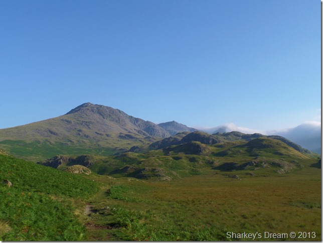
Momentarily Bowfell’s distinctive summit is revealed, while Crinkle Crags is (are) now free from cloud although it’s still quite hazy over there.
The path is straight forward & relatively dry underfoot, but still great care must be taken in trying to keep to it, losing the path in mist without a compass & map doesn’t bare thinking about here |
 |
| |
Esk Pike & Esk Hause are still not to be seen under cloud (L) as I enter Great Moss, ahead, Bowfell & Gait Crags dominate my view. |
 |
| |
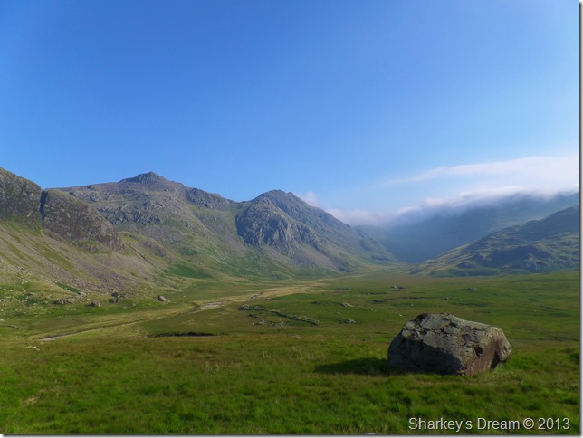
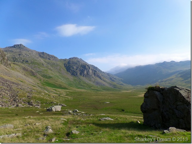
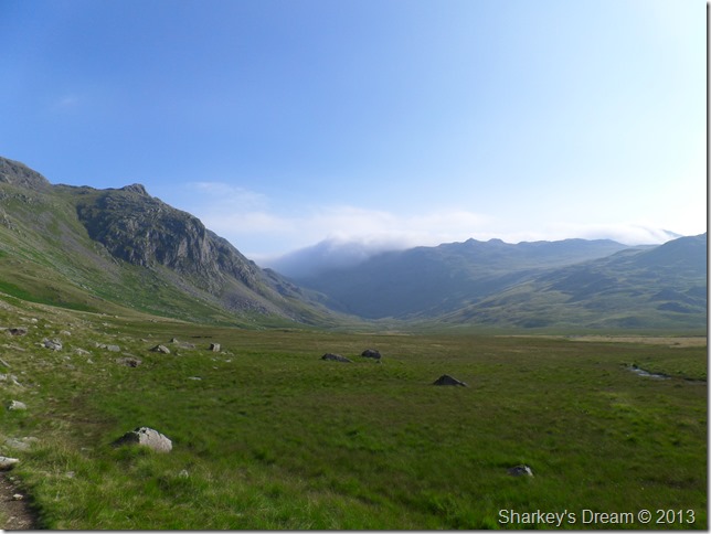
My first sight of Pen, Great Moss & Scafell Pike as I head for Samson’s Stones. |
 |
| |
That classic view over Great Moss & Upper Eskdale. |
 |
| |
This time using a little zoom showing my route summary. |
 |
| |
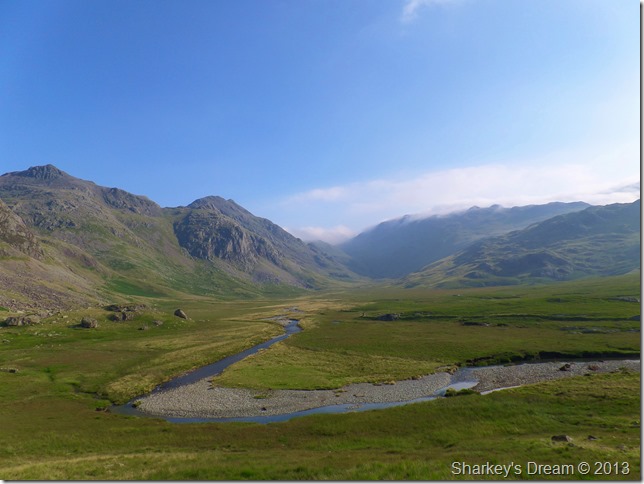
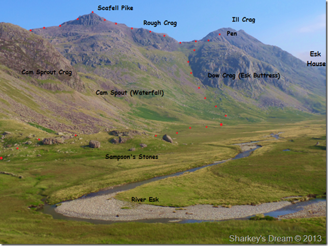
Scafell Pike, Pen (Esk Buttress) & Great Moss as I pass through the Samson’s Stones.
One of the Sampson’s Stones acts as a makeshift shelter – although which one I do not know & hopefully will never find out. The stones are result from rock fall from nearby Cam Sprout Crag & are thought to be some of thee finest volcanic rock clusters in the whole of the UK. |
 |
| |
Upper Eskdale & Great Moss.
Over 700 years ago Brotherikeld was once occupied by the Monks of Furness Abbey, it is thought that the Monks grazed Deer on Great Moss all those years ago, I suspect nothing has changed in all that time, although the Deer have long gone. |
 |
| |
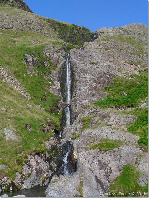
Cam Spout.
Note the climber (top right) I hadn’t spotted him until I got home whilst looking back on the photos. |
 |
| |
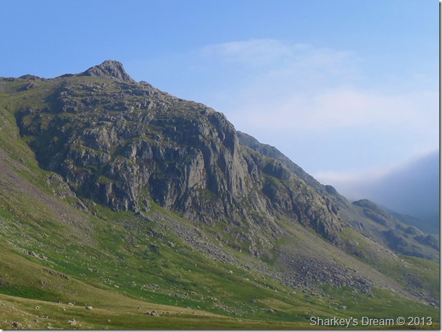
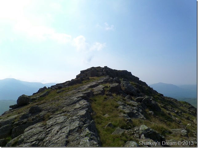
A close up of Pen. |
 |
| |
Esk Buttress together with cairn leading the way to Pen.
From the valley below Pen’s summit is obscured by the fast vertical crags of Esk Buttress.
I pick up a faint path over the terrace until I reach the base of the crags, where upon – I stay with the light coloured scree (L) until venturing further right after picking up another steep grassy path.
The ascent is tough & very steep, more so, I also had a fight with the heat which sapped energy levels very quickly. |
 |
| |
Looking back down my route. Sadistic comes to mind!
This a section of the ascent not seen in the previous photo, the ascent was done in intense heat (more so emitting from myself) from which a thumping headache occurred. I was trying to ration my hydration which was tricky as I knew my body needed water but, at the same time I needed my hydration to last the whole duration of the walk…the answer to this was half a dozen handfuls of the gill you see in the photo…not the cleanliness I might add, as the bed was strewn with moss but, free flowing & refreshing nonetheless. |
 |
| |
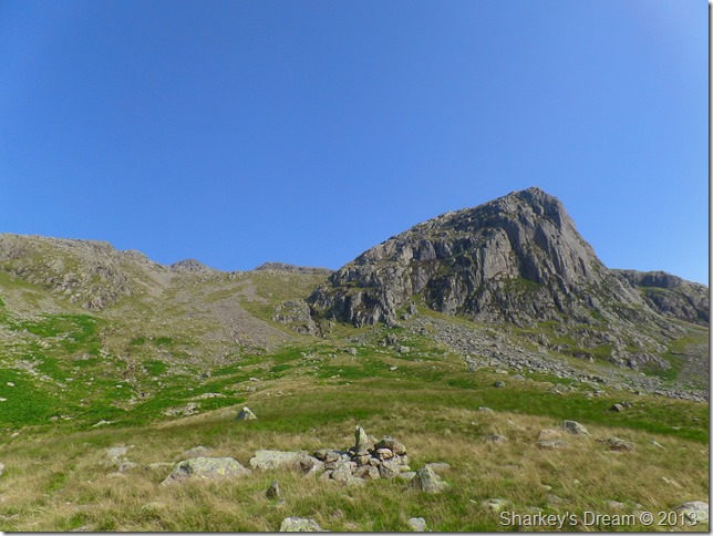
Almost there. |
 |
| |
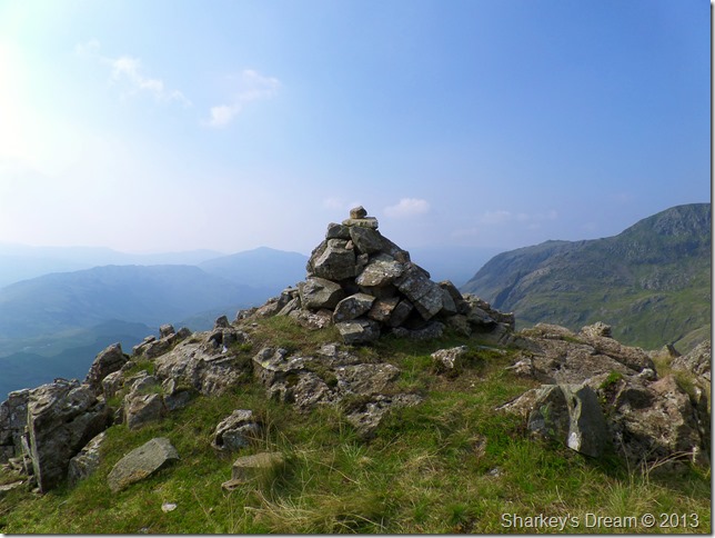
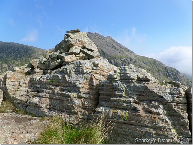
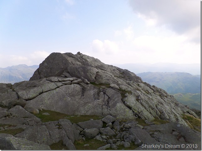
Pen summit cairn.
The views are simply magical. |
 |
| |
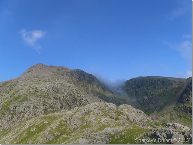
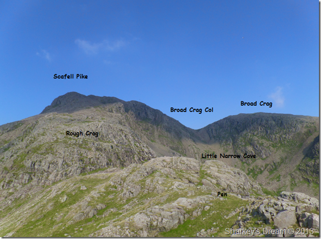
Scafell Pike, Rough Crag, Broad Crag Col & Broad Crag.
A wisp of cloud rises over Broad Crag Col seen from Pen summit. |
 |
| |
Awe inspiringly attractive, there is so much more to see. |
 |
| |
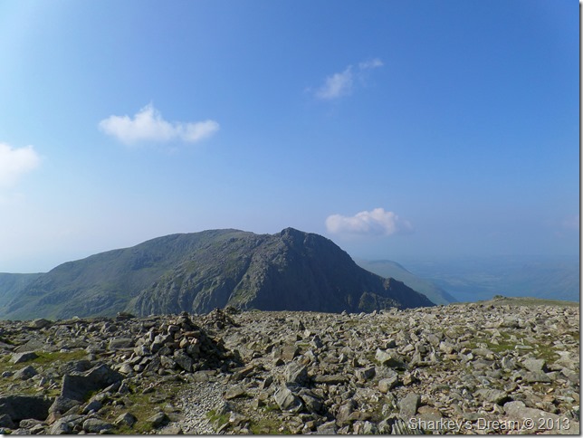
Scafell Pike (R) & Scafell East Buttress (L) from the summit of Pen. |
 |
| |
Meanwhile Ill crag dominates the view north. |
 |
| |
One last photo of the summit before I leave, this time with Ill Crag behind.
You may notice the rock formation set within the summit stone, in fact, the whole area in between Pen & the base of Rough Crag is littered with such rock formation, formed from direct fall out from volcanic eruption and from sediment deposited by rivers and mudflows. |
 |
| |
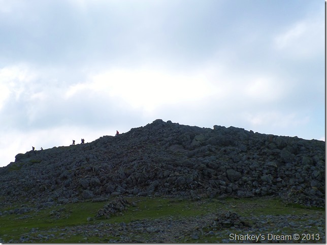
An ascent on Scafell Pike beckons.
Months ago when I first penned this walk my route would see me lose some ascent only having to gain more ascent via Little Narrow Cove then on to Broad Crag Col & finally make my final ascent on Scafell Pike.
It was only in comment with Maggie Allan, a Facebook friend, Maggie suggested I try the Rough Crag route which worked out really well & lived up to just how Maggie described as ‘A superb route’
I can’t thank Maggie enough for her input.
Cheers Maggie. |
 |
| |
Looking back down on Pen from my ascent on Rough Crag. |
 |
| |
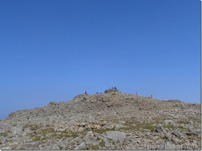
Almost at Scafell Pike summit. |
 |
| |
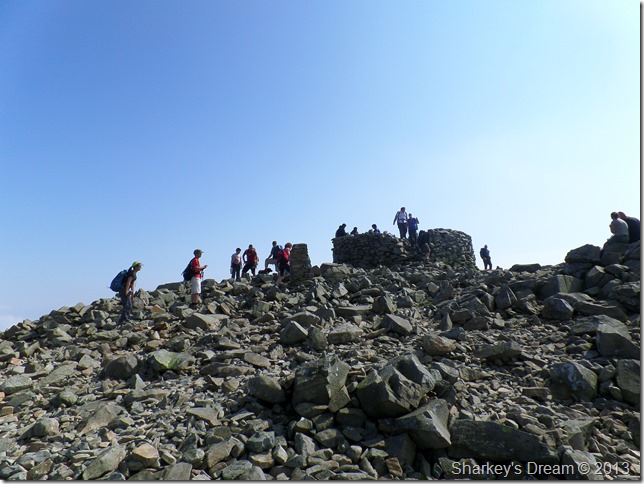
Scafell Pike summit.
I wave past the summit in search of a place to sit while I treat myself to an early lunch, unbeknown to me as I took this photo another friend from Facebook is chatting…His name is Raymond Greenhow, that’s him with his foot perched on a rock just left of the trig point.
Talk about ships in the night, I’m sure we’ll meet again given our odds here today. |
 |
| |
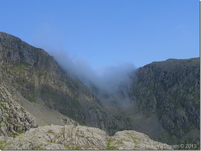
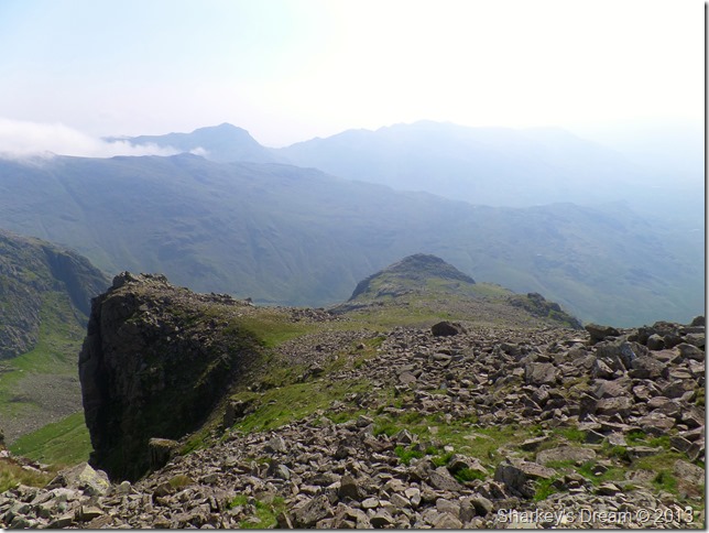
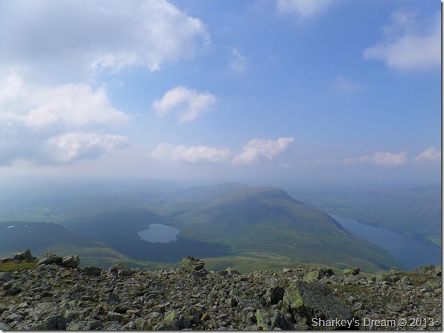
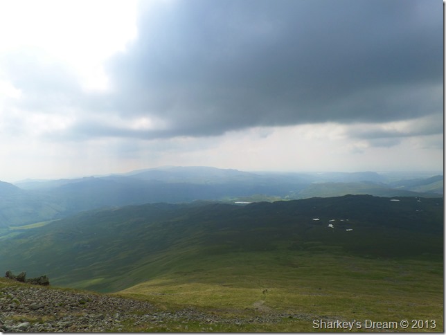
Great Gable, Styhead Tarn, Broad Crag & Great End through the haze.
It was time to head in the direction of Mickledore & leave the large amount of crowds behind. |
 |
| |
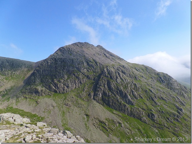
Scafell as I leave its sister peak behind.
Before taking on Scafell as mentioned earlier rather than make my ascent via Lord’s Rake why not try the Broad Stand/Fox’s Tarn route instead? I guess once Lord’s Rake is sighted the pull is always going to be greater than that of the latter route.
Does this mean I am never going to try the alternative? of course not, just not today. |
 |
| |
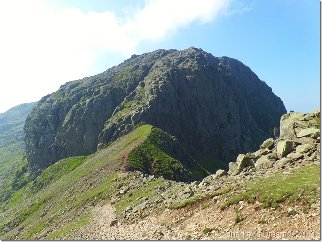
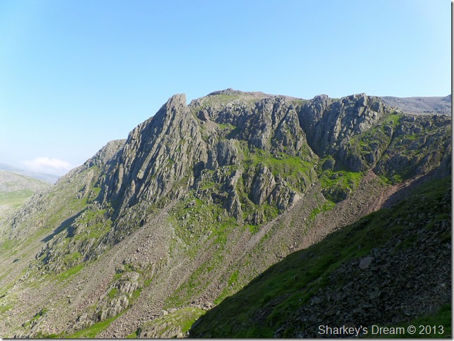
Broad Stand & Mickledore.
I yearned for the shade of Scafell Crag & Lord’s Rake, for at least the next half hour I should be given the chance to cool down if not only for a little while.
After crossing the Mickledore ridge I hook a right down a nasty steep section, to gain the traverse leading to the base of Lord’s Rake. |
 |
| |
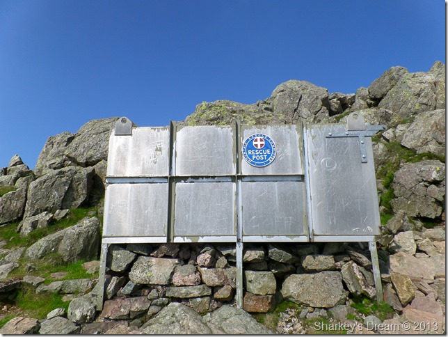
Not before passing the stretcher box with a quick stretch out myself. |
 |
| |
Pikes Crag & Pulpit Rock after descending Mickledore.
It was whilst descending Mickledore did I take a slight fall resulting in two bloodied cuts to both my left shin & right knee after slipping on would you believe; sheep droppings, it all happened very quickly – I even managed to snag my walking pole sending me further forward than I anticipated, all very uneasy with a bruised ego to follow.
Not the best state of mind before attempting Lord’s Rake I guess, but after a mental dust down I soon got myself back together even though my heart was still going ten to the dozen.
I hadn’t noticed the blood pouring down both my legs & with my hands still covered in grit & what-not, I had to leave it there until I reached the top of the Rake, where I took some long wet grass & wiped the blood which now had a nice mixture of dust & grit in it, the sheep droppings covered both of my boots and covered my legs all the way up to the back of both knees.
I must have looked a right mess. |
 |
| |
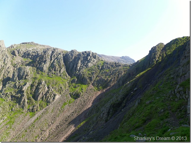
Mickledore & Mickledore Buttress seen from Rake’s Progress.
Lord’s Rake
It does a man good to realise his insignificance in the general scheme of things, and that is, his experience here A.W |
 |
| |
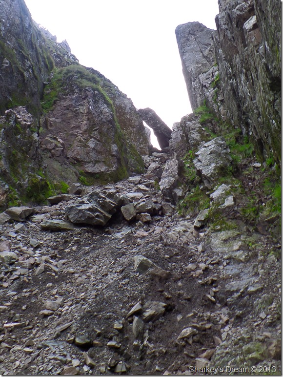
Nearing the Chock Stone at the top of the first section of Lord’s Rake.
Lord’s Rake was under some very damp conditions, this making the ascent more slippery than in my own last two experiences, here great care was taken, hence only the one photo until I reached the Chock Stone. |
 |
| |
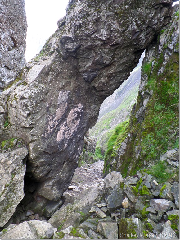
Looking back down Lord’s Rake beneath the Chock Stone.
It was time to clean myself up which I did accordingly, as I look back from the safety of my study I can say that I must have still been in a little shock at this stage, adding to this was the moment I walked almost the length of the Rake before having to go all the way back after realising that I had forgotten my Bloc Billy’s whilst I’d cleaned myself up here at the Chock Stone.
A little composure was needed. |
 |
| |
Nearing the summit of Scafell.
After exiting Lord’s Rake I took in the steep ascent as I flanked Symonds Knott via the rock strewn path, here I was glad of the shade which cooled me down, from here the sun light was broken as the cloud intensed high above. |
 |
| |
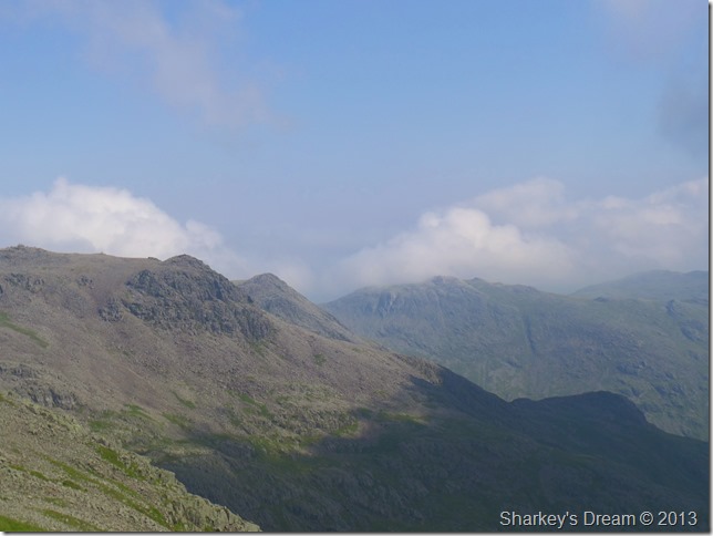
A hazy view towards Burnmoor Tarn, Illgill Head & Wast Water. |
 |
| |
The haze continues as I took this photo looking back on Scafell Pike, Ill Crag & Esk Pike…the shaded giant bottom right is the mighty Pen. |
 |
| |
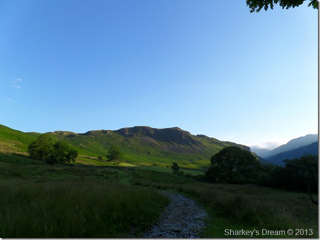
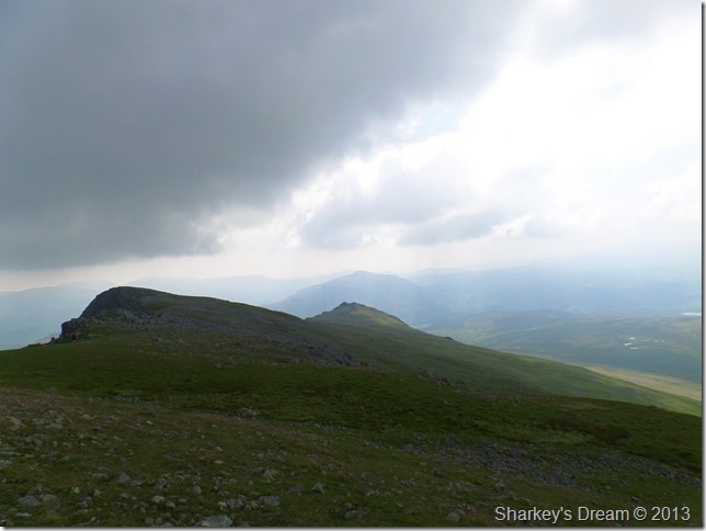
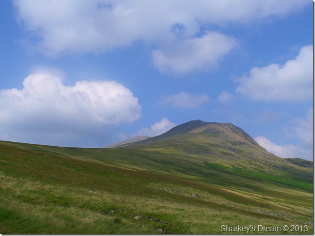
Long Green & Slight Side as I leave Scafell behind. |
 |
| |
Slight Side summit.
This sadly was about how close I could get to the summit cairn without being overcome by flying ants, Lakeland experiences this phenomenon each summer when every living insect with two wings ascend around the summit cairns, out of all the summits in todays walk, Slight Side was the worse with the blighters. |
 |
| |
Leaving Slight Side for Eskdale.
I follow the rocky path descending Slight Side that detours Quagrigg Moss, here the path is easy to follow until a small cairn is reached at which point I took a fainter path leading me lower down the fell side. |
 |
| |
Looking back on Slight Side with a brief glimpse of Scafell behind. |
 |
| |
Cat Crag with Harter Fell (Eskdale) silhouetted behind.
The path continues to the right of Cat Crag towards the low point seen ahead. |
 |
| |
Hard Knott from the top of Cat Gill.
Instead of following the path all the way back to Wha House Farm I took this detour via Cat Gill, the map suggests this was of steep descent but I found it a quite relaxing way off the fellside.
Footnote
Descent via Cat Gill will bring you out almost on top of Taw House Farm, during todays descent the route was waist high in bracken in some parts. |
 |
| |
Bowfell from Taw House.
With my walk almost over I had time after crossing the River Esk close to Brotherikeld Farm to de-shoulder pack scoop the cold water of the River Esk into my mouth, over my face & through my hair…I also took the time to wash my legs which were still covered in blood & sheep droppings (a nice combination that I had carried for almost two hours!)
My feet ached a little as I passed through Brotherikeld back to Jubilee Bridge where inside the boot of my car was two litres of Robinsons orange juice which went down nicely without pause.
There are places that you will walk & never forget…Great Moss is one of them. |
|
| |
| Back to top |
 |
|