|
The Uldale Fells |
 |
 |
9th August 2013 |
 |
|
My weeks holiday was almost coming to an end & besides spending some great family time together I now had the task of finding some fell time in between the heavy rain showers that Cumbria & indeed much of the country had been experiencing.
Although it is fair to say I’ve spent some great days on the fells this week I couldn’t help but wonder that If I’d have booked the previous week off instead I’d have settled for much dryer & much warmer weather, but, we cant have it all & I for one isn’t complaining, just merely making an observation.
(There’s some sarcasm in there somewhere!)
This walk had been arranged for some weeks between Tim my walking buddy & myself with exceptions of it would have been walked on the Saturday not the Friday as I did, the reason why Tim isn’t here today is that Tim is on a family holiday himself, so I guess that’s another great excuse for returning north sometime soon.
The northern fells occupy the Back ‘O Skiddaw & Blencathra, they mainly consist of rolling fellside & long undulating grassy ridges, they, are also well known for being rather damp & at times their paths are seldom, navigation under cloud can also be quite difficult for the novice of walkers.
But when presented on a day as I had today when rolling cloud sandwiched itself between me & summit there is no finer place in the whole of the district that I would rather have been, seclusion at its upmost, fell walking at its grandest.
This is the Uldale Fells. |
|
| Wainwright Guidebook |
 |
| The Northern Fells |
- Knott :
If the party consists of more than one person, and if, further, a bat, ball and wickets can be found in the depths of somebody’s rucksack, a cricket match can be played on a turf that many a county ground might covert.
The solitary walker, unable to indulge in communal games or pastimes, will find himself wondering who carried up the stones to mark the cairn, and whence they came: must have been another lonely soul with nobody to play with! |
 |
|
|
| |
|
Overview |
|
|
| Ascent: |
2,401 Feet, 732 Meters |
| Wainwrights: |
5 Great Calva – Knott – Great Sca Fell – Brae Fell – Longlands Fell |
| Weather: |
Overcast, Some Sun, Threats Of Rain Not Amounting To Much, Light Gusts, Highs Of 18°C Lows Of 16°C |
| Parking: |
Parking Spaces, Peter House Farm, Orthwaite |
| Area: |
Northern |
| Miles: |
11.5 |
| Walking With: |
On my own |
| Ordnance Survey: |
OL5 |
| Time Taken: |
6 hrs |
| Route: |
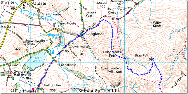
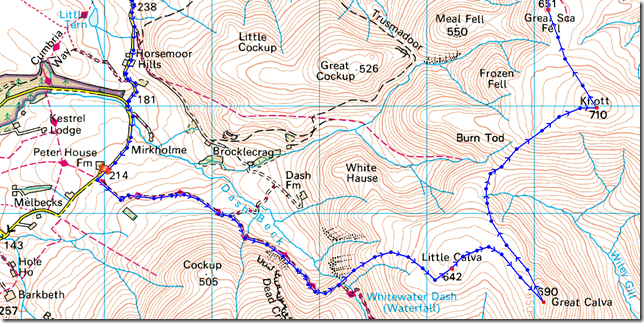
Peter House Farm – Cumbrian Way – Dash Falls – Little Calva – Great Calva – Top Of Hause Gill – Knott – Great Ska Fell – Little Sca Fell – Brae Fell – Broad Moss – Longlands Fell – Longlands – Lowthwaite – Orthwaite – Peter House Farm |
|
| |
|
Map and Photo Gallery |
|
|
 |
| |
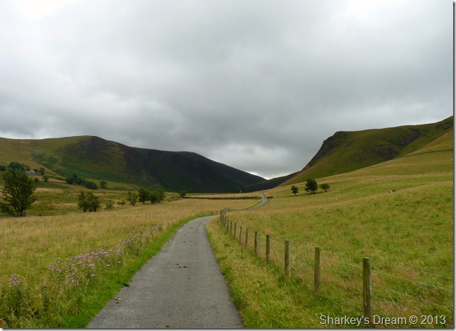
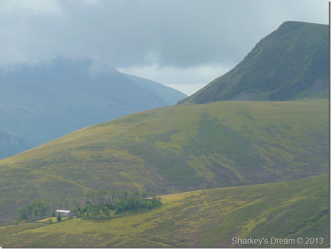
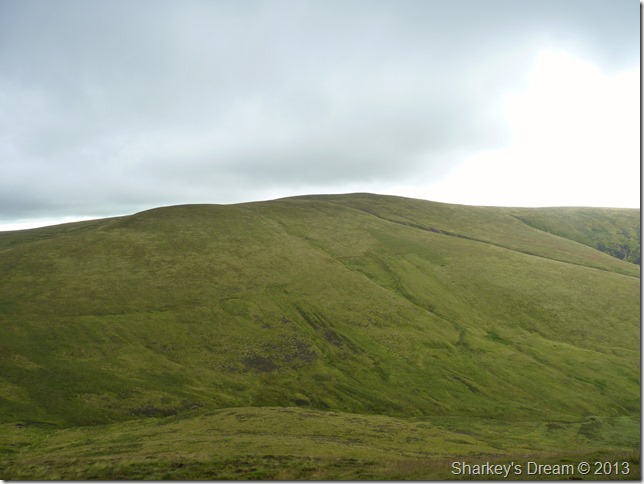
Dead Crags/Bakestall (R) & Little Calva (L) from the Cumbrian Way 10:30am 16°C
Bushes scatter in the wind as I arrive at the parking spaces at Peter House Farm about half a mile behind me, before turning the engine off I watch a while whilst listening to the wind from the comfort of the car.
Besides the wind it’s quiet, and one way or another your going to have to leave the car & kit up.
The air is muggy & not what was expected from the drivers seat, this however does not stop me reaching for the jacket, the shorts as through the summer months, make up my walking attire.
Before I put my boots on I apply two coats of plasters underneath my right ankle, a niggling injury that I have picked not through the scale of walking most days this week, but through what I can only think of; lacing my boots up too tight around the lower eyelet areas.
I am soon under way already regretting putting the jacket on, but for now I’ll sweat it out & see how things pan out. |
 |
| |
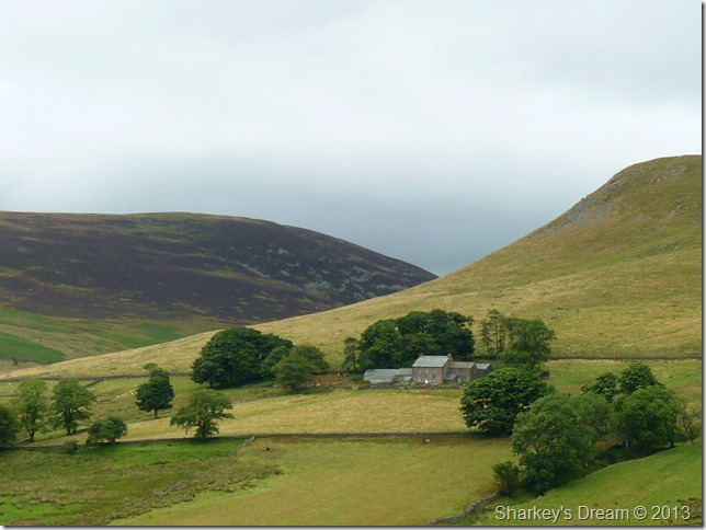
Dash Farm & White Hause as seen from the path. |
 |
| |
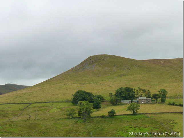
Good Morning…
I spy & hear the farmers quad as it ticks over, the farmer is somewhere below whistling orders to his dogs who round up three sheep in the back of a small trailer.
I received the pleasantest of Good Mornings as he stepped on his quad & road the sheep away, here the farmer watches his two dogs as they trail his flanks. |
 |
| |
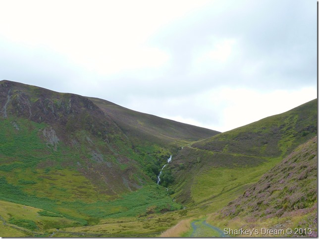
Dash Falls, Little Calva & Birkett Edge from the track.
With Dead Crags now at my right flank I now start to take on some ascent via a run of zig-zags out of sight to my right, the path then continues towards the top of Dash Falls which this morning, is a great accompanying sound during my early stages of the walk. |
 |
| |
Here’s Dash Farm again seen from a different angle. |
 |
| |
Here, looking back on Dead Crags, Dash Beck & Binsey in the far distance. Brockle Crags & Little Cock Up can be seen in the lower right of the picture. |
 |
| |
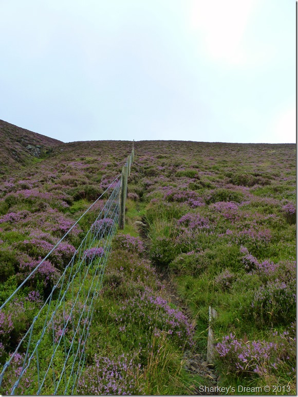
Dry Gill & the steep pull up Little Calva from the top of Dash Falls.
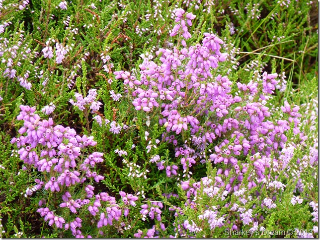
Don’t worry its not as steep as the photo looks but that isn’t to say this ascent won’t get the calf’s going because it will. Here the floral heather is in full bloom & covers the track well in places.
The wire fence is taught tight & no matter how I try not to, the odd hand grip always came in handy.
Further up the ascent the path through wear & tear falls in & out of what can only be described as troughs, sometimes thigh high, couple this with the heather I soon found myself wet through from the waist down. |
 |
| |
Skiddaw House & Lonscale Fell close up.
It was always nice to look for photo opportunities (more commonly known as getting your breath back breaks) |
 |
| |
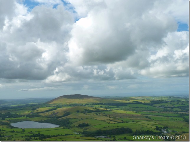
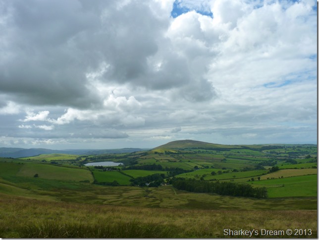
Great Calva from Little Calva summit cairn.
With most of the hard work behind me all I had to do was concentrate on how I was going to keep my feet dry between both summits as this is known as a very wet area at the best of times, In the end I am a fell walker, a man who knows when his stubbornness is beaten, only then will you wade through the bog not giving a dam, wet socks an all. |
 |
| |
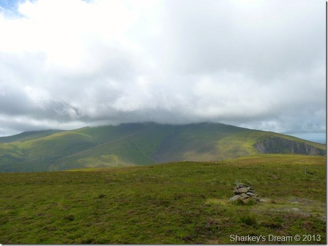
Skiddaw topped out by cloud from Little Calva.
This was the best light I witnessed Skiddaw in, not once did I witness its summit above the cloud for the whole duration of the walk. |
 |
| |
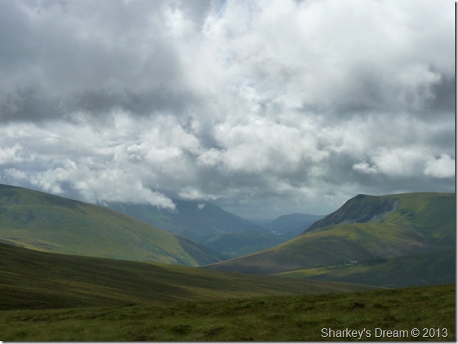
With Views all the way to Grasmere taken between Little & Great Calva.
A.W described this view as The Trough, an undisrupted fault line stretching over & beyond Dunmail Raise some eleven miles away.
Since first witnessing this fantastic view myself many years ago I now consider it to be one of the best views Lakeland has to offer…Apologies in advance if I go a little overboard during the next few pictures. |
 |
| |
With a little zoom.
Here in the far distance Thirlmere can be seen. |
 |
| |
Great Calva summit cairn with views of the central fells.
Due to my late arrival in Lakeland today (10:30am) it was now approaching lunch time as my stomach quite often reminded me, behind the cairn & over the wire fence is the summit cairn, which was a perfect place for a spot of lunch. |
 |
| |
Try & find that view from a fancy restaurant!
I de-shoulder pack & place it in the entrance of the shelter as I tuck my way as far back as I possibly can whilst trying to make the most of the stone shelter.
It was whilst I sat eating my sandwiches did I notice just how black things were going, I wont bore you with details but a very short, but heavy shower ensued as I dashed for my waterproof trousers.
I’ve got to say it was probably the quickest I’d moved all morning by all accounts & by the time I had the trousers on & had sat back down again the downpour had stopped leaving a fresh scent about the place.
I decide to leave my waterproofs on just in case before shouldering pack & heading down the summit shoulder towards Hause Gill & my next summit of Knott.
On reflection after having these marvellous views from my lunch table leaving Great Calva was the best part of the whole walk for me which just goes to show just how much I’m enjoying myself up here today…
The sporadic low cloud that sandwiched the fells helped heaps too. |
 |
| |
Descending Great Calva for Hause Gill.
Hause Gill or (the top of) is the lowest point between Great Calva & Knott (R) My usual descent would have been made by keeping much further left keeping with a wire fence (out of shot) Instead today I had the brainwave to avoid the bogs by steering further right, this route did keep me a little drier & comes out just beneath the main path where all I had to do was climb up around ten feet or so where I soon found myself on the main path again.
Footnote
Leaving the path as I did here is only recommended in good weather. |
 |
| |
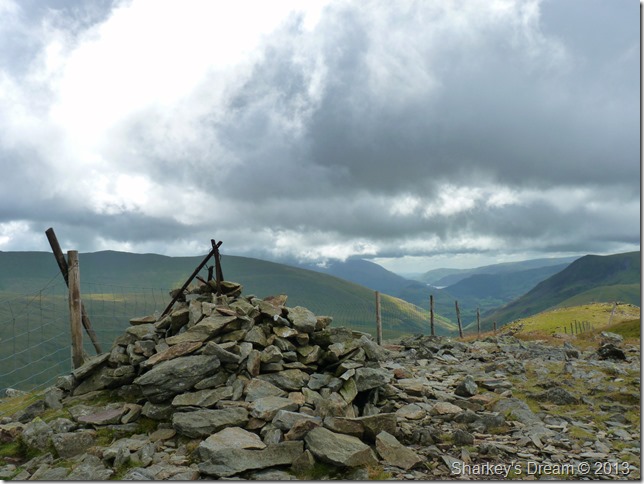
A cross section of Knott from the top of Hause Gill.
Knott is described as being long & narrow hence my photograph, incredibly Knott reaches almost four miles from end to end.
It is also steep in ascent as I am about to find out! |
 |
| |
From the top of Hause Gill.
Here looking south (left to right) towards Bowscale Fell, Bannerdale Crags & Blencathra. The shaded peak in the right foreground is Great Calva. |
 |
| |
In the other direction here looking north we have Burn Todd with Bassenthwaite Lake in the left of the picture, it seems the cloud is getting more & more dramatic as it seems to hover just high enough to create a fantastic ambience about the place. |
 |
| |
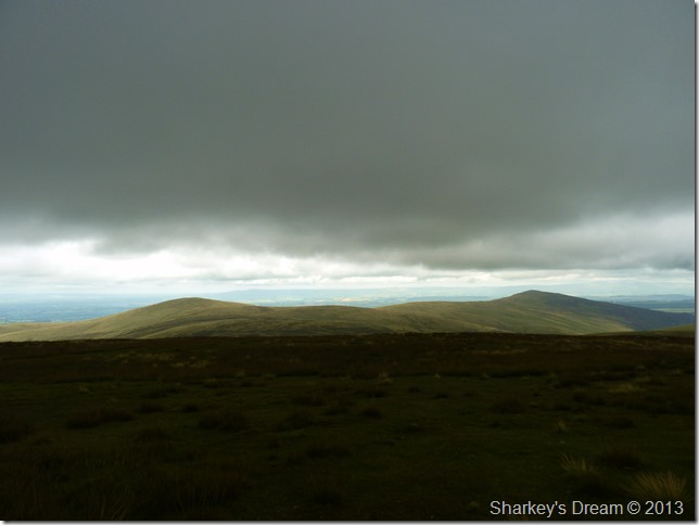
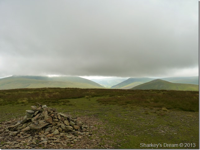
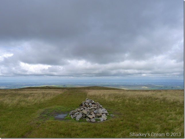
High Pike & Carrock Fell from Knott.
The light created was fantastic as the cloud passed over the fell tops. |
 |
| |
Here looking south from knott summit cairn. |
 |
| |
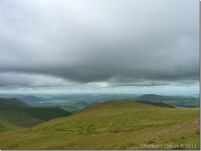
Bassenthwaite Lake & north west Lakeland towards the Cockermouth & the Cumbrian coast. |
 |
| |
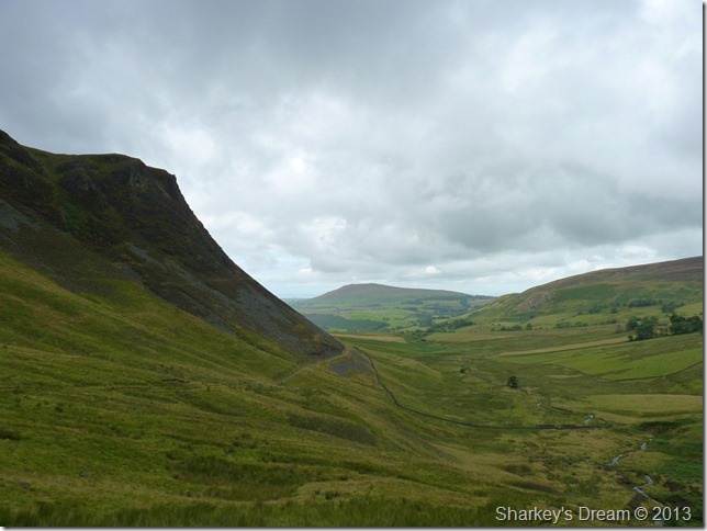
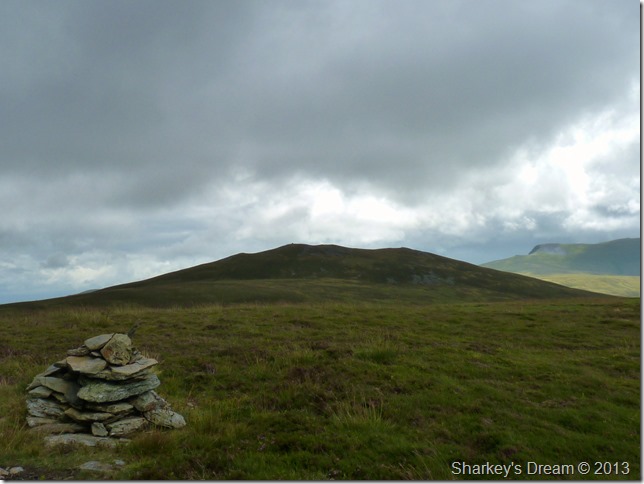
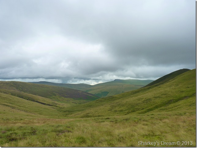
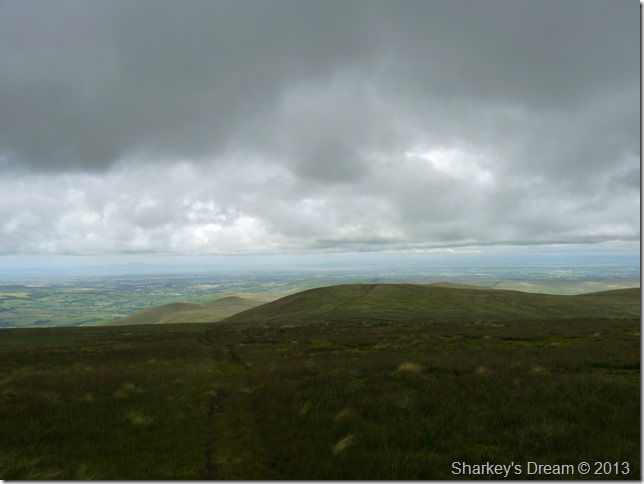
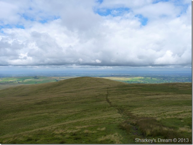
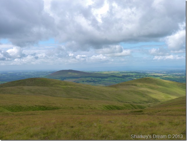
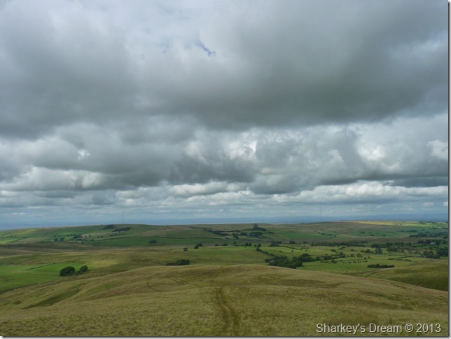
Great Sca Fell & Brae Fell after leaving Knott.
My next three summits are within shot, after the small ascent on Great Sca Fell (foreground) I will head further north taking in Brae Fell (seen as the brown peak to the right of Great Sca Fell) from Brae Fell a little double back is needed in order to reach Longlands Fell which is the brown fell top seen to the left of Great Sca Fell…the peak behind Longlands is that of Lowthwaite Fell, all of which are a little time away yet.
This is walking at its best, a place where a man/woman can think. |
 |
| |
High Pike dominates my right flank as I make my way over to Great Sca Fell. |
 |
| |
Great Sca Fell summit cairn looking north towards Brae Fell seen here as the peak on the left. |
 |
| |
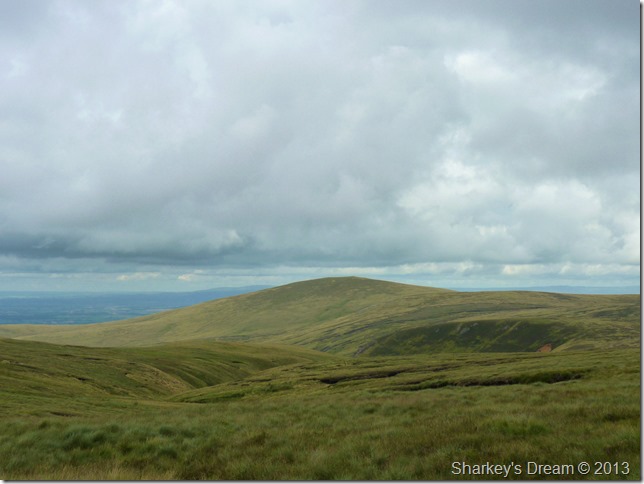
Brae Fell seen after leaving Little Sca Fell.
It seemed as if it was trying to brighten up a little the more north I walked, this was confined to the Uldales as in every other direction for now, the cloud hadn’t breached Skiddaw & still had a nasty streak of grey in it. |
 |
| |
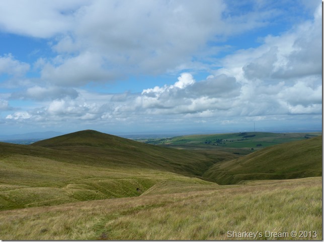
As I made my way over to Brae Fell I took this photo looking towards Lowthwaite Fell, Longlands Fell & Binsey. |
 |
| |
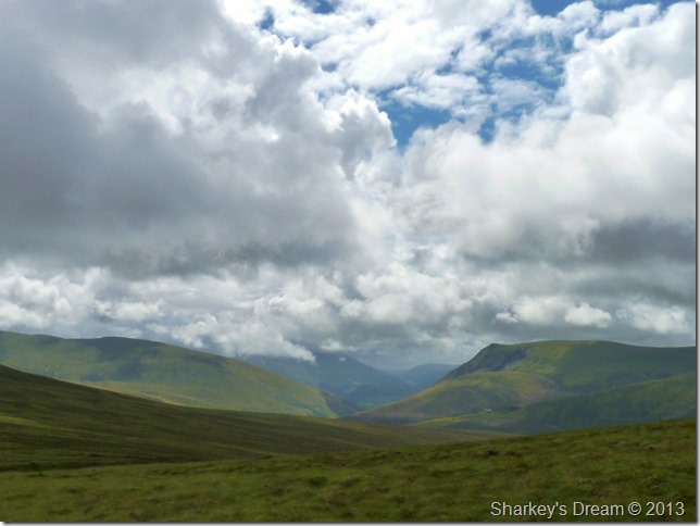
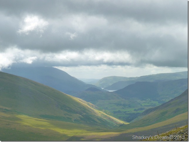
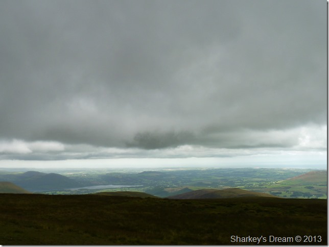
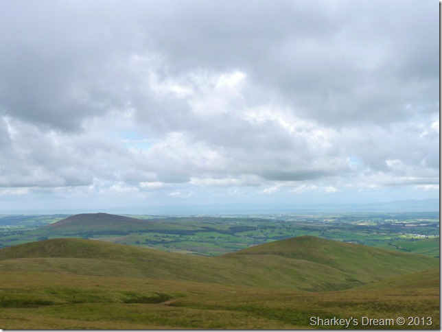
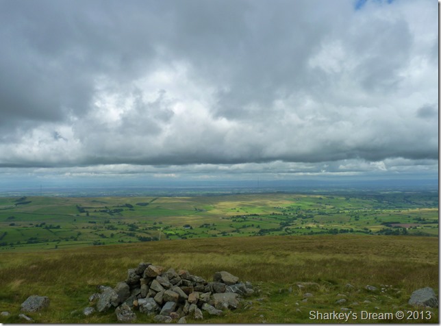
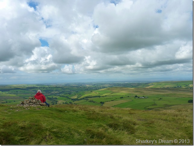
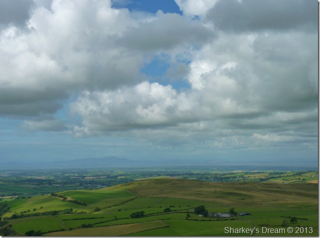
Beyond Caldbeck towards the Solway Firth from the summit of Brae Fell.
Since leaving Great Calva I hadn’t really rested so here I took some time out & sat myself down at the stone cairn, a camera no words can describe the wind & the clouds above for those few moments. |
 |
| |
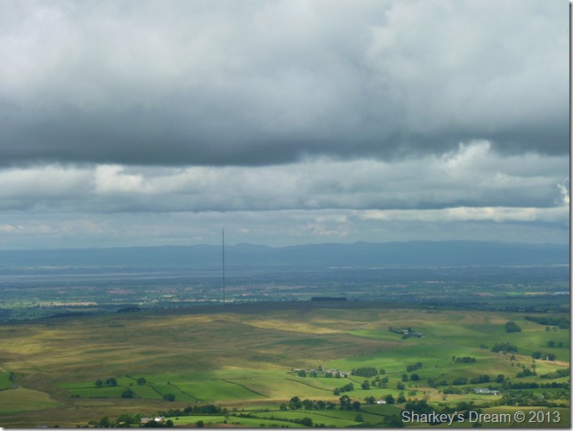
The Scottish hills beyond one of the Caldbeck Transmitters. |
 |
| |
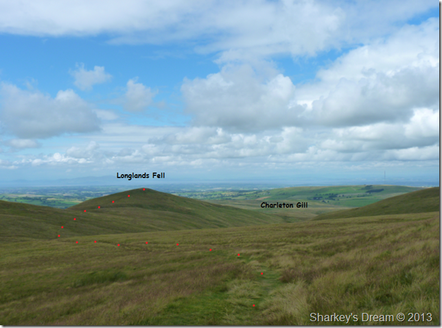
Lowthwaite Fell, Longlands Fell, Binsey together with Charleton Gill in the foreground.
My route would see me swoop around the head of Charleton Gill & flank Lowthwaite Fell via a substantial grassy path, you can just make out the path in between Lowthwaite Fell & Longlands Fell seen from here as a faint darkish line. |
 |
| |
Longlands Fell from the top of Charleton Gill.
My waterproofs were long overdue to come off so it was here I unzipped & took the time to carefully roll them up neatly back into my pack, this reflecting my mood as normally they’d just get stuffed into the bottom of my pack ready for another day. |
 |
| |
Longlands Fell summit, nice chap, didn’t get his name.
My first encounter with fellow walker during my whole walk, I could of happily snapped away without him knowing, then seamlessly passed on making my descent but instead I passed on my Hi as he returned my gesture, I almost felt guilty for disturbing his peace. |
 |
| |
Over Water & Binsey now from Longlands Fell summit. |
 |
| |
Descent via Longlands Fell north ridge.
If you look carefully you may be able to spot both Caldbeck Transmitters in between the headland & cloud, beyond is the Solway Firth with distant Scottish Hills visible.
My exit of the ridge lay left, or you can carry on towards the end of the ridge, or, take as I did, a short cut nearer the bottom then back towards the hamlet of Longlands & The Cumbrian Way. |
 |
| |
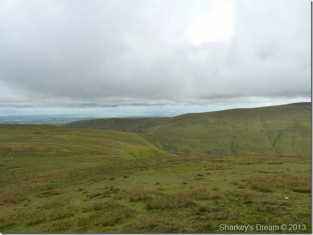
Aughertree Fell & the Solway Firth from my descent. |
 |
| |
Over Water & Binsey together with Longlands seen through the trees in the foreground. |
 |
| |
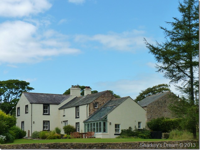
Take note for when I win the lottery!
As I headed down into Longlands I couldn’t help but fall in love as I walked past this property, I’m sure the owners appreciate its location but not as much as I do. |
 |
| |
Long Side Edge taken just outside Orthwaite.
With my walk almost over I had time to reflect on just how much I enjoyed it, overall I can say that todays walk is up there with the best of the years so far.
Although I still had walked over a mile already since leaving Longlands I still had under a mile & half back to Peter House farm to go, this was done while kicking stones along an almost derelict part of the Uldale’s narrow roadways, even opting out of a lift back to my car by a perfect stranger.
There was no way I was going to get into that 4×4 even after the kind gesture by the local, that last few miles was going to be done under my own steam as I plucked at the long grasses that lined the roadway & finished the remains of my hydration pack.
After 735 miles travelled this walk will bring my week to an end, every jam, every repeated song, the early morning rises & the blisters.
Until next time. |
|
| |
| Back to top |
 |
|