|
Cat Bells & Castle Crag from Portinscale |
 |
 |
6th Augut 2013 |
 |
|
With planned walks still on hold due to a band of wet weather I had to come up with an alternative route for todays walk. It’s been a while since I was last up Castle Crag, who am I kidding as I know I’ve only made the one ascent back in 2010 while on a tour of my Wainwrights.
This route is unlike anything I’ve done before with a mix of everything from parks villages lots of people & some fell time too, the idea was planted during a recent walk with David Hall when we got talking about quick decision routes or something along those lines I can’t quite remember, nevertheless Cat Bells & Walla Crag was mentioned I thought why haven’t I ever thought of that?
I tucked the combination of the route away for another day not realising that I may call upon it so soon.
As mentioned I’ve been long awaiting a walk through the bowels of Eskdale, I’m hoping that the weather may stay dry through the week so I get my wish but until then here’s a long walk from Portinscale to Castle Crag & back. |
|
Wainwright Guidebook |
 |
| The North Western Fells |
-Castle Crag:
If a visitor to Lakeland has only two or three hours to spare, poor fellow, yet desperately wants to reach a summit and take back an enduring memory of the beauty and atmosphere of the district…let him climb Castle Crag. |
 |
|
| |
|
Overview |
|
|
| Ascent: |
2,753 Feet 839 Meters |
| Wainwrights: |
2, Cat Bells – Castle Crag |
| Weather: |
Muggy & Overcast, Little To No Wind, Highs Of 18°C Lows Of 15°C |
| Parking: |
Roadside Parking, Portinscale Suspension Bridge |
| Area: |
North Western |
| Miles: |
14.5 |
| Walking With: |
On my own |
| Ordnance Survey: |
OL4 |
| Time Taken: |
7 hrs 30 min |
| Route: |
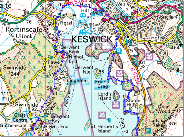
Portinscale – Nichol End – Fawepark – Skelgill Bank – Cat Bells – Hause Gate – Manesty – Grange – Allerdale Ramble – Castle Crag – Cumbrian Way – Rosthwaite – Puddingstone Bank – Watendlath – Road to Ashness Bridge – Ashness Wood – Surprise View – Ashness Bridge – Ashness Jetty – Calfclose Bay – Friars Crag – Keswick – Moot Hall – Stormwater Bridge – Portinscale |
|
| |
|
Map and Photo Gallery |
|
|
 |
| |
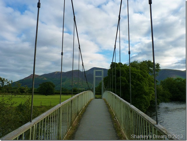
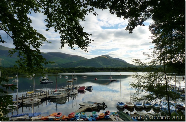
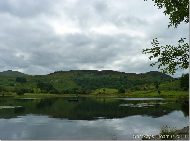
Skiddaw from Portinscale Suspension Bridge 07:30 15°C
It’s still pretty early as I arrive on the outskirts of Keswick no less than a five minute walk from the hamlet of Portinscale, there is a newness about the morning as my parking spot is also new to me much like what I’m about to expect for the next few hours in my alternative route planning.
Campervans curtains drawn line the narrow lane as I kit up, I am careful not to cause too much of a disturbance.
With the car locked I soon find myself on my way as my footsteps cause an echo & the gentlest of sway as I make my way over the structure, one thing never changes I mutter.
You are, & will always be…a heavy footed bugger. |
 |
| |
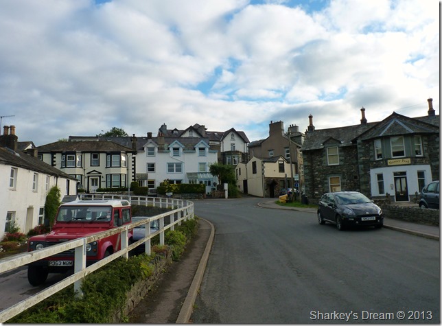
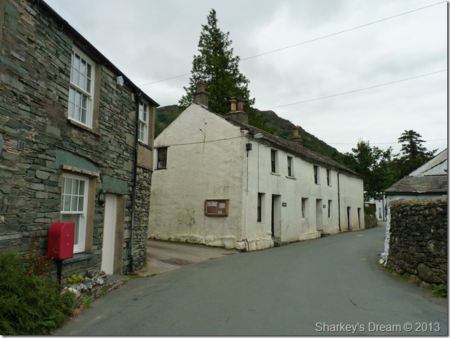
Sleepy Portinscale.
I’ve never had the chance to walk through Portinscale up until this morning, usually I drive through on my way to & from Newlands but all that changed this morning, here looking back up the main street through the village towards the junction ahead, turning left will take you back to the A66 turning right (where I had just come from) will take you back to the Suspension bridge, a connection I had never used until this morning. |
 |
| |
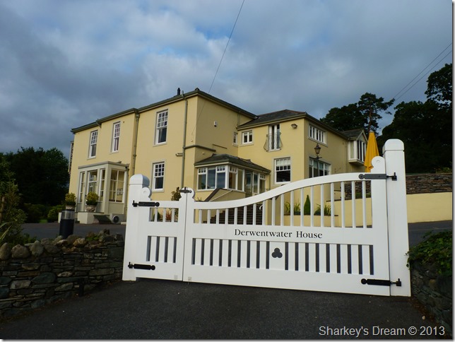
Derwentwater House.
It’s only while you walk through the village do you get the chance to admire its beautiful buildings |
 |
| |
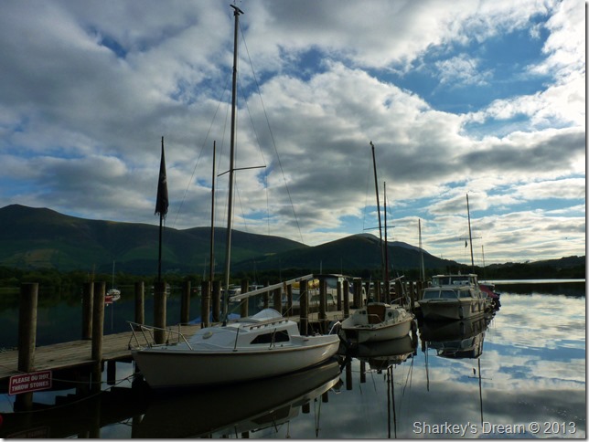
Nichol End.
After a mile or so I veered left & headed towards Nichol End landings. Morning on Derwent Water was possibly the calmest I’d seen as the cloud reflected like a mirror, here I take a photos as two guys open up the boating clubhouse behind me, standing there is a woman much the same as me with grey hair, she’s much too young I think to have grey hair but suits it, she smiles as I pass her to take on my next leg of the walk in Fawepark.
Maybe just another photo first. |
 |
| |
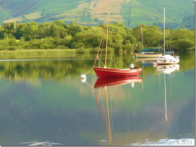
Sailboat reflections. |
 |
| |
Latrigg over Nichol End.
Footnote
The morning calm was about to come to an abrupt end regarding the brightness of the morning sunshine, after leaving Nichol End I passed through densely populated woodland in Fawepark, after emerging sometime later the sun had retreated & in came in a blanket of grey cloud.
Still, good while it lasted. |
 |
| |
Fawepark.
Fawepark makes a lovely low level approach to Cat Bells or indeed Newlands, while here It seems I have the place to myself although I cant see it being this peaceful in a few hours time |
 |
| |
Cat Bells.
As I emerged out of the woodland as mentioned the light had faded somewhat which didn’t really change for the duration of the walk, the air was very muggy which seemed odd given there was no sun around.
My next intention was maybe to have a walk over to Hawes End, this can be done after passing through the woodland ahead & keeping left, it wasn’t too far out of my way & looking back, I now regret it; but seeing as the walk was already a long one I didn’t want to add to an already long walk. |
 |
| |
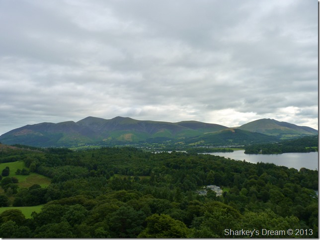
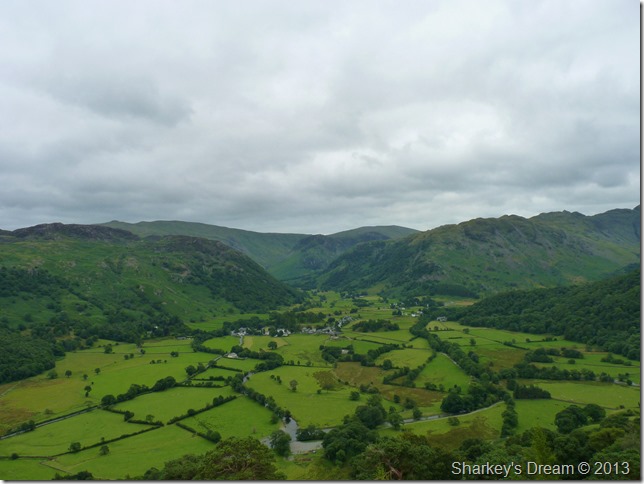
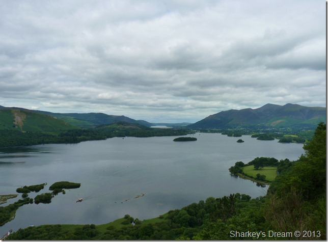
Latrigg, Blencathra, Walla Crag & Derwent Water from my sticky ascent. |
 |
| |
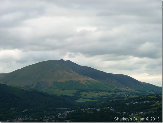
Skiddaw & Blencathra under overcast skies.
My route is shown through both Overside Woods & Fawepark, if you look carefully you may be able to spot a clearing in the centre of the wooded area, this is the area I took my first photo of Cat Bells from. |
 |
| |
The views start to open up with the more height I get, the cloud however, remains the same. |
 |
| |
The view over to Blencathra. |
 |
| |
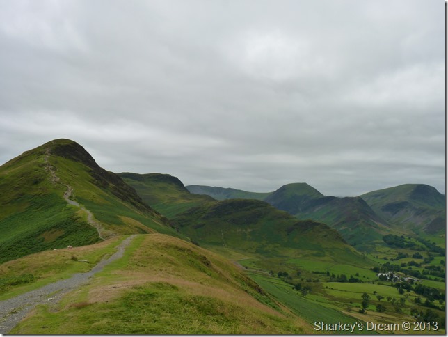
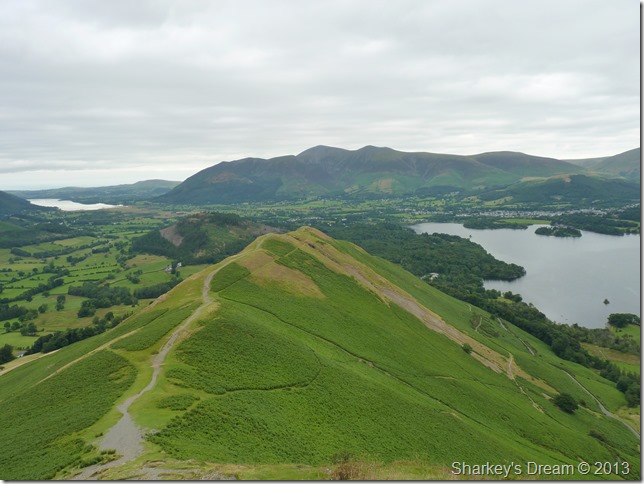
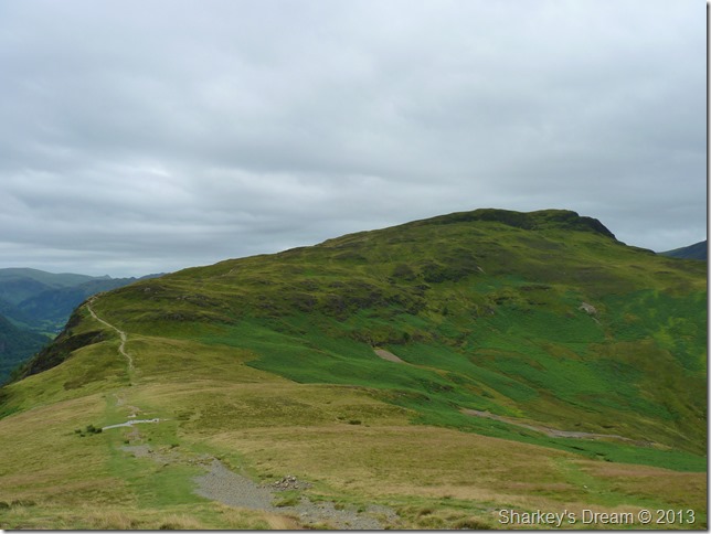
Cat Bells, Maiden Moor, High Crags, Hindscarth & Robinson from Skellgill Bank.
This is a lovely section across the ridge to the summit where here today I have the whole place to myself which is something said considering the popularity of Cat Bells, enjoy it while you can Paul |
 |
| |
Looking back along the ridge with not a person in sight.
This scene has always been a favourite of mine (when you can get it minus the crowds) as it brings back fond memories as with most people who start their walking career on this here fell.
Here the Skiddaw fells & Bassenthwaite are never far from view. |
 |
| |
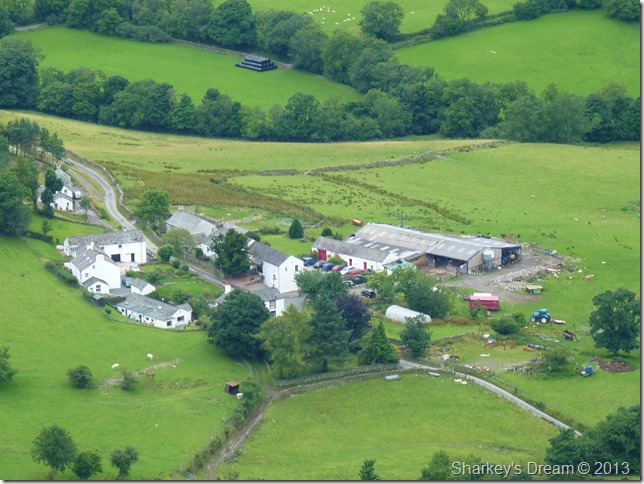
Little Town from above. |
 |
| |
Here, looking towards the main eastern ridge from Clough Head to Fairfield from the rocky outcrop on Cat Bells summit. |
 |
| |
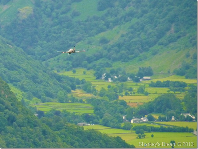
An Tucanos flies low over Borrowdale.
I had the pleasure of this Tucanos for a few moments as he zipped by me at some tremendous speed, the plane flew by me twice banking a full left displaying its black & yellow markings, sadly all I managed was a blur but I must thank the pilot for at least letting me have a few shots even if this was the only one that turned out. |
 |
| |
Maiden Moor & Yewthwaite Comb from my Cat Bells descent. |
 |
| |
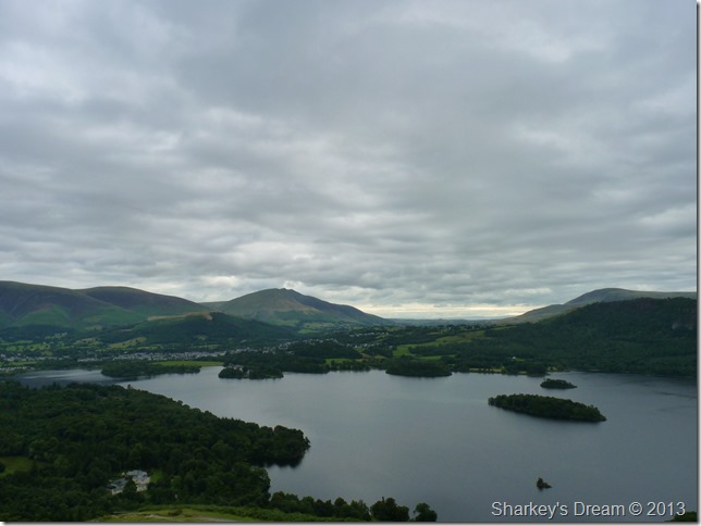
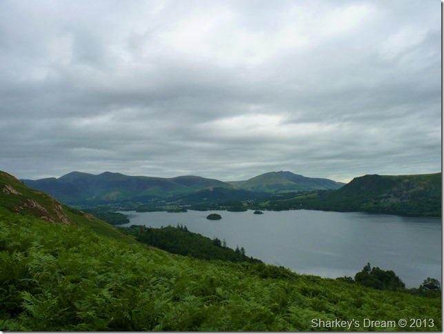
Looking back on Derwent Water from High Ground.
It was only here did I pass the my first person of the day, a bloke much the same age as I in full waterproof clothing, I smiled & passed on my good mornings only wearing my shorts & base layer, after a quick look back on the fellow he was starting to layer down. |
 |
| |
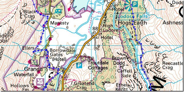
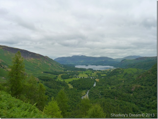
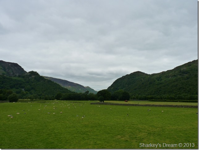
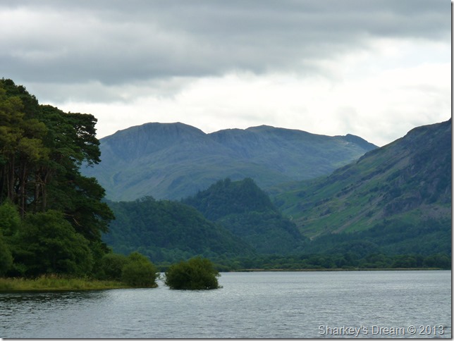
Kings How, Castle Crag & Low Scawdel as I drop down into Manesty.
At only 985 Feet Castle Crag can disappear from view quite easily once down at valley level, here I took the opportunity to take a photo before I reached the road below.
Manesty & Grange were on my next agenda, seeing as I was almost upon Manesty all I had to do was follow the narrow road all the way into Grange, it was just me & the birds as I headed into Borrowdale. |
 |
| |
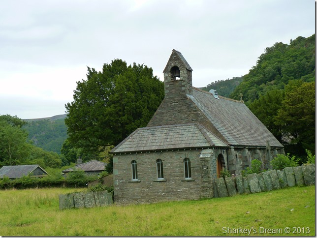
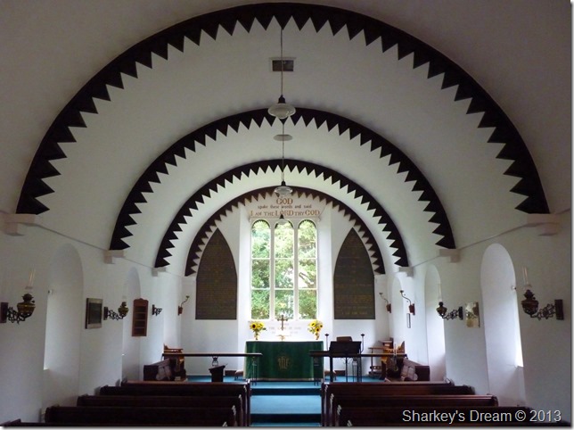
Holy Trinity Church Grange circa 1675
It was only now as I entered Grange did I start to meet locals, walkers & touristy type people, all here enjoying what was turning a quiet morning into something that resembles town like rather than village.
As I passed the entrance to the church I read a welcome sign on the gate post inviting people in. |
 |
| |
Inside Holy Trinity Church.
The decor is named Dog Tooth which speaks for itself really, considering the small congregation that is normally held here in Grange I didn’t expect the church to feel so grand once inside. |
 |
| |
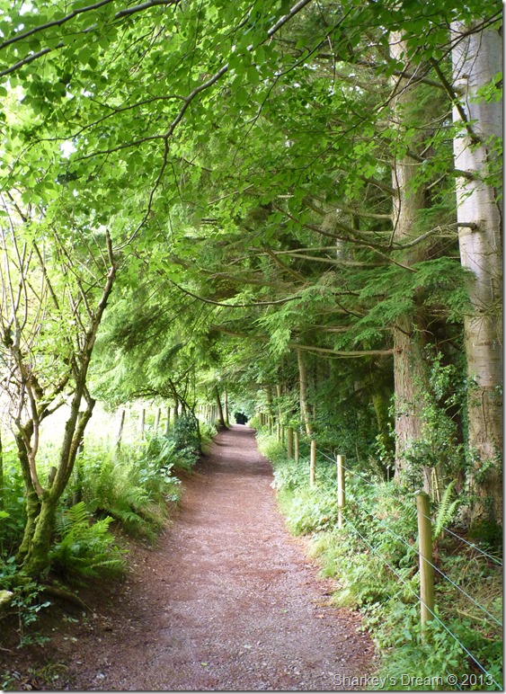
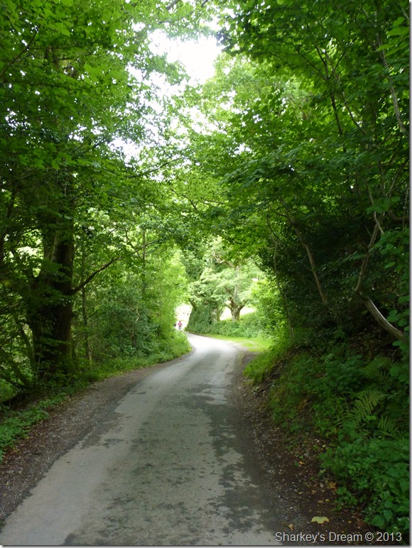
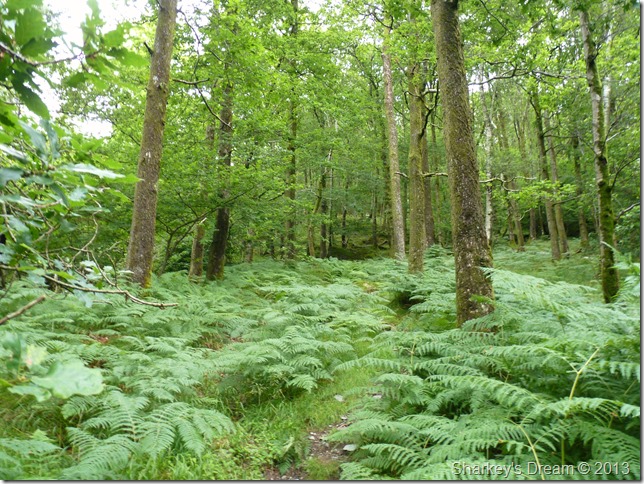
Holme Crag Woods en route to Castle Crag.
After leaving Holy Trinity Church I took an immediate right turn & entered Holme Crag Woods, here the track is pleasant with no ascent at all, by now I was starting to pass more & more people out for a morning stroll, at this rate I think…Castle Crag is going to be one busy summit, thank god not everyone was heading in the same direction as me. |
 |
| |
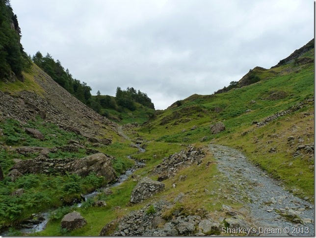
Broadslack Gill.
I spy a crude path up the south face of Castle Crag, it looks steep so I continue ahead to where the path bends off right, here you can pick up the main summit path for Castle Crag. |
 |
| |
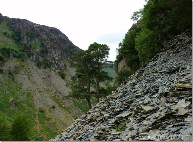
From the steep ascent Scott’s Pines line much of the hillside. |
 |
| |
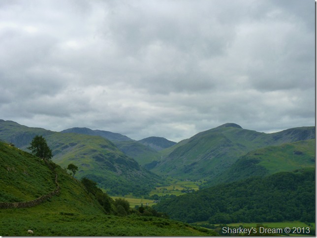
Borrowdale & Stonethwaite from my ascent.
Otherwise known as the best square mile in Lakeland “The Jaws Of Borrowdale” |
 |
| |
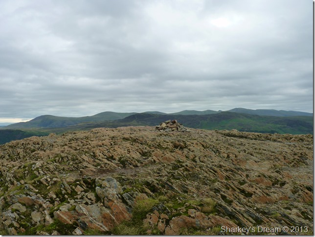
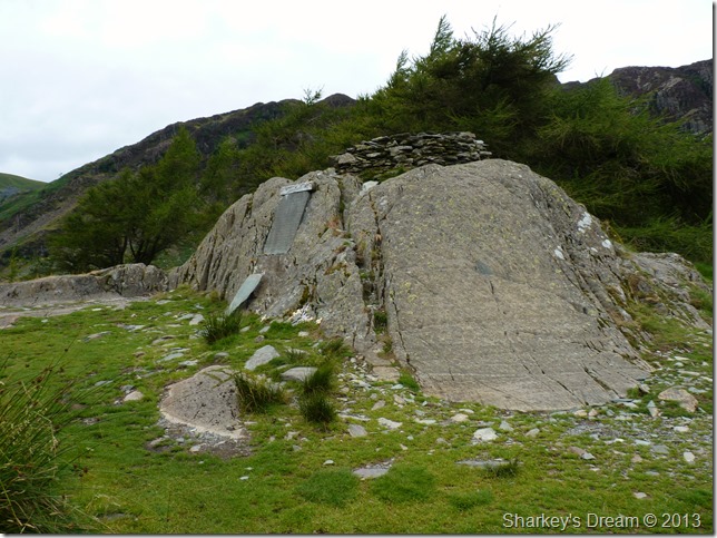
Castle Crag summit.
I had passed many people on their way down from the summit & quite a few were behind me & on their way up so little time was spent here. |
 |
| |
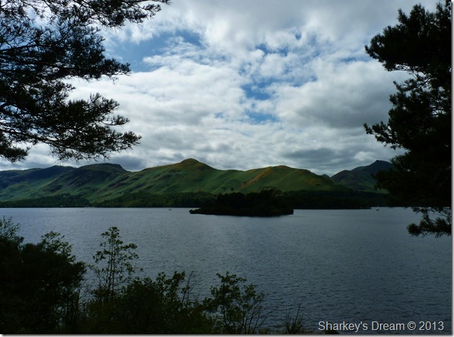
Here looking towards my last summit of Cat Bells seen as the far peak over in the distant left of the photo, seen centre is the River Derwent as it winds its way to Derwent Water with the Skiddaw fells in the distance, over in the far right of the photo is a distant Walla Crag, up until now I’m not too sure if Walla Crag will be in todays itinerary. |
 |
| |
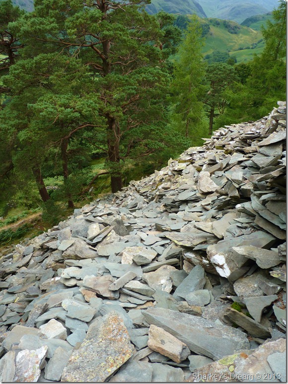
Descent by High Hows Woods.
It was now time to head off & down into Borrowdale by means of a slate path cut into the hill side & by no means the safest descent I had used.
The descent path was extremely loose as I picked my way down through High Hows Woods via yet another very narrow path seldom seen by the light of day leaving it very slippery, so much care had to be taken from Lakelands smallest summit. |
 |
| |
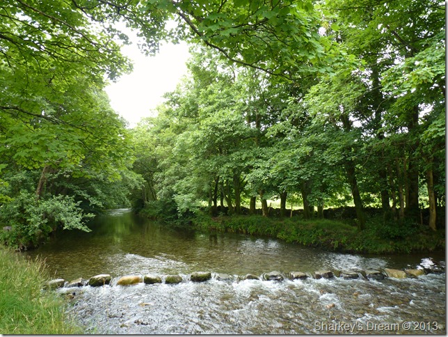
High Hows Woods.
It was nice to be on even ground again after the rather devilish descent via the slate heaps, I seem to think that the High Hows rather than Low Hows is much steeper & less used than say from Grange, here the path is narrow until it emerges close to the banks of the River Derwent again. |
 |
| |
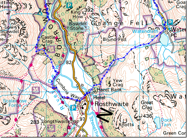
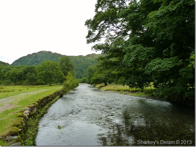
Kings How & The River Derwent close to Rosthwaite.
Although it may not seem it there are plenty of families & walkers around the area, all coming from the direction of Rosthwaite via the path you see here over on the left of the picture. |
 |
| |
Stepping stones over the River Derwent. |
 |
| |
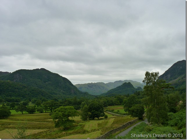
Castle Crag & Kings How from Yew Tree farm Rosthwaite. |
 |
| |
This time without the zoom showing Cat Bells as the pointed peak in the far distance.
From here distant travelled looks quite far, but the scene does not take in the distance between Cat Bells & Portinscale which is a further two half miles up the valley!
I haven’t had no real rest to speak of as Rosthwaite is getting quite busy by now so I figure its best to wait until I reach Watendlath, by then much of the ascent will be out of the way & the rest will be more than welcome. |
 |
| |
Rosthwaite.
After turning left I hook an immediate right signposted Watendlath, it is here I pick the path up for Puddingstone Bank & Watendlath. |
 |
| |
The view into Seathwaite from Puddingstone Bank.
Families line the route as a steady line of people head into Watendlath, my legs feel fresh as I manage to overtake a good few of them, the midday heat is starting to hot up minus the big yellow object in the sky… |
 |
| |
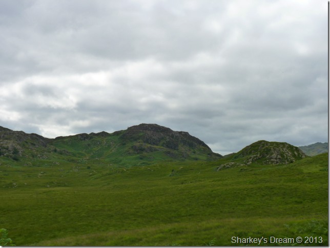
Great Crag & Knotts from the top of Puddingstone Bank. |
 |
| |
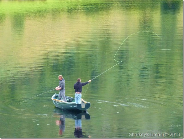
Fly fishing down at Watendlath Tarn. |
 |
| |
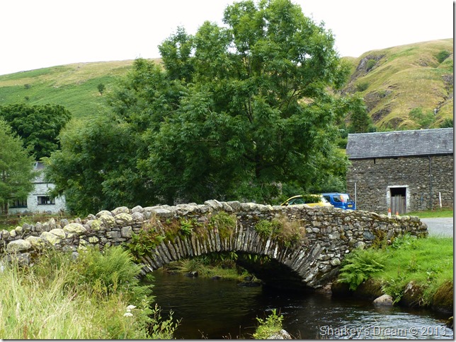
The ancient packhorse bridge at Watendlath.
The cafe at Watendlath is brimming with visitors all enjoying their lunches at one of Lakelands most beautiful hamlets.
After descending Puddingstone bank I have in mind a wooden bench that maybe I could eat lunch at, the chances of of that bench being empty are as good as Wigan Athletic winning the FA Cup…
Whoops!
The chances of said bench being empty are remote to say the least, and guess what? two elderly occupants are sitting there, they watch me as I take photos… I watch them in envy…I really could do with a sit down right now.
Lunch on the go it is. |
 |
| |
Not before one last photo. |
 |
| |
The road to Ashness Bridge.
(Or Watendlath depending on your direction of travel) |
 |
| |
Derwent Water from Surprise View.
Surprise View is busy, packed with teenagers with mobile phones, I look on as one young girl stands on one leg as close to the edge as she dare gets…I look on as even myself is thinking she is off balance with all her weight tipped forward, I cant do it I want to get closer but I cant (laughing)
Hey, you was close enough there I say, one foot from the edge is close enough, you almost gave me a heart attack for a moment, you do realise that there is a sudden drop don’t you? no ledges just one long drop till you hit the ground…
Please be careful I say & by the look on her face I think I’ve shocked her & her plimsolls enough to stay away from the edge. |
 |
| |
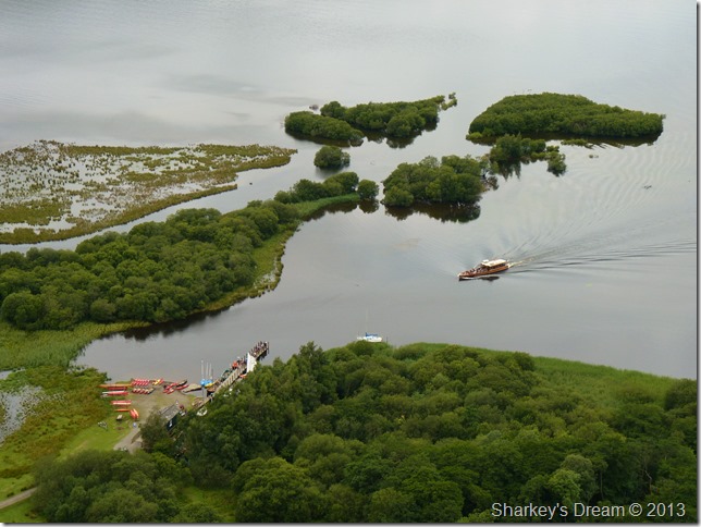
The view down on Ladore Landing stage as the cruiser is about to arrive. |
 |
| |
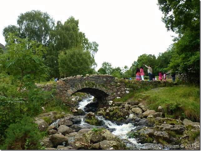
Ashness Bridge.
I arrive at Ashness after finishing the remainder of my lunch, I have been on my feet all day without a real sit down as I contemplate an ascent on Walla Crag.
From the car park a string of people line the ascent, this makes my decision to not give the ascent ago, besides if nothing else, my legs need to rest.
Families ask me to take pictures as I crossed the ancient pack horse bridge, I oblige adding to the fact that Ashness Bridge is possibly thee most photographed bridge in the whole of the Lake District. |
 |
| |
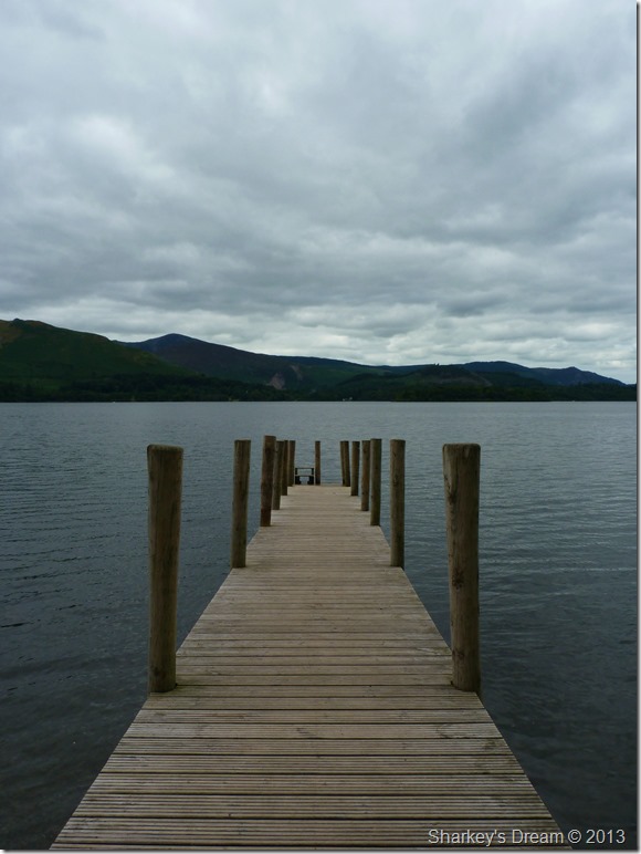
Ashness Jetty.
After crossing the Borrowdale Road I make the short journey to Ashness Jetty, here I have the place to myself, the water level is much higher than that of a few weeks ago since I was last here as the lake path is all but under water.
I spot people scrambling through the trees higher up the shoreline, they don’t look as if they are enjoying there shore walk so with this I head back onto the road just in time to save a family dog from being run over.
I cradle the dog & carry it back to its anxious owners, after what seemed a million thank you’s I am soon on my way in the direction of Keswick before I spot an exit onto a much wider path just before I reach Calfclose Bay. |
 |
| |
Zooming in on Castle Crag with Great End in the far distance from Calfclose Bay. |
 |
| |
The sun is out as I round Calfclose Bay, here spying my chances with Cat Bells through the trees. |
 |
| |
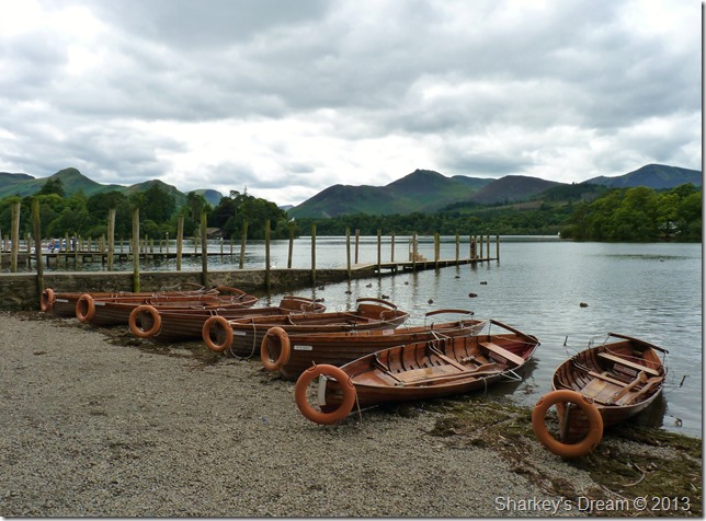
The Boat Landings just outside Keswick. |
 |
| |
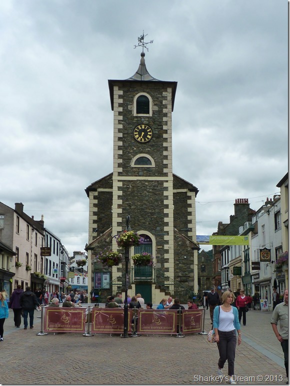
Moot Hall Keswick.
My walk is almost over as I reflect upon a great day in the district, this walk had it all from fell side to hamlet & is a great way of seeing what the other side of Lakeland is all about.
On reflection I think I may have timed my walk wrongly with the summer holidays, most of the areas I visited throughout my walk were packed with holiday makers which is great for the economy but not great if your seeking a bit of solace as I was.
I will be back when the crowds have retreated where I & my hamlets can be as one, & no elderly ladies hog my benches. |
|
| |
| Back to top |
 |
|