The inevitable Central ridge thaw out

27th January 2013

It’s been quite a while since I first witnessed the amount of snow that fell over my area of the country over the past week. In this of course I mean Wigan, which is nestled in Lancashire which only normally sees a few snow flakes usually amounting to nothing after 24 hours. For one reason or another it was the turn of the small mining town to turn white, cause travel chaos & get the dads reaching for the snow shovels while the children found slopes they never knew existed to sledge down.

I guess every cloud has a silver lining, if your under fifteen that is.


Wainwright Guidebook

The Central Fells

Bleaberry Fell terminates the central ridge to the north in much the same manner as Clough Head and Loadpot Hill terminate the parallel Helvellyn and High Street ridges in the eastern side of the district, and it is similar in formation, appearing as a lofty rounded dome overlooking the Keswick to Penrith gap.


Overview
Ascent: 2,277 Feet, 695 Metres
Wainwrights: 4, Walla Crag – Bleaberry Fell – High Seat – High Tove
Weather: Overcast With Heavy Downpours Am, Turning Drier With Patches Of Sun. Very Windy With 40/55mph Winds On Tops. Lows Of 6°C Highs Of 8°C Feels Like -4°C
Parking: Car Park, Ashness Bridge (£6.20 All Day Parking)
Area: Central
Miles: 9
Walking With: On my own
Ordnance Survey: OL4
Time Taken: 4 Hours 50 Minutes
Route: Ashness Bridge – Cat Gill – Walla Crag – Low Moss – Bleaberry Fell – High Seat – The Pewits – High Tove – Watendlath – Road to Ashness Bridge – Ashness Woods – Ashness Bridge
 

Map and Photo Gallery


A satellite image taken by the Met Office on 21st January 2013 showing the UK & indeed much of Europe under a blanket of snow.


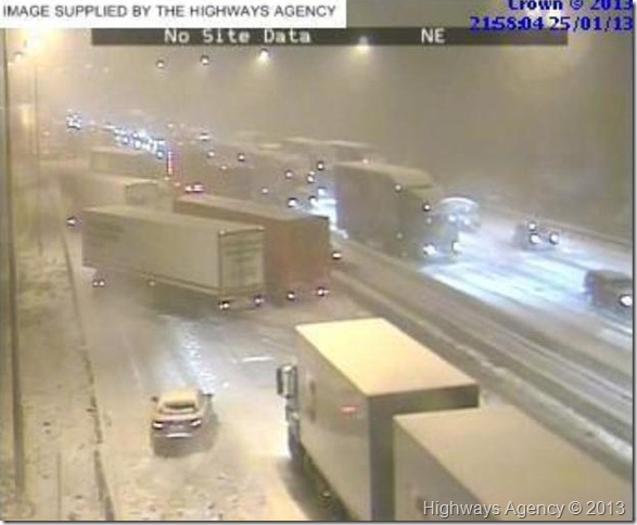
The M6 south bound Junction 26 taken at 21:58 Friday 25th January 2013

This was the image that settled my mind & indeed put the fear of god into me that I would not be travelling to Lakeland the following morning, as harrowing as the image is, no one was seriously injured that evening. Junction 26 is the junction I use not just for travelling to Lakeland but for work & indeed everyday duties, if I was looking for an excuse not to travel the following morning, this image was it.

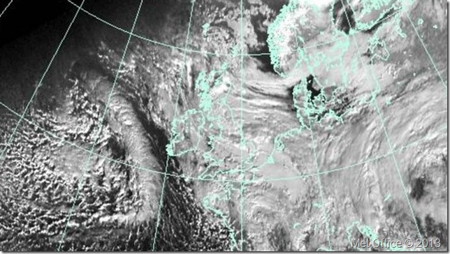
I watched the snow fall heavy that evening with my living room blinds wide open, such a beautiful spectacle beer in hand… Well I had no choice as our satellite signal was non-existent due to the snow. Despite my walk the following day being cancelled, despite that in actual fact it was my town blanketed in snow & not Lakeland, I was thankful I was safe & thankful no one had been injured in what looked to be an other wise disaster unfolding not ten minutes away from my house.

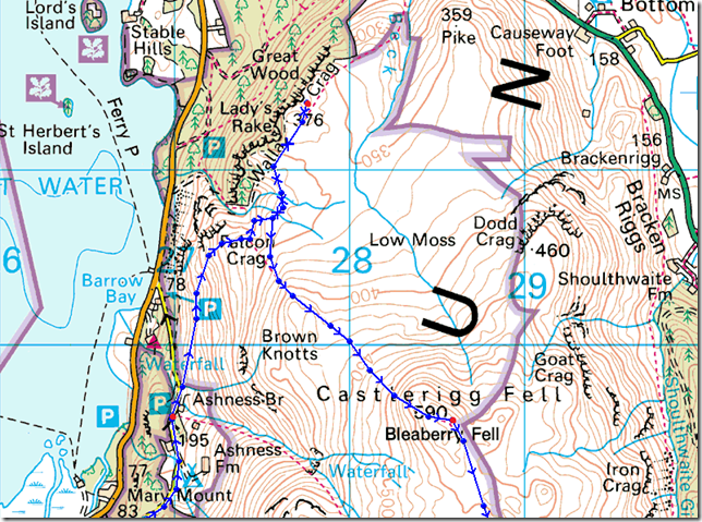
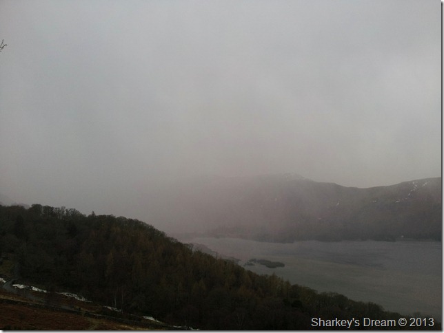
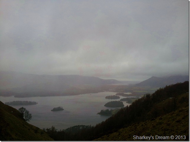
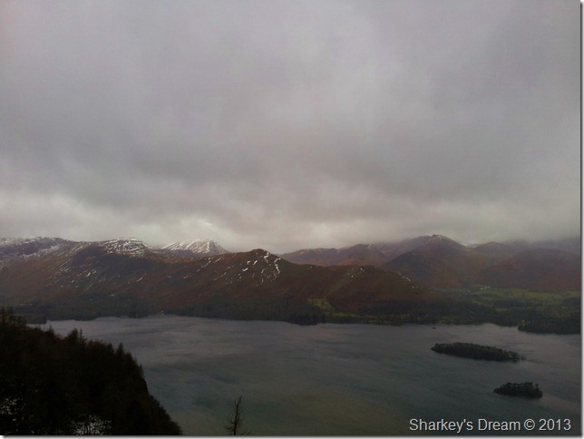
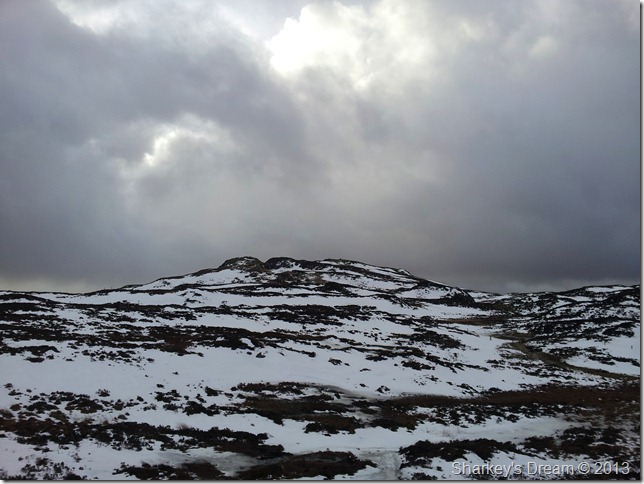
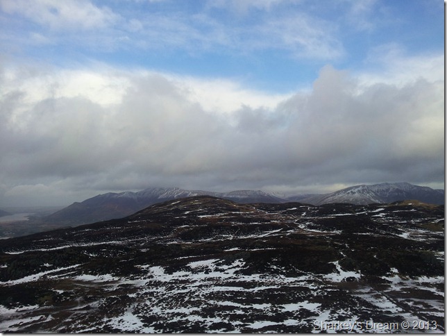
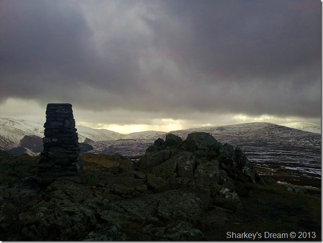
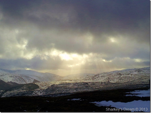
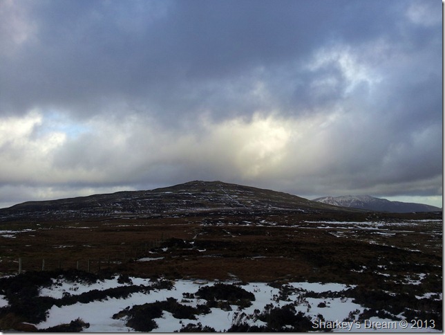
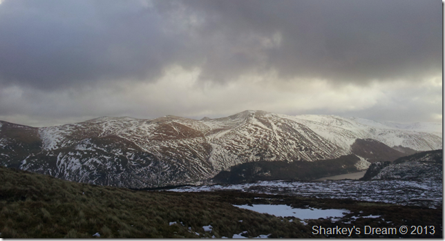
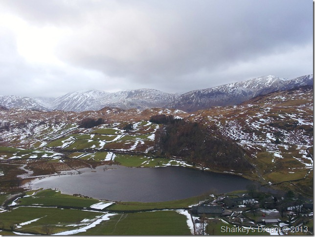
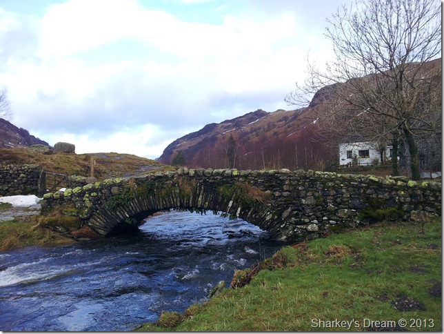
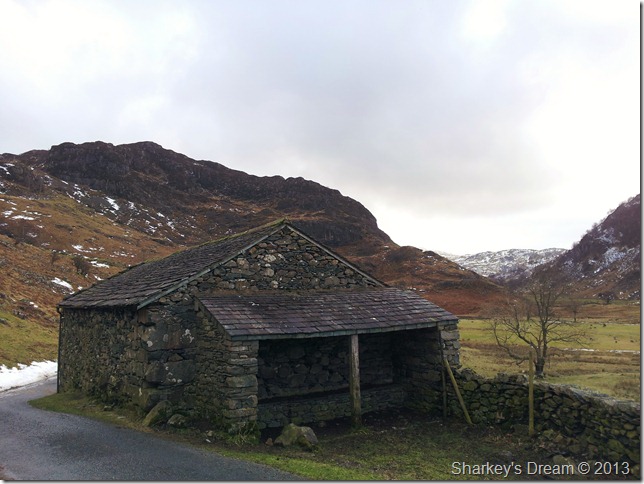
It was only last week whilst on a tour of the western fells while being battered by high winds & - 17°c temperatures did I stop & think to myself, next week Paul, you’re trying something a little less adventurous, at that precise moment I thought of the Central ridge; a meandering clover of closely grouped fells spread over miles of frozen (or so I thought) winter ground.

This was not so, yet I was not to know, not even the rain battering the bedroom window that same evening changed my perspective although it should have, I thought maybe, just maybe the ground has stuck frozen, or even semi-frozen & time has frozen still for me along that ridge.

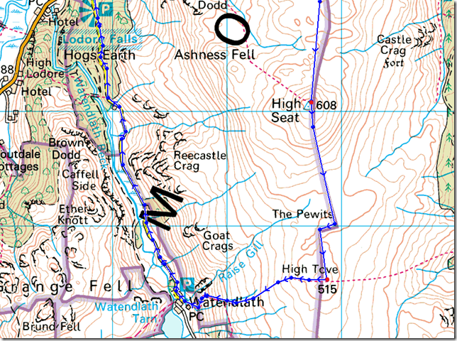
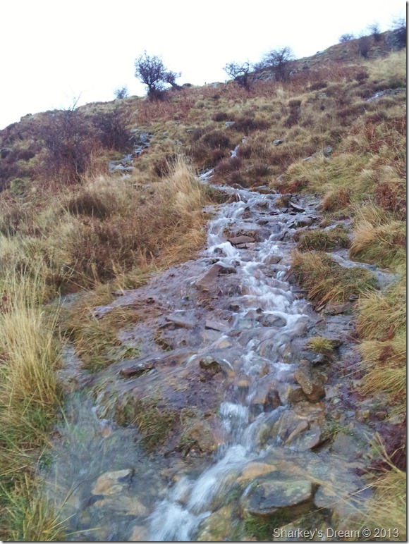
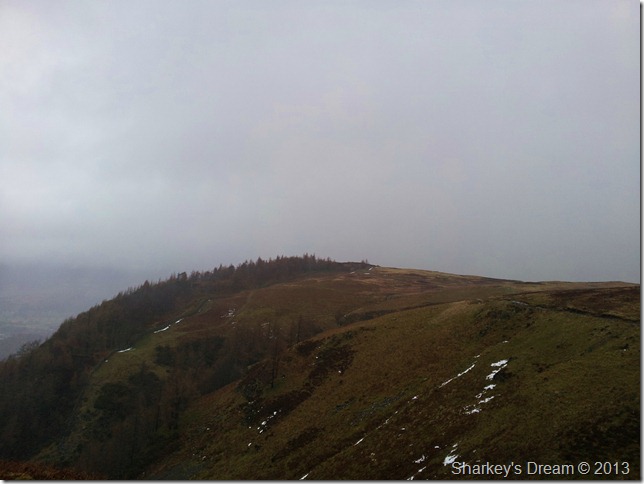
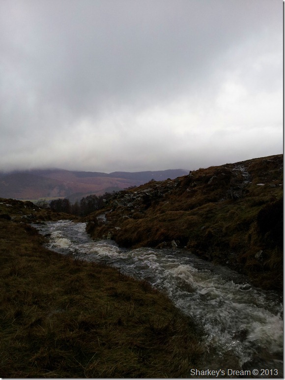
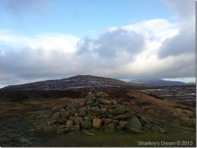
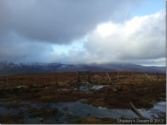
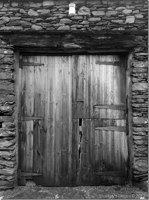
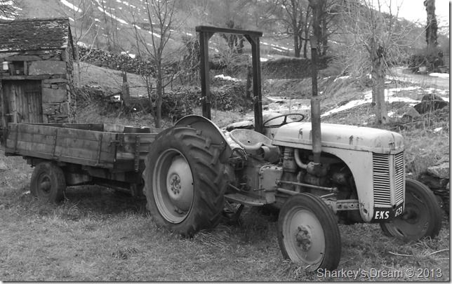
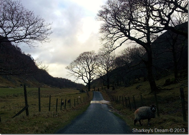
Sadly for me, this was not the case, in the hours it took me to dig my boots out of thawing snow & peat bog, the time it took me to negotiate, & walk The Pewits as a cold blast of wind slapped me across the face for a second week running did I ponder, what am I doing here? it was only after I looked back along that diagonal fence line over 4ft high bog & ice deceiving enough to think; It’ll hold me then gush!! your pulling your right boot with all your might trying your best not to let the bog claim your right foot.


Ashness Bridge 08:10 6°C

Firstly let me apologise for the poor quality of the photographs in this post as I found out to my dismay shortly after taking this photo of Ashness Bridge in full flow, that, I had left my memory card at home & not inserted into the memory slot in my camera, a massive sigh later ensued as I trundled back to the car whilst at the same time turning off everything I could on my Samsung Galaxy II if just to preserve the battery life for enough shots to get me through todays blog, thankfully it worked less the quality.

Yes your right it was a school boy error & if I survive the shooting at dawn I promise never to make the same mistake again.

That was the second shock of the morning, the next picture was the first…


All I can say is it was a good job I carry loose change in the centre console. I just about mustered enough 10’s & 20p’s & whatever else I could find to pay the new enforced parking fees…Scandalous I hear you say!! well there’s two ways of looking at it, pay the fee & get on with your walk or complain & nobody will listen.

Nice timing National Trust, don’t be surprised to see a parking machine perched in your next favourite free spot.


Derwent Water & St Herberts Island as I start the climb.

The forecast was wet & accurate (never the other way around) as I prepared to take in the gentle grassy slopes towards Walla Crag, two things were evident along this stretch of path, the first being…


That the inevitable thaw had taken hold leaving the path more resembling a fast running beck than anything else.

The next evidence I had of this was…


More rain was on its way.

At least I managed to leave the car park before the heavens opened up on me, if one good thing came out of the short climb to Walla Crag was that the rain was approaching from behind of a fashion leaving me to concentrate on the walk ahead.

It was just after this photo was taken did I give in & down pack & apply the waterproof over-trousers.


A murky Derwent Water & its Isles as I round the top of Cat Gill.


An equally murky Walla Crag from the top of Cat Gill..


Negotiating the swollen stream was fast becoming an Olympic event, this was just one of many swollen streams I had to hop, skip & jump over.


Cat Bells & a host of north western fells from a very windy Walla Crag summit.

The wind grew ever stronger as I approached the exposed summit, I remembered the forecast had predicted high winds of around 30/35mph but the wind here was much more stronger than that, here I struggle to hold a flimsy camera phone in the gust & settle for this one photo from the summit.

Again I offer my humble apologies for the picture quality.


Derwent Water with a distant Bassenthwaite Lake as I cross Low Moss.

At this point the rain had stopped but I was keeping that hood tight down, the wind had gained more momentum with the little height I had gained since leaving Walla Crag, the short walk over Low Moss was nothing more than a struggle & reminiscence of Seatallan came flooding back.


High Seat taken from the summit shelter of Bleaberry Fell.

A struggle ensued for the second week in succession, I am again at the mercy of an unforgiving wind, however what the wind lacked in its coldness was made up by its sheer strength, walking in a straight line was almost imposable & most of my concentration along this short grassy hill top was taken in by trying to keep up straight & not being bowled over.

Instead of taking shelter I push through the wind & leave the summit for High Seat.


The rocky escarpment of High Seat soon came into view.

The first part of the ridge in between Bleaberry Fell & High Seat was easily negotiable with only the odd detour over partially frozen bog or water patches, even so I still found myself a little off the path in having to do these small detours.


Looking back along the ridge towards Bleaberry Fell with a hint of blue sky over the northern fells.


High Seat summit.

This time looking south towards Dunmail Raise (L) briefly lit up in soft glow from the summit trig point of High Seat. Looking (R) in the distance we have Armboth Fell.


Angels Torches over the Central fells.


Raise, Helvellyn Lower Man & Helvellyn as I look east, spot the shy Catstycam triangular summit peaking over the ridge.


Looking back over The Pewits as I near High Tove summit.

I follow the fence as much as I possibly could over The Pewits sometimes proving futile as long de-tours were needed to gain any forward progress. The ground & the bog is in a semi-frozen state at times what looks like a section on where you may not come out alive or at best lose a boot! was quite the contrary if you gave the ground a quick prod with your walking pole first. These actions of course can still bite you on the behind as they did me as I struggled over what I thought was semi frozen bog, only for it to want to swallow my right boot.

That sinking feeling can get a bit panicky sometimes.


High Seat looking back along The Pewits from High Tove summit cairn.


Time to head down to Watendlath as I pass through the wooden gate, incidentally this is the same fence I followed all the way from the summit of Bleaberry Fell.

During the mornings proceedings Tim my walking buddy sent me this text containing these three words What-End-Lath

For as long as I can remember I just cannot pronounce Watendlath in conversation, I would always start with wha-what- whatend & so on… Tim sent me the text so as not to offend the locals & it worked: What-End-Lath.

Taking the path down towards Watendlath was also in thaw & again rather than slip my way along I detoured the thawing out bits, the views of the fells in their snow crowned glory was like a new game to me & as I picked off their peaks one by one.


Watendlath Tarn & What-End-Lath Farm from my descent.

I was making great time as I made my way down to the beautiful hamlet of Watendlath, after a quick look at my watch I realised It was shortly before lunch time, so I decided to get myself down & enjoy an early lunch besides Watendlath Beck.


But first a photo of the beautiful stone pack horse bridge over a swollen Watendlath Beck.


Enjoying an early lunch at Watendlath Farm, in comfort too.

After lunch I decided to have a quick wander around before I set off for Ashness Woods & the rather long walk back.


This rowing boat has seen better days but made for some great nostalgic photo taking.


So did the old wooden barn doors.


And lets not forget EKS 623


The Watendlath road back to Ashness Bridge.

The light in this photo doesn’t depict the time of day as was just past midday, sadly this was no other fault than my camera phone.

Despite this, the walk back to Ashness Woods was taken at a rather slow leisurely pace.


Passing this stone barn along the way with Reecastle Crag in the background.


And the boulder they built a road around in Ashness Wood.


The Road Summit marker found on the right of the road a little after the boulder, something I have never seen before.


Blue skies over a wind swept Derwent Water from Surprise View.

As I approached Surprise View I witnessed tripod among tripod, with lenses as far as the eye could see, can you possibly imagine the hilarity of this walker stealing the limelight for a few short seconds as he reaches out amongst those tripods & whip out my camera phone.

Oh the shame of it…

No sooner had I hid myself from shame did I find myself back at the car park that was bristling with walkers and tourists alike, I de-pack & people watch as I sip hot coffee whilst sat on the boot panel of the car…Days are good & the legs felt as if they had miles left in them.

Before I truly say goodbye for another day I walk down to the bottom of Ashness Road & take a few final photos.


The Skiddaw Fells taken from the bottom of Ashness Road.


Derwent Water from the Ashness Road Jetty.

Worth every penny


Back to top