A Riggindale Round

3rd January 2013

There are times in life when one just wants to grieve to be with ones own thoughts & let down your defences, this at times can be easier said than done.

As difficult & emotional past events have affected me I needed me time, this could only be done in Lakeland & the one thing keeping me from doing this as frustrating as it sounds, was the weather. There’s drowning your sorrows kicking leaves around a country park, but not amid the weather warnings that spread throughout Lakeland this past week.

I just didn’t have the confidence nor the fight to do this.

So eventually came a weather window tightly packed in between morning & midday, the winds have dropped & for one small space in time…it seemed the heavens had had enough of unleashing downpour after downpour on our beloved Lakeland.

There was a gap & I took it.


Wainwright Guidebook

The Far EasternFells

-High Street:

A striking range in grandeur and wilderness

The range forms across the eastern spirit of Lakeland, providing a splendid full days march at a consistently high altitude, but is, distant to the areas most favoured by the fell walker and is comparatively unfrequented, appealing mainly to the lovers of mountain solitude.


Overview
Ascent: 2,139 Feet, 663 Metres
Wainwrights: 5, Mardale lll Bell – High Street – Kidsty Pike – Rampsgill Head – High Raise
Weather: Cloudy – Dry & Mild am With Rain Towards The Latter Of The Walk, Highs Of 11°C Lows Of 9°C Gust Of 35mph On Tops
Parking: Mardale Head
Area: Far Eastern
Miles: 8
Walking With: On my own
Ordnance Survey: OL5
Time Taken: 5 Hours 30 Minutes
Route: Mardale Head – Small Water Beck – Small Water – Nan Bield Pass – Mardale lll Bell – High Street – Straights of Riggindale – Kidsty Pike – Rampsgill Head – High Raise – Low Raise – Birks Crag – Lady’s Seat – Band End – Bowderthwaite Bridge – The Rigg – Mardale Head
 

Map and Photo Gallery


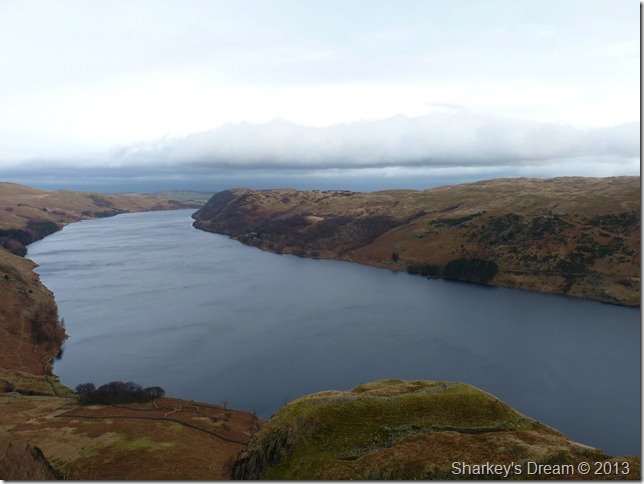
Mardale Head 8:22am 11°C

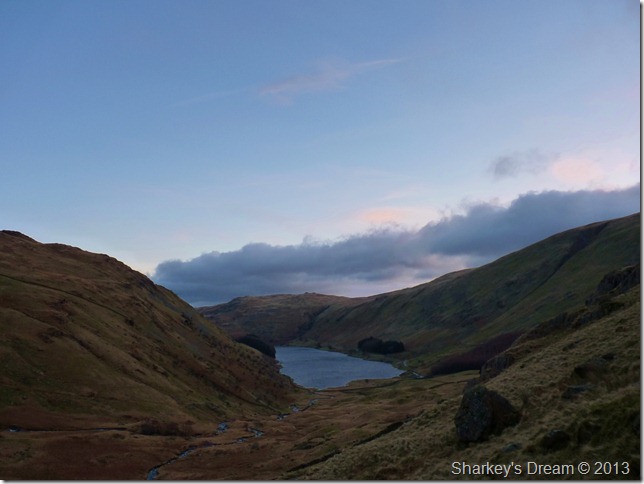
I arrive in Mardale under the cover of darkness as the High Street fells prepare for a brand new day, where else I am going to turn to in my time of need?

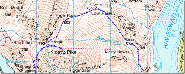
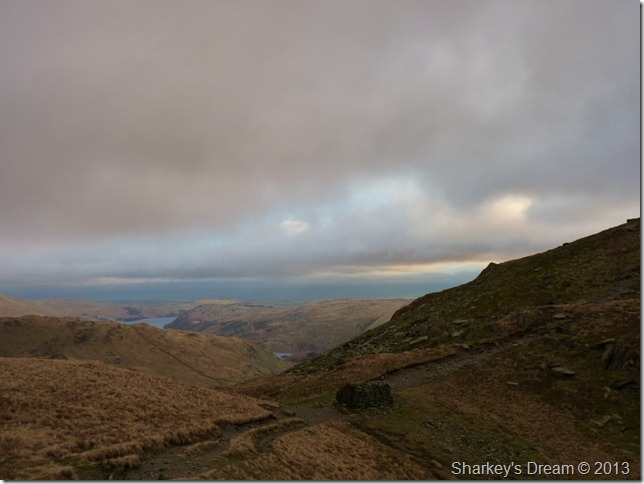
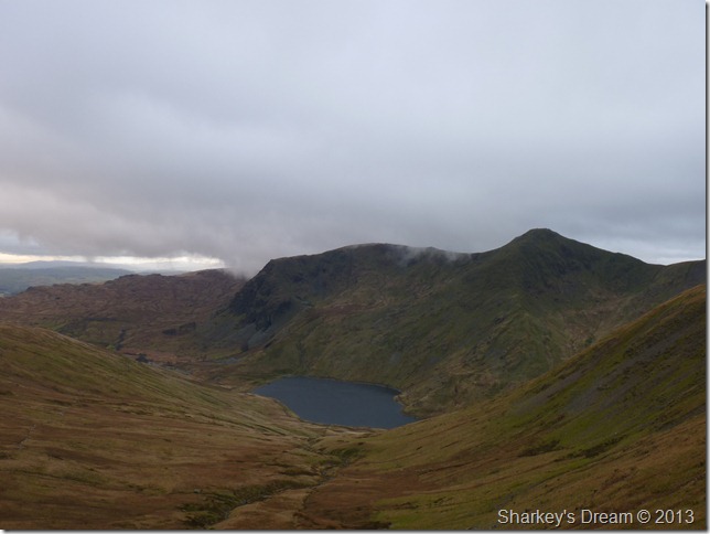
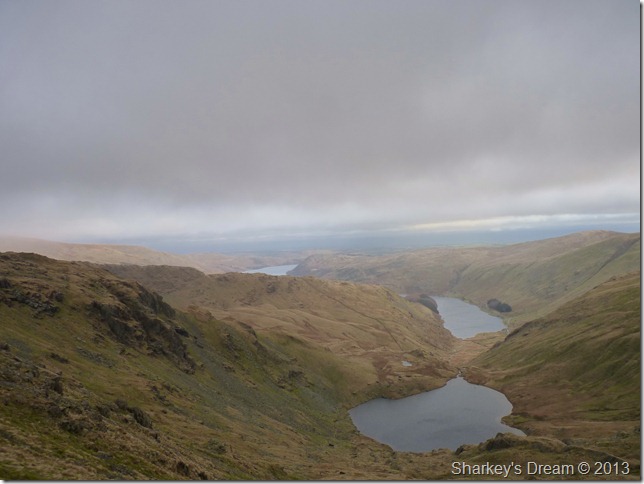
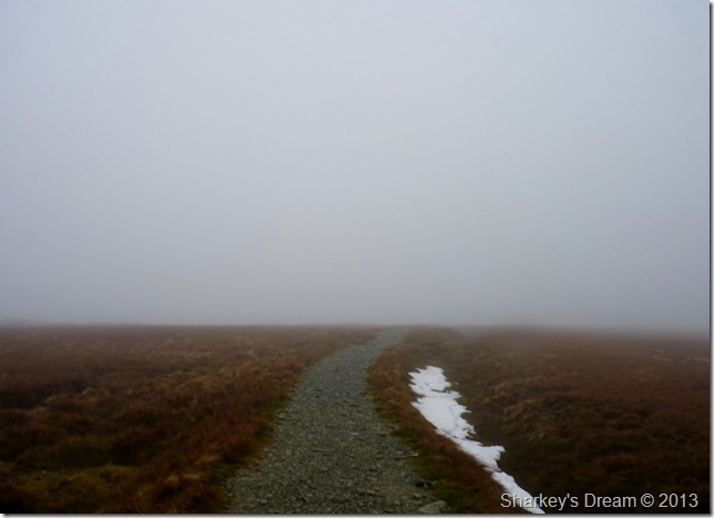
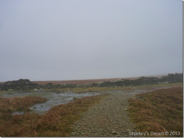
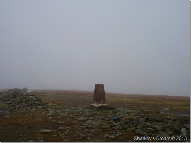
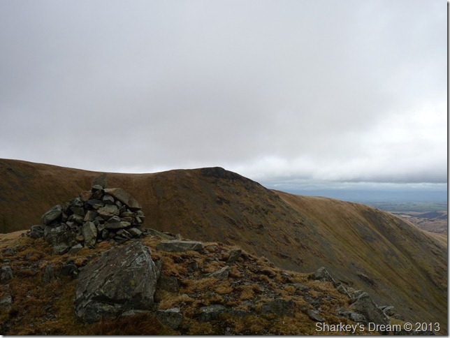
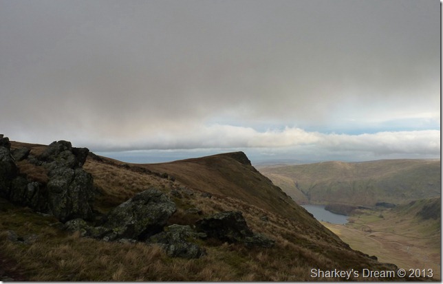
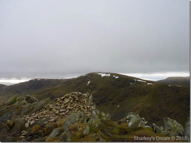
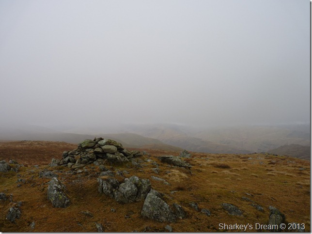
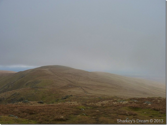
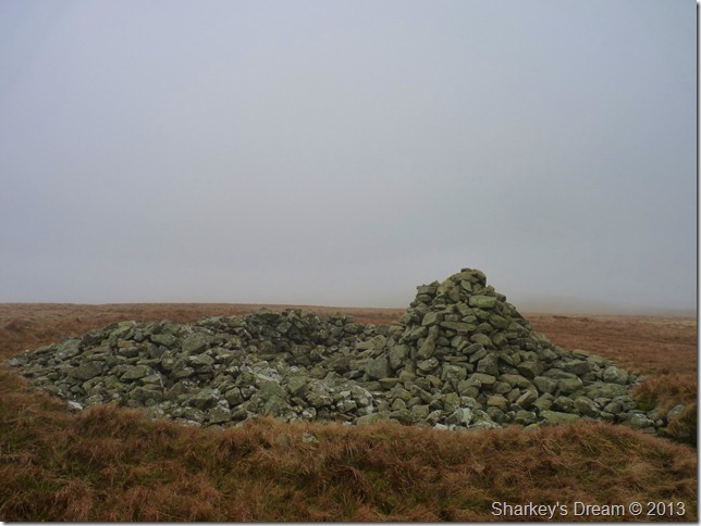
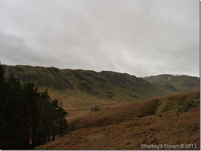
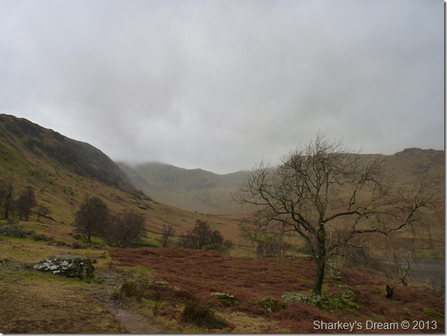
Today’s route didn’t get the time nor care it deserves, its a trudge over wet ground & high spaces, its a journey along my favourite of favourites, my sticking plaster & therefore healer of them all, High Street.

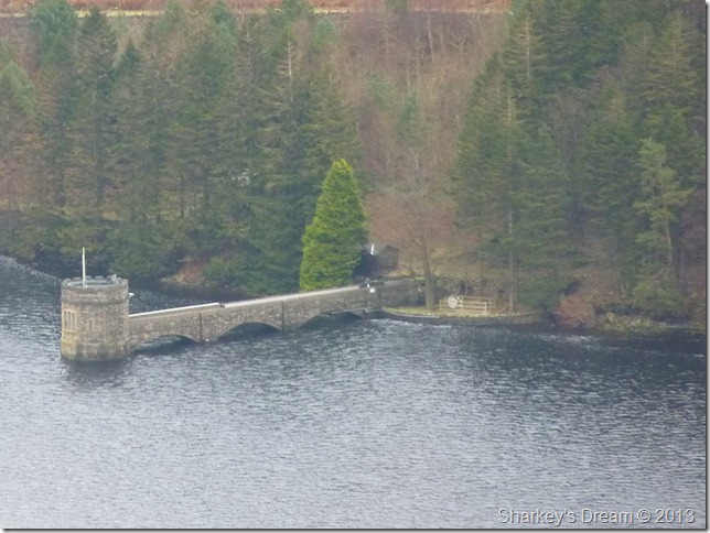
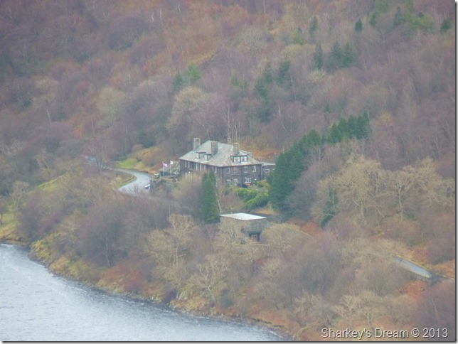
The car park is positively empty & has that abandoned feel to it, down on the tarmac however, new white parking space lines have been painted leaving Mardale Head resembling a small super-market car park, posh yet not needed.

Good god, I wonder what the old Mardale folk would have thought?

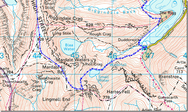
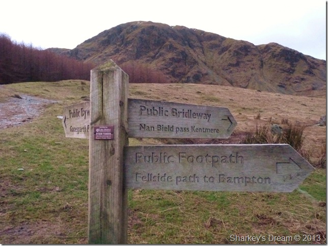
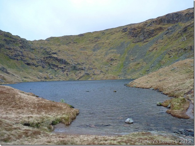
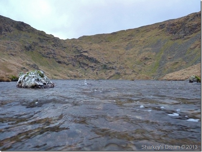
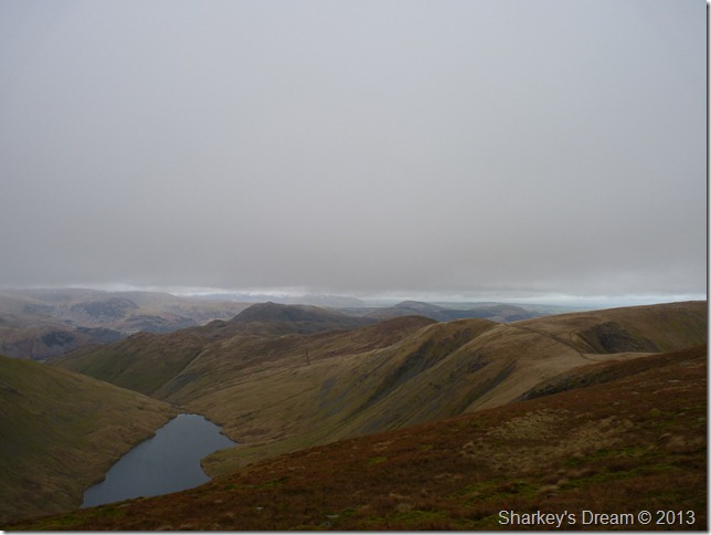
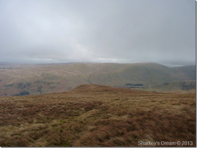
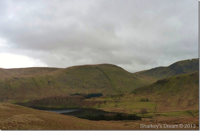
The cloud is high (for now) & a glimpse of colour can be traced from trying sky as I pass through the wooden gate at a crossroads for the Gatescarth & Nan Bield passes, today however, I shall be making my way over to Small Water & the top of the Nan Bield pass.


Looking back at Haweswater most northern tip with Hare Shaw (C) from my narrow path.

Despite the torrential rain Lakeland has experienced the path is in good order with not much negotiating to be had, this does not stop me billowing & blowing as my time away from the fells starts to show so early into the walk.

I control my breathing & take overlong sips from my bite valve, the air is mild, very mild for January as I take off my hat & place in between my strap & shoulder – should I need it the more height I am about to gain.


Small Water

I soon reach Small Water with significant wind buffeting that in actual fact feels good on raw skin. Momentarily I have to search for the narrow pass that navigates the corrie beading my eyes in that squint thing you tend to do. Surprisingly this is my first visit to Small Water & yes I am suitably ashamed in saying so…

Nan Bield pass is soon located as I cross Small Water beck via a group of carefully placed stepping stones.


The Small Water stone shelters.

Thought to be a product of the early settlers of Mardale showing how significant Nan Bield pass was back in those early days.

The stone shelters are of good size easily accompanying three to four adults, what you can’t see are that the shelters were constructed into the hill side giving them both the bonus of strength with length


Almost at the top of Nan Bield pass when Haweswater becomes visible.

Footnote: There is a photographers illusion when positioned correctly Small Water looks to flow directly into Haweswater without the mile distance in between.

I’ll get me coat shall I…


Nan Bield Pass.

After reaching the top of Nan Bield pass do I hook a right with Mardale lll Bell (pronounced Hill Bell) in mind, taking a left at the top the pass would take you onto Harter Fell (Mardale)


Yoke & lll Bell with the Kentmere valley & Kentmere Reservoir down below.


Pilot Crag (L) & The High Street ridge (far left) as I make the small ascent on Mardale lll Bell.


Mardale lll Bell summit cairn.

Is it me or has there been some recent path reconstruction in between Nan Bield pass & Mardale lll Bell?

I’m about to lose the…


Views…

As I make my way towards High Street visibility drops somewhat giving me time to reflect upon recent events, I knew it was going to happen I just didn’t know when. I talk to mum, I cry & I share some ‘do you remember’s.

A very emotional & reflective part of the past week happened across this path. Thank you Lakeland


Still deep in conversation as I reach the main summit path, I head right – taking a left here would lead you Thornthwaite Crag bound.


Snowdrift holds tight even during the recent milder conditions.


Through the mist the trig points appears.


High Street summit trig point.

I take the summit path to the left as I now make my way to the Straights of Riggindale.


Hayeswater & a host of far eastern fells seen from my descent to the Straights of Riggindale.


The Straights of Riggindale, Kidsty Pike & a glimpse of High Raise centre right.

It is at this point do I remember an article I read online in the The Westmoorland Gazette  where a much loved family Jack Russell had gone missing whilst on High Street, ‘Joey’ had lost its owners whilst playing with another dog on Dec 31st & has not been seen since.

I spared a thought for the owners of Joey as I am particular fond of Jack Russell’s owning them throughout my childhood & early adult years.

I press on across the Straights & make the small ascent to Kidsty Pike.


A close up of The Straights of Riggindale with The Knott in the distance.


Kidsty Pike from Short Stile.


Kidsty Pike as I round Two Penny Crag.

The triangular summit effect only comes into view from Riggindale as with a few other ‘Pikes’ in the district.

The summits distinct features can be seen from the M6 motorway around Jct 39 on a clear day.


High Street, High Stile & Short Stile (C-R) from Kidsty Pike summit.

By now the wind had dropped enough for me to lose the gloves, zip down both my jacket & my mid layer & allow a nip of cold air on my over-heating chest, no wind in mild conditions can only mean one thing…

Rain.

Onwards towards Rampsgill Head now.


Rampsgill Head summit cairn.

Found just a small distance away due north west.


High Raise & Low Raise (far right) as I leave Rampsgill Head.

By now low cloud was developing & bearing down on me again, but with it this time, rain.

I feel sporadic drops wisp through a breathless air & know I must shake my tail if I am to reach High Raise before the rain reaches me.


Through a break in the clouds Rest Dodd & The Nab appear, they soon disappear as quickly.


High Raise summit & shelter.

Despite my earlier flagging I have made great time reaching High Raise at around 11.30 Its time to eat as I take shelter from that impending rain.

It’s not very often I would spend time at a summit shelter but it was a pleasure to eat my lunch & watch the low cloud envelop the grassy summit plateau’s, one minute I had a fix on my next bearing of Low Raise & the next it was gone, I’ll get back to on that in a moment.

For now, its mixed cheese on soft white.


The short yet enjoyable walk to Low Raise from High Raise.

I left the shelter of High Raise in what I thought to be the right direction without locating the path you see in the picture, for around ten minutes I walk the grassy tussocks knowing I must come across this path sometime soon as from the shelter it stuck out like a motorway in rush-hour, before I keep on heading the wrong way I down pack & take out my G.P.S

Despite my G.P.S being much like a walking buddy than a instrument I fail to find the patience for it to locate its satellites, I back track some little & start again this time finding the path wishfully thing how the norah did I miss it on the first place.

This Paul, is what’s called ‘being bit on the arse’ you owd impatient good for nothing thinking you know best sod. 


The ancient summit cairn & shelter at Low Raise summit.

I am somewhat impressed.


Low Raise south east ridge.

My descent today was to be via Low Raise south east ridge which is predominantly pathless as it was only used in mass by the early dwellers of Lakeland.

Today this path is still seldom used in great numbers especially the high point along this short ridge section.

The ridge is a succession of false grassy summits which can be descended easily through thought & the lay of the ridge throughout the descent.


Haweswater & Castle Crag (Mardale) Hill Fort (R) from Birks Crag.

Iron age in times Castle Crag hill fort offered an outstanding ‘striking’ position against invasion.


A close up of the Haweswater Draw Off Tower built from the same stone once used in Mardale Church & indeed the farming village of Mardale which was dismantled in way for the new Dam project back in 1929


Another close up this time of The Haweswater Hotel.


Branstree, Mardale Head & The Rigg seen from my descent.

There’s most definitely something in the air…

That would be the rain…


The High Street ridge as I prepare for a small walk through woodland – if not only to get out of the ensuing drizzle.


Riggindale

As a vertical downpour ensues I thank Lakeland for giving me the time & much needed space to take control of my thoughts, there are times when one wouldn’t turn out in conditions such as I had today yet on a personal level the cloud & rain did so much for me, it brought me down to its level with a mask of understanding that only these fells can do.


Back to top