|
One year on… |
 |
 |
27th October 2012 |
 |
|
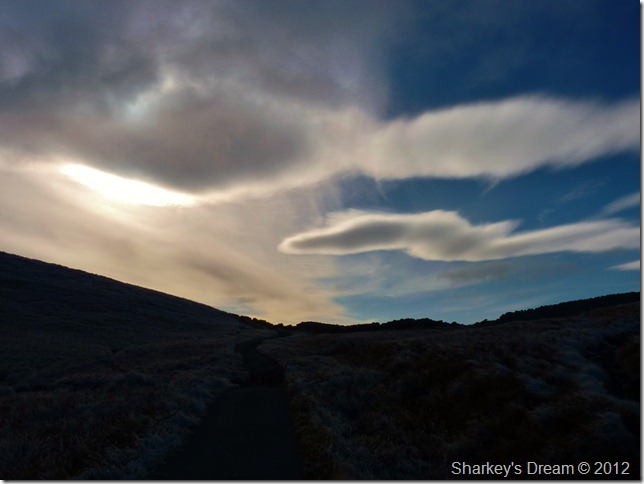
One year ago myself & two good friends of mine were perched upon a rain-windswept Angletarn Pikes summit, most probably wishing we was somewhere else as a gale so fierce rattled our already soaked bones, I was coiling around on my knees whispering ‘I’m here, I’ve finally done it, thank you Angletarn’ – as my comrades with backs against the wind, took photographs with their drowned out lenses, looking upon the end of a dream & at my new beginning. That day was 29th October 2011, the day I completed all 214 Wainwrights.
A lot has happened in that one year since that rain swept day, I have grown in confidence with my surroundings & conquered routes & summits that only five years ago I could only dream of. I figure I have barely touched possibly less than 10% of what Lakeland has to offer, this only came at a high price as AW would put it ‘wondering around aimlessly’ both physically & emotionally, it was only during the early spring of 2012 did I find my Lakeland feet again after trying numerous outliers & indeed a brush with the Howgills, both of which are beautiful places in there own right, & that’s just it, in there own right, & my right, just like my heart is routed deep within the remaining 90% ground un-covered.
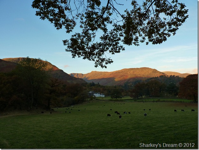
So, I’m back where I belong, within my favourite group of fells that lie east of the district, at a beautiful Tarn they named Angle Tarn, after the summit it lies beneath, a Tarn so dear to me every time I find myself here, I feel like I have found home.
To celebrate One Year On I fettled with the route slightly? ok a lot… I added around eight glorious eastern miles to it & another goal, she is called High Street & has the privilege of being my favourite Lakeland summit, its quite difficult to explain why, so should you find yourself on Kidsty Pike looking in a south direction, only this may come close as to why I favour High Street amongst the splendid best.
My route latters on Pasture Beck, a place I have yet to trod & have wanted to include the secluded valley in one walk or another, so why not this walk I thought.
It was Monday 22nd October this walk got the go ahead, the following week ran painfully slow, I simply could not wait to return east upon Angletarn & High Street.
Apologies in advance!
Due to my flu & despite the conditions for this walk nearing perfect in every way shape & form, it was also the walk that finished the author off! Due to the fact that I am now sat behind a mountain of my own; made up of Kleenex man size tissues & not to mention menthol sweet wrappers, this may of had a slight effect on how my blog was presented forehand. For that, to the readers of Sharkey’s Dream I offer my sincere apologies. |
|
| Wainwright Guidebook |
 |
| The Far Eastern Fells |
- Angletarn Pikes:
The distinctive double summit of Angle Tarn Pikes is a familiar feature high above the Patterdale valley; the two sharp peaks arrest attention from a distance and are no less imposing as a close acquaintance, being attainable only by rock-scrambling, easy or difficult according to choice of route.
The crowning glory of the Pikes, however, is the tarn from which they are named, cradled in a hollow just below the summit. It’s indented shore and islets are features unusual in mountain tarns, and it has for long, and deservedly been a special attraction for visitors to Patterdale. The charms of Angle Tarn, at all seasons of the year, are manifold: in scenic values it ranks amounts the best of Lakeland tarns. |
 |
|
|
| |
|
Overview |
|
|
| Ascent: |
3,713 Feet, 1,132 Metres |
| Wainwrights: |
5, Place Fell – Angletarn Pikes – The Knott – High Street – Thornthwaite Crag |
| Weather: |
Bright am With Cloudy Spells pm, Cold On Tops With Notable Wind Chill, Highs Of 6°C Lows Of 1°C Feels Like -1C° |
| Parking: |
Car Park, Hartsop Village (Donation Box) |
| Area: |
Far Eastern |
| Miles: |
12.8 |
| Walking With: |
On my own |
| Ordnance Survey: |
OL5 |
| Time Taken: |
7 hrs |
| Route: |
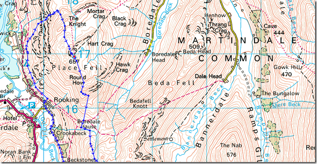
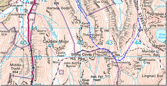
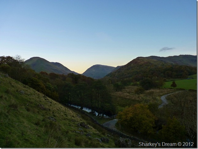
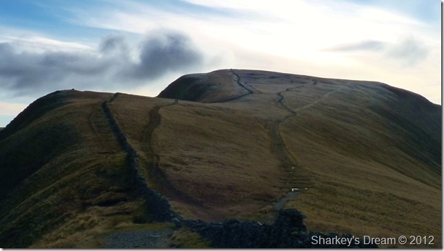
Hartsop – Dubhow – Beckstones – Crookabeck – Rooking – Side Farm – Place Fell – Round How – Steel Edge – Boredale Hause – Angletarn Pikes – Angle Tarn – Satura Crag – The Knott – Straights Of Riggindale – High Street – Thornthwaite Crag – Thresthwaite Mouth – Pasture Bottom – Pasture Beck - Hartsop |
|
| |
|
Map and Photo Gallery |
|
|
 |
| |
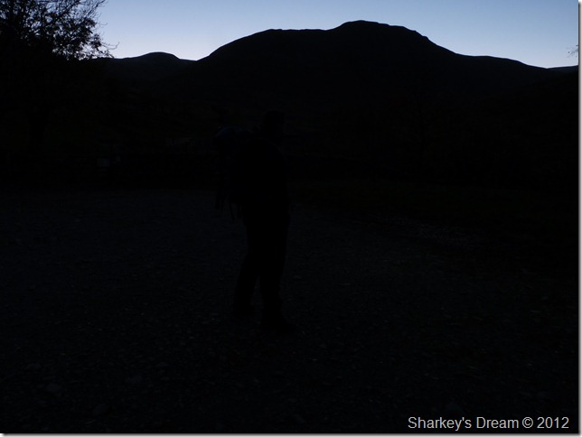
Dawn – Hartsop CP 7:20am 1°C
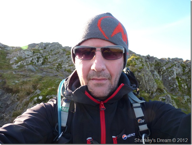
The sun eases its way east struggling to breach east Lakeland as I kit up at the tranquil hamlet that is Hartsop. Lights light up small out-buildings & cottages as the morning dew escapes my already clogged up mucus like lungs, yes you’ve guessed it… its that time of year when half the nation falls victim to flu, or if your of the male gender, deadly man flu, I am carrying the latter! (sure feels like it anyway) This week alone I have ravished three times the daily amount of Vitamin C just to keep me going, just so I wont miss my 214th one year anniversary, I am here under duration & I’m not going to let the lack of breath & the wheezing stop me.
Stop the heroics Paul, you were a yard off pace, maybe even more…
With my kit secure I lock the car down & head back into Hartsop. |
 |
| |
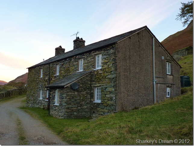
Passing behind the sleeping cottages to pick up my path. |
 |
| |
Looking back over Hartsop on Gray Crag.
I slip the first of many menthol sweets into my mouth as I take in the two miles of quiet lanes & Rooking bound, before I reach the lower slopes of Place fell this morning I have to pass through two more farming hamlets of Beckstones & Crookabeck, but they are sometime away off yet so I best get a move on. |
 |
| |
Above Bridgend.
It is here the path splits into two, my path is ahead & Beckstones bound, taking the path to the right would lead you onto Boredale Hause. |
 |
| |
Bridgend.
Sunlight creeps ever more west as I take in the quiet lane towards Beckstones which lies ahead on the distant treeline, I couldn’t think of a better way to start a walk than this two mile trek under subdued morning light. |
 |
| |
A kirkstone skyline. |
 |
| |
Hart Crag & Dove Crag receiving the first of the morning light. |
 |
| |
Passing through Beckstones, a lonely outpost if there ever was one. |
 |
| |
Crookabeck stands not far away.
Crookabeck Farm lies just through the trees, a large farm in stature with no permissive footpath, instead take the narrow footpath situated at the end of a wall sign posted Patterdale. It was here I met my first person of the day, an elderly female resident of Crookabeck with a long bearded terrier in tow, we pass on Good morning before my path almost comes to an end at Rooking. |
 |
| |
Patterdale, Birks, Birkhouse Moor & Helvellyn from Crookabeck. |
 |
| |
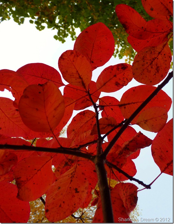
Autumn leaf. |
 |
| |
Grisedale under morning shade. |
 |
| |
Above the southern most tip of Ullswater with views opening up over Glencoyne, Hart Side, Sheffiled Pike & Glenridding Dodd. Birkhouse Moor can be seen left & far left we have Arnison Crag. |
 |
| |
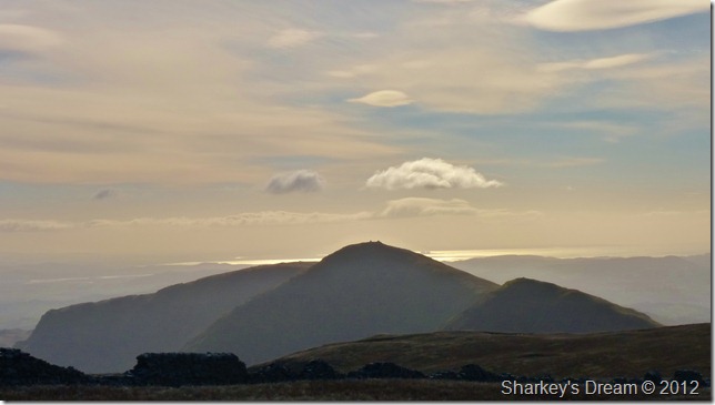
The eastern fells from my ascent on Place Fell.
To be honest I was quite looking forward to this ascent & getting myself out of the shade – given the fantastic views, it wasn’t quite how I’d remembered as my body laboured its way up the steep approach path, It was here I placed yet another menthol sweet & rolled it about in my mouth, this, clearing my air ways did the trick despite being a yard(s) off pace.
Determined I press on (determination & inspiration came in large quantities given the importance of the date, along with this truly wonderful backdrop) |
 |
| |
A close up (LtoR) of the huge mass that forms Birkhouse Moor, Striding Edge, Helvellyn, Swirral Edge & Catstycam. |
 |
| |
In the shadow of Place Fell.
As I reached the top of the col, in the morning shadow a group of young deer had trained their eyes on me, slowly, as I went for my camera & held it in place did they bolt, it wasn’t the last I was to see the deer & sadly they again waited until I had them in focus until they bolted once more. |
 |
| |
Light breaches Place Fell summit trig point.
I was met by a brilliant morning sunrise on my final approach to the summit, so much so I had to down pack & reach for the Bloc Billy’s as the suns glare was causing my eyes to stream.
With my pack off it was time to don the hat, temperatures had plummeted somewhat albeit bright above it was cold, very cold indeed. |
 |
| |
Polarised. |
 |
| |
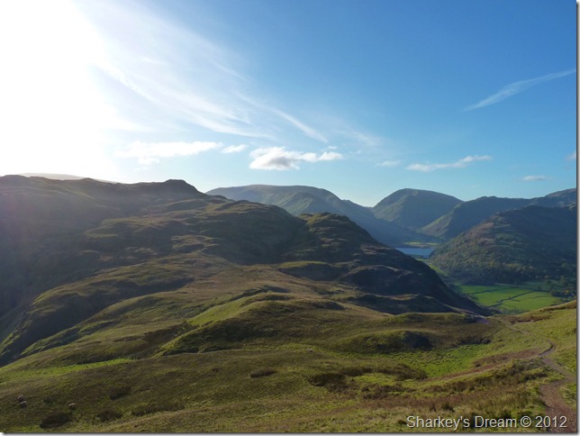
Bearing down on Boredale Hause.
Angletarn Pikes can be seen centre left my next destination, anticipation was building as too was my champagne cork buried within the summit, but for now I’ll have to wait & see. The trip across Boredale Hause as always is a pleasurable experience with great memories of the first time I ventured up a lakeland Fell.
The only blight I had here was the sun & the havoc it was playing with the camera’s lens, hence the strong light in the top left of the picture, this being the only one of many that actually turned out. |
 |
| |
Arnison Crag, Birks & Saint Sunday Crag across Boredale Hause. |
 |
| |
Looking back across Boredale Hause & Place Fell.
It was nice to be out of the shade, but I think I spoke to soon… |
 |
| |
As the cloud cover increased rather dramatically as I approached Angletarn Pikes. |
 |
| |
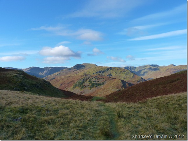
Brothers Water, Deepdale & the Scandale Fells from the path. |
 |
| |
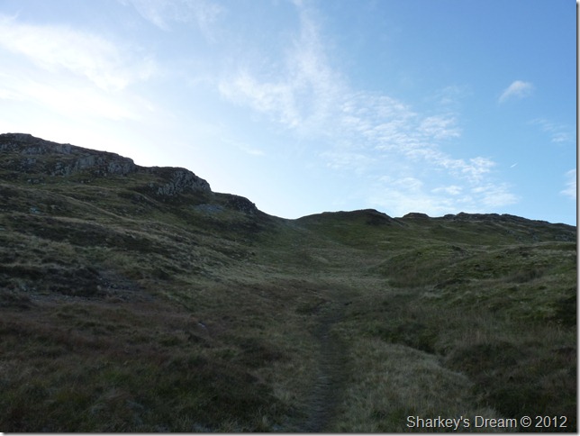
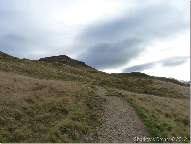
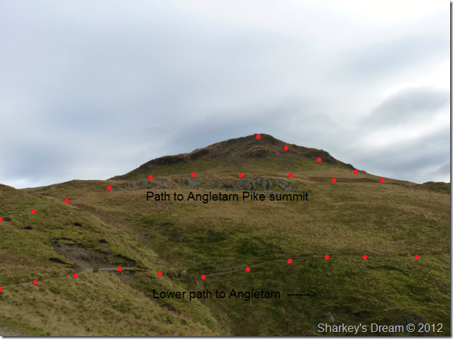
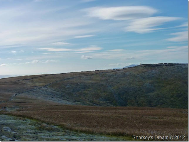
Crossing the top of Dunhow Brow as two paths are presented before you, take the left (upper) path to the summit or as I did for many, many years take the lower path to Angle Tarn. |
 |
| |
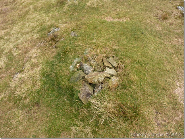
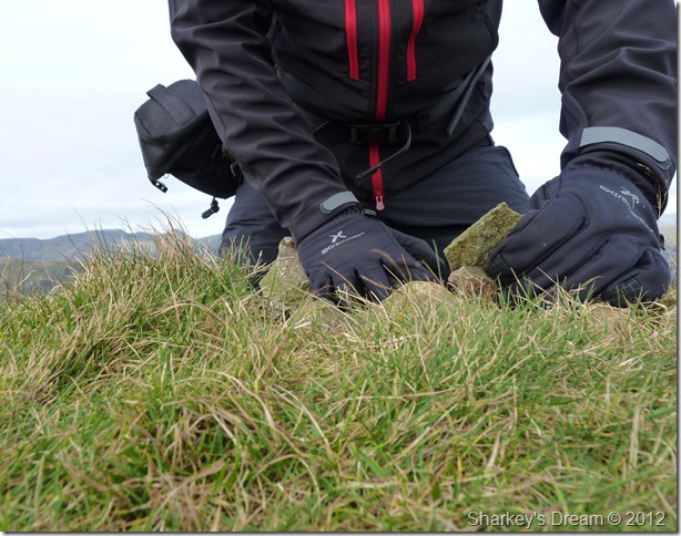
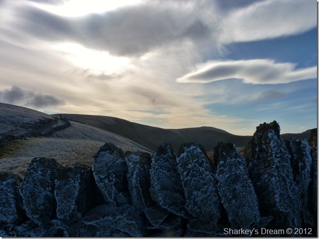
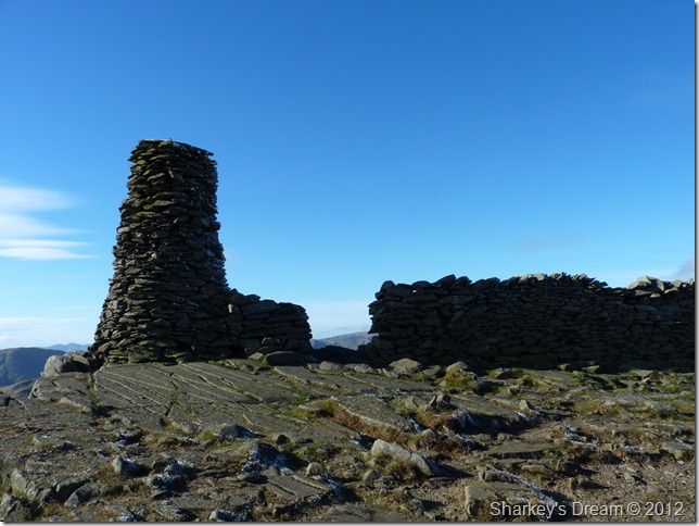
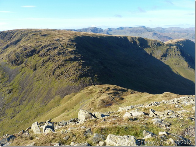
An overview of the now crumbling cairn marking Angletarn Pikes summit.
I kneel down as I did twelve months ago & search for the champagne cork that I personalised with 214 – Paul Sharkey 29-10-11 |
 |
| |
And find nothing…
A little demoralised I rumble through the cairn carefully up turning each & every stone before lovingly replacing them stone by stone.
In my heart of hearts that cork being there would of made this trip that bit more significant, in my head however; I knew a cork wouldn’t of survived a winter in Lakeland so yes a little deflated.
Lets press on, its such a wonderful day,. |
 |
| |
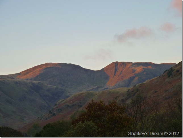
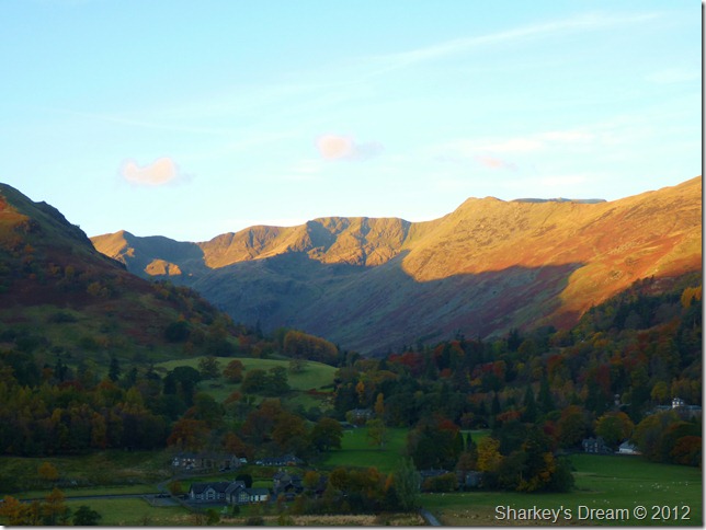
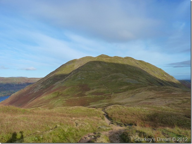
High Street.
This photo however cold it may look was the reason for my second wind, High Street has my name all over it. |
 |
| |
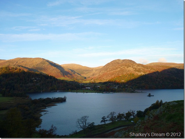
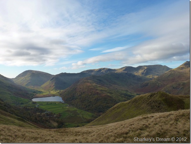
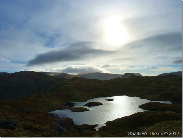
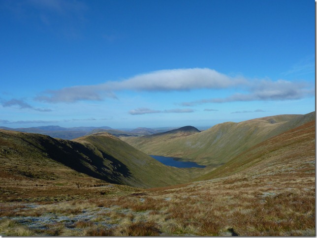
Majestic Angletarn. |
 |
| |
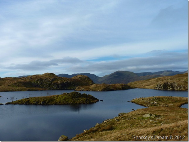
Fairfield Link Hause across Angle Tarn. |
 |
| |
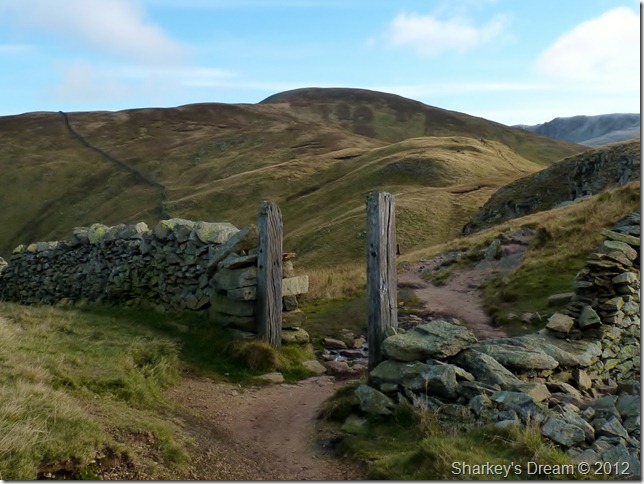
Rest Dodd from the infamous gatepost at Satura Crag. |
 |
| |
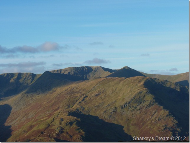
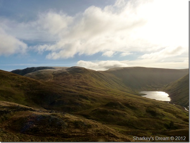
The knott, High Street & Hayeswater from Satura Crag.
What appears to be a light dusting of snow along the higher summits turned out to be hard frost yet just as cold! |
 |
| |
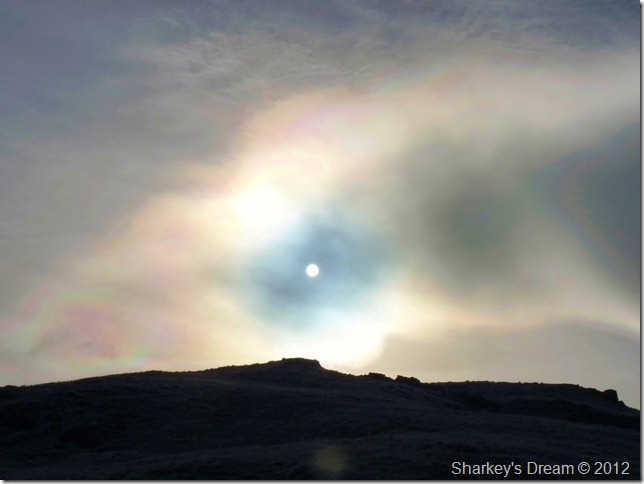
Rest Dodd & The Nab as I start the gruelling ascent on The Knott.
The Knott, above all fells in todays itinerary was the one fell I would flag on, & today was no exception – except that I had been telling myself all morning to gear up for the ascent, before I knew it I was clambering for its last reaches with a very dramatic twist as I neared its summit. |
 |
| |
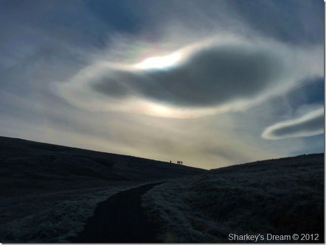
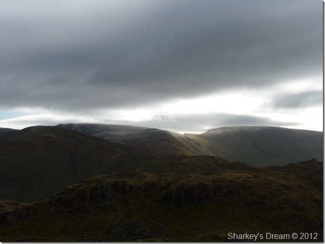
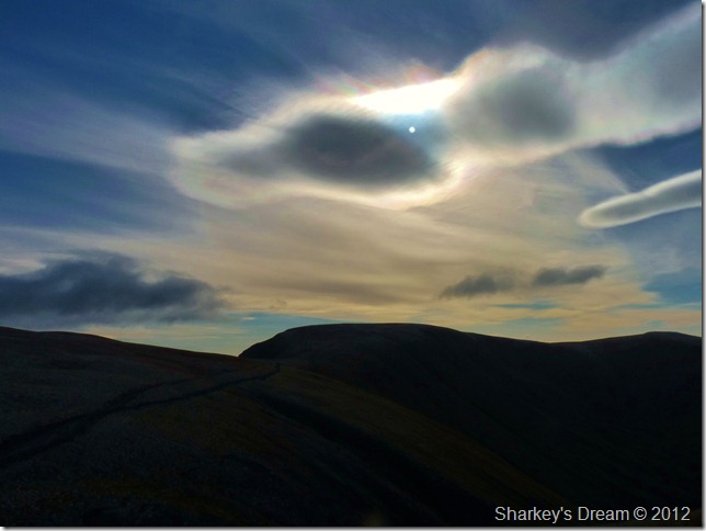
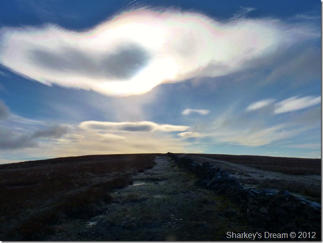
One of which was this cloud Corona over, not just The Knott summit – but the whole of eastern Lakeland. |
 |
| |
I guess waiting for the sun to reappear does have its advantages…
It was time now to take the small excursion towards The Knott’s summit, taking a right at the stone wall will have you there in less than a moment, that is unless you have a camera in hand & dramatic skies over your head… |
 |
| |
High Street & Thorthwaite Crag from my ascent on The Knott. |
 |
| |
Frosty & possibly the coldest I had felt during the whole walk, but worth it. The Knott summit.
I had promised myself a short stay at the summit if not only to replenish spent energy with the bag of Maltesers I had been carrying all day. Stopping me from de-shouldering pack was the family of walkers cramped in behind the stone cairn, taking shelter from that biting wind – I sure was in envy of them.
I had no option but to press on (with a handful of Maltesers) |
 |
| |
The Straights of Riggindale & High Street from The Knott summit.
One more from the summit before I leave, the head of one of the walkers clearly visible to the left of the cairn. |
 |
| |
The Straights of Riggindale & High Street.
The sun strikes clearly visible through the corona. |
 |
| |
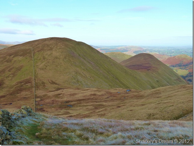
High Street & Short Stile (foreground)
For me this is Lakeland, yes I am in love with many summits, but its High Street who stole me all those years ago. |
 |
| |
Almost at the summit shoulder…
I chose to ascend to the left of the stone wall, something that I have only ever done once before & although here the path is wide, it was while on the ascent below was I almost hugging the wall, not many ascend this way & I can see why. |
 |
| |
High Street summit trig point.
The main reason I approached the summit from the left of the wall was I wanted to get that new feel as I have always approached from this side (my favoured) In the end I swapped sides I went back to what I knew was best, you cant knock a bloke for trying!
Incidentally, here’s what the approach looked like from the left (least favoured) |
 |
| |
I think least favoured is a bit harsh, don’t you?
With all but a small ascent out of the way it was time to head for Thorthwaite Crag, zip up because it’s bloody cold! |
 |
| |
The un-mistakable Ill Bell ridge with a glistening Morecambe Bay in the distance. |
 |
| |
Thorthwaite Crag beckons.
This, was thee coldest part of the whole journey, exposed as it was I did not cross one single walker without hats & hoods, me I didn’t succumb to that just yet, which is probably the reason why now I’m still dithering as I write this! |
 |
| |
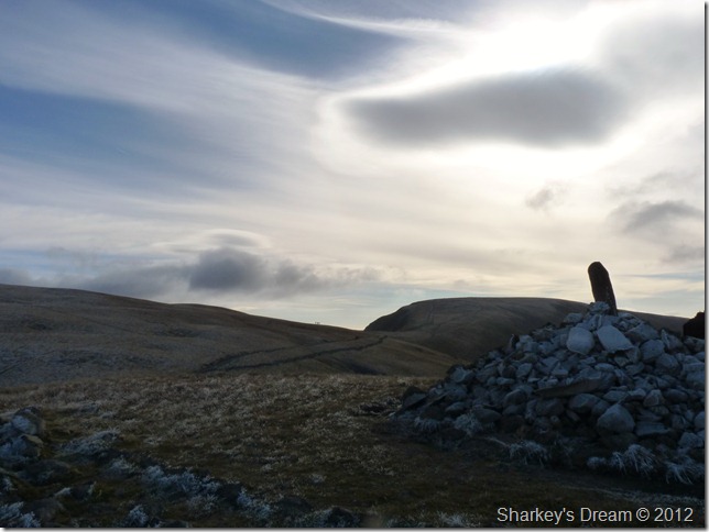
Commanding views over Hayeswater, Rest Dodd, The Knott with Gray Crag on the left.
Footnote:
I scurried about the rim of the valley looking for a path down but was unable to find one, I know a path circumnavigates Hayeswater but to the best of my knowledge is this the only path within the valley?
If anyone reading this & has ascended Thorthwaite Crag via Hayeswater please let me know how you got on for future walks. I know it may also be frowned upon as wild deer graze the valley so maybe this is why it is seldom used? |
 |
| |
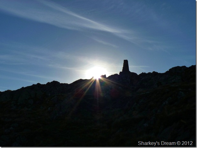
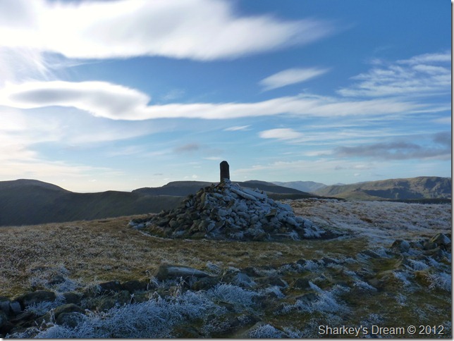
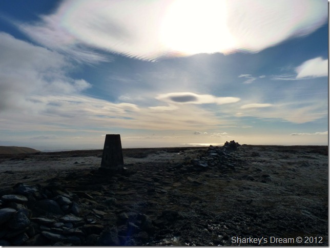
Thorthwaite Crag beacon.
Luckily I had the summit to myself for the time I spent here which really wasn’t much at all, I knew before me lay the task of descending Threshthmouth Cove & then to descend Pasture Bottom my exit route, in total I will be descending a continuous 1,300 feet.
Toes’ introduce yourselves to the caps of your boots! |
 |
| |
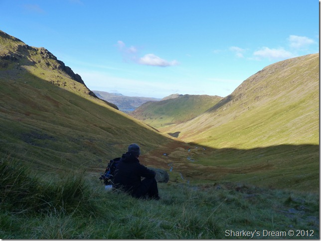
Caudale Moor & Hartsop Dodd (R) from Threshthwaite Mouth.
Pasture Bottom lies to my right but its the small matter of descending Threshthwaite Mouth, I pass a couple on an ascent, the guy patiently trails behind his wife at her own pace which was very noble I thought. To my left is Troutbeck & Troutbeck Tongue, a beautiful valley yet I dare focus on the valley as the glare is blinding from the strong winter sun.
I pass more walkers as I reach the bottom of the col when one walker asked me, is it windy up there? No I reply – only in small amounts, its the cold that is carried by those small amounts however that will leave you breathless at times…
This from a guy high on menthol sweets I ask you!
Lunch is well overdue… |
 |
| |
Pasture Bottom
I had an email from Father Shaun (a good friend of whom I have shared many walks) well over a month ago, when during the time my mum was taken ill. It was during this time I had a pre-arranged walk with Shaun, where? that was to be finalised. Cutting a long story short Shaun went ahead with the walks respectively without me due to my circumstances, in a later email Father Shaun wrote; Paul, you must try Pasture Bottom as an ascent/descent route.
If it wasn’t for that email, Pasture Bottom may have gone unseen, maybe until ‘another day’ so I only have Father Shaun for bringing Pasture Bottom to my attention.
Pasture Bottom wasn’t without incident however, not long after shouldering pack in excruciating pain as my left calf muscle went into spasm, curl your toes-curl your toes-curl your toes! I can’t curl my toes its too painful!
Gradually the pain eases & I am soon back on my feet, maybe a little less spring than I first set off nearly six hours ago. Paths are marred with ice, this causing the descent at times to be painfully slow, the scenery changes however once upon the valley floor, shadowed by the huge flank of Gray Crag the peaceful walk back along Pasture Beck was a fitting time to reflect on the days events not least of all the infection nestled within my chest – the grit underneath my boots soon took care of what ailed me.
I arrive back in Hartsop after de-layering somewhat to scenes of Autumnal beauty, gone are the outside lights on the out-buildings, replaced by one blissful end to a anniversary walk in the Hamlet of Hartsop and Lakelands eastern fells. |
|
| |
| Back to top |
 |
|