|
Ingleborough & Whernside |
 |
 |
14th April 2012 |
 |
|
Today I find myself in the Yorkshire Dales with good friend & webhost of Walkingplaces, Stuart Greig. This was another walk planned from within the past month or so & one that Stuart wanted to use as a tester for his forth coming Skye Trail, another fantastic long distant trail on the upper western reaches of Scotland, Stuarts walk will comprise of roughly 110 miles spread over 10 days.
Our walk today will test not just Stuart but me also, todays route will come in just under the sixteen mile mark & unusually for me, just the two summits will only be included. I think you may gather by now that Ingleborough & Whernside aren’t exactly close together in that both summits are spread apart by five miles of bog, beautiful Limestone Pavements & rolling green pasture’s.
Anyone up to date with my blog will know that I picked up a knee injury only four days ago, the injury caused a little swelling on top of the left knee yet this was kept at bay by ice packs & three daily doses of Ibuprofen, structurally my knee felt solid enough for this walk, mentally I was all over the place especially on the descent from the first summit of Ingleborough.
Make yourself comfortable & see how we got on… |
|
|
| |
| |
|
| |
|
| |
|
Overview |
|
|
| Ascent: |
3,700 Feet, 1,127 Metres |
| Wainwrights: |
N/A |
| Weather: |
Bright & Sunny To Start, Turning Much Fresher With Snow Showers On Tops, Brightening Up For Latter Of The Afternoon, Highs Of 10° Lows Of -1° |
| Parking: |
Parking Spaces, Ingleton Village |
| Area: |
Yorkshire Dales |
| Miles: |
15.6 |
| Walking With: |
Stuart Greig |
| Ordnance Survey: |
OL2 |
| Time Taken: |
6.5 hours |
| Route: |
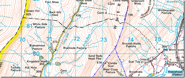
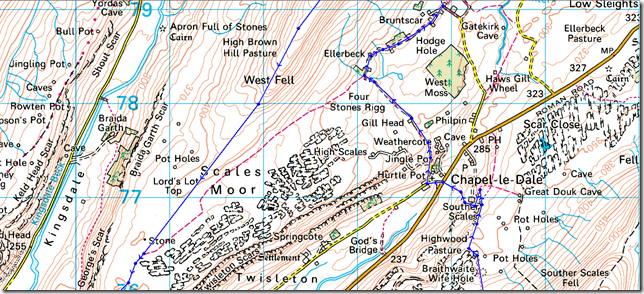
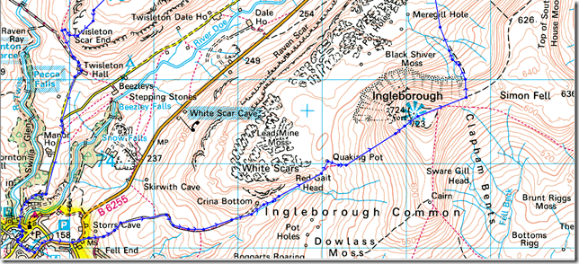
Ingleton – Fell Lane – Crina Bottom – Ingleborough – Humphrey Bottom – Chapel-le-Dale – Bruntscar – High Pike – Whernside – Combe Scar – Scales Moor – Twisleton Scar – Roman Road – Oddies Lane – Ingleton |
|
| |
|
Map and Photo Gallery |
|
|
 |
| |
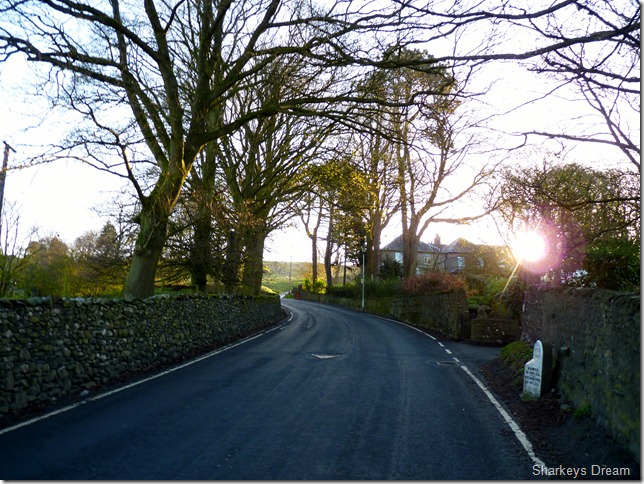
Leaving Ingleton for Fell Lane.
We arrived in Ingleton early, even for my standards at around 07:15am, the streets were quiet & only the odd occupant of the village witnessed the pair of us kitting up at the back of Stuart’s car as they took their dog out for an early morning stroll.
Stuart is un-decided on what footwear he should wear, boots or shoes Paul? At the moment Stuart has a pair of Salomon Boots much like mine, the problem he had is they are leaving him with pressure point sores above his big toe, The easiest way to solve this dilemma is to ask Stuart one simple question? which one comes to mind first Stuart, the boots Paul he answers.
Wear your boots Stuart.
I don’t want to see Stuart in pain or in any uncomfortable situations, but neither do I want him regretting his decision as we cross the many bogs & Limestone Pavements, not to mention the incredibly steep descent from Ingleborough’s summit. |
 |
| |
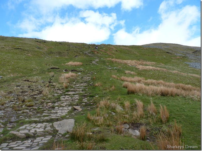
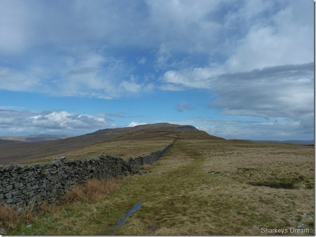
Fell Lane.
On reaching Fell Lane as we climbed our way out of the village I am struck with my first sight of Ingleborough, it really is a crisp beautiful morning, perfect walking conditions even, but in all this grandeur I have forgotten my sunglasses, they sit in the door pocket of my car back in Wigan, when right now they should be sitting on the bridge of my nose, I struggle with the sun’s glare only looking up when I really have to, even this causes my eyes to water un-controllably for the next few miles. |
 |
| |
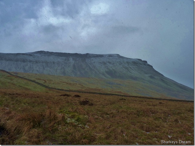
Whernside.
As we trail Fell Lane we also get a long distant view of Whernside, all six miles of her from Twistleton Scar in the left of the photo all the way to the summit, far right, this was the point when I realised were all the mileage was in todays walk. |
 |
| |
Ingleborough from Crina Bottom.
The path takes you through Crina Bottom where we follow a light beck to our right past Stuart’s dream house over on the left, Crina Bottom Farm, complete with wind turbine & outdoor decking, could do with a lick of paint though… |
 |
| |
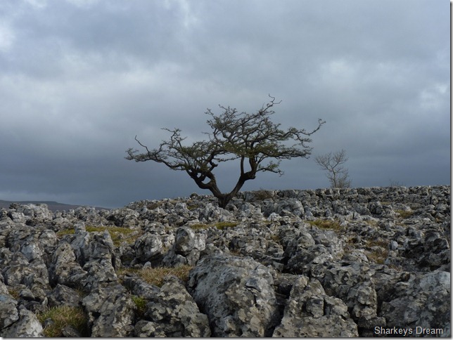
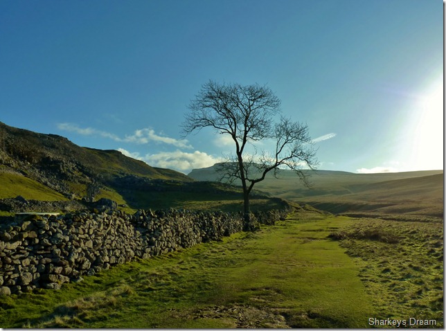
A lone tree marks the path with Ingleborough in the background. |
 |
| |
Looking back on Crina Bottom. |
 |
| |
Summit bound.
In between us leaving Crina Bottom & here the wind has increased dramatically, this causes both Stuart & I to layer up, I take out my hat while Stuart does the same, at this point not going un-noticed is a bank of cloud coming up through the valley to the left of the photo… |
 |
| |
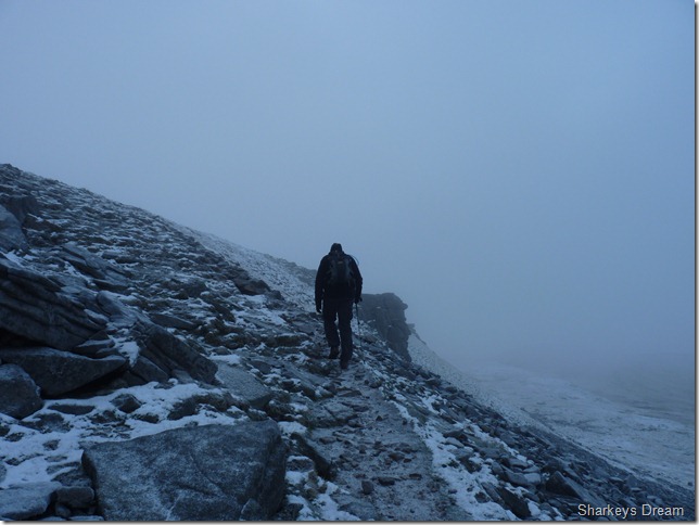
What a difference twenty minutes can make.
You’d be hard taken to believe that this is the same walk never mind the same morning, within only a few moments of the last photo being taken the wind carried the bank of cloud directly over Ingleborough’s summit, we certainly wasn’t expecting to be gaining the summit during a snow spurt but that is exactly what we got.
At this point I am still in my mid-layer & although as cold & wintery as it looked I leave my jacket off until we reach the comfort of the summit shelter, but that is still a little while off.
Here Stuart looks upon a fell runner quickly gaining on us, he wears no pack just head to toe in lycra & bright yellow gloves, crazy bunch those fell runners!! |
 |
| |
| |
 |
| |
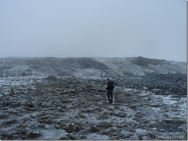
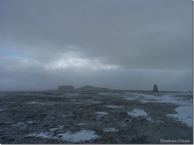
Ingleborough’s summit Trig Point & Shelter.
Stuart takes a photo of the Trig point & then makes for the shelter, I am a little disappointed with the conditions on top as I wanted to do a tad exploring of the remains, of what was said to be a settlement or a fort, situated here at the summit, to this day the remains haven’t been fully confirmed whether they are Roman or Celtic, a fort or a settlement,
Where’s Tony Robinson when you need him?
As I reach the shelter Stuart is already layering up again, the wind has a freeze to it & the cloud & snow disorientates vision. I sit briefly at the shelter & take my pack off in search of my wind stopper gloves, jacket & open a handful of Haribo for breakfast.
The stay in the shelter is brief as we press on to find the path that will lead us down to Humphrey Bottom. |
 |
| |
Through millennia the path is easy to stick to & locate, Simon Fell lays at the far end of the ridge yet our way down was via a very steep path somewhere in conjunction with the stone wall you see in the left hand bottom of the picture. |
 |
| |
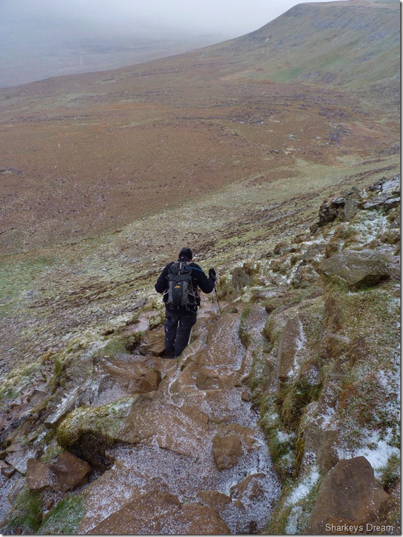
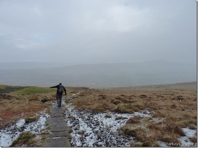
Stuart heading down the steep stone path.
This path was my ultimate test & in my head I was truly bricking it, there’s no amount of telling myself I am fine, this path tortured me mentally with my knee & it wasn’t before long Stuart was at the bottom waiting for an overly cautious descent from yours truly. |
 |
| |
At least I wasn’t on my own!
Stuart takes a slight spill but manages to keep on his feet, I however; a little further along the flagged track went head over heals under a patch of black ice, dented pride & a wet arse never did no-one any harm! (he says) |
 |
| |
Looking back on Ingleborough from Humphrey Bottom. |
 |
| |
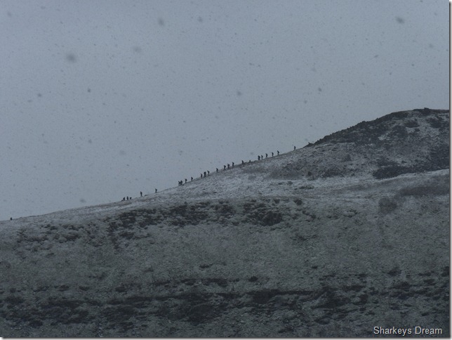
It was still snowing when I took this photo of a group of walkers leaving the summit (possibly three peakers) |
 |
| |
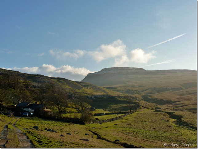
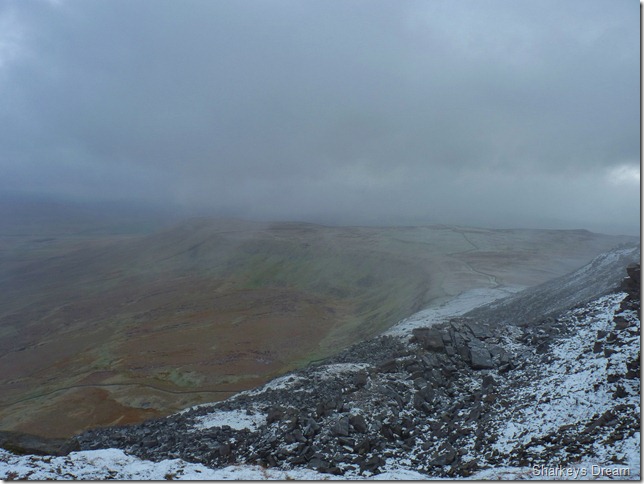
Whernside from Humphrey Bottom.
The snow had stopped as we made our way across Humphrey Bottom, ahead in the very distance sits Whernside, our route across here would take us through the Limestone Pavement you see in the centre, then keeping to the right of the patch of trees way ahead, but all that is quite a while off yet. |
 |
| |
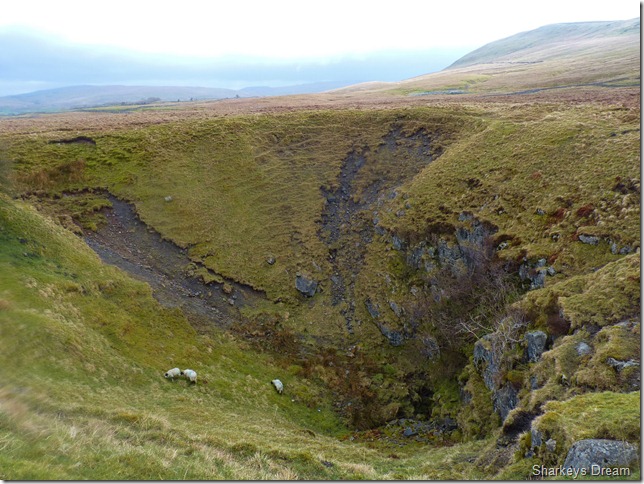
Braithwaite Wife Hole.
This route & indeed the whole of Yorkshire is criss-crossed with caves & sink holes such as this, I just cant imagine why Braithwaite named his wife after it! |
 |
| |
Looking back on Ingleborough as we pass through a section of Limestone Pavement. |
 |
| |
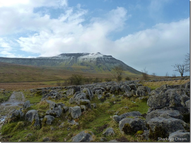
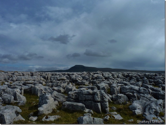
Whernside from Souther Scales.
Grasping the magnitude at the whole length of Whernside was magnificent, although we are only around half way point, I can clearly see our exit route along the back bone like ridge of Whernside as we get closer. |
 |
| |
The sandwiched layers of Limestone stretch throughout the length of the Ribblehead valley. |
 |
| |
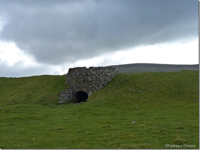
The Stone Kiln, Souther Scales.
The lime would of been fed from the top to a fire below, this way the burnt lime could be extracted from the lime & then used as fertilizers for the farmers crops. |
 |
| |
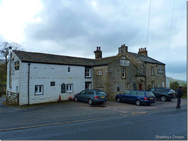
The Old Hill Inn, Chapel-Le-Dale.
We leave the green pastures of Souther Scales as we pass through Chapel-Le-Dale situated along the B6255. The Old Inn dates back to 1665 which was then know as Drovers Inn, in 1835 the building to the left was added when the property was also used as a farm.
Not long after passing The Old Inn do we take a right & head up Philpin Lane. |
 |
| |
Whernside from Philpin Lane. |
 |
| |
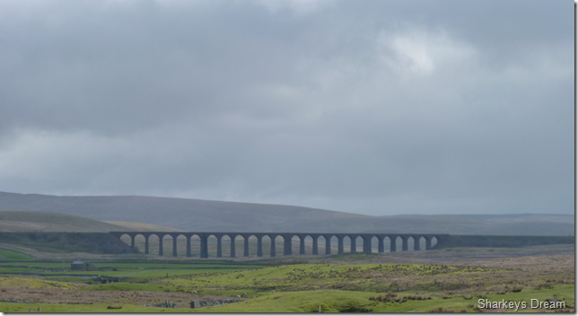
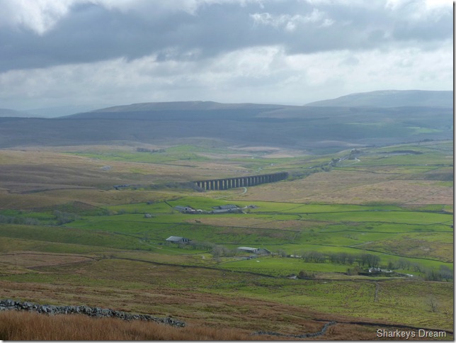
The Ribblehead Viaduct.
Built in 1870 linking Settle with Carlisle & only taking four years to build by over one thousand navvies, of which one hundred of them lost their lives during the construction of the bridge; this caused Chapel-Le-Dale graveyard to be extended.
The viaduct stands as a Grade II listed building. |
 |
| |
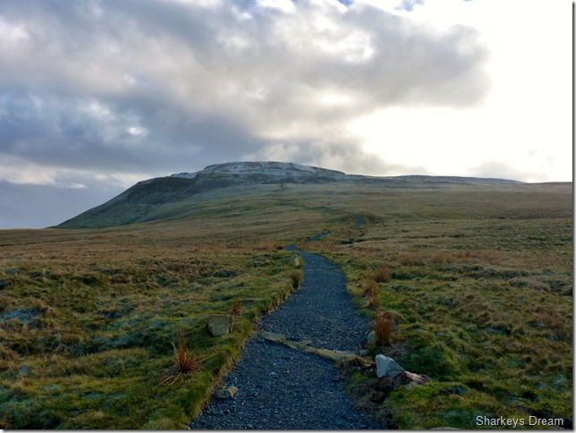
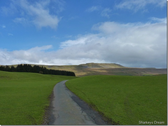
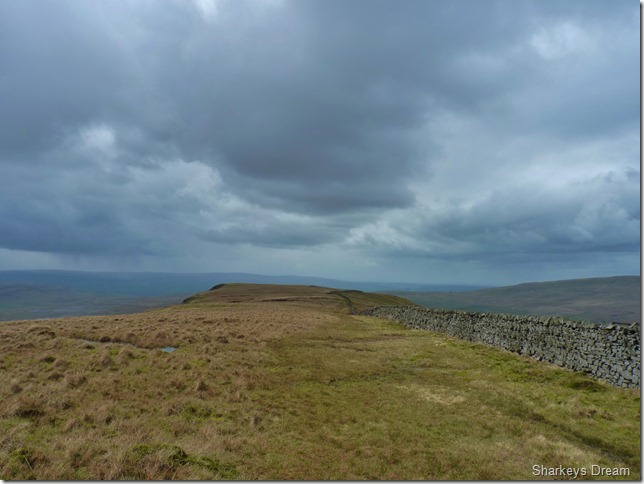
Whernside Bound.
The path here is near perfect yet steep with exception to a bit of mud, here we are met by half a dozen folk coming down the mountain, be it running or walking, some stopped to chat & just say hello, the topic of conversation was just how windy it was ‘up there’ coming from Ingleborough in the snowy conditions such as we had, we figured this could be handled adequately.
We stopped to chat with a guy much the same age as me, he was quite impressed with mine & Stuarts route & asked were we doing the three peaks? It turns out the guy was ex-army & had completed the three peaks in a little over five hours many moons ago he started, I live in Skipton & to be honest I don’t usually bother with the fells he told us, well there’s nowt like a day like today to get your heart back into them. We parted with a ‘thanks’ thanks for what? thanks for the chat & letting me get my breath back! |
 |
| |
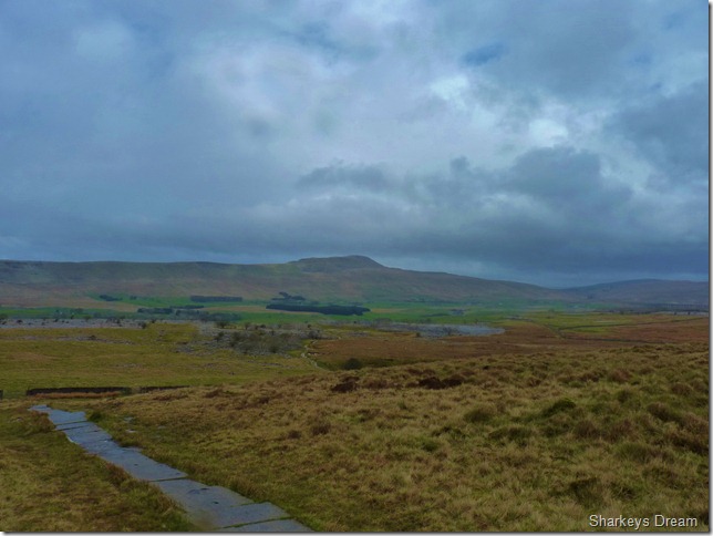
A long distance view of Ribblehead Viaduct. |
 |
| |
At the summit shoulder & still a bit to travel before we reach the main summit (the peak ahead isn’t the summit!) |
 |
| |
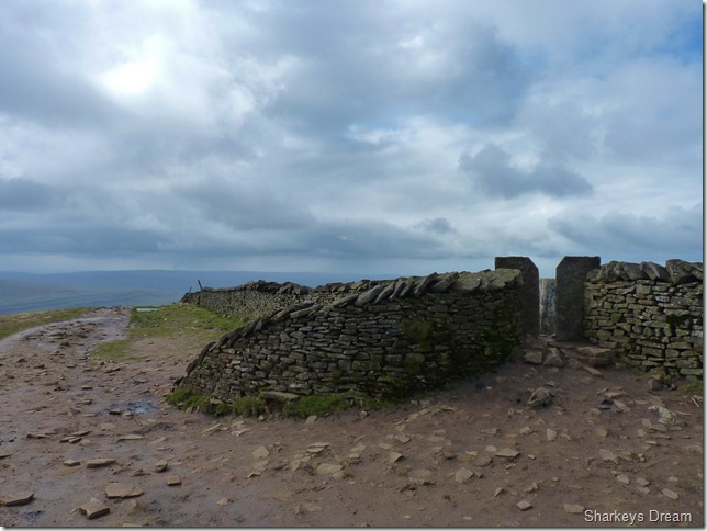
Whernside summit & one of the newly built shelters built to commemorate the turn of the millennium.
As I took this photo Stuart had already passed through to the other shelter as this one was full, I found Stuart getting himself with… |
 |
| |
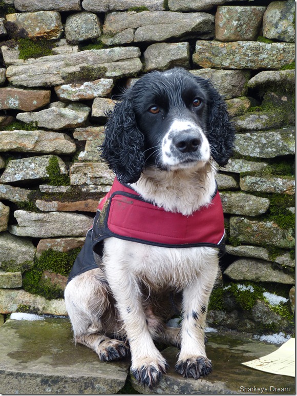
Henry.
A member of search & rescue who sat patently with his owner, a Marshall covering the Yorkshire Three Peaks event taking place throughout the weekend.
Henrys face says it all…Can I have a piece of that sandwich, patience is a virtue Henry, before I leave I give Henry a chunk of tuna mayo sandwich |
 |
| |
Long distant views of the Howgills from Whernside’s summit.
We weren’t too sure what the couple was doing with the tent, too early to be pitching up for the night & too excessive to be pitching up just for a shelter? |
 |
| |
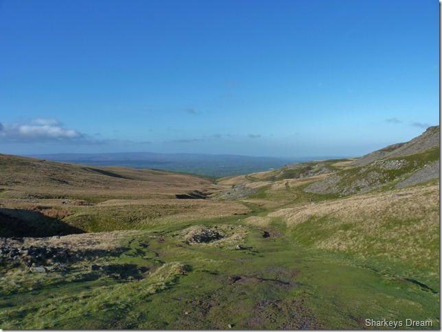
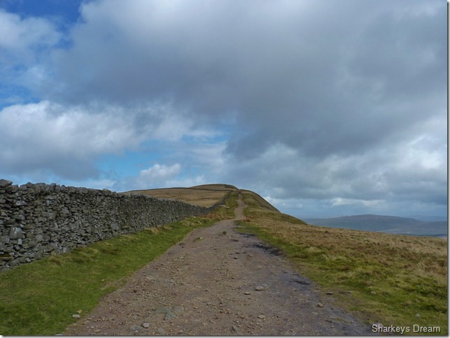
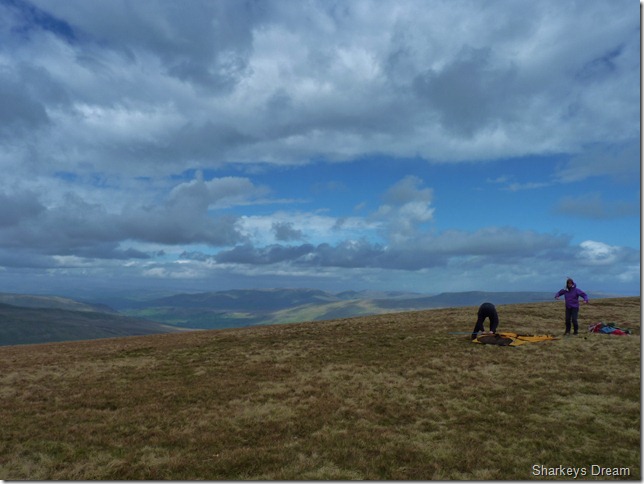
After leaving the main summit path now teeming with walkers, we take a right at the wall & take in the brilliance of a five mile ridge walk. |
 |
| |
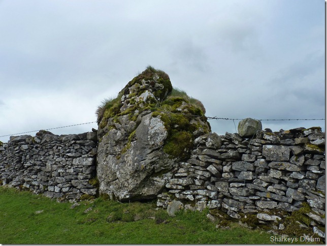
The Boundary Stone found along the ridge. |
 |
| |
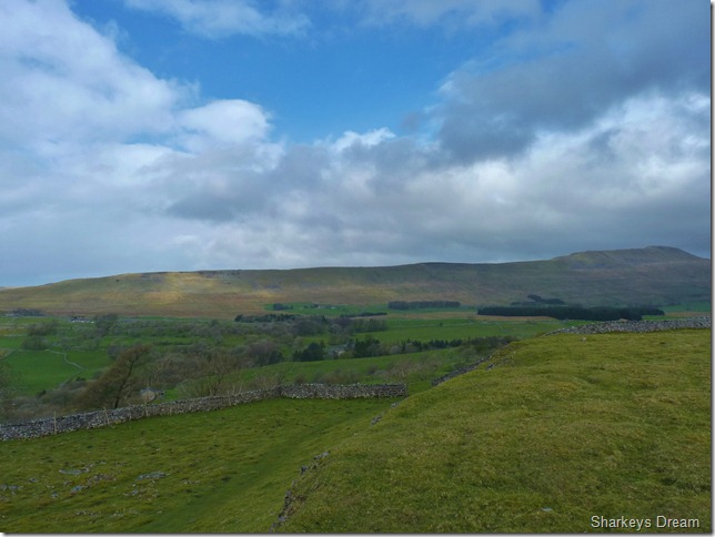
Looking back at Whernside as we approach West Fell (around half way point along the ridge) |
 |
| |
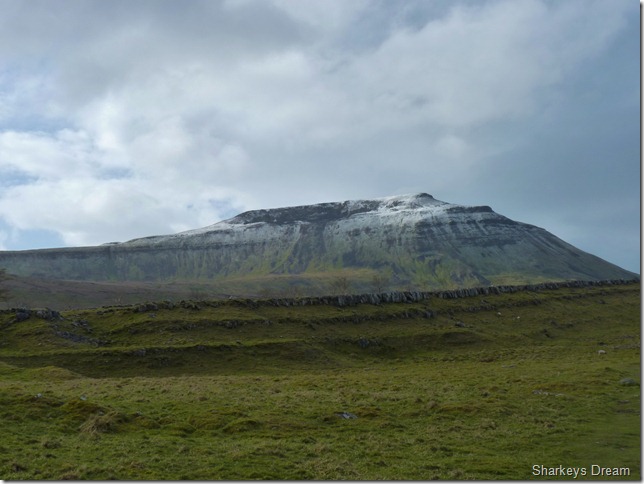
Ingleborough as we pass through Scales Moor & more beautiful Limestone.
By now legs ached as we approached the thirteen mile mark, however I was more than happy with my knee as it felt solid at crossing or jumping across boggy sections this again was good for confidence, I know by nature its going to be a while before I can gain a trot down a mountain side, but with each visit I’m sure confidence will fully return.
Stuart felt on great form too, it seems that he had been feeling under the weather this past few weeks owing to the fact that he had lost over three stone in preparation for his Skye Trail, he put this down to dropping a whopping calorie count per day, maybe something that his body felt difficult to get used to, this walk today also built confidence mentally for Stuart.
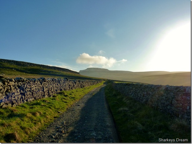
We pass more Limestone as we eventually leave enough height & gradient behind us as we drop down Twistleton Scar with views of Ingleton Quarry & a distant Ingleton Village. |
 |
| |
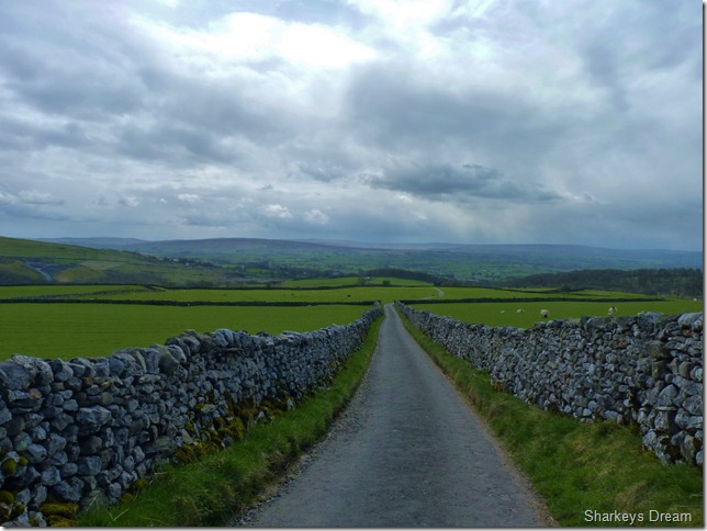
Oddies Lane.
As we make our way through an array of beautiful cottages at Scar End do we then find ourselves on this long & narrow dry stone lane & Ingleton bound, we are still a few miles out of the village situated dead head behind the trees you see in the photograph & this gives us time to reflect on the walk & more importantly talk football. |
 |
| |
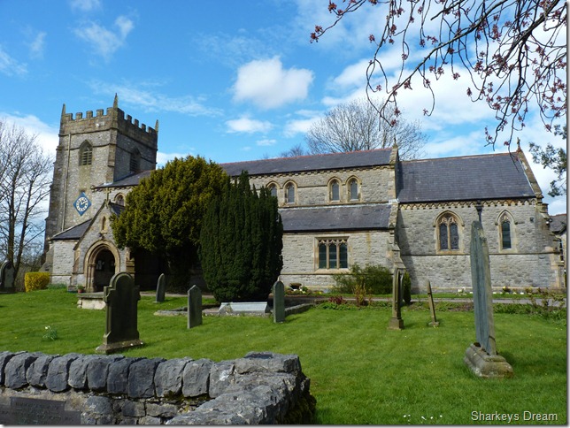
St Marys Chruch, Ingleton.
St Marys marks the end our intrepid walk, during the last half hour of the walk the sun came out, being here in this beautiful village while children eat Ice Cream & folk chat whilst sat on the village benches seems a million miles away from the conditions we experienced on Ingleborough not seven hours previous. |
|
| |
| Back to top |
 |
|