 |
Not a Grasmoor Circuit |
 |
 |
26th February 2012 |
 |
|
Only one week had passed until I found my self on the opposite side of Buttermere on the fringes of the North Western Fells, the contrast in the weather however, couldn’t of been more graver. Today I am walking with Tim – a walked planned within the last fortnight given Tim’s hectic schedule meant we had only the one day to play with, it was the day the cloud gods decided to leave only a wafer thin slice between it and the head land.
I & we had known about this prior, it happens, yet it did not deter a single moments walking or scrambling we had on this day. We could of stayed at home & watched SpongeBob, instead, this day although with only one out of the six summits in sight will be remembered as a truly fantastic one, as silent and eerie as this whole walked deemed & although not a single sight was seen, sometimes we all have to remember as I did today, its not all about stunning scenery, its about getting out there & testing oneself, when the adrenalins stopped screaming & the only sound you hear is ones breath, & you cannot fix on a single object within ten feet, its then you know, this is why I & we climb.
Lakeland is not all pretty faces, what you can’t take away in views can stay with the soul like no other, today was one of those days. |
|
Wainwright Guidebook |
 |
| The North Western Fells |
-Wandope:
There is no Mountain not worth climbing, and any summit above the magic figure of 2,500 feet might be expected to attract fell walkers and peakbaggers in large numbers. To some extent Wandope does this, but only because the top almost gets in the way of the popular triangular tour based on Buttermere – Whiteless Pike, Eel Crag, Grasmore – and the cairn is visited almost as a matter of course (if indeed it is noticed at all) and by the simplest of detours. The other three, too, featured more prominently in the landscape and are often climbed individually as sole objectives – but rarely Wandope which is sandwiched between neighbours and to hidden to attract separate attention. In Fact, Wandope, is only well seen from the uninhabited valley of Sail Beck, from which it rises in a mile – long wall rimmed a thousand feet above by a line of shattered crags. |
 |
|
| |
|
Overview |
|
|
| Ascent: |
6,283 Feet, 1,915 Metres |
| Wainwrights: |
6, Whiteside, Hopegill Head, Eel Crag (Crag Hill) Wandope, Whiteless Pike & Rannerdale Knotts |
| Weather: |
Mild With A Low Cloud Base (450/550 Metres) Patches Of Drizzle, Not Lifting All Day, Highs Of 8° Lows Of 7° |
| Parking: |
Off Road Parking, Lanthwaite Green (F O C) |
| Area: |
North Western |
| Miles: |
9.7 |
| Walking With: |
Tim Oxburgh |
| Ordnance Survey: |
OL4 |
| Time Taken: |
|
| Route: |
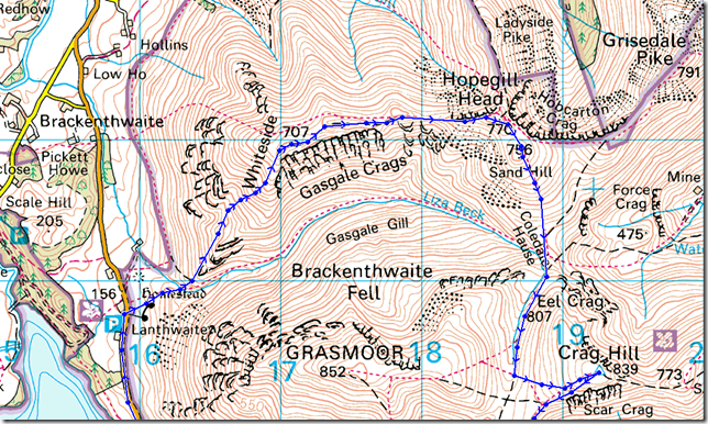
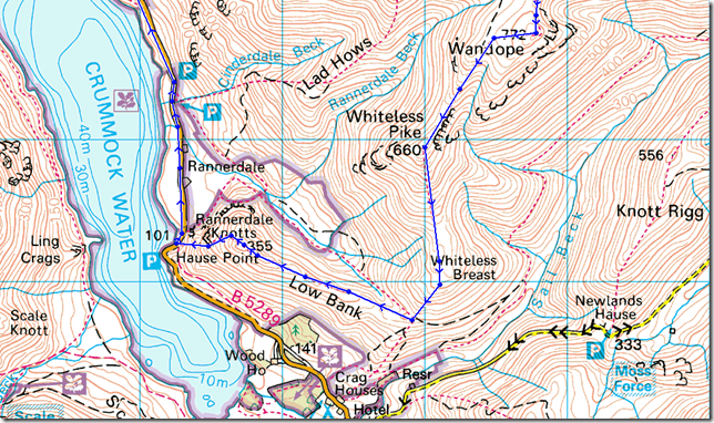
Lanthwaite Green – Whin Ben – Whiteside – Hopegill Head – Sand Hill – Coledale Hause – Eel Crag (Crag Hill) – Thirdgill Head Man – Whiteless Edge – Whiteless Pike – Rannerdale Knotts – Lanthwaite Green |
|
| |
|
Map and Photo Gallery |
|
|
  |
| |
| |
 |
| |
Whin Ben & Whiteside form Lanthwaite Green.
Its a still 7° in Lanthwaite but it feels much fresher as we kitted up besides the car, on the plus side its early, we arrived after a two hour-ten minute journey at around 8:10am, this meant an early rise, as it was for me at 5:30am, & even earlier for Tim at 4:45am.
Leaving an extra half hour does give you that extra light on a day such as today, it is supposed to leave you in good stead as it did me last Sunday, a mile & a half up the lake in Buttermere, but today it is I’ not Tim who’s feeling the pressure of not having a decent nights sleep in over a week including the previous night, this leaves me zombified, with this, Tim drives my car to Lakeland leaving me to catch up on some much needed sleep on the journey.
I come too after leaving the A66 for Braithwaite, I’m not entirely convinced Tim likes me as a passenger, I proceed to name & point out, every Farm House, Bridge & Fell from the passenger window as we head over the Whinlatter Pass. |
 |
| |
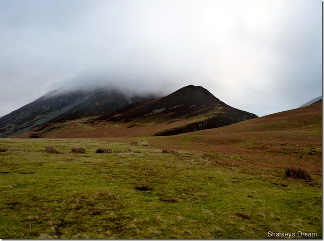
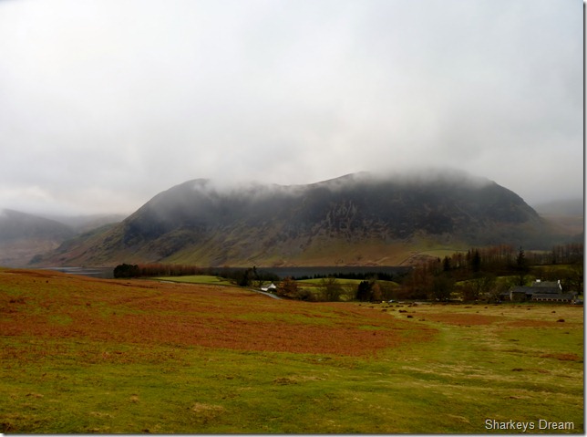
Looking back over Lanthwaite Green & a cloud topped Melbreak. The car park is situated to the left of Lanthwaite Green Farm to the right of the picture, it even has its own telephone box, a rarity in suburbia never mind Lakeland these days. |
 |
| |
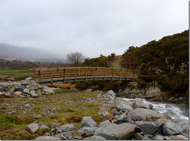
Crossing this newly constructed bridge over Liza Beck. |
 |
| |
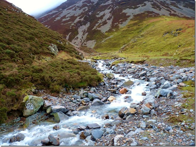
Liza Beck.
You can see where Liza Beck has burst its banks on more than one occasion all along this stretch, the boulders you see haven’t been put there, they have been carried down stream over the time during storms.
Avert your eyes to Grasmoor ahead, just under half way up its flanks you may spot a horizontal path leading through scree… this, a path that is domineered by Gasgale Crags over on the left as you enter the valley, a must traverse to gain the top of Coledale Hause, but that is for another day… |
 |
| |
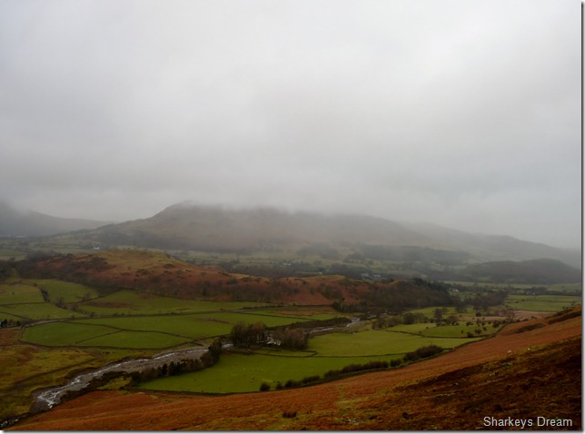
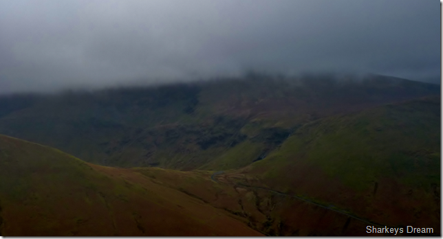
Setting the scene over Lorton.
At 423 Metres or 1,387 Feet, not even Low Fell & Fellbarrow can escape the low slung cloud. |
 |
| |
Melbreak & Crummock Water as we gain more height ascending Whin Ben. |
 |
| |
And from a little higher as we leave the steep slopes of Whin Ben behind. |
 |
| |
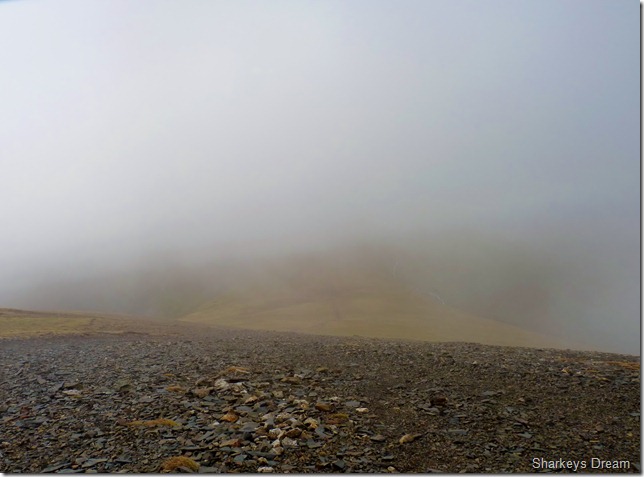
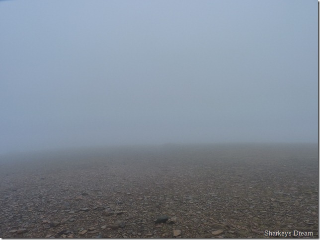
After a few rocky scrambles we are almost within reach of the summit, sadly, while on the ascent we lose all views, I especially was again looking forward to views of Gasgale Crags but this scene, & for the next four hours pretty much set the marker for the rest of the day.
We take a short rest at the summit while Tim reaches for the Haribos, I take off my pack & take out my hat & gloves, for the last few hundred meters has got deceivably chilly! |
 |
| |
Wainwright described the ridge to Hopegill head as “one of the finest high level traverses in Lakeland” I agree, Just because you cant see it, doesn’t mean its not there to be enjoyed as eerie as it was, this was the best part of the walk for me. |
 |
| |
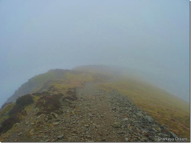
Lost in the cloud is this arête just beneath Hopegill Head summit, probably not the best idea to go over the top in visibility such as this, so we stuck to the path off to the left. |
 |
| |
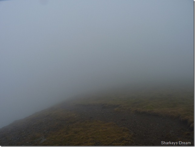
Ahead, an eerie Hopegill Head looms out of the mist. |
 |
| |
With nothing to see except the small stone cairn marking its summit, instead of soaking in the views I soak in the atmosphere, the low cloud brings this in bucket loads & despite the lack of views I am a happy boy. |
 |
| |
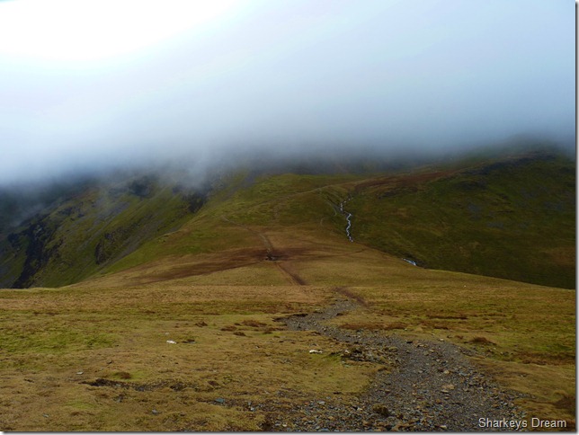
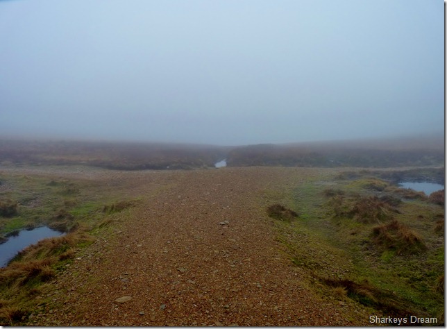
In search of Sand Hill & Coledale Hause.
In weather & low visibility such as this, I wouldn’t dream of leaving the car for a hike in the Mountains. Experience & a map of the area is essential, just like an F1 racing driver would know the likes of Silverstone like the back of his hand, its much the same idea for us hill walkers, being comfortable in surroundings like this is only due to experience & knowledge of your surroundings, without it, you may find yourself looking up at the belly of a Sea King helicopter.
Even after my experiences on the North Western fells, you still cant take your surroundings for granted, if you do, their gonna bite you on the arse, just like they did me, a little further on in the walk. |
 |
| |
Heading down the scree slope for Coledale Hause. |
 |
| |
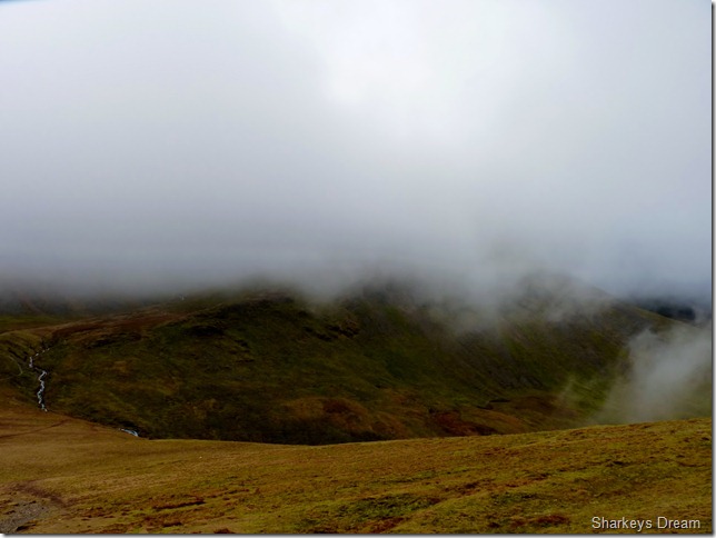
Coledale Hause.
The cloud broke momentarily as we reached the grassy plateau, it wasn’t to last but nice while it did. |
 |
| |
Looking towards a cloud topped Grasmoor from Coledale Hause. |
 |
| |
Under a barrage of cloud looking towards the central peak of Outerside from Coledale Hause. |
 |
| |
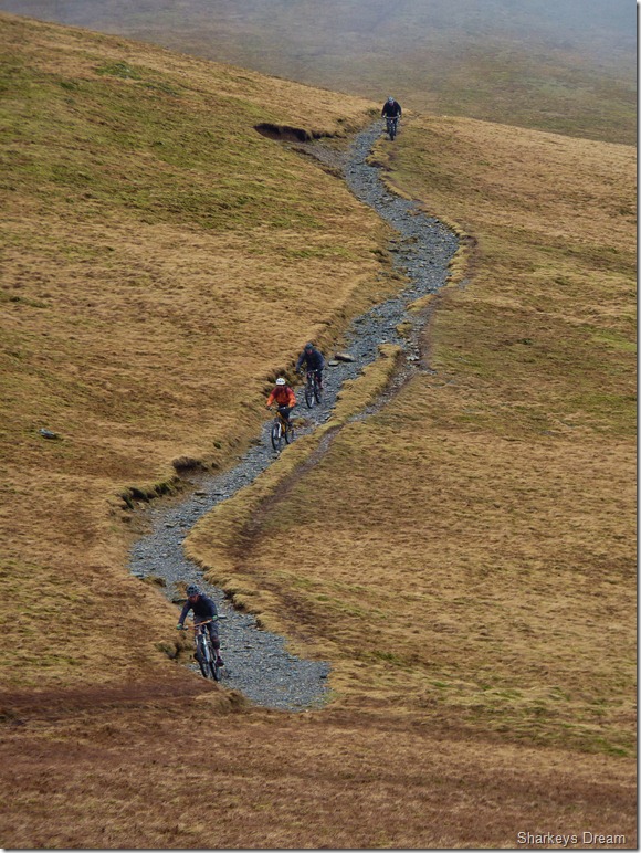
What looks like great fun.
We spot four mountain bikers hurtling down towards the Hause coming from the direction of Grisedale Pike, despite my love for mountain walking, I was a dab hand on the old two wheels when I was younger, amateur racing BMX’s during the eighties, this then leading to scenes such as this all over the North West of England, carrying a bike on ones shoulder up a mountain never appealed to me, so I took up long distance riding during the summer months, something that I still enjoy to this day.
The poor guy at the back seconds after I took this picture got a puncture & I’m not surprised at the hammering those tyres were taking, this I know because I heard the word S##T!! echo across the Hause, his mates waited as he fitted a new inner tube – we passed pleasantries & made our way up the stone track in search of Grasmoor.
A conscious decision was to be made somewhere along that path… |
 |
| |
At the crossing with Eel Crag (Crag Hill) Left & Grasmoor, Right.
We were well & truly back in the clag, more so it seemed, it was here; or just previous to this picture being taken do we make the decision whether to summit Grasmoor or not, it wasn’t the tired legs, it was the fact that we couldn’t see twenty yards in front of our faces, this scene was at 700 Meters, one can only imagine what the visibility would be like a further 70/80 Meters up the mountain.
This walk centred around summating Grasmoor, but neither of us had good enough reason to be up there on a day like today, I had already summated Grasmoor twice, Tim the once, on any other given day, you or I would have found the reason to summit, but today, we couldn’t.
Instead we head left for Eel Crag (Crag Hill) a route that I have never used on all my four summits of the fell, this however, was Tim’s first summit, so we pulled out the reserves & headed off into the mist in search of Eel Crag. |
 |
| |
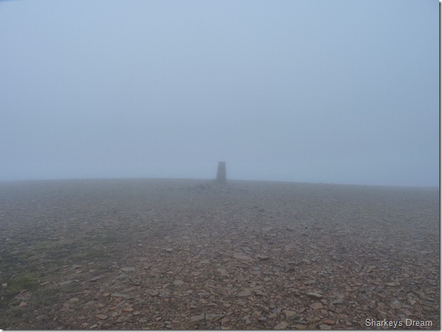
Eel Crag (Crag Hill) summit Trig Point.
This flat plateau of expansive rock gave nothing away today, only a solitary Trig Point predicting we were at the top.
In between the short walk from here to the Trig Point, did a fell runner pounce out of the mist & run diagonally across the summit plateau, I kid you not – I nearly filled my pants! |
 |
| |
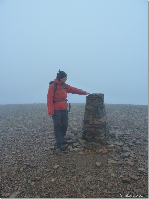
Tim at the summit of Eel Crag (Crag Hill) |
 |
| |
Forty yards in the wrong direction.
It is here for the first time during the walk I consult my GPS, here we are heading, not in any danger, but it seems we are heading in the direction of Sail, I consult my mental GPS, the compass within my head, I know the Trig Point is behind me so we re-trace our steps, there’s not an object out there to fix on so its eyes down on my GPS…
It is here I am reminded that even I’ in the comforts of an area I know & love can well & truly get bitten on the backside, lessons are learned as we now head for Addacomb Ridge. |
 |
| |
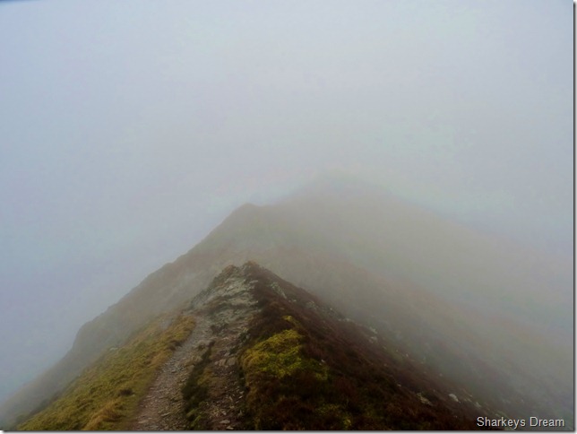
Navigating the Addacomb crater or more commonly know as the Addacomb Ridge, its such a shame we cant see the crater nor the steep crags beneath us, on a day like today, that might not be such a bad thing! |
 |
| |
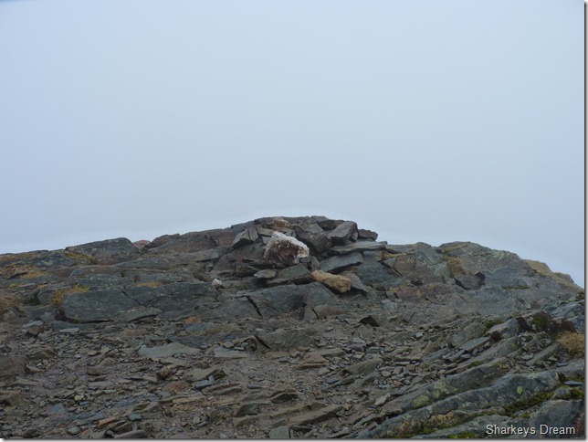
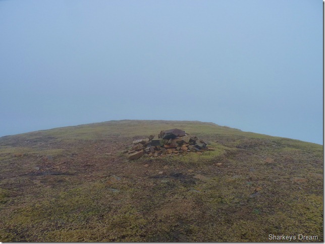
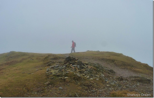
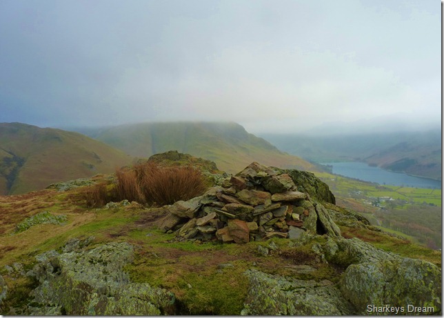
Appearing out of the mist lies Wandope summit carin. |
 |
| |
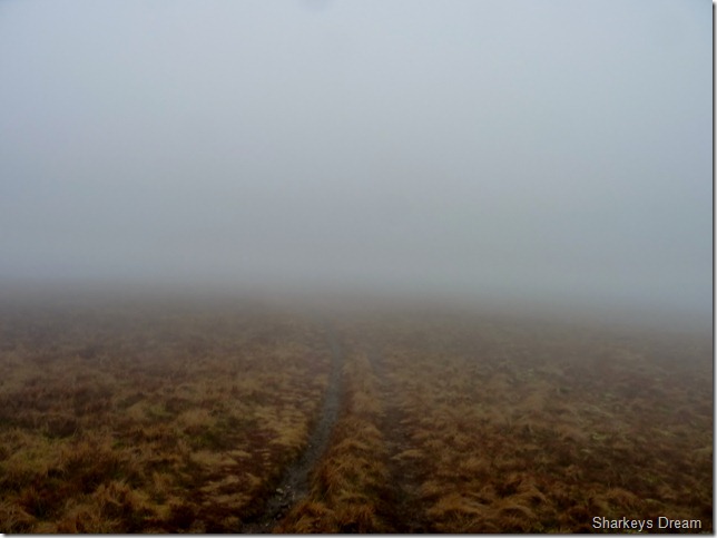
We leave the summit of Wandope & head across an eerie Wandope Moss. |
 |
| |
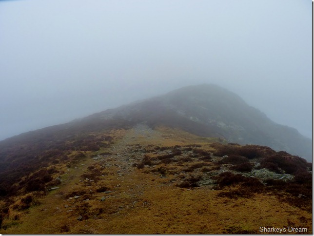
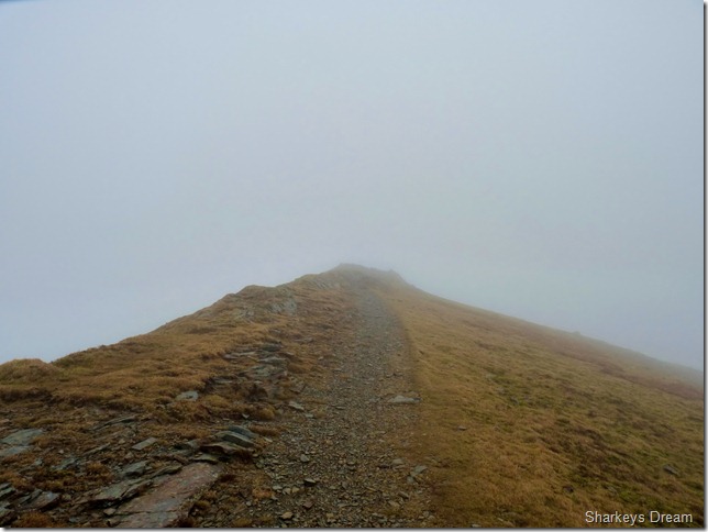
The Thirdgill Man Ridge, ahead lies Whiteless Pike but it is yet to be seen. |
 |
| |
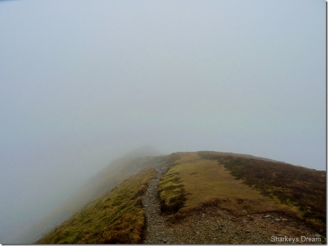
As with previous summits Whiteless Pike is no different, only a short climb onto its small grassy plain, is the summit cairn revealed. |
 |
| |
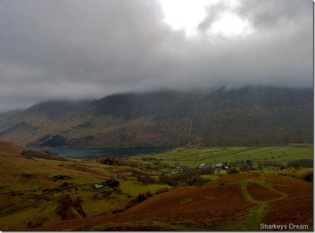
Heading down Whiteless Breast.
For the first time in four hours do we get an open view such as this, as atmospheric as walking on cloud topped summits was, it was nice to get the views back, ahead we have High Smockrigg & Robinson just under a bank of cloud, to the left of the picture is the top of Newlands Hause & mostly obscured by cloud to the right is the High Stile Ridge & a brief view of Buttermere. |
 |
| |
A close up of the top of Newlands Hause with Robinson still under cloud. |
 |
| |
Defiant clouds blanketing anything under 600 Meters, only Ard Crags & Knott Rigg are barley visible. |
 |
| |
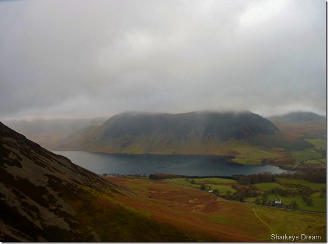
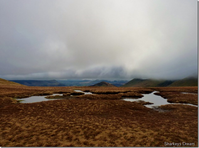
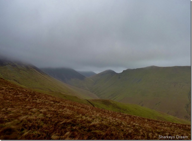
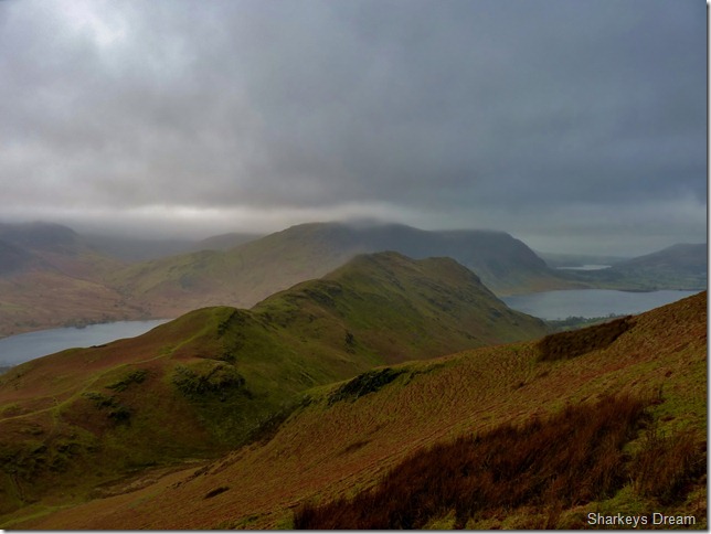
Nice to have the views back.
Here, looking towards our last summit of the day of Rannerdale Knotts, in the distance we have Loweswater with Melbreak summit just above the cloud base. |
 |
| |
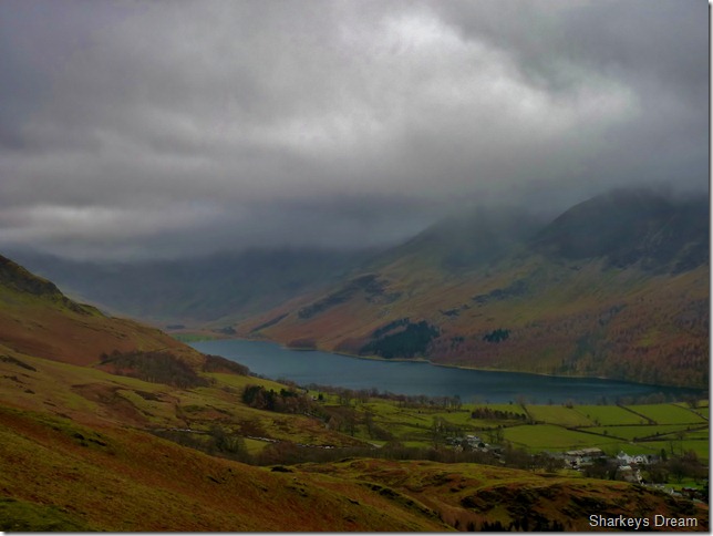
Looking down on the small village of Buttermere & the High Stile ridge, Red Pike is no-where to be seen, just the wash from Sour Milk Gill as it cascades down the mountain side. |
 |
| |
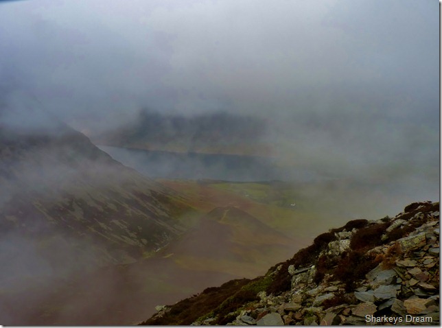
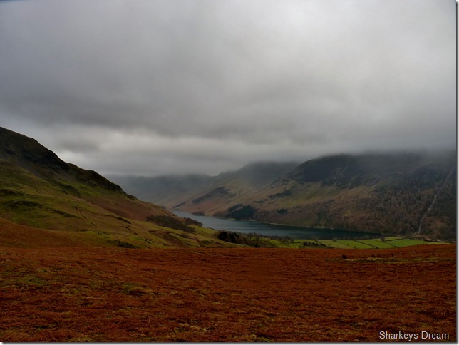
Over the flora towards Haystacks, nothing escapes the low cloud.
It was just after this picture was taken & just before we take in Rannerdale Knotts do we stop for lunch, my belly is hungry & we need another rest stop, despite the top’s covered in cloud I don’t think we could of chose a more beautiful spot to eat. |
 |
| |
Robinson under cloud from the summit cairn on Rannerdale Knotts. |
 |
| |
On leaving the summit we head for our descent route, a scenic one at that, but steep, very steep, just after the drop lies a series of steep steps, over the years most of all of the steps have been fashioned into the ground, thus creating a downward effect, this is all fine & well, & well suited for an ascent, but a descent on steep wet rock meant extremely careful footings, taking your time here no matter how much you want to get down is a must! |
 |
| |
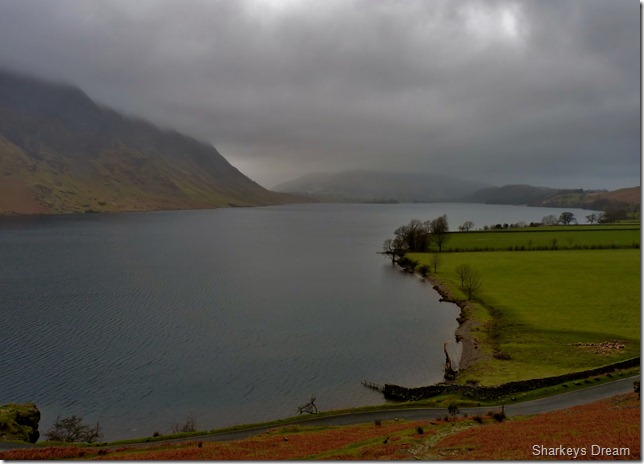
Crummock Water. |
 |
| |
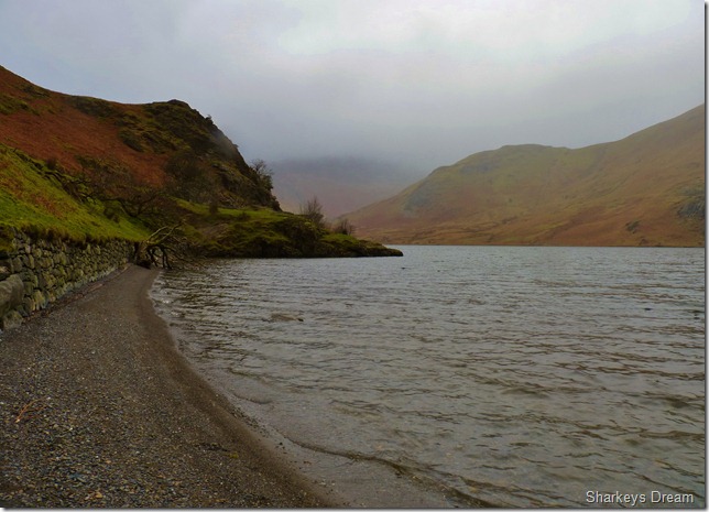
Hause Point, Crummock Water.
Our walk is far from over as I nestle at this undisturbed beach & take this picture of Hause Point.
Its just under a two mile walk back to Lanthwaite Green, its time to recollect on one of the best walks of the year so far. |
|
| |
| Back to top |
 |
|
