|
Deluge On The Far Eastern Fells |
 |
 |
16th July 2011 |
 |
|
It had been too long for anything to keep me away from the Fells this weekend, I’ve finally hung the bike up (for this part of the year anyway) & it was now time for me to put boot onto fell again. It had been an, I wouldn’t say agonising week- but painful & somewhat soul destroying as the previous weeks prolonged sunshine came to an end as the weather gods unleashed a weekend of rain & more rain, this hit me hard, harder than usual because on any other given occasion I would have sat it out at home, but this week was personal, dare I say I yearned like a school boy for the Fells & now the weather was playing tricks on me.
Putting aside the sulking this weekend had been planned for a short stay In Wasdale to conquer three demons of mine Lingmell (via Piers Gill) both Scafells & Slight Side, ok, so now that plan was shelved so I averted to the west coast of the district for walk number two or (plan B) & take in Grike, Crag Fell & Lank Rigg, that was until I saw the weather front coming in from the west on the Friday evening news & pretty much perching itself over the top of the whole of Cumbria until the latter of the day, the latter of the day wasn’t any use to me, by now I knew I (and we) would be walking in the rain with low visibility & the lot.
I like planning, I am a planner, its boring to some but I seem to enjoy it, being one step ahead is just another tool much like a compass or a sturdy walking boot, its comfort & it works for me, but today’s walk was a Friday evening last chance saloon god knows where I’m walking tomorrow kind of walk, all I knew was the eastern fringes of Lakeland didn’t seem to be under water as much as the rest of the district in the weather reports, so I choose two fells; Beda Fell & The Nab, two new fells I had yet to grace, the rest of the walk was done by ‘where shall we head next’ which worked pretty well, Tim bagged seven new Wainwrights & me, I got the two I was hoping for.
Walking in the rain is not everybody’s cup of tea, not even mine if I’m perfectly honest but this weekend I had an indescribable yearning to be back on the mountains & if that meant getting wet, then I was going to get wet.
# Apologies in advance#
Out of the 211 photos I took these are the best I could pick out from my rain soaked camera, It did well & never gave up the ghost albeit a wet ghost, my camera bag & wipe cloth were reduced to a good ringing out before every shot, some of the shots worked & some didn’t.. here are the shots that all very nearly made it. |
|
| Wainwright Guidebook |
 |
| The Far Eastern Fells |
The Nab is situated wholly within the Martindale Deer Forest. The boundaries of the forest are principally defined by the ‘Forest Wall’ which encloses much of the Rampsgill and Bannerdale valleys and crosses the high ground between. This wall does not confine the deer – they roam freely beyond the boundaries – but it marks their home, their only safe refuge, their one sanctuary. |
 |
|
|
| |
|
Overview |
|
|
| Ascent: |
3,261 Feet, 992 Meters |
| Wainwrights: |
7, Beda Fell, Brock Crags, The Knott, Rampsgill Head, High Raise, Rest Dodd & The Nab |
| Weather: |
Prolonged Rain Showers Sometimes Heavy Through Out The Day, Gusts On Tops, Highs Of 14° Lows Of 14° |
| Parking: |
St Peters Church, Martindale |
| Area: |
Far Eastern |
| Miles: |
12.5 |
| Walking With: |
Tim Oxburgh |
| Ordnance Survey: |
OL5 |
| Time Taken: |
|
| Route: |
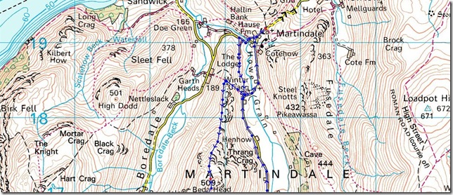
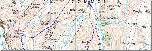
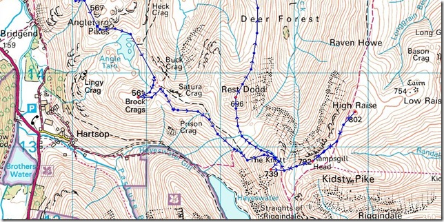
|
|
| |
|
Map and Photo Gallery |
|
|
 |
| |
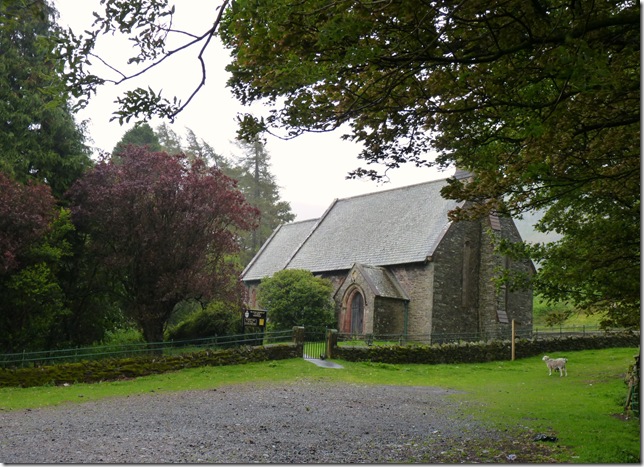
St Peters Church, Martindale circa 1880.
Although it doesn’t look it, it is raining here as I tried to seek shelter under the trees hence me cutting out the churches Bell Tower in this shot.. We saddled up in the car park right opposite, it was here we took our first soaking without setting first steps. I had a new pair of Salomon Quest GTX boots that Salomon UK had sent me due to the fact my old ones developed a tear in between the Sole & Uppers, although as cautious as I was about stepping into a brand new pair of boots on a rain soaked day such as this, the new boots felt just like stepping into my old ones. |
 |
| |
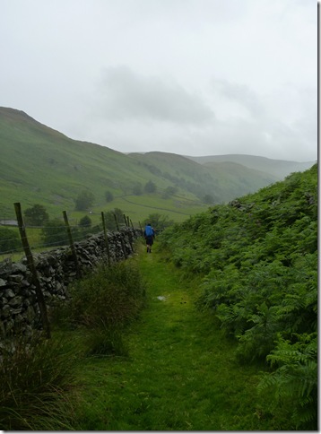
The rain persisted as we took up the flanks of Winter Crag. |
 |
| |
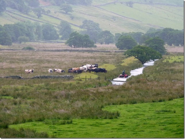
Howgrain Beck & Quad Bike.
We don’t know if this was an accident or not, but if did lift a small smirk on my face watching the quad trying to get out the swollen beck. |
 |
| |
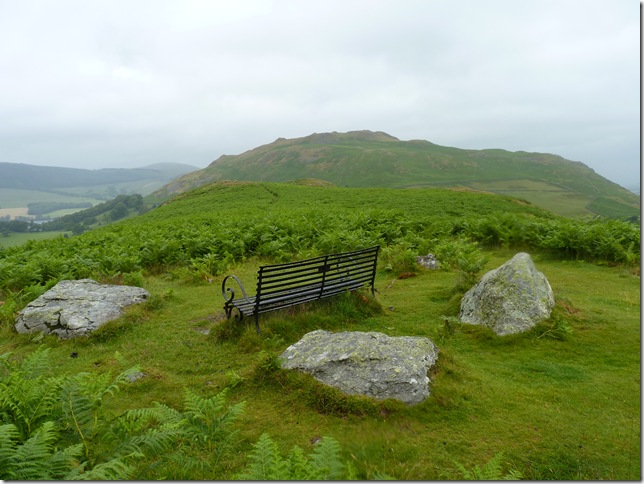
Looking back on Hallin Fell from the comforts of this memorial bench over looking a corner of Ullswater. |
 |
| |
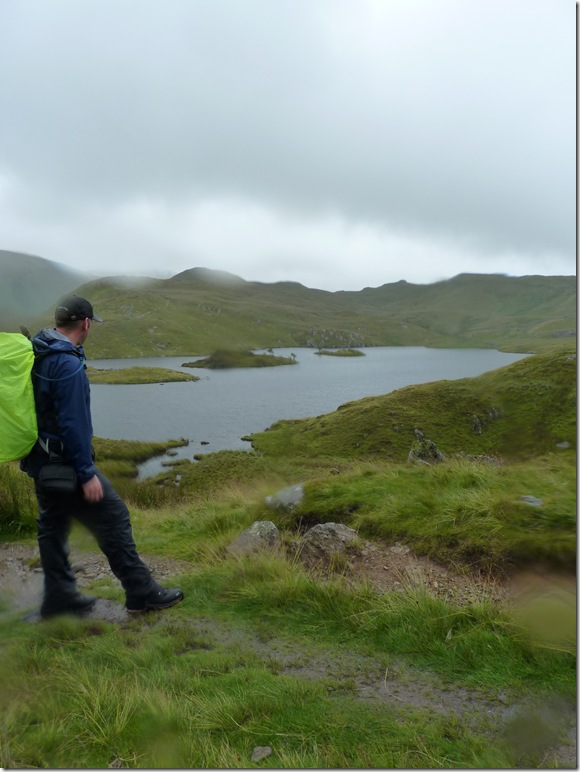
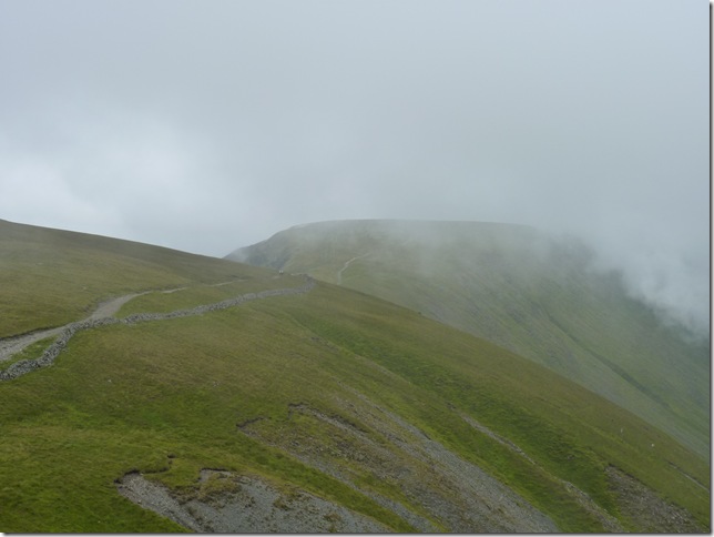
Looking back along the bracken’d ridge from Winter Crag, it was difficult to point the camera in any other direction other than west as this deemed the only direction the camera lenses didn’t get flooded with water, here we have Hallin Fell (R) Ullswater with Gowbarrow behind. |
 |
| |
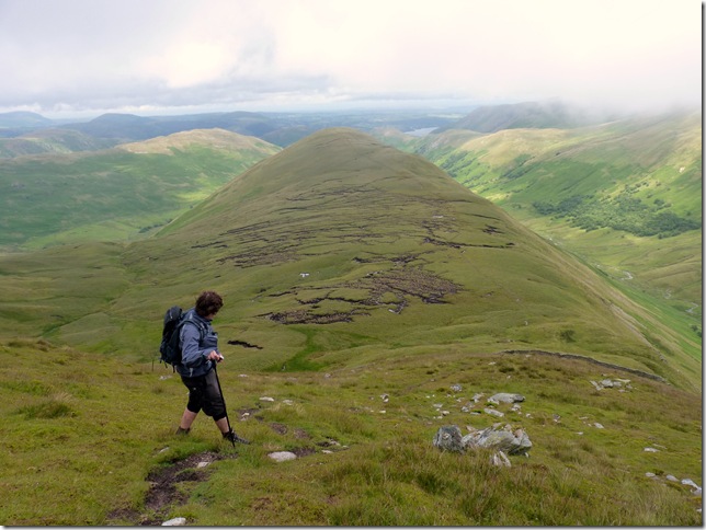
The Beda Fell ridge & summit bound. |
 |
| |
Beda Fell summit with Steel Fell (Pikawassa) behind, spirits were high although by now the two of us looked like drowned rats & the mention of ‘nothing is totally waterproof came to mind’ we squelched on along the ridge & followed the path down to Boredale Hause. |
 |
| |
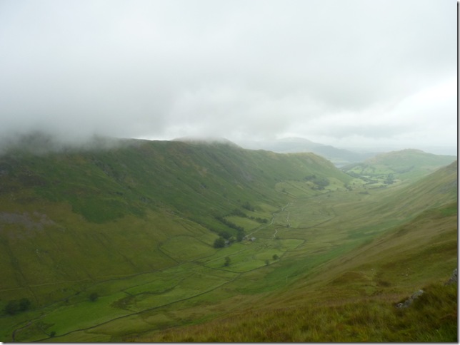
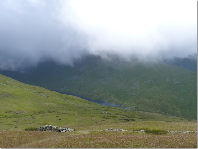
A cloud & rain soaked Boredale with Hallin Fell at its bottom reaches. |
 |
| |
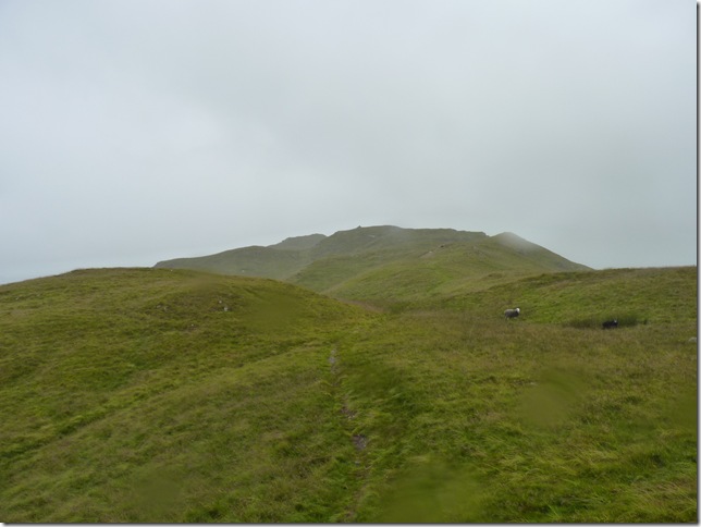
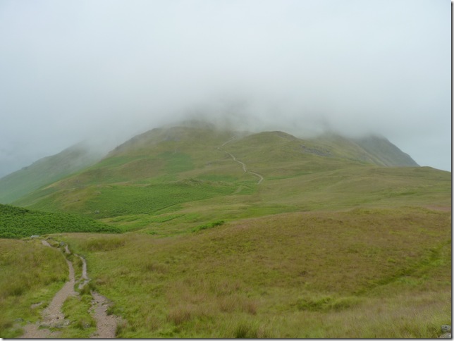
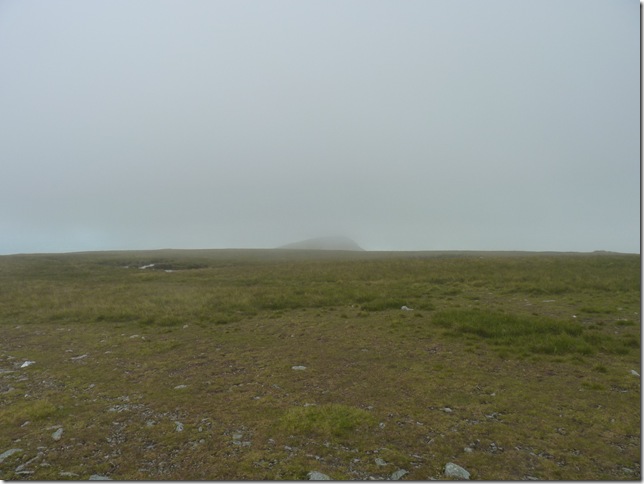
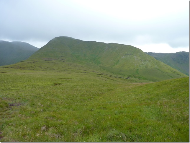
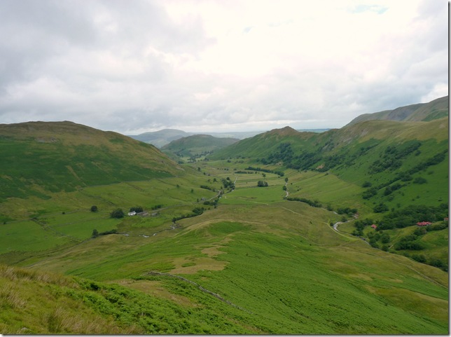
In better conditions this, our last would be fell of the day would dominate our views to the left & into the Martindale Valley. The Nab holds an altitude of 576 meters & this picture shows just how low the cloud is. |
 |
| |
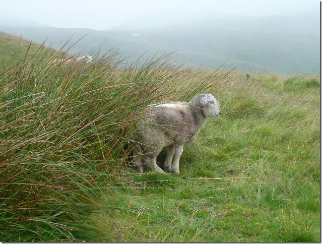
We know just how you feel… |
 |
| |
Descending down to Boredale Hause with Place Fell under cloud to the right, It would have made so much sense to go over the top of Headbeck Head & drop down to Angle Tarn but I do have my reasons for taking the detour & they will come apparent towards the latter of this year, plus this route towards Angle Tarn & its Pikes offers great views towards Dovedale & St Sunday Crag but sadly not as great as one thought, with limited views & squelching boots we soldier on towards Angle Tarn. |
 |
| |
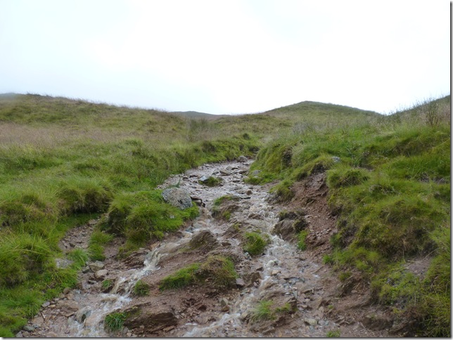
The path turning to stream bed all along the way. |
 |
| |
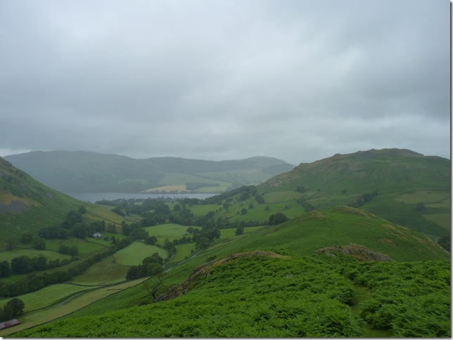
Brothers Water & Hartsop Above How. |
 |
| |
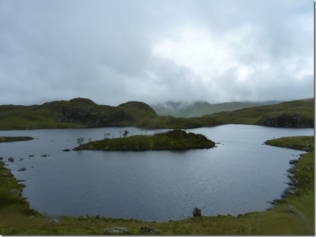
Angle Tarn, with our next summit behind, Brock Crags, the path around Angle Tarn was flooded so we took to high ground for much of its circumference. |
 |
| |
Looking back on Angle Tarn Pikes & Angle Tarn. |
 |
| |
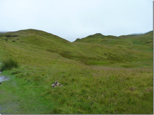
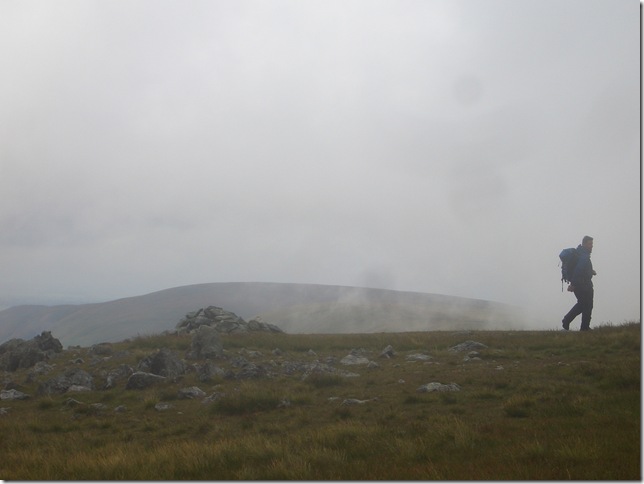
Leaving the path this small cairn marking the point for a right turn & Brock Crags summit. (C) |
 |
| |
Through the wall & a cloud topped Grey Crag (R) Hayeswater & The Knott (L) |
 |
| |
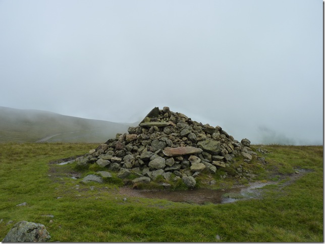
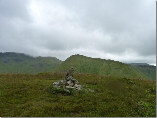
Brock Crags summit cairn. |
 |
| |
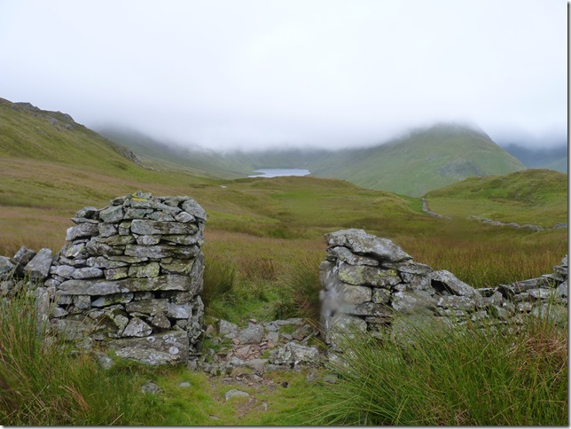
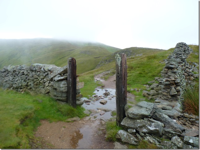
Still taking a soaking as we head through the landmark gatepost at Satura Crag, we’d just met a couple up from London walking the Coast to Coast in four separate segments, this the second segment of there tour from Grasmere to Bampton, they had travelled up from London the day before, we wished them well before we headed off for The Knott. |
 |
| |
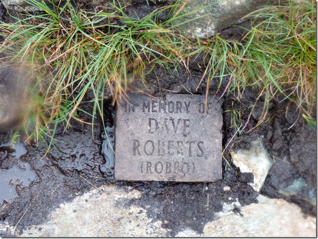
In Memory.. |
 |
| |
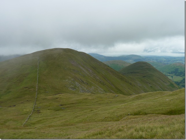
From our ascent of The Knott, the rain had cleared for a while leaving some swirling cloud cover, this gave us chance to spot our last two fells of the day Rest Dodd & The Nab before they disappeared again. |
 |
| |
The Knott summit cairn & time to take a rest & eat some lunch behind a stone wall & out of the wind & rain, it was here for the first time in my walking history I changed out of my drenched rain sodden socks, comically ringing them out to the delight of Tim & easing on a pair of dry clean socks, this of course was momentarily as my boot lining was still soaking, it was a good minute while it lasted.. |
 |
| |
Riggindale & High Street, this is a great path to take in High Street & Kidsty Pike, however we outflanked the shoulder of Kidsty Pike by following a faint grassy path directly coming off the summit Of The Knott. |
 |
| |
Kidsty Pike off to our right as we gain the top of Rampsgill Head. |
 |
| |
Rampsgill Head summit, from here on in we had a good hour of rain free walking, the wind gave my quick drying Montane Walking Trousers time to dry down..it wasn’t to last but nice while it did. |
 |
| |
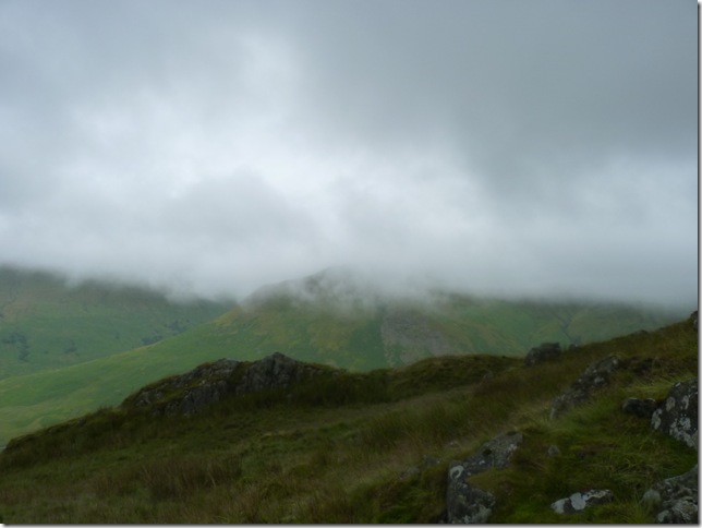
Heading off into the eerie cloud & High Raise bound. |
 |
| |
High Raise summit cairn & shelter, it was here that occurred another meeting with an American woman walking solo on the Coast to Coast, we both all reached the summit at the same time but she appeared to be walking away or past so to speak, as I took this summit shot I noticed she was walking towards me ‘is this Wether Hill?’ in her American accent pronouncing it ‘Weather Hill’ I smiled & replied no, you have already passed Wether Hill as she explained she had come from Pooley Bridge, She appeared very well educated so I didn’t presume any ill doing, just that she was very far away from home & a bloody good luck to her, I took out my GPS & pointed her in the direction of Kidsty Pike & High Street & off she went, I though to myself did I have the guts to be doing what she was doing so far from home & all alone, the memory quickly faded & I can only assume that that meant a no. |
 |
| |
| |
 |
| |
After leaving High Raise we re-traced our steps back down to The Knott & followed this stone wall all the way up to Rest Dodd’s summit, tired legs from lumping heavy rain soaked boots was beginning to set in & we spoke about this descent & ascent not ten minutes earlier before, feeling kind of troubled at this next pitch we in actual fact made both descent & ascent in under 35 minutes which we were both proud of. |
 |
| |
A brief glimpse of Hayeswater from Rest Dodd. |
 |
| |
Rest Dodd summit cairn & clearer views looking east…this wasn’t to last. |
 |
| |
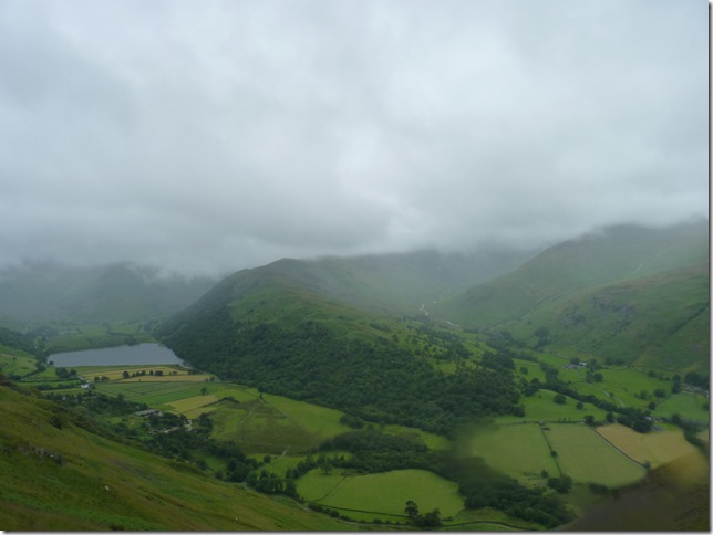
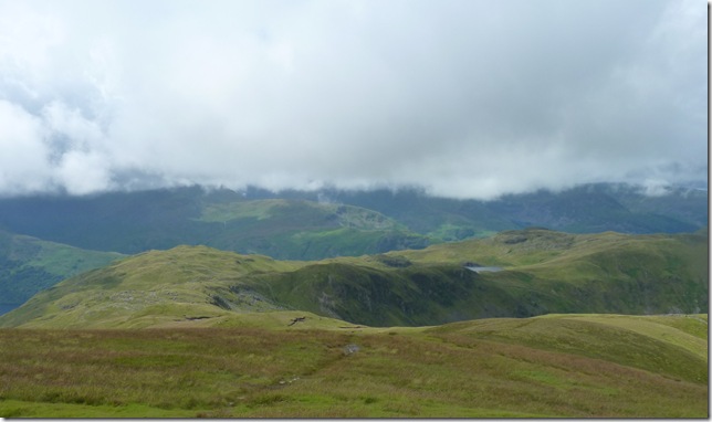
The sunshine appeared for now that is to be gracing parts of the Eastern fells, here views towards Brock Crags (L) the head of Bannerdale & the Angle Tarn Pikes (R) |
 |
| |
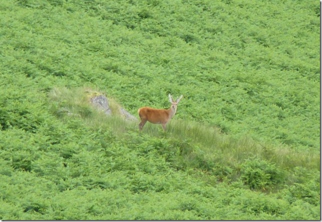
Descending Rest Dodd for the Deer Bields of The Nab, the wild deer appeared on our flanks both in Bannerdale & the Martindale valleys, some much too far away for photography but we saw them & they saw us. |
 |
| |
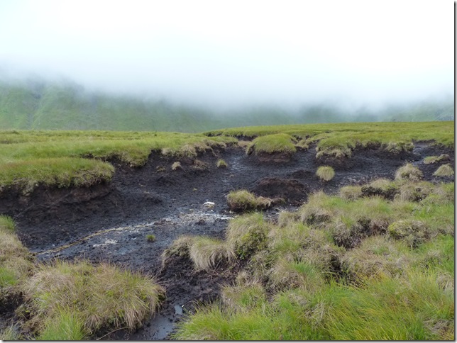
The peat ditches of The Nab can only be described as troublesome & somewhat difficult to negotiate at times, taking long detours was the only way to get around them. |
 |
| |
Looking back at the southern flanks of Rest Dodd. |
 |
| |
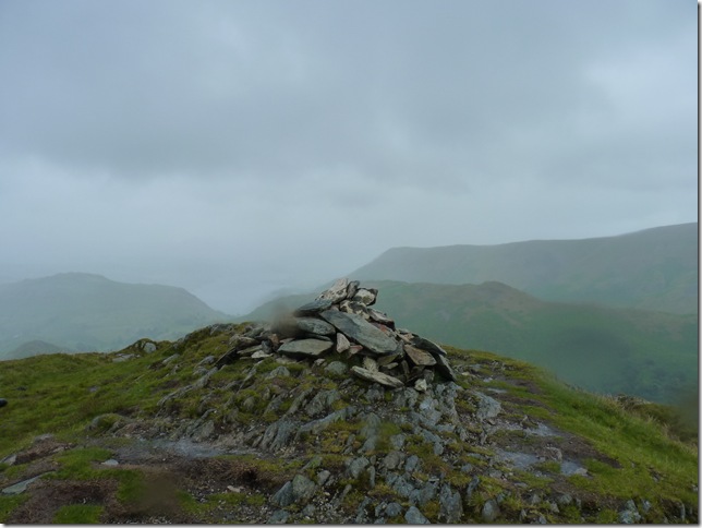
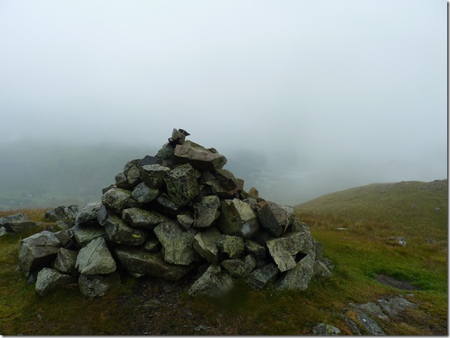
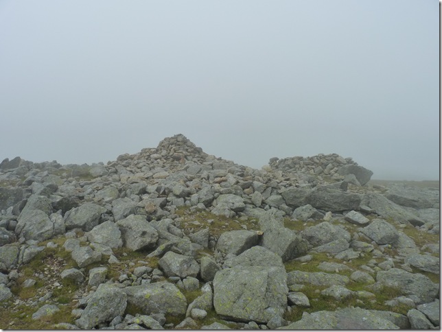
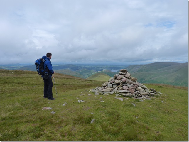
The splendid summit cairn of The Nab with two fells conquered in the background Rampsgill Head (L) & Rest Dodd (R) |
 |
| |
Bannerdale Head & the twin pikes Of Angle Tarn Pikes. |
 |
| |
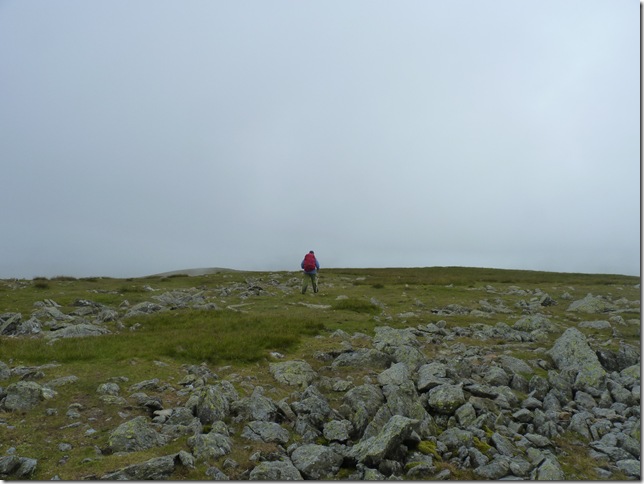
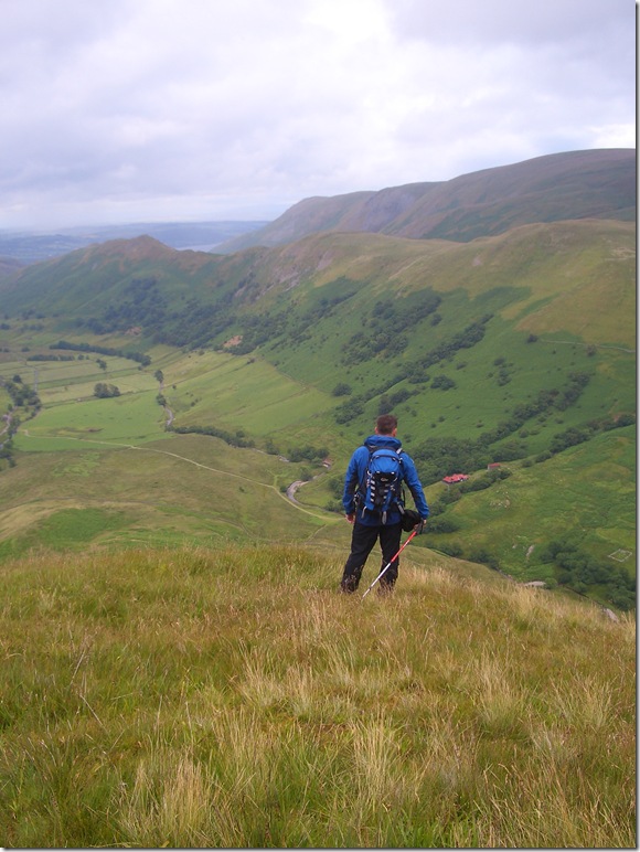
Contemplating my route down. |
 |
| |
Leaving The Nab & heading down into the Bannerdale valley, it was a pretty difficult descent from the summit, Tim took a faint path flanking the ‘nose’ of The Nab, me I went for a zig-zag descent through the long grassy slopes & heather patches, we both met up at the stone wall you see in the foreground, Hallin Fell is the small fell you see at the head of the valley a whole 2.6 miles away. |
 |
| |
Wild Deer were spotted in just about every direction you looked in. |
 |
| |
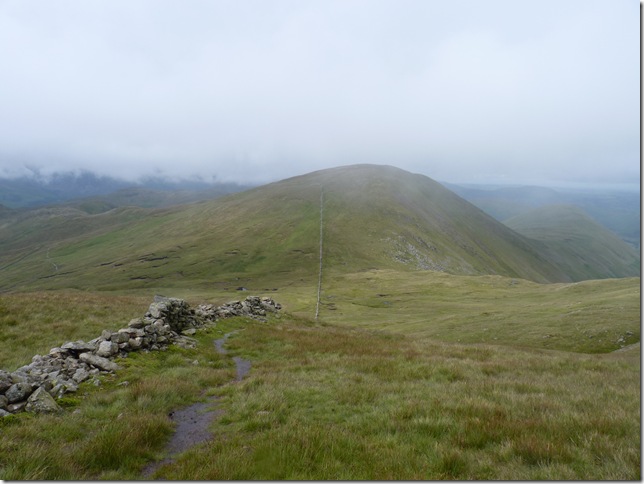
The Nab from Dale Head.
It wasn’t long before the rain was back & our once dry clothes were taking a soaking not a couple of miles walk back to the car, this time I let it rain on me, not bothering with my hat, hood or anything,we both had been through a battering from the rain clouds so getting wet one last time didn’t really matter |
 |
| |
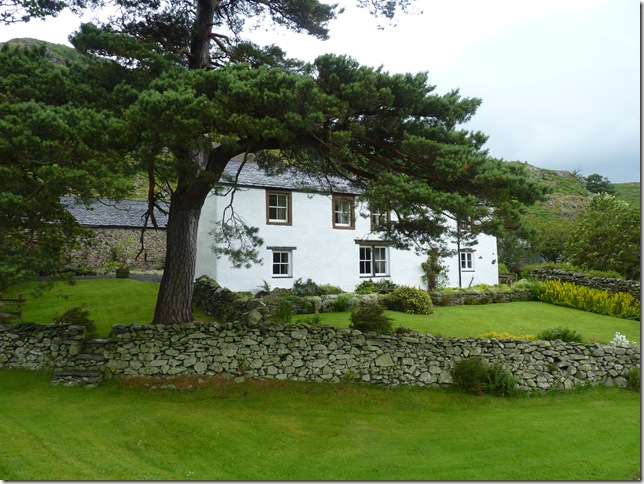
Winter Crag B&B.
Now dripping in wet sodden clothing we squelch back to the car, the next few moments were for me thinking that this was probably the first time I had gone out to intentionally walk in the rain all because my love for walking in Lakeland had somewhat over powered my otherwise street wise mind… sometimes you just have to do what your bloody heart tells you.
And sometimes you must always remember to pack a dry towel in the boot of your car, D’oh! |
|
| |
| Back to top |
 |
|