|
The kentmere Horseshoe |
 |
 |
6th March 2011 |
 |
|
Peak bagging is not a word usually associated with me, its not a word I’m that fond of, the fells are there to be enjoyed, trampled & occasionally lose your way on! yet not counted, they are not a number, yes that sounds ironic from a guy notching up his Wainwrights but if that is what I do then my only aim is to follow the great mans footsteps myself.
However the Kentmere Horseshoe probably falls in that category of a peak baggers dream, nine Wainwrights can be gained from a single days walking covering a little under fourteen miles, yes this is an arduous days trekking but the benefits are more than worth it once the ridges are gained, with views opening up to discover Lakes Tarns & Ridge walking a plenty I now ask myself why did I put this classic Lakeland round off for so long.
Today, the day I have waited so long to complete The Kentmere Horseshoe I find myself nursing a slight chest infection, I could have chosen to do a lesser walk & maybe something not as strenous but the determination & pure giddiness prevailed & overtook my niggling chest complaint, I say niggling, it did get much worse as I feared it would, but at my own pace & the odd extra rest stop(in rest stop I mean wheezing trying to regain conciseness on all fours!) a mere 8 hours later & in glorious sunshine this classic of walks was complete. |
|
Wainwright Guidebook |
 |
| The Far Eastern Fells |
One should always have a definite objective, In a walk as In life, It is so much more satisfying than to reach a target by personal effort than to wonder aimlessly, an objective is an ambition, and life with out ambition is.. well, is aimless wondering. |
 |
|
| |
|
Overview |
|
|
| Ascent: |
4,040 |
| Wainwrights: |
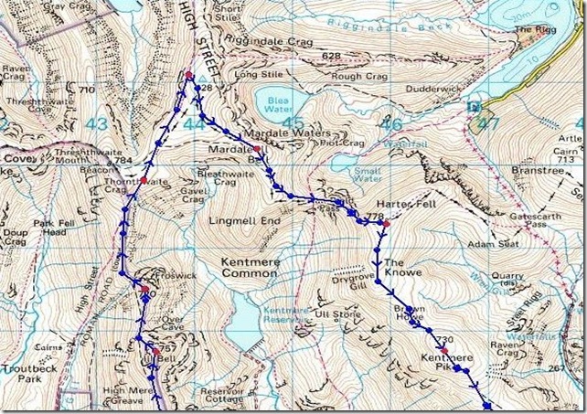
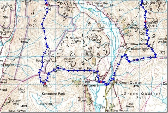
10, Sallows, Yoke, III Bell, Froswick, Thornthwaite Crag, High Street, Mardale III Bell, Harter Fell (Mardale), Kentmere Pike & Shipman Knotts |
| Weather: |
Overcast To Start With Getting Brighter Throughout The Day, Warm & Sunny For The Afternoon, Light Gust, Highs Of 11° Lows Of 3° |
| Parking: |
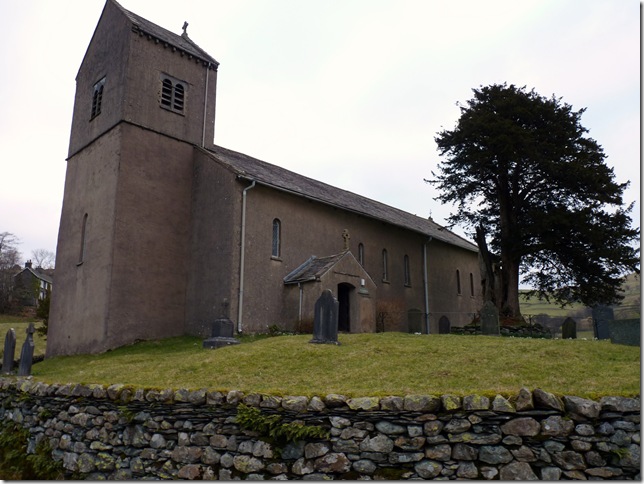
Roadside Parking, Kentmere Church, Kentmere Village |
| Area: |
Far Eastern |
| Miles: |
13.9 |
| Walking With: |
On my own |
| Ordnance Survey: |
OL7 & OL5 |
| Time Taken: |
|
| Route: |
|
|
| |
|
Map and Photo Gallery |
|
|
 |
| |
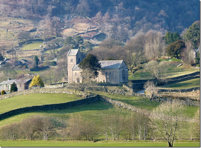
St Cuthbert’s Church circa 1866
Getting here early is always an advantage when starting this route (07.30) which meant I had first choice at the strictly limited parking spaces available at the side of the church (roughly room for 4/5 medium size cars). as I kitted up another car pulled along side mine & a couple started to kit up also, we swapped pleasantry ‘Good Mornings’ & I was soon on my way. |
 |
| |
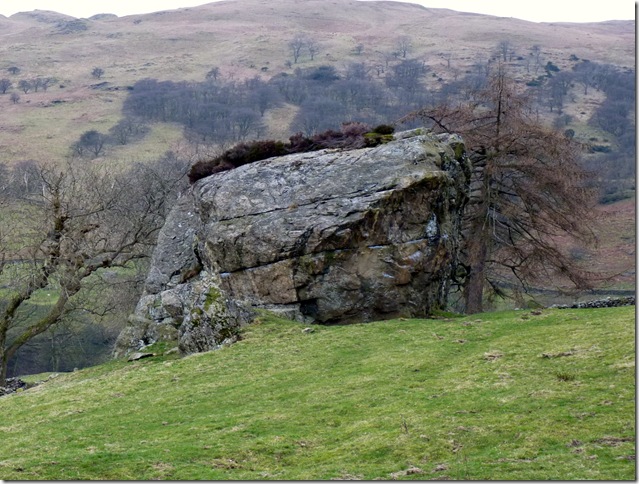
From Crabtree Brow & the start of the walk eyes are averted to this huge boulder to the left of the path claimed as ‘Badger Rock’ a large free-standing rhyolite boulder. It is one of many challenges popular with climbers. |
 |
| |
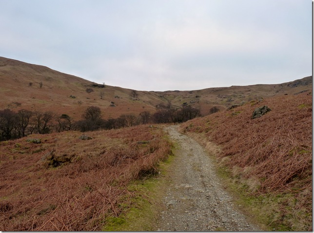
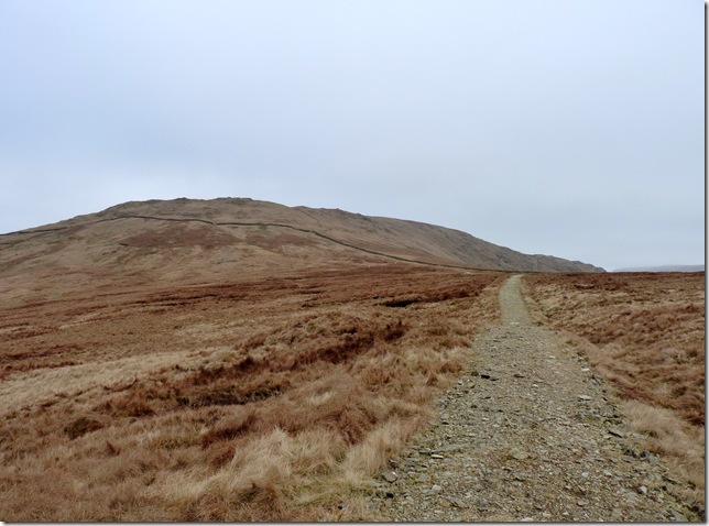
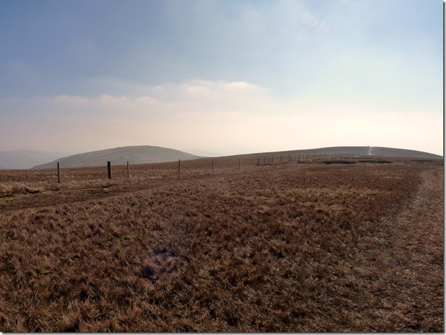
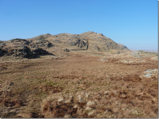
Garburn Pass, this path is often described as ‘motorway like’ as its popularity with the Kentmere Horseshoe would claim but today I had it all to myself except the sheep that is. My route as I gained the top of the pass would take me left & towards ‘Sallows’ bound, a not so popular Wainwright by all accounts but a Wainwright to be trod non the so, gaining the summit was a short grassy climb to a cairn less summit. |
 |
| |
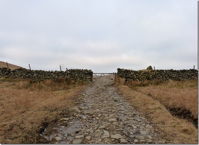
Left at the gate Paul. |
 |
| |
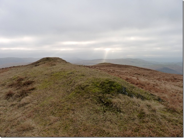
Sallows summit, in the time taken to get to the summit I knew my pace was way off mark, my legs were asking my lungs what the hell was on as they just couldn’t co ordinate together, I just needed to control the breathing & what came to the rescue? a bag of Jakemans Menthol Sweets did the trick, forget your Lockets & Smoothers, a bag a Jakemans is the real deal & helped me along a treat. |
 |
| |
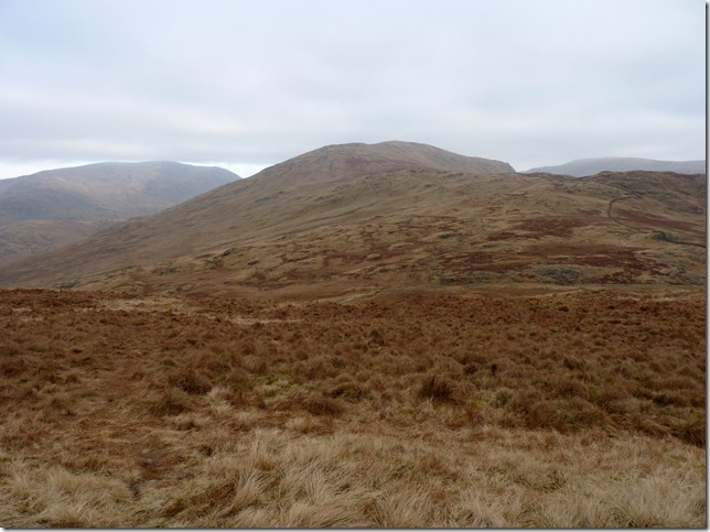
Yoke from my descent from Sallows. |
 |
| |
The Garburn Pass leading up to Yoke, motorway like? yes, very much & very pleasant. |
 |
| |
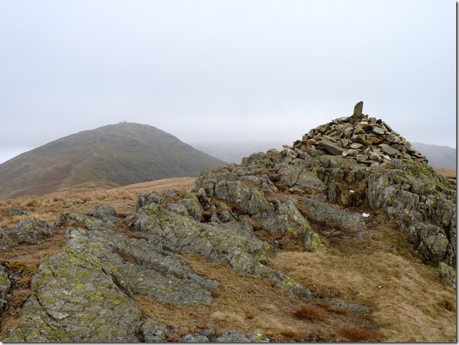
Yoke summit, with the distinctive three cairn summit of III Bell in the back ground, I could see the weather was changing at this point, chinks of bright blue sky appearing & then disappearing looked promising. |
 |
| |
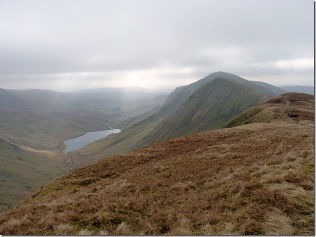
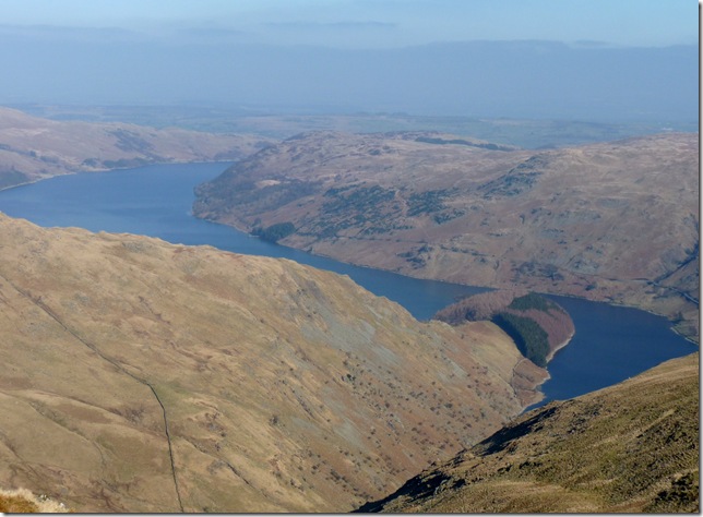
Kentmere Reservoir & Lingmell End.
Kentmere has at times completely disappeared into marshland & in 1840 it was purposely drained to provide reclaimed farmland, but in the past 100 years the ‘mere’ has reappeared again, it is currently 1 mile in length. An archaeological excavation there uncovered an ‘extended’ log boat dating to 1300 AD. |
 |
| |
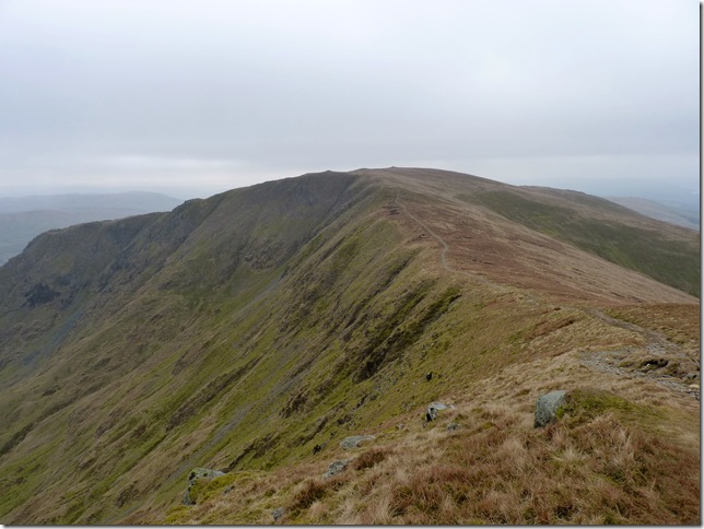
Looking back on the ridge towards Yoke summit & Star Crag. |
 |
| |
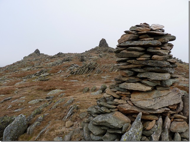
The three distinctive cairns found on III Bell summit. |
 |
| |
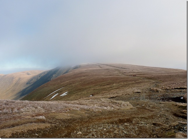
Low cloud looming over Threshthwaite Mouth as I gain the ridge in between III Bell & Froswick. |
 |
| |
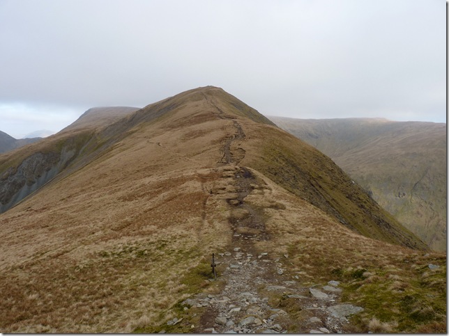
More ascent is needed as I now head for Froswick, this is classic Lakeland ridge walking at its best for me. |
 |
| |
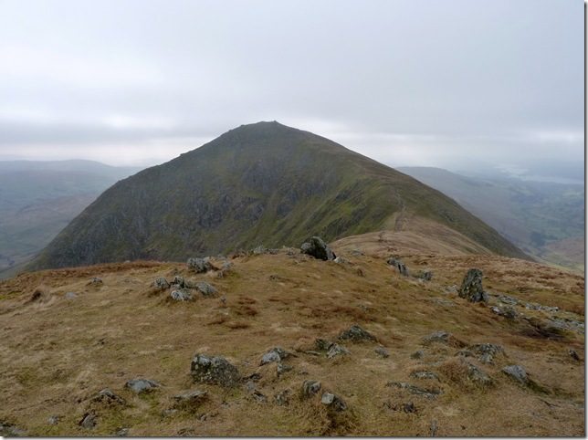
Thorthwaite Crag from Froswick summit. |
 |
| |
Hall Cove & Lingmoor End. |
 |
| |
Looking back at Froswick as I now head for my 5th summit of the day ‘Thornthwaite Crag’ |
 |
| |
Troutbeck & The Tongue. |
 |
| |
The weather looks like its clearing up just now, to the left of the picture is a glimpse of Red Screes with the Kirkstone Pass separating the two fells, ahead my ridge route to Thorthwaite Crag. |
 |
| |
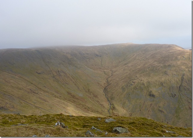
The three distinctive silhouettes of Froswick, III Bell & Yoke with the humble beginnings of the River Kent feeding Kentmere Reservoir. |
 |
| |
Thorthwaite Beacon & time to don the hat & gloves. |
 |
| |
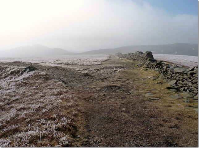
Retracing the Roman Road as I head for High Street. |
 |
| |
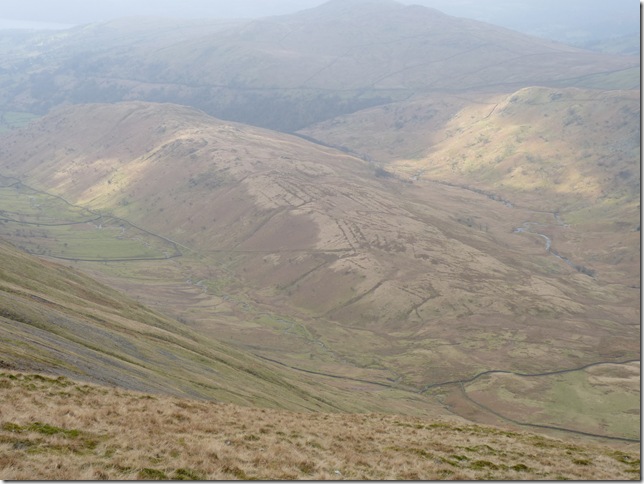
Views opening up towards Gray Crag on the left, Hayeswater, The Knott & Rest Dodd. |
 |
| |
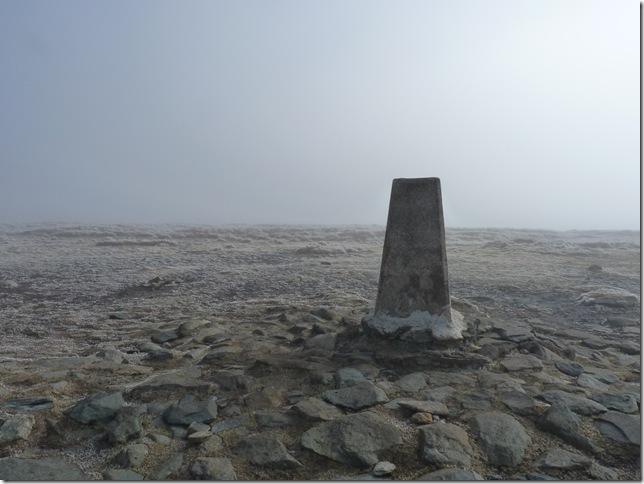
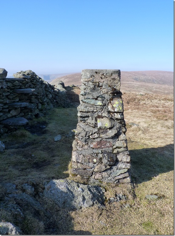
High Street summit Trig Point. |
 |
| |
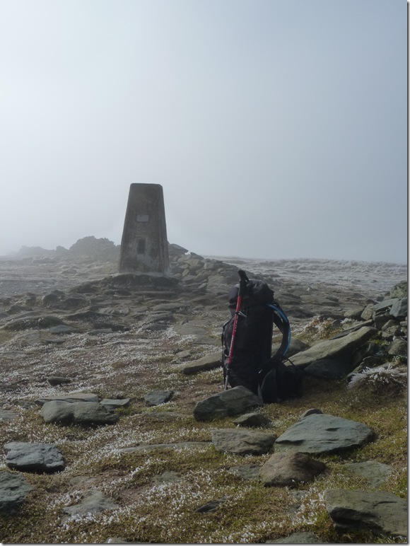
And time to get the coffee out & Tracker Bar. |
 |
| |
As I retraced my steps back along the ancient Roman Road I was reminded of my first summit of High Street & the time me & my mate missed this small cairn seen here on the left & our route down to Small Water, the snow was deep & like kids we were mucking around, we happily continued almost to within reach of Froswick, realising our mistake we coy-lessly re traced our steps, a scary moment in time for the young Paul. Here I added a few more stones to the cairn grinning about the old times. |
 |
| |
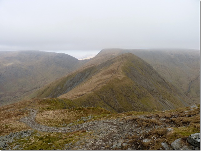
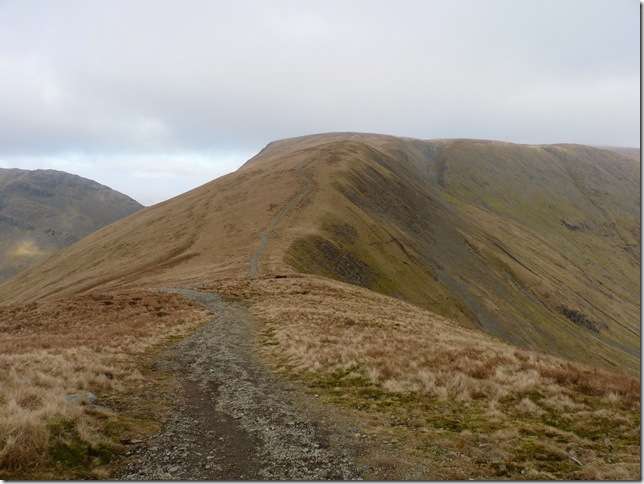
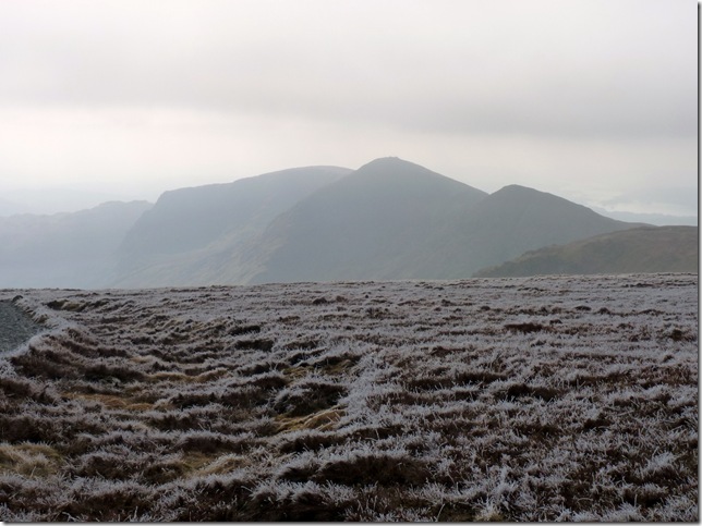
Yoke, III Bell & Froswick, And as Wainwright described ‘like the knuckles of a clenched fist’ |
 |
| |
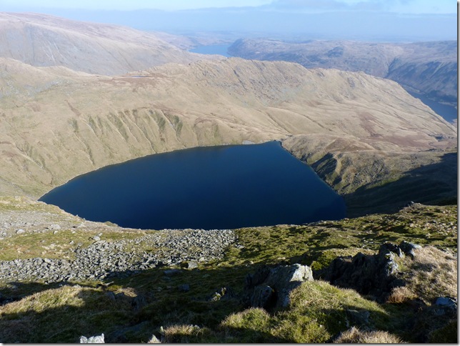
Blea Water (Lakelands deepest Tarn at 200 feet) And High Streets Rough Crag, If you look carefully you might be able to spot a glimpse of Caspel Gate Tarn on top of the ridge. |
 |
| |
Mardale III Bell summit with High Streets High Stile ridge in the back ground. |
 |
| |
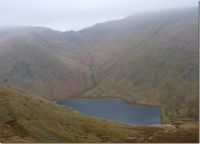
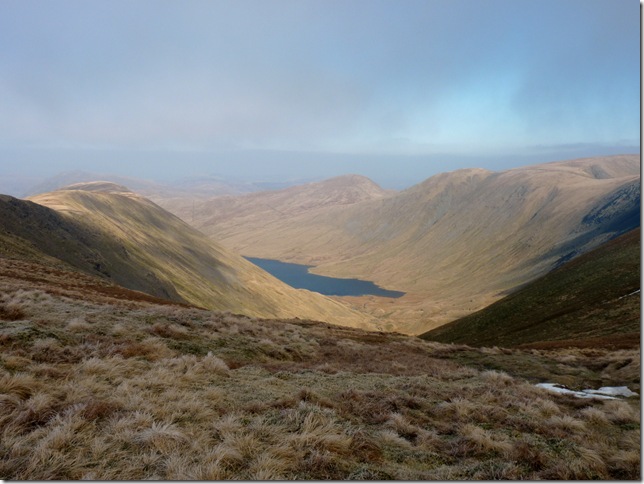
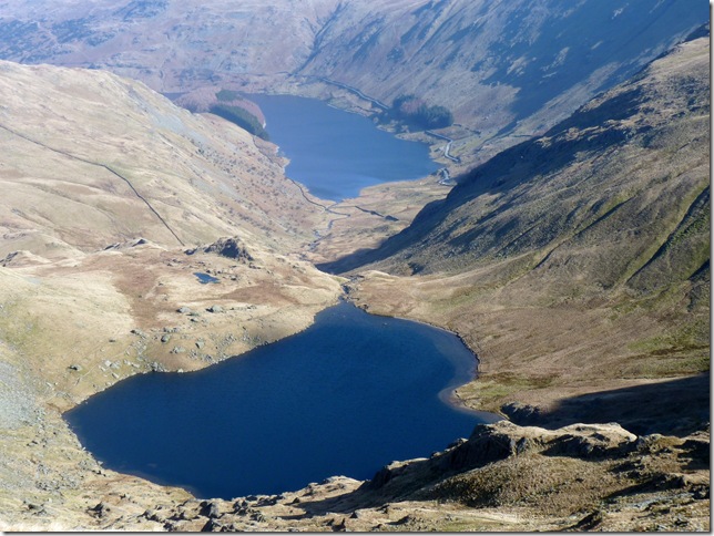
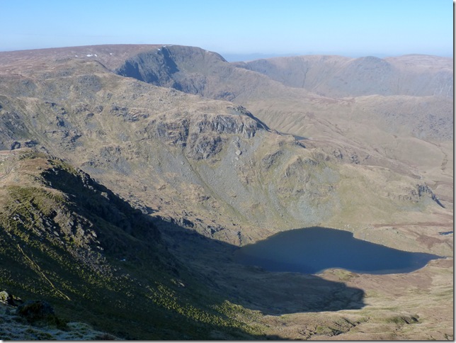
Views over looking Small Water, Haweswater & The Rigg. |
 |
| |
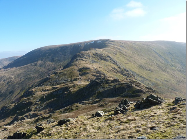
Ahead, the Nan Bield Pass & Harter Fell. |
 |
| |
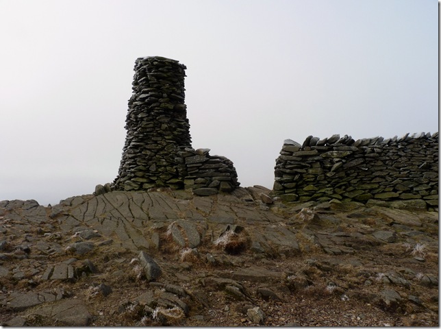
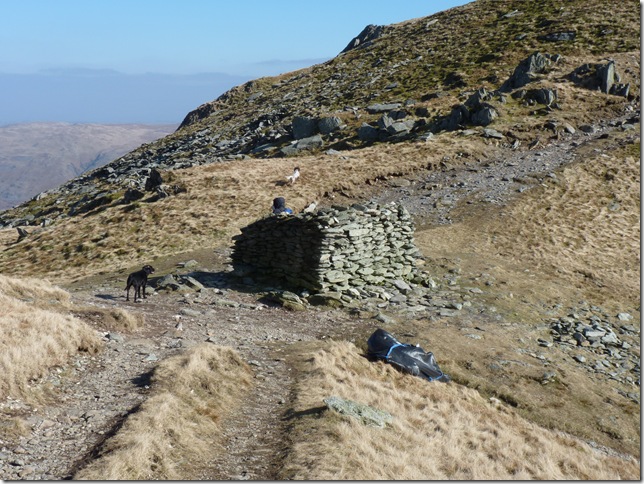
The box shelter found at the top of Nan Bield Pass. |
 |
| |
Haweswater, Swine Crag, Heron Crag, Eagle Crag & The Rigg. |
 |
| |
High Street, Kidsty Pike far right & Small Water. |
 |
| |
Beautiful skies over Harter Fell summit. |
 |
| |
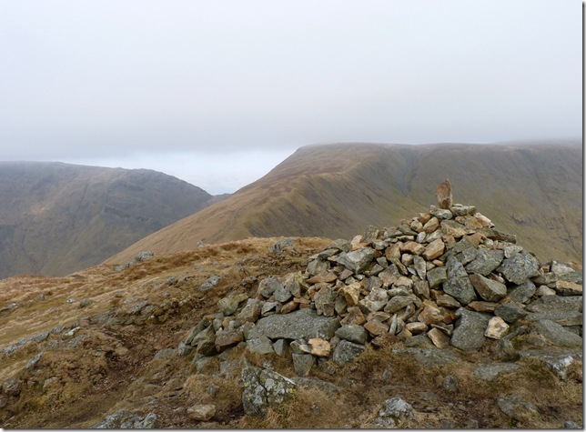
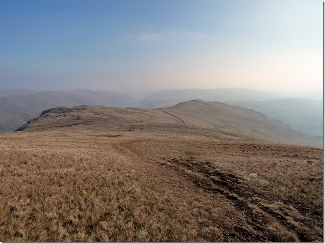
Kentmere Pike to the left & time to give my aching limbs a rest on the grassy slopes of The Knowe & Brown How. |
 |
| |
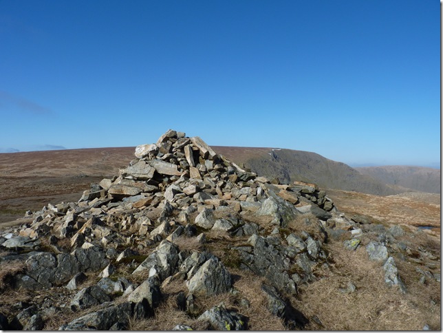
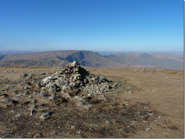
Kentmere Pike summit trig point & time for another rest, at this point I have all the hard work behind me & the tight chest whilst forgotten about amongst the higher slopes has rehearsed itself. Its time for another rest here Paul (I mean its not like I’ve not got the views!) |
 |
| |
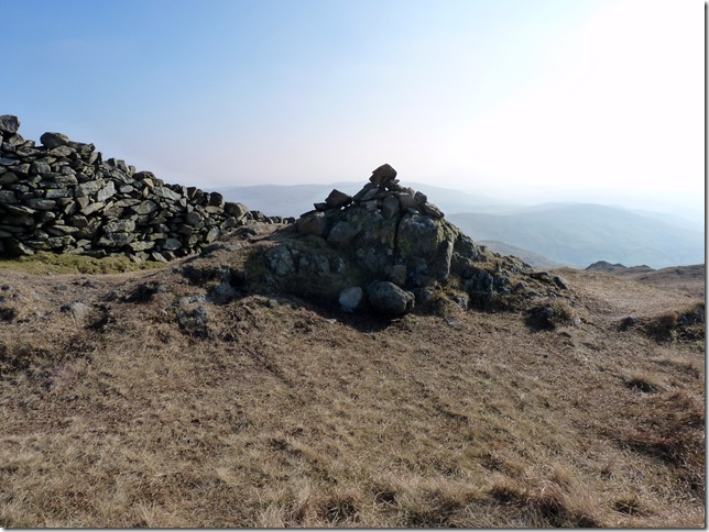
Soldiering on towards Shipman Knotts, my 10th & last summit of the day, here I made my way across the marshland towards the stone wall in between Goat Scar (L) & Shipman Knotts (R) |
 |
| |
Shipman Knotts summit cairn, throughout the whole day I only crossed about six walkers & three of them, a father his wife & son were on this summit, they asked would I mind If take a picture of all three of them with the backdrop of Yoke, III Bell & Frsowick behind, I happily agreed, they told me they’d ascended from Longsleddale & before I had chance to tell them where I had been they were on there way, charming! |
 |
| |
Looking back at Shipman Knotts. |
 |
| |
The Kentmere Horseshoe (almost) |
 |
| |
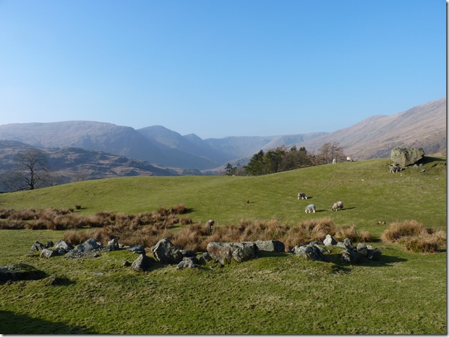
And a mere 1.5 miles back to Kentmere.
This, a village I had visited for the first time and almost lost in time, & hopefully will remain that way, I’m happy at the fact that the village can only boast parking for such a small limit of cars for this is a hamlet of un-proportional beauty & to provide the backdrop for such excursions as I did today will remain with me for a very long time to come. |
|
| |
| Back to top |
 |
|