|
Ullscarf And Armboth Fell |
 |
 |
12th December 2010 |
 |
|
I needed a pick me up from last weekend & duly I had in my head to re-do Dollywagon Pike this weekend but maybe from another angle, Swirls maybe or Dunmail Raise? I’ve hit these Fells with my boots like never before, but that was until I’d read the mixed weather reports & I didn’t want to take any chances on these giants so like the popular saying goes ‘Mountains don’t move’ I put Dollywagon on the back burner for maybe a January blue sky day.
Ullscarth for me has been just that ‘on the back burner’ in no uncertain means is this a lesser challenge than any other peak above 700 Meters, my one ideal challenge for Ullscarth was to be from Dob Gill & take in Harrop Tarn & a simple return back to Wythburn, the route I’d chose can be problematic at times in terms of navigation, with frozen moss & no real path’s to follow it was at times a case of make your own way which is just what I did, this can be difficult if not confident but confidence grows with experience & I found myself ‘giddy’ at blazing my own trail, not all the time but some.
Which made today the exact pick me up that I needed. |
|
Wainwright Guidebook |
 |
| The Central Fells |
|
 |
|
| |
|
Overview |
|
|
| Ascent: |
2,381 Ft, 726 Mtrs |
| Wainwrights: |
2, Armboth Fell & Ullscarth |
| Weather: |
A overcast day with a good amount of sunshine, low winds, Highs of 4° Lows of -2 ° |
| Parking: |
Armboth Car Park |
| Area: |
Central |
| Miles: |
9.4 |
| Walking With: |
On my own |
| Ordnance Survey: |
OL4 |
| Time Taken: |
|
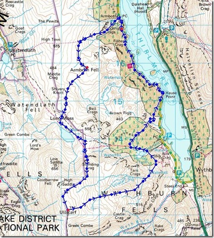
| Route: |
|
|
| |
|
Map and Photo Gallery |
|
|
 |
| |
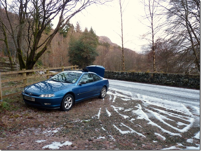
I found myself parking the car roadside as Armboth CP was closed, it wasn’t until I walked passed & discovered the car park has quite a steep entrance & of course it had iced up. |
 |
| |
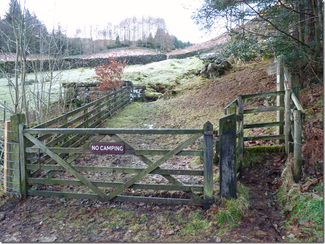
It wasn’t any inconvenience not parking on the car park, after a short walk It was left through the gate sign posted Watendlath. |
 |
| |
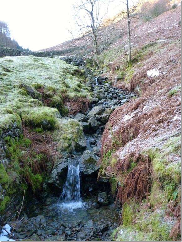
Crossing Middlesteads Gill. |
 |
| |
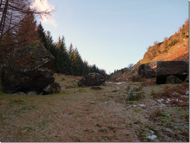
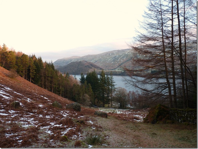
The path flanks the Fishercrag Plantation not before passing these huge boulders. |
 |
| |
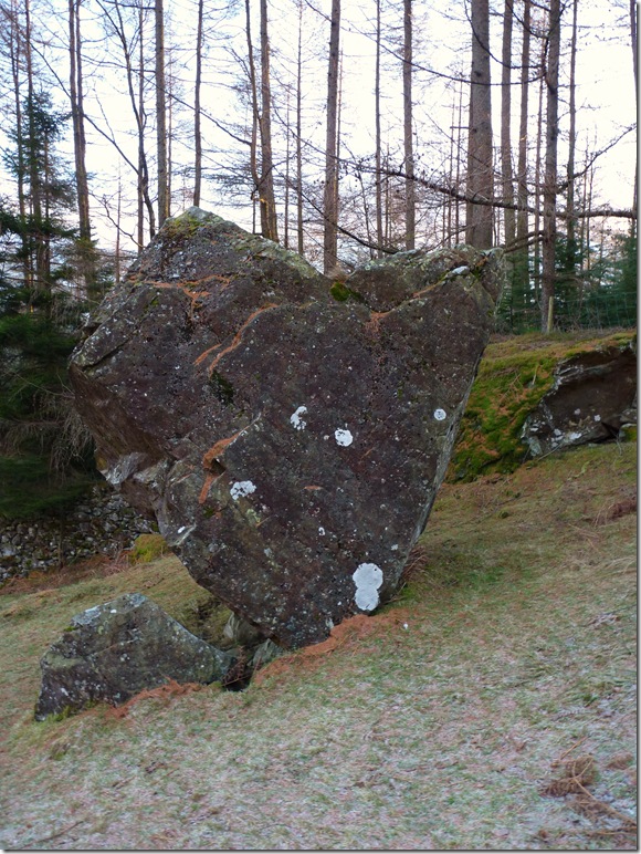
A few hundred thousand years ago this boulder was left by an ice field, but can someone please tell me how is that still vertical! |
 |
| |
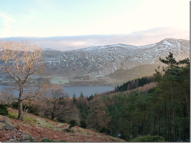
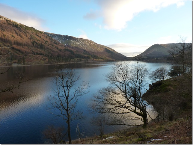
Looking back at Thirlmere & Great How. |
 |
| |
And in the same direction the Dodds. |
 |
| |
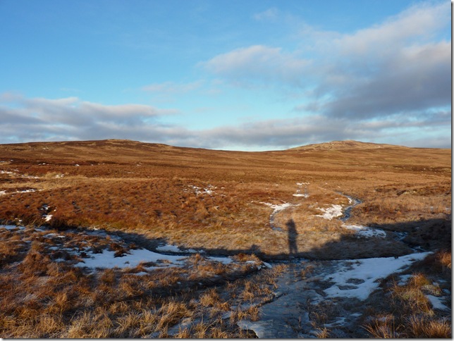
Long shadows looking towards High Seat & High Tove. |
 |
| |
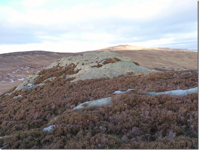
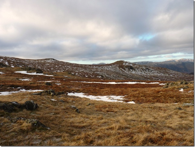
Making my way over the frozen moss towards Armboth Fell, I would imagine come April time a pair of wellies wouldn’t look to out of place here! |
 |
| |
Armboth Fell Summit. |
 |
| |
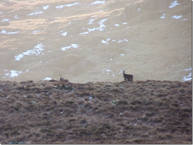
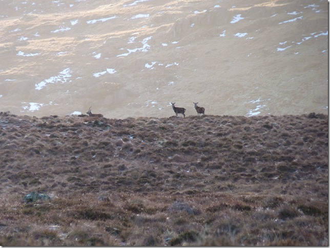
Blessed again with sights of wild deer, I’ve got x12 zoom on here & stood deadly still, they obviously heard or saw me first but they were more than happy to gaze at me a while. |
 |
| |
The beautiful hamlet of Watendlath & Watendlath Tarn. |
 |
| |
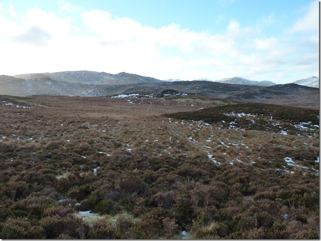
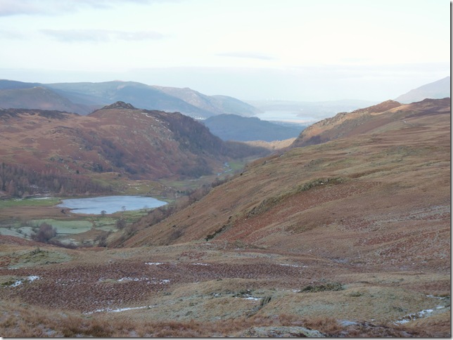
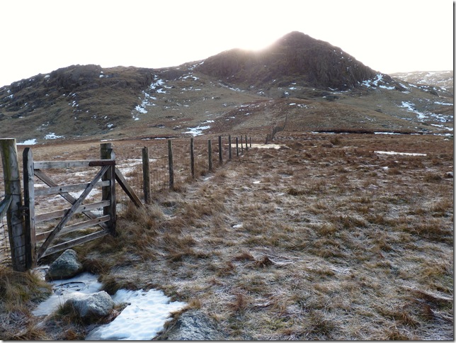
A solitary looking Blea Tarn, the highest point on the skyline is my next destination ‘Standing Crags’ |
 |
| |
Standing Crags ahead, the gate to the left of the picture will eventually lead you back down to Harrop Tarn. |
 |
| |
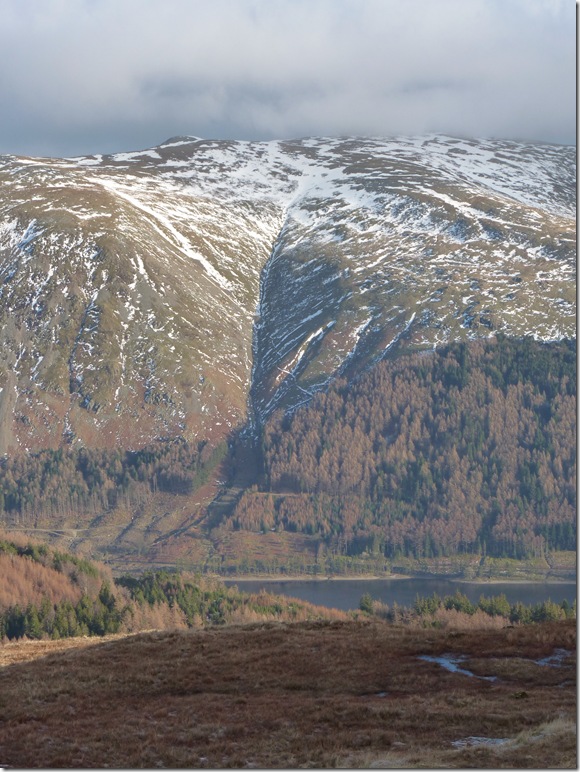
A close up of Miners Gill, Helvellyn from Standing Crags. |
 |
| |
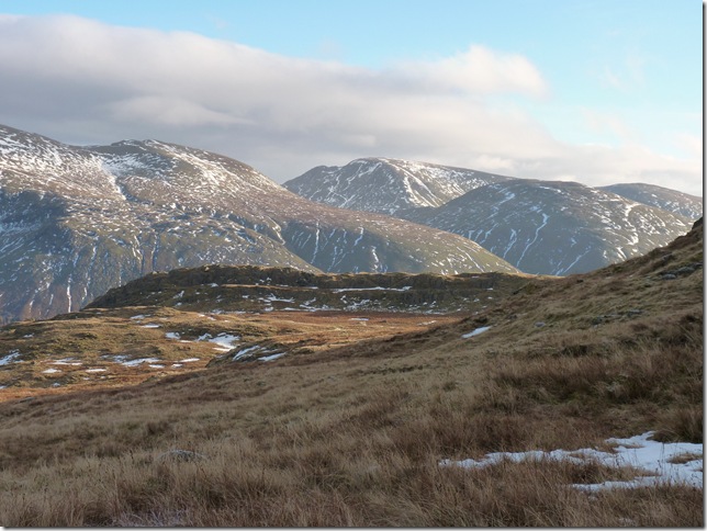
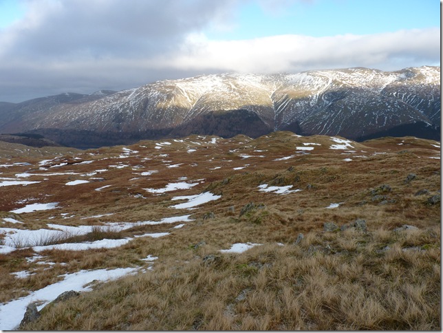
LtoR Dollywagon Pike, Seat Sandal & Fairfiled & Cova Pike, hidden in between the col is Grisdale Tarn. |
 |
| |
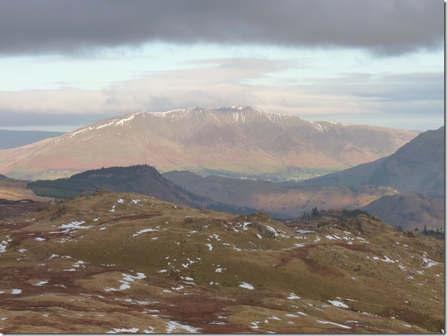
Blencathra under menacing dark cloud. |
 |
| |
High Saddle & Low Saddle. |
 |
| |
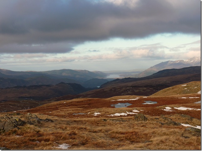
Views down to Bassenthwaite. |
 |
| |
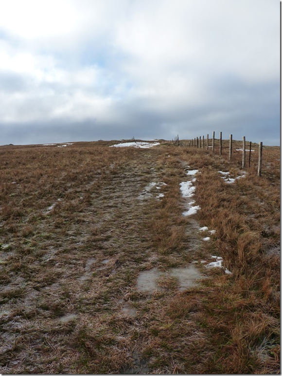
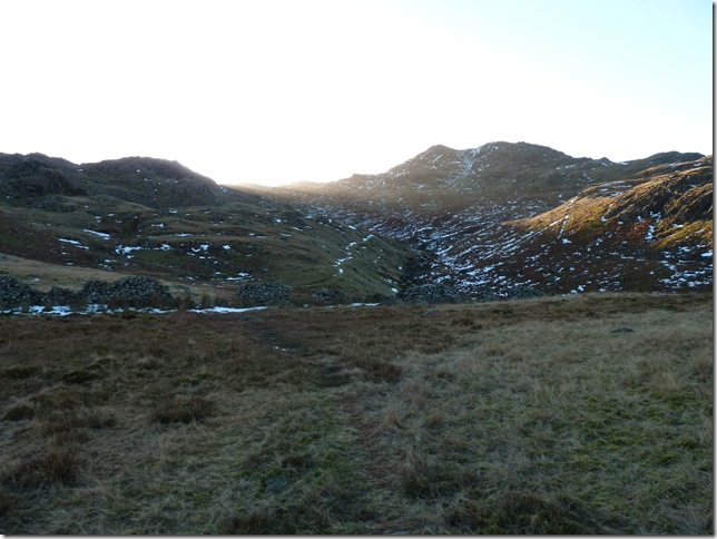
It’s basically a case of following the fence all the way to the summit, to be honest I half expected a lot more snow going off weather reports I’d seen, the ground under foot was at times was challenging all though it doesn’t look it, more than once my foot broke the ice on sections of the path, other sections like this were great infact in between Standing Crag & Ullscarth wqs probably my favourite part of the walk. |
 |
| |
Black & White. |
 |
| |
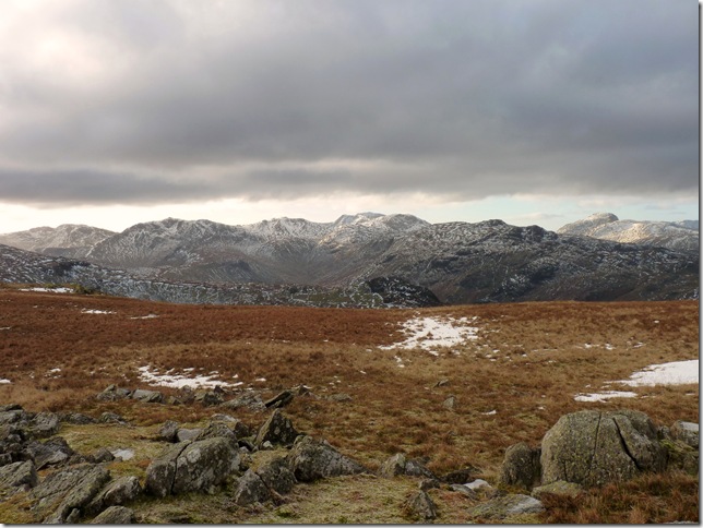
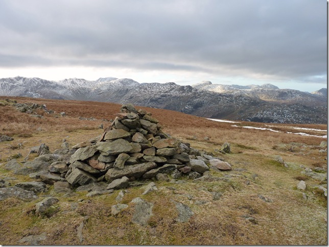
Ullscarth summit, there’s a whole host of the Southern Fells in this picture & I’ll have a go at naming them all, LtoR is Bow Fell, Esk Pike, The Scafells, Great End, Alan Crags, Glaramara, Green Gable, Great Gable & Pillar, & best of all I can say I climbed them all. |
 |
| |
After leaving Ullscarth summit I had two choices, one was to make my way on to Green Up Edge & make my way down to Wythburn or this choice, trail blaze my own route,. in any other conditions I wouldn’t of attempted this but it was a fantastic way of the fell, at points I did pick up paths be it sheep paths or ‘human’ but they were soon lost under patches of snow, as I’m familiar(ish) with the area I found this part kid like fun & for anyone following me ..don’t ha! |
 |
| |
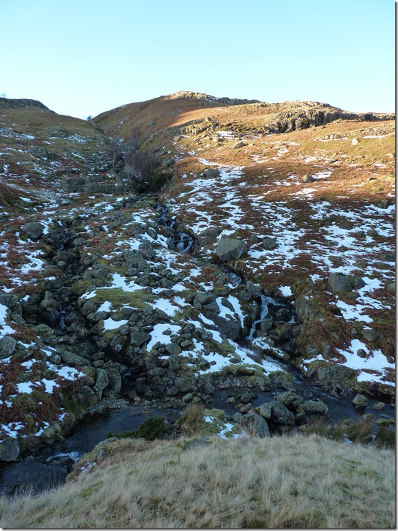
Ullscarth Gill. |
 |
| |
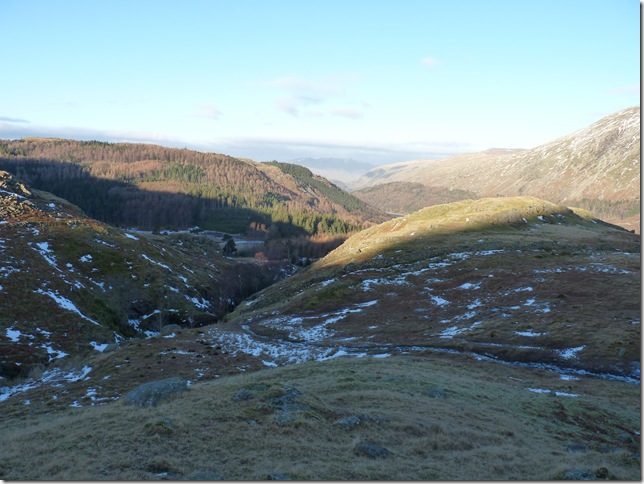
Views down towards a frozen Harrop Tarn, my path veers around the Crag to the right. |
 |
| |
Looking back up my route towards Black Knott. |
 |
| |
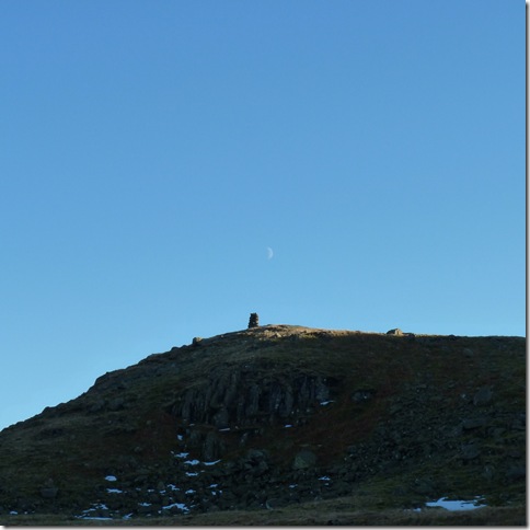
Looking over to ‘The Beacon’ aptly named on the Ordnance Survey maps, in fact this isn’t a beacon it forms part of what once was a wall, all you see is what’s left of the wall. |
 |
| |
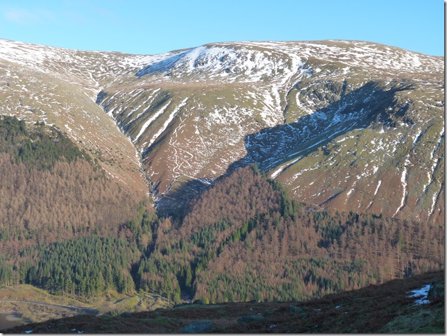
Dollywagon Pike from my descent. |
 |
| |
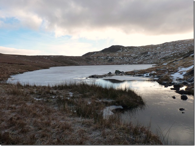
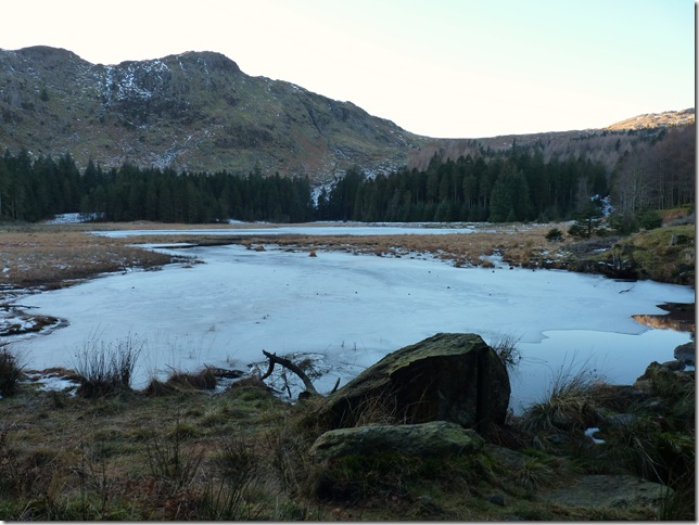
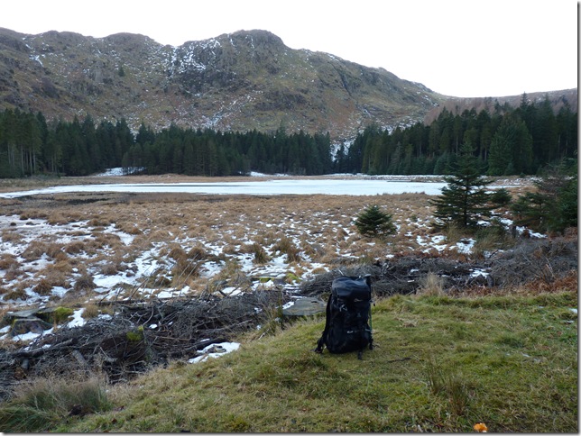
| The beautiful Harrop Tarn & yet another special place in Lakeland to me, time for something to eat me thinks |
 |
| |
Harrop Tarn & Tarn Crags from my lunch table. |
 |
| |
Dunmail Raise from the forest path. |
 |
| |
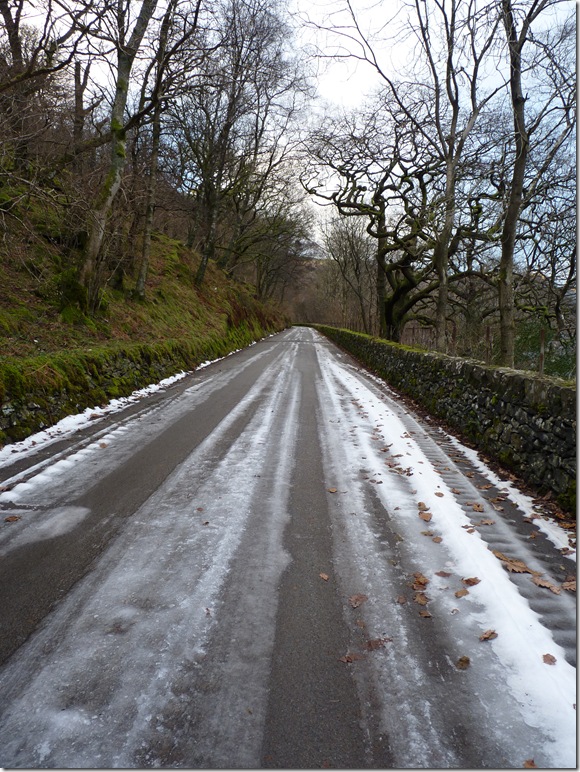
Back on the lake road & Armboth CP bound, its just under a two mile trek back to the car, what a great way to end a great days walking. |
|
| |
| Back to top |
 |
|