Scafell Pike

8th & 9th August 2009

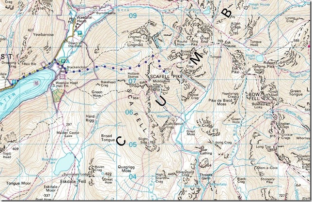
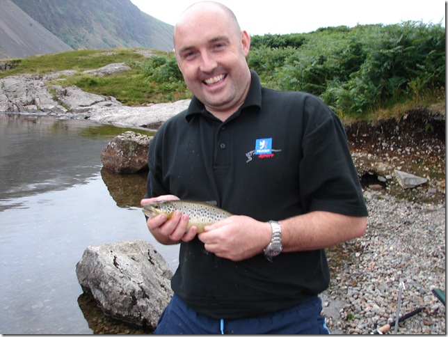
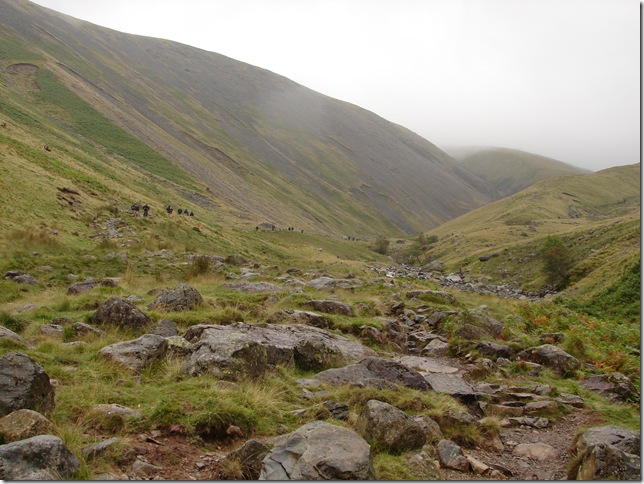
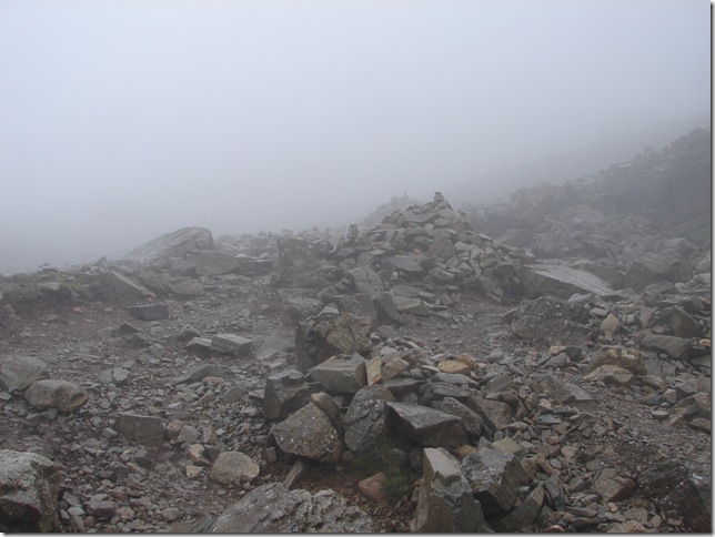
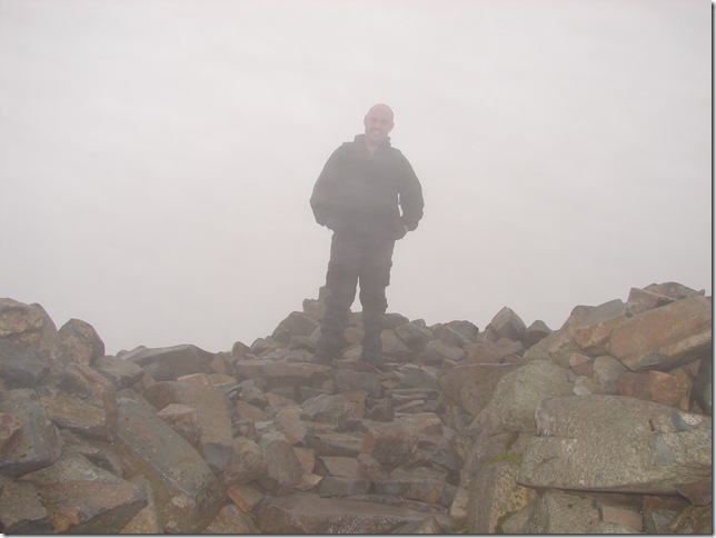
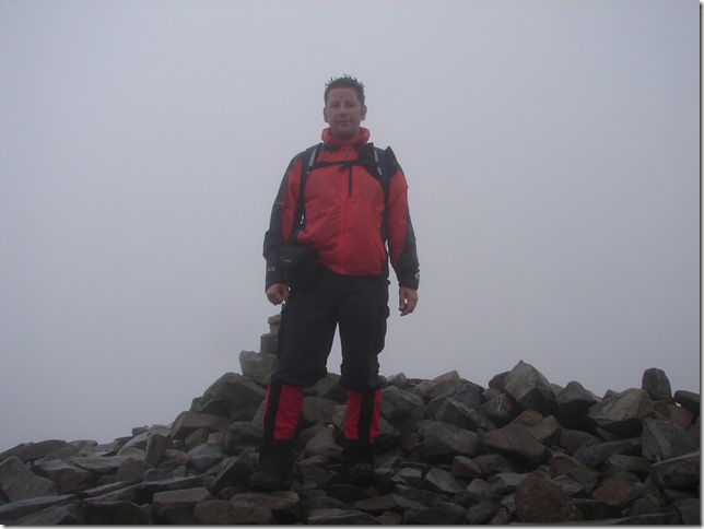
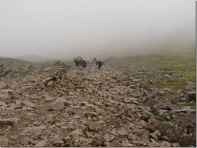
Scafell Pike has been on my “To do list” for as long as I’ve been Fell Walking ,I knew it was England’s Highest Mountain & that was simply my attraction ,But I had to learn to walk before I could run, Countless times Me & my mate Ste would put Scafell Pike in the diary but always come up with some feeble excuse not to do it or the Weather was to bad (which isn’t feeble at all)  And I’m glad in away because its not every weekend you tackle England’s highest ,it had to be right just like it had to be right before we did Striding Edge or Sharp Edge ,I don’t like to think that I’m going to attempt something slightly mad all guns blazing because for me it doesn’t work that way ,I like to do plenty of research before i walk a fell ,any fell for that matter ,Sometimes it pays off to.

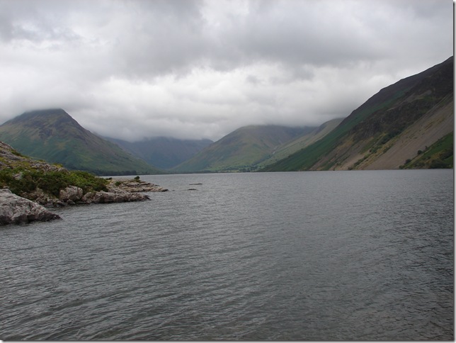
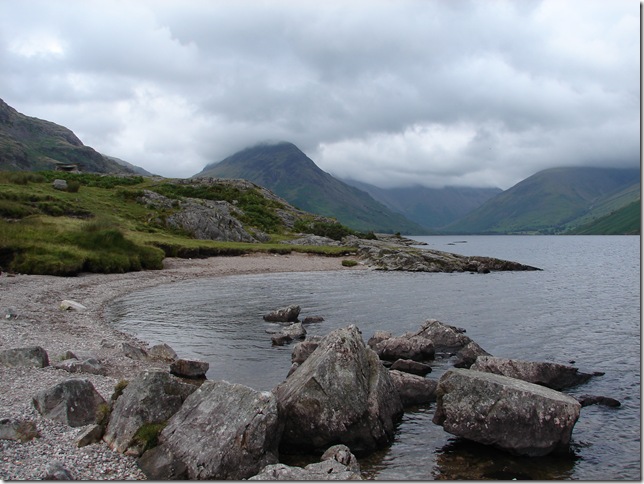
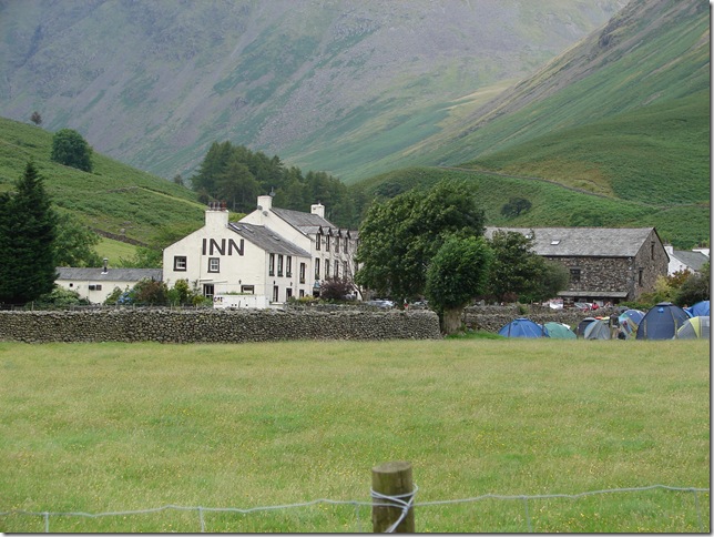
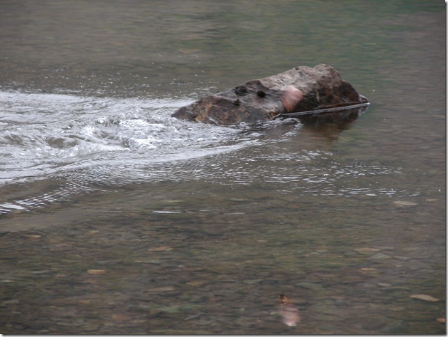
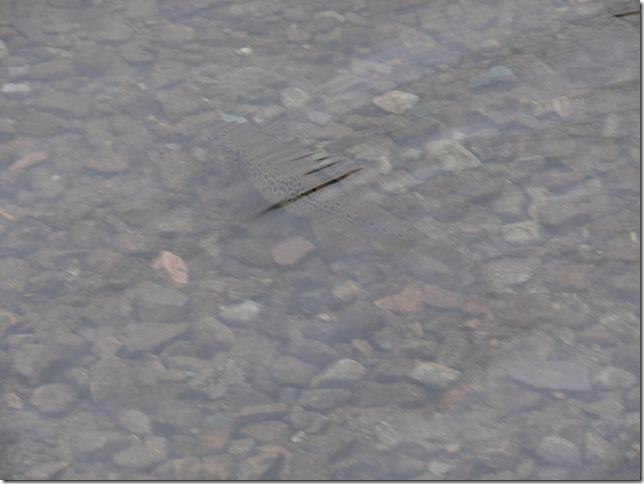
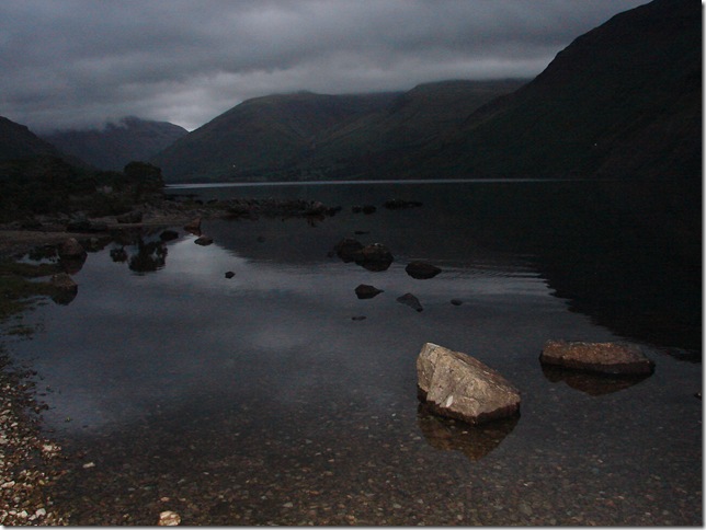
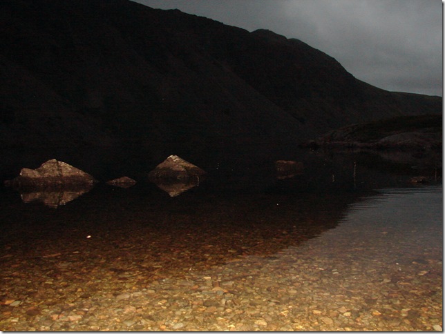
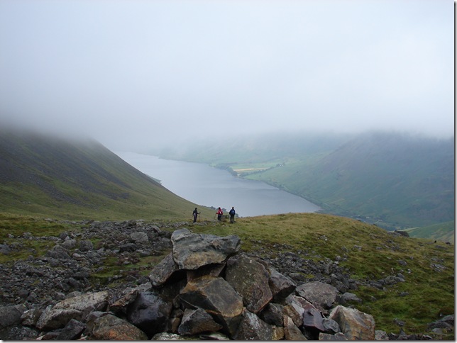
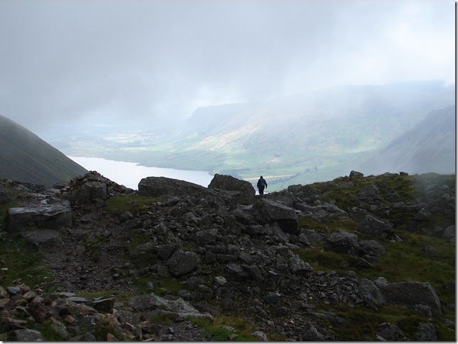
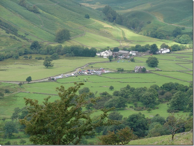
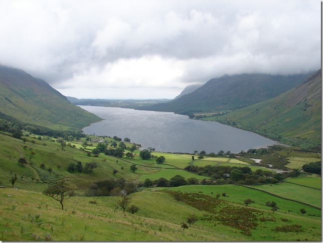
So the weekend had started off for us & we left for Wasdale around 1pm ,We Couldn’t see any point in getting there early because all we`d do is spend the extra time in the pub! We arrived at Wast Water around half four ,This being due to the fact that the car we was in decided to go in went into”limp home mode” all the way from Lancaster on the M6 & wouldn’t rev above 3500 rpm! Needless to say we got there,.  & on arrival at Wast Water we got out to stretch the legs before finding a place to set up,What we next came across was a couple looking with there binoculars staring straight at the Rock Screes on Illgill Head They’d been there a good 20 minuets listening to the scree falling & wondering where it was coming from because every time we heard it it seemed to becoming from different directions ,There definitely was some mad buggers climbing those screes but could we spot them!


Wainwright Guidebook

The Southern Fells


Overview
Ascent: 978 Mtrs  3210Ft
Wainwrights: 1, Scafell Pike
Weather: Light Rain ,Cloud & Mist On Higher Levels
Parking: Wasdale Head
Area: Southern
Miles:  
Walking With: Stephen Harrison
Ordnance Survey: OL6 (1:25)
Time Taken:  
Route:  
 

Map and Photo Gallery


Looking up Wast Water towards Kirk Fell & Lingmell ,You can see here that the cloud is pretty low & that’s how it stayed for the next 24hrs


We`d drove up the lake road a couple of times to try & find a decent place to stop & decided on a spot next to this little beach ,now time for a pint.


It was nice for a change to sit round the back of the pub ,pint in hand watching all the walkers come & go.


Back from the pub, & to save time we`d brought a pan of Hotpot & so while that was warming up on the stove ,Ste tried a spot of fishing & actually hooked a nice Brown Trout .


He’s happy now! Me.. ! never took to fishing,, way to slow pace for me.


Off you go son.


Just taking a few shots before it went dusk ,& you can see the cloud hasn’t lifted all day .


So I’m just taking a few more shots …


And this little bugger scared the life out of me !!where did he come from?


DAY 2, 

We awoke to rain hitting the tent & to say we was soaked before we even started would of been an understatement! Still sprits are high, Here we are just crossing the Bridge over Lingmell Beck


Brackenclose


Making our way up towards Lingmell before we hit the main route towards the Scafell Pike & here we must of passed at least 40/50 hikers coming off the fell ,We could only assume they doing the Three Peaks Challenge & by the looks on there faces I think we was right.


Crossing Lingmell Gill again .


Just hitting the cloud base now.


Pretty thankful for the cairns today.


Not to far from the summit now ,& still following the cairns,At this point it was just a case of following the path (or what we could see of it!) By this point the rain had stopped & it was the fine drizzle that the low clouds bring that was absolutely soaking us through.


Id treated myself to the all singing all dancing Sunnto Vector watch & round about this point i was clocking 940 Metres so I’m thinking the summit cant be far as we’ve just set on the boulder field.


Were here…


Check out the bright red Gaiters! Me on Scafell Pike summit And before anyone mentions it ,It was a first & last time for the Gaiters!


Me & Ste on to of England , We got this nice young lad to take this picture ,He’d travelled all the way from Seathwaite on his own using just his compass in this bad weather ,I had to admire him for that .


Scafell Pike Summit Trig Point.


The WW1 War memorial on the summit cairn


A quick picture then lunch.


Ok not the best of pictures, here it shows my altitude 1035mtrs & the time 10.23am ,So that makes it exactly 2hrs 10 mins Up which I’m pretty proud of, what I’m not proud of was setting the watch nearly 40mtrs out! but it was only my second time out using it!!  (Id set the altitude at 77mtes & not the 100mtrs I should have) we live & learn

Making our way back down now ,And id imagine its going to get pretty busy at the summit today


Zooming in on Wasdale Head .


Wast Water with Illgill Head & Middle Fell still under cloud .


Back to top