High Street From Patterdale

8th February 2009

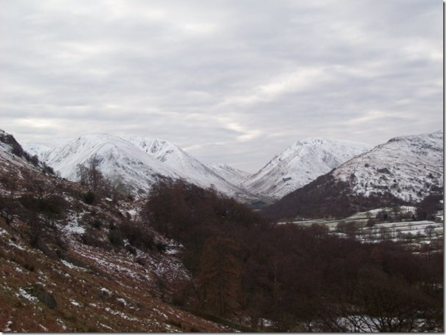
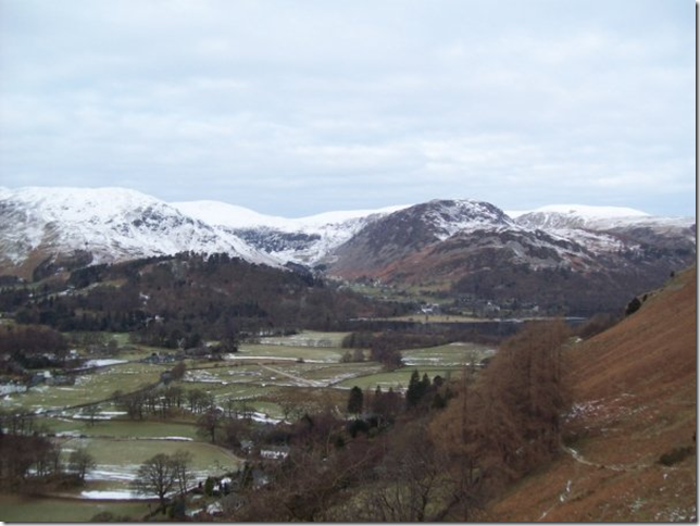
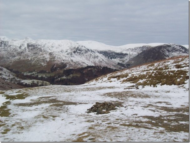
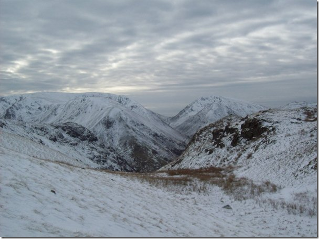
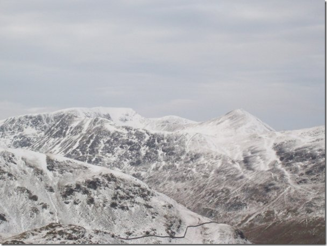
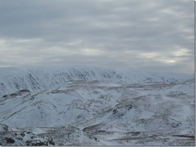
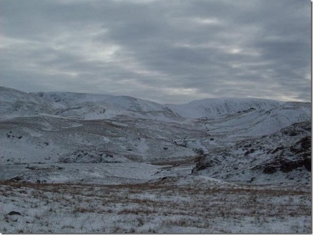
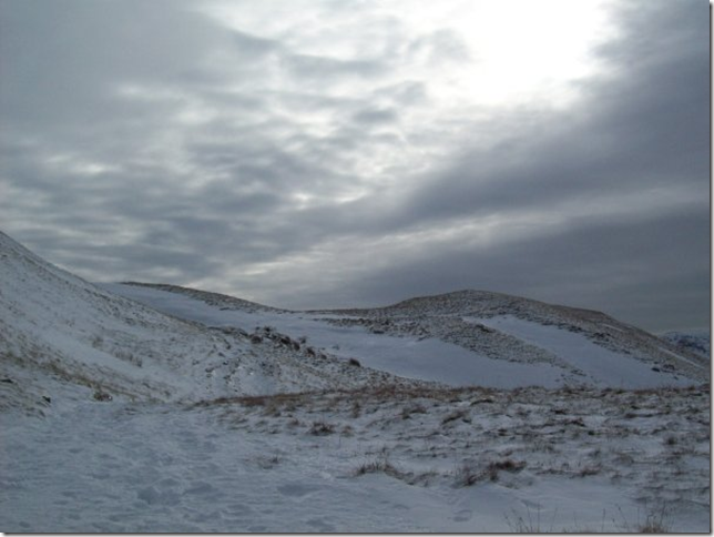
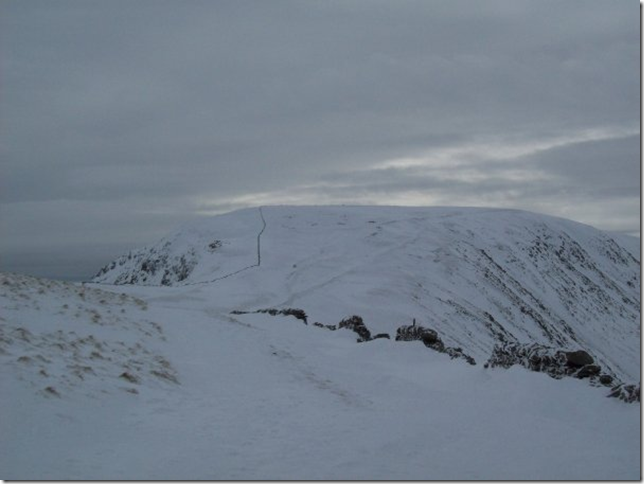
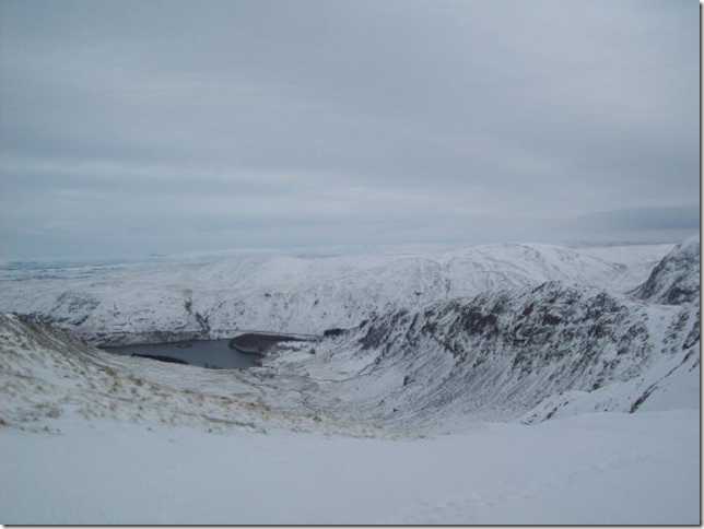
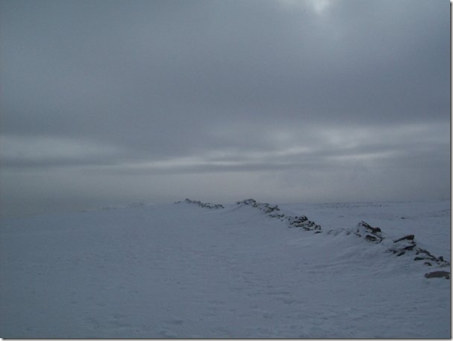
Previously Me and Ste had ascended from either Mardale or Hartsop on this favourite fell of ours. We were up for a longish walk on the fells so we’d planned High Street from Patterdale . The only problem or hurdle we had was the weather and with Mountain Rescue making the headlines sadly the last few weeks a lot of thought and planning went into this walk, Is planning the right word here? I’m not sure. After all we knew the route it had been covered numerous times in the last few months I guess what was in my head was knowing when to turn back…. I am id like to think “A safety first kind of guy” but that didn’t stop Mountain Rescue giving us stern warnings in the car park before we set off.

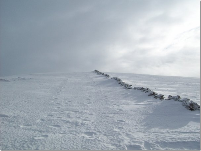
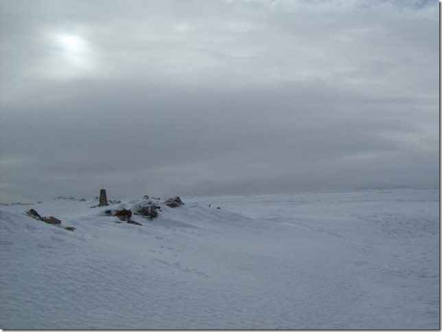
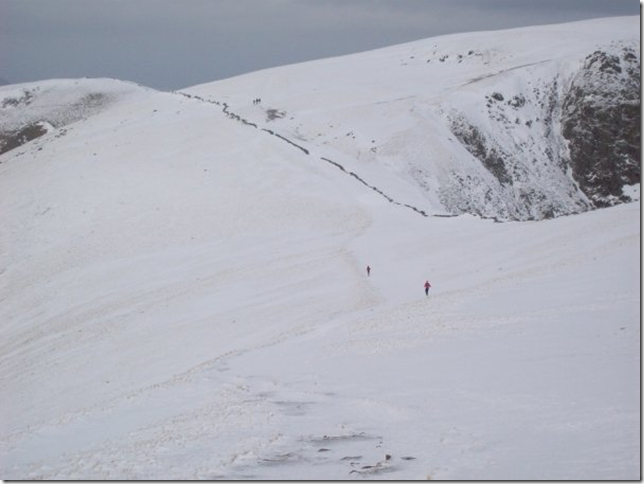
For the first half of the walk I couldn’t get what he’d said out of my head, maybe even a little “Who does he think he is? “Why did he make us feel so small and inadequate?  I guess this Gentleman was generally sick and tired of giving pep-talks to would be Julia Bradbury’s and him being there to pick up the pieces afterwards, It would get to anybody wouldn’t it? Of course it would. This gentleman knew everything about our route, where the ice had compacted to the meter cloud base the lot, I kind of got the feeling when asked -where was our Cramp-Ons? and me sheepishly answering we hadn’t any I’m guessing this guys thinking “yep see you later son”

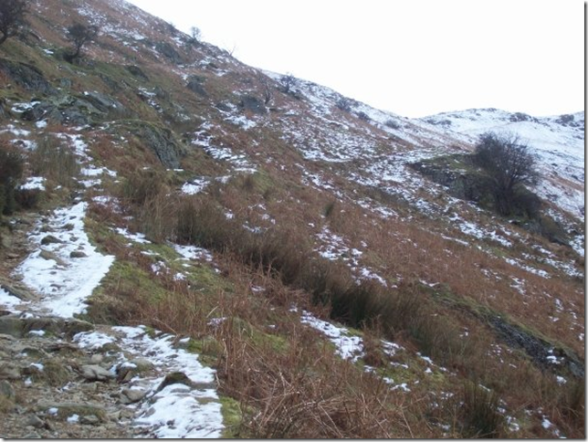
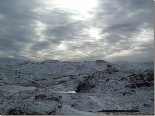
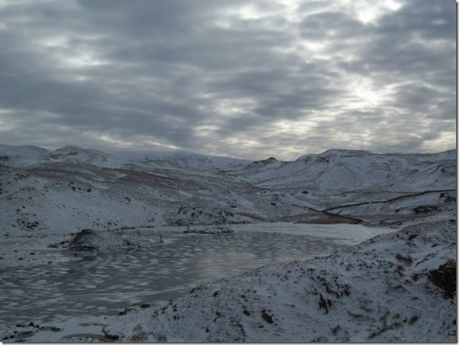
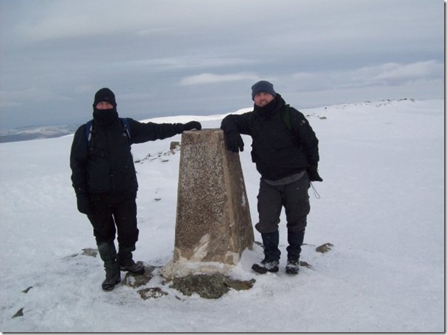
The thing is and its a really important thing, Is not knowing & knowing when to turn back, that can be a matter of live and death and in both our minds we knew so hopefully the day would turn out a walking success and it did and is one of my favourite Fell walks to date


Wainwright Guidebook

The Far Eastern Fells


Overview
Ascent: 828 Mtrs  2718Ft
Wainwrights: 3,  Angletarn Pikes - The Knott - High Street
Weather: Dry AM With Icy Conditions Some Snow & Hail PM
Parking: Layby Opposite The White Lion Pub, Patterdale
Area: Far Eastern
Miles:  
Walking With: Stephen Harrison
Ordnance Survey: OL5 (1:25)
Time Taken:  
Route: Patterdale - Rooking - Boredale Hause - Angletarn Pikes - Satura Crag - The Knott - Straights of Riggindale - High Street - Straights of Riggindale - Satura Crag - Boredale Hause - Rooking - Patterdale
 

Map and Photo Gallery


The Kirkstone Fells from our ascent on Boredale Hause.

Looking down the throat of Kirkstone Pass with Hartsop Dodd, Caudale Moor, Middle Dodd, Red Screes, High Hartsop Dodd .


Making our way up to Boredale Hause.

You cant really tell in the pictures but the path up here was “Glass like” and as soon as we hit the tightly packed snow ..well we just looked like a couple of Billy Goats hanging on for dear life! (Reminiscent of the conversation in the car park came flooding back right about here)


Looking back on Sheffield Pike, Hart Side and Raise.
 

Boredale Hause with the Eastern Fells in the background.


Next stop Angletarn Pikes.


The Kirkstone fells.

The cloud is really doing some dramatic stuff up there,you can actually see the weather front approaching from the West .


Helvellyn and Catstye Cam.


High Street in the far distance.


A very frozen Angle Tarn with The Knott and High Street in the Distance.


Angle Tarn & Brock Crags seen just before the decent to the Tarn.

I have to admit I really do like this picture with the glimpse of light trying to break through the grey cloud .


Angle Tarn.
 

Leaving Angle Tarn.
Making our way to The Knott next ,That’s if we cam make our over this angle deep frozen snow ,Ok i don’t mind admitting I weigh in around 14 stone and this snow was like rock in places just a case of treading carefully and you wont break through .All the foot prints are yesterdays I guess and frozen over night

Frozen Hayewswater

I’m really glad were not ascending from Hartsop today. Personally for me attempting The Knot from Hayeswater is one of the steepest ascents I’ve ever done.


Satura Crag gate post.

A Landmark on this trail the old Gatepost, Normally we would stop for coffee and rest here but not today.


Eastern Fells.

The Eastern Fells blanketed in snow.


Heading towards The Knott.

Following the path &  wall which will lead us on towards The Knott.


High Streey beyond the Straights of Riggindale.

After a very accent of The knott we approach The Straights of Riggindale and its getting pretty clear although its only lunchtime were starting to loose some light. So its a last push towards High Street, a quick coffee and sandwich and then head back before that very ominous black grey cloud completely engulfs us.


Riggindale.

High Street’s Ridges,The Rigg and Haweswater Reservoir seen here in between Kidsty Pike and High Street Summit.


Heading towards High Street.

Walking... or shall  say kicking boot holes in the snow for traction heading up towards High Street summit. You can clearly see the summit has had its fair share of snow, I would say the wall is round about 4ft in height and in sections you cant even see the top of it!


High Street summit.

High Street Summit Trig Point. We hadn’t seen a sole all day until we got to High Street, So we asked this kind gentleman to take this picture .


Overtone.

In the direction of Thornthwaite Crag which really was our next destination then back down Grey Crag, But our thinking was why head in to the bad weather lets keep it on our backs. Pick the pace up and head back the same way we came. It wasn’t a bad choice ,I really didn’t fancy heading into that cloud of snow and hail .


Hayeswater Frozen to the core.


Straights of Riggindale.

I say we didn’t see anybody all day, On our way back down Riggindale these two Fell Runners shot past us and then on to Kidsty Pike. I just do not know were these guys get there energy from.

Shortly after taking this photo the weather did actually catch up with us nothing serious just swilling snow whips and the odd hail stone.

All together another great walk to a favourite fell .


Back to top