|
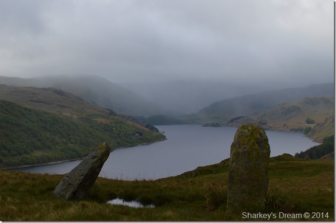
Four Stones Hill |
 |
 |
Overview |
 |
|
| Height: |
1,320 Feet - 402 Metres |
| Grid Ref: |
NY 491 162 |
| Area: |
Far Eastern |
| Group: |
E/LOA |
| Ordnance Survey: |
OL5 |
|
| |
|
Map and Photo Gallery |
|
|
|
| |
|
Walks including Four Stones Hill are:- |
|
|
High Street from Burnbanks |
|
|
 |
|
14th May 2022 |
| ASCENT: |
3,461 Feet - 1,055 Metres |
| MILES: |
16 |
| WAINWRIGHTS: |
5, Wether Hill - Rampsgill Head - High Street - Kidsty Pike - High Raise |
| ROUTE: |
Burnbanks - Burn Banks - Four Stones Hill - Low Kop - High Kop - Wether Hill - Red Crag - Raven Howe - High Raise (no summit) - Rampsgill Head - The Knott - Straights of Riggindale - High Street - Straights of Riggindale - Kidsty Pike - High Raise - Low Raise - Long Grain - Measand End - Pultsgill Sike - Measand Beck - Haweswater Shore Path - Burnbanks |
|
| |
|
Walking the Birketts, Bampton Fell above Haweswater |
|
|
|
|
7th April 2018 |
| ASCENT: |
1,096 Feet - 334 Metres |
| MILES: |
4.8 |
| BIRKETTS: |
Pinnacle Howe - Four Stones Hill - Bampton Fell |
| ROUTE: |
Burnbanks - Pinnacle Howe - Birkhouse Hill - Four Stones Hill - Bamptone Fell - Measand Beck - Burnbanks |
|
| |
|
Four Stones Hill to High Raise from Burnbanks |
|
|
|
|
8th May 2014 |
| ASCENT: |
2,800 Feet, 854 Meters |
| MILES: |
11 |
| WAINWRIGHTS: |
2, Wether Hill – High Raise (Martindale) |
| ROUTE: |
Burnbanks – Four Stones Hill – Low Kop – High Kop – Wether Hill – Red Crag – Red Crag Tarn – Raven Howe – High Raise (Martindale) – Low Raise – Long Grain – Measand End – Measand Beck – The Forces (Waterfall) – Haweswater – Burnbanks |
|
| |
| Back to top |
 |
|