A craggy southern front, a switchback ridge, a cluster of small but very beautiful tree – girt tarns (old reservoirs), and a great quarry that reveals the core of colourful slate lying beneath the glorious jungle of juniper & birch, heather and bracken, make this one of the most attractive of Lakeland fells.
Map and Photo Gallery
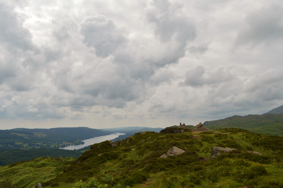
Windermere from Holme Fell.
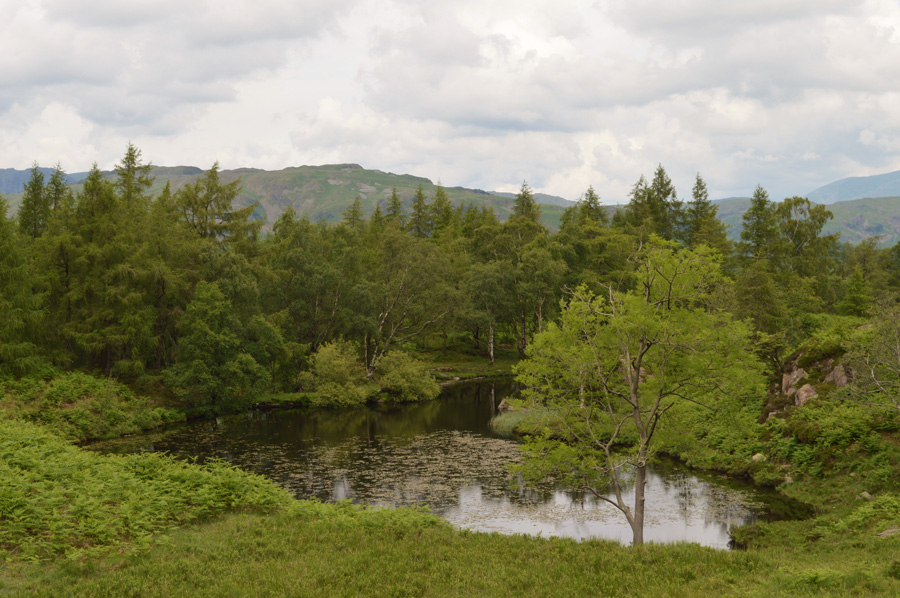
Disused Reservoir locally known as Holme Fell Tarn.
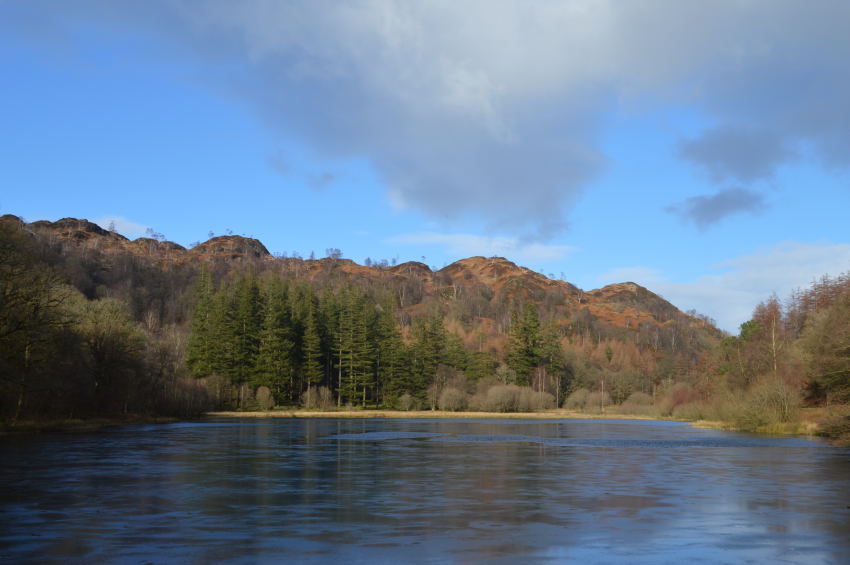
Yew Tree Tarn.
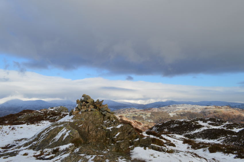
Holme Fell Summit cairn.
There are 4 walks to choose from including Holme Fell
Black Fell & Holme Fell from Yew Tree Tarn
22nd October 2023
ASCENT:
1,490 Feet - 454 Metres
MILES:
6.5
WAINWRIGHTS:
2, Black Fell (Black Crag) - Holme Fell
ROUTE:
Yew Tree Tarn – Lane Head Coppice – Tarn Hows – Iron Keld Plantation – Black Fell (Black Crag) – Low Arnside – Low Oxen Fell – High Oxen Fell Farm – Hodge Close – Holme Fell – Uskdale Gap – Harry Gaurds Wood – Yew Tree Tarn
Walking the Wainwrights in 30 Walks - Walk 17 Four Fells around Elterwater
Walthwaite Bottom - High Close - Loughrigg Terrace - Loughrigg Fell - Loughrigg Tarn - Skelwith Bridge - A593 - Park Farm - Low Arnside - Black Crag - Arnside Plantation - Iron Keld Plantation - Tarn Hows - Glen Mary Bridge - Harry Gaurds Wood - Uskdale Gap - Holme Fell - Holme Ground - Hodge Close - Little Langdale - Dale End - Lingmoor Quarry - Lingmoor Fell - Lingmoor Quarry - Baysbrown Woods - Sawreys Woods - Burlington Quarry - Elterwater - Walthwaite Bottom
Black Fell & Holme Fell from Yew Tree Tarn
18th January 2015
ASCENT:
1,490 Feet - Metres
MILES:
6.5
WAINWRIGHTS:
2, Black Fell (Black Crag) - Holme Fell
ROUTE:
Yew Tree Tarn – Glen Mary Bridge – Tarn Hows – Iron Keld Plantation – Black Fell (Black Crag) – Low Arnside – Low Oxen Fell – High Oxen Fell Farm – Hodge Close – Holme Fell – Uskdale Gap – Harry Gaurds Wood – Yew Tree Tarn