On the crest of the moorland between the Duddon Valley and Eskdale there rises from the heather a series serrated peaks not of any height but togeather forming a dark and jagged against the sky that, seen from certain directions, arrest the eye as do the Black Coolin of Skye.
Map and Photo Gallery
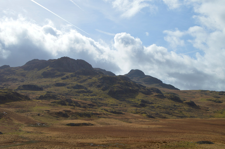
Great Winscale, Crook Crag and Green Crag seen over Foxbield Moss.
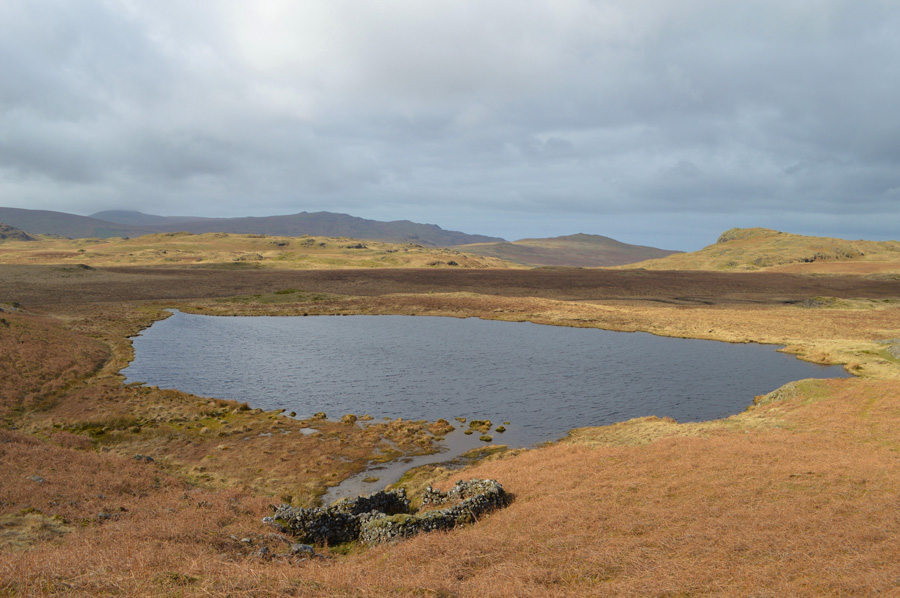
Low Birker Tarn.
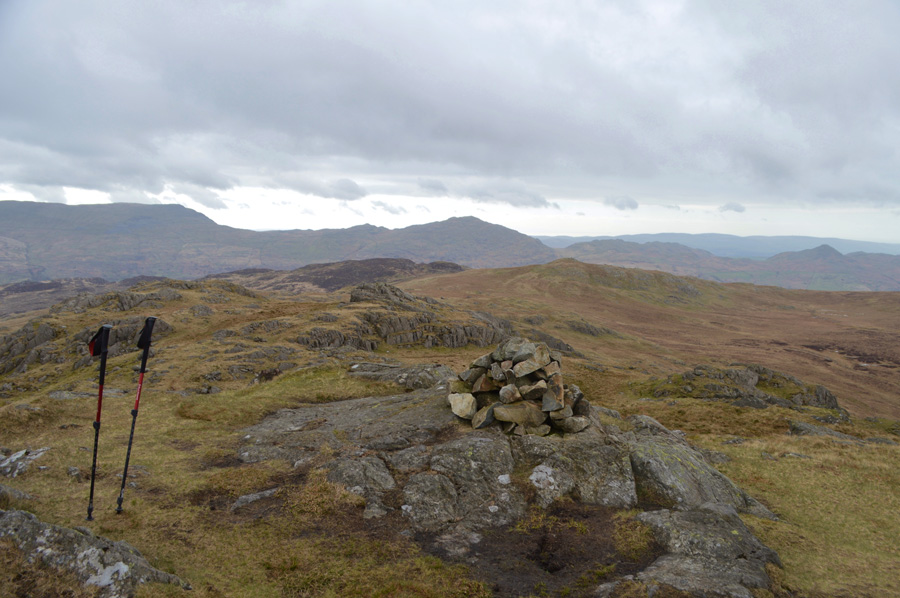
Green Crag summit cairn.
There are 2 walks to choose from including Green Crag
Walking the Wainwrights in 30 Walks - Walk 13 An Eskdale Trio
4th May 2016
ASCENT:
3,400 Feet - 1,037 Meters
MILES:
11
WAINWRIGHTS:
3, Green Crag - Harter Fell (Eskdale) - Hard Knott
ROUTE:
Wha House Farm Eskdale - Woolpack Inn - Docktor Bridge - Low Birker - Low Birker Tarn - Green Crag - Long Crag - Harter Fell (Eskdale) - Hardknott Pass - Hard Knott - Great Gill - River Esk - Brotherilkeld - Wha House Farm Eskdale